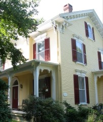
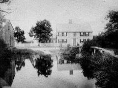
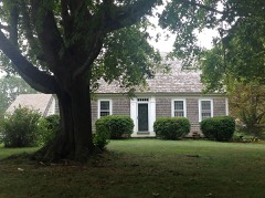
Built in 1641 in the First Period. Listed on the National Register of Historic Places in
1976. A historic map-sheet match is not published yet. The record needs a coordinate-quality review before it can be joined to a sheet boundary.
From the record
“Wing Fort House is a historic house at Spring Hill Road in East Sandwich, Massachusetts, located within the Spring Hill Historic District. It was built in 1641 and added to the National Register of Historic Places in 1976.”
Wikipedia article Wing Fort House, CC BY-SA 4.0.
one of 145 National Register listings in Barnstable County · listed in 1976 · category: Building · built in 1641, First Period.
Architectural style. First Period, colonial architecture
National Register reference number.76000227- the number the National Park Service assigned this property when it was listed, and the key its nomination file is catalogued under at the National Archives.
Regional context, not property-specific
evidence. The
federal wildfire occurrence database
lists 86 fires within 5 miles of Wing Fort House between
2001 and 2020, burning about 191 acres in total. 5 started naturally. 3 were recorded as arson.
Distance is straight-line from the map coordinates, so a fire counted
here may appear on a neighbouring settlement's page as well.
Reported cause
Fires
Missing data/not specified/undetermined
36
Debris and open burning
20
Smoking
9
Equipment and vehicle use
8
Natural
5
Recreation and ceremony
3
Arson/incendiarism
3
Misuse of fire by a minor
2
The most recent of
them, most recent first, with the day each was reported and the service
that recorded it.
Regional context, not property-specific
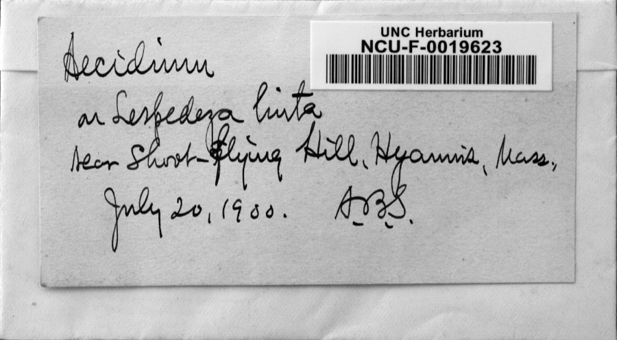
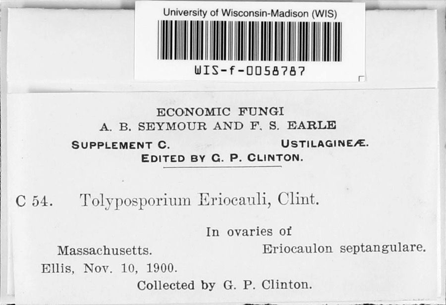
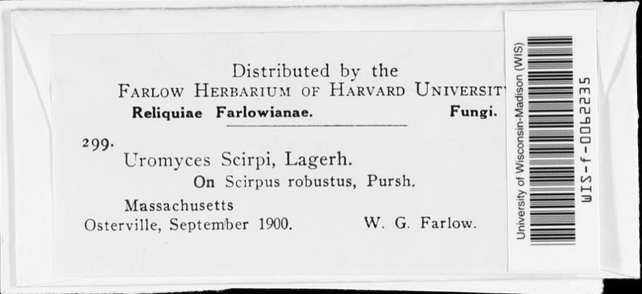
evidence. Museums hold 3,180 specimens
collected within 10 miles of Wing Fort House between 1816 and
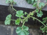
1975: 2,275 Animalia, 603 Plantae, 175 Fungi, 117 Chromista, 7 Protozoa, 2 Bacteria, 1 Unrecorded. 12 distinct Species records are shown.
Collected by A. B. Seymour, A. R. Hodgdon, A. R. Hodgdon; E. J. Hehre and others. Each is a
physical object with a catalogue
number, and each entry opens the museum's record. This is what was
collected and kept, not a survey of what lives here - nothing can be
concluded from a species being absent.
Regional context, not property-specific
evidence. The federal mineral resources record lists
4 workings within 5 miles of Wing Fort House: 3 producers, 1 past producer.
3 still produce. What was taken out: Sand and Gravel, Construction. Distance is straight-line from the
map coordinates, so a quarry counted here may appear on a neighbouring
settlement's page as well.
Regional context, not property-specific
evidence. The National Weather Service names
East Sandwich, the town this property stands in, in 4 storm reports between 2002 and 2017: 2 lightning, 2 flood.
The reports record 2 injuries. Each account below is quoted exactly as the forecast office
filed it, from the NOAA Storm Events Database, and each date
opens the federal record of that event.
Flooding in Sandwich on the Mid-Cape Highway Service Road between Exits 3 and 4. The Automated Surface Observation System platform at Barnstable Municipal Airport measured a Storm Total Rainfall of 5.14 inches.
No historic map-sheet match is published
for this property yet. That does not mean no map exists. This record needs
a coordinate-quality review before it can be joined to a sheet boundary.
Browse the county's mapped places while that work is
pending.
From the nomination file
3,358 words on record
When this property was proposed for the
National Register, someone wrote the case for it: what the building is,
and why it matters. That document is a federal record in the public domain.
It is quoted below word for word, never summarised. The text was read off the scanned case file by machine, so the
occasional stray character is the recogniser's and the 1970s
typewriter's.
Description of the property
The Wing Fort House is situated on a narrow country lane near the Cape Cod Bay in Sandwich. The surrounding land is open and fairly flat, with marshes behind the house leading out to the dunes on the beach. The setting around the house has prob- ably not changed very much since the house was built; because of the marshes there has not been any modern development within sight of the building. The house itself is two stories high, four bays wide, and has a center chimey. The exterior walls and the roof are shingled, and the windows all have 12/12 sash. The main door is located in the second bay from the left and another door leads into the main part of the house from a low one story shed off the west gable end.
The building was originally a one and a half story, one over one room so-called "fort", built shortly before 1641. The size of the original structure was more than doubled with the addition of another one over one house, moved to the site and joined to the original building. According to Abbott Lowel1 Cummings, this most likely occurred in the mid-eighteenth century, although the moved building was probably constructed c. 1700. When the houses were joined, each lost its original chimney and a new one, of irregular shape to accommodate the di fferent dimensions of the two solve the problem of the different depths of the buildings, and a new roof was con- structed over both the houses.
The new paneling in the Old Fort Room, instead of replacing the seventeenth century vertical paneling, was built out a few inches over the older wall surface.
/ARCHITECT The Wing Fort House, which incorporates one of the oldest structures extant in New England, is a significant architectural and historic landmark on Cape Cod. The house gains additional significance from the fact that it has been owned by the same family since 1641, and as such presents an accurate record of how succeeding generations of a New England family lived. The first members of the Wing family to come to the new world were Deborah Wing and her four sons, who came to Boston in 1632. Deborah's husband, the Reverend John Wing, Em 12 to had been a prominent clergyman in London but had fled to Germany and then to Holland when he disagreed with the teachings of the Church of England.
After he died his 80n don widow and four sons moved to Boston to seek what they thought would be an atmosphere of religious freedom, and settled in Saugus. In 1637 Deborah and her sons John, David and Stephen moved to Sandwich with the "ten men of Saugus" who had received a grant from the Crown to the section of Cape Cod which lay south of the Plymouth Colony. Stephen, carrying on his father's dissenting beliefs, became a founding member of the first Friends Meeting in America which was established in Spring Hill in 1658. He suffered great persecution at. the hands of the Plymouth, government because of his beliefs, but was nevertheless a respected citizen of Sandwich. Stephen was the Wing who, in 1641, bought the original one room fort which is still incorporated in the present house.
The house has remained in the possession of the Wing family since that date.
Quoted from the National Register nomination
for reference 76000227, 19 pages, held by the National Archives in Record
Group 79. See the
catalogue record.
Listed places nearby
6 within 8 miles
Other National Register properties close
enough to walk or drive between, ordered by distance from this one. Both
positions come from the same geocoding pass that matched these properties
to their map sheets.
Listing record. National Park Service National Register of Historic Places, listed-properties dataset, current to 2026-05-22.
Map join. Address geocoded through the United States Census geocoder, then tested against the published boundary of every sheet in the USGS Historical Topographic Map Collection.
How this page is made. Listing fields come from federal records; map-sheet coverage is a labelled coordinate-to-boundary calculation, not a source-field claim.
Wildfire. Short, Karen C. 2022. Spatial wildfire occurrence data for the United States, 1992-2020 [FPA_FOD_20221014]. 6th Edition. Fort Collins, CO: Forest Service Research Data Archive. https://doi.org/10.2737/RDS-2013-0009.6 Collected with United States Government funding and usable without additional permissions or fees.
Specimens. Global Biodiversity Information Facility (GBIF), https://www.gbif.org/. Only records licensed CC0 or CC BY are used. Records licensed CC BY-NC are excluded because this site carries advertising. Images are checked individually and any whose licence is non-commercial, no-derivatives or unreadable is refused.
Mines and quarries. USGS Mineral Resources Data System (MRDS) https://mrdata.usgs.gov/mrds/ A work of the United States government, no copyright under 17 U.S.C. 105.
Storms. NOAA National Centers for Environmental Information, Storm Events Database https://www.ncei.noaa.gov/stormevents/ A work of the United States government, no copyright under 17 U.S.C. 105. Narratives are quoted verbatim from the National Weather Service report and are not edited or summarised.
 Block
Block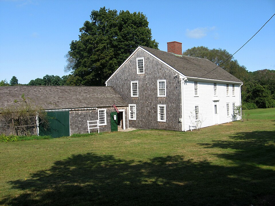



_002.jpeg)