Photographs from the nomination case file, National Park Service records.
Lane, Anthony, House
Listed on the National Register of Historic Places in
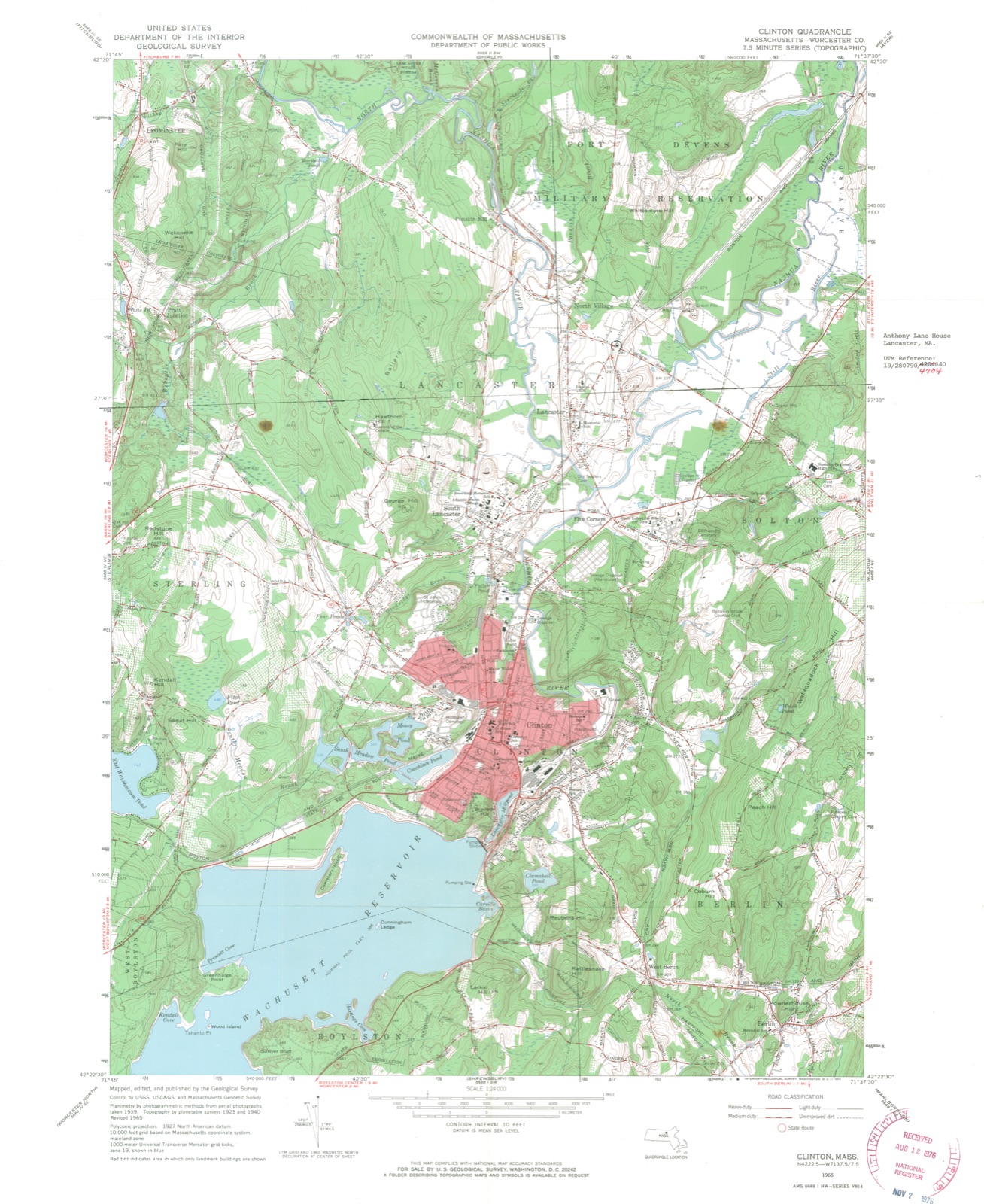
1976. A historic map-sheet match is not published yet. The record needs a coordinate-quality review before it can be joined to a sheet boundary.
From the record
one of 500 National Register listings in Worcester County · listed in 1976 · category: Building · one of 1 National Historic Landmarks in Worcester County.
National Register reference number.76000300- the number the National Park Service assigned this property when it was listed, and the key its nomination file is catalogued under at the National Archives.
Fires near this property
125 since 2002
Regional context, not property-specific
evidence. The
federal wildfire occurrence database
lists 125 fires within 5 miles of Lane, Anthony, House between
2002 and 2020, burning about 2,735 acres in total. None started naturally. 3 were recorded as arson.
Distance is straight-line from the map coordinates, so a fire counted
here may appear on a neighbouring settlement's page as well.
Reported cause
Fires
Debris and open burning
60
Missing data/not specified/undetermined
28
Recreation and ceremony
18
Smoking
9
Equipment and vehicle use
4
Arson/incendiarism
3
Misuse of fire by a minor
2
Railroad operations and maintenance
1
The most recent of
them, most recent first, with the day each was reported and the service
that recorded it.
Regional context, not property-specific
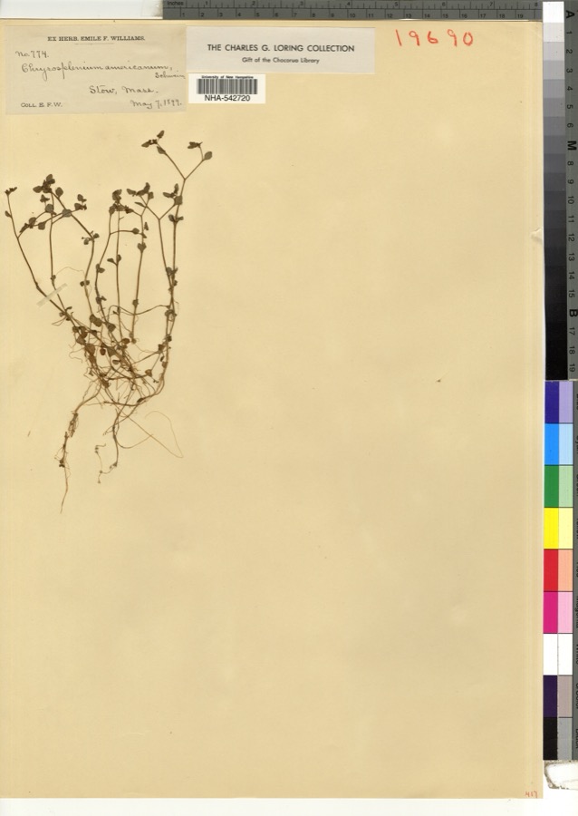
evidence. Museums hold 2,108 specimens
collected within 10 miles of Lane, Anthony, House between 1859 and
1974: 1,238 Animalia, 524 Plantae, 327 Fungi, 10 Unrecorded, 8 Chromista, 1 Protozoa. 12 distinct Species records are shown.
Collected by A. B. Seymour, A. C. Gibson, A. Ferrett and others. Each is a
physical object with a catalogue
number, and each entry opens the museum's record. This is what was
collected and kept, not a survey of what lives here - nothing can be
concluded from a species being absent.
Regional context, not property-specific
evidence. The federal mineral resources record lists
10 workings within 5 miles of Lane, Anthony, House: 5 past producers, 4 producers, 1 prospect.
4 still produce. What was taken out: Sand and Gravel, Construction, Iron, Zinc, Stone, Crushed/Broken. Distance is straight-line from the
map coordinates, so a quarry counted here may appear on a neighbouring
settlement's page as well.
Regional context, not property-specific
evidence. The National Weather Service names
Lancaster, the town this property stands in, in 8 storm reports between 2005 and 2026: 6 thunderstorm wind, 1 hail, 1 funnel cloud.
No death or injury is recorded in these reports. Each account below is quoted exactly as the forecast office
filed it, from the NOAA Storm Events Database, and each date
opens the federal record of that event.
1 paper published in this town,
digitised by the Library of Congress and free to read: 0 issues,
0 pages. Every page is searchable, so a name or a street can be
looked for directly in what the town printed about itself at the time.
No historic map-sheet match is published
for this property yet. That does not mean no map exists. This record needs
a coordinate-quality review before it can be joined to a sheet boundary.
Browse the county's mapped places while that work is
pending.
From the nomination file
2,065 words on record
When this property was proposed for the
National Register, someone wrote the case for it: what the building is,
and why it matters. That document is a federal record in the public domain.
It is quoted below word for word, never summarised. The text was read off the scanned case file by machine, so the
occasional stray character is the recogniser's and the 1970s
typewriter's.
Description of the property
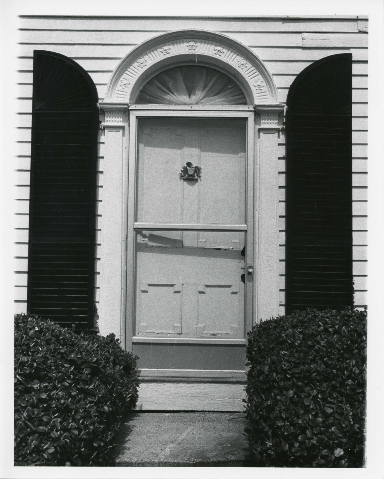
The Anthony Lane House is situated forward on two acres amidst graceful landscaping at the intersection of Harvard and Seven Bridge Roads, east of the North Village, in the northeast corner of the town. The plan of the house is one room deep with two rooms to each floor. It is 2½ stories high with the gable and five bay wide facade facing the street. The facade and rear elevation are sheathed in clapboard, The side elevations are brick painted white. Fenestration throughout is six over six double hung sash, framed by simple moulding strips and operational shutters. There are two interior chimneys, one on each side. The center entry is a single round arched opening framed by slender open pilasters.
The fan window set in the round arch is framed by a cornice and frieze band of alternating rosettes and triglyphs. Above the second floor is a continuous cornice supported by modi- Ilions._ Under the eaves of the gable pediment, on the facade, is a wide frieze band. To the rear is a two story ell with hipped roof housing the kitchen and rear stairs. Attached to this ell is a single story gabled two car garage. Structurally, the main portion of the house is pegged post and beam. 3 X 4 studs are tenoned into the frame 24"' on center. Bracing is morticed and tenoned into the major uprights. Ihe Iound- ation is stone rubble, with granite slab facing. The interior remains mostly intact. T'he wainscoting, throughout the house, is particularly noteworthy in the parlor for its delicate carvings.
Statement of significance
/ARCHITECTPliny Newhall The Anthony Lane House was built in 1809 by Pliny Newhall, a bricklayer. He purchased the land in 1808 from his employer, Robert crom hisehally Townsend, who owned a brickyard across the street from the houselot. Newhall's wife Patty and their infant both died one year after moving into the house. child. A son was born in 1814 and another in He remarried and agaiti815. 1813, lost a In 1818 Newhall sold the house to Captain Anthony Lane, who was the son of Deacon Jonas Lane, an important tigure in Lancaster town history. Always intluential in church and town captain Lane served as Selectman on three different occassions. Captain Lane was married twice while living in this house; he had no children from either marriage.
Although he was a talented craftsman and cabinetmaker, Captain Lane listed his occupation as farmer. The house is significant architecturally, as a fine example of Federal style architecture in Lancaster. Its sophisticated design is reflected in the graceful entrance. One of the unique features of the house is the pedimented gable of the facade which in combin- ation with the narrow plan of the house, creates a delightful massing in this distinctive combination of Greek Revival and Federal styles.
Quoted from the National Register nomination
for reference 76000300, 12 pages, held by the National Archives in Record
Group 79. See the
catalogue record.
Listed places nearby
6 within 8 miles
Other National Register properties close
enough to walk or drive between, ordered by distance from this one. Both
positions come from the same geocoding pass that matched these properties
to their map sheets.
Listing record. National Park Service National Register of Historic Places, listed-properties dataset, current to 2026-05-22.
Map join. Address geocoded through the United States Census geocoder, then tested against the published boundary of every sheet in the USGS Historical Topographic Map Collection.
How this page is made. Listing fields come from federal records; map-sheet coverage is a labelled coordinate-to-boundary calculation, not a source-field claim.
Wildfire. Short, Karen C. 2022. Spatial wildfire occurrence data for the United States, 1992-2020 [FPA_FOD_20221014]. 6th Edition. Fort Collins, CO: Forest Service Research Data Archive. https://doi.org/10.2737/RDS-2013-0009.6 Collected with United States Government funding and usable without additional permissions or fees.
Specimens. Global Biodiversity Information Facility (GBIF), https://www.gbif.org/. Only records licensed CC0 or CC BY are used. Records licensed CC BY-NC are excluded because this site carries advertising. Images are checked individually and any whose licence is non-commercial, no-derivatives or unreadable is refused.
Mines and quarries. USGS Mineral Resources Data System (MRDS) https://mrdata.usgs.gov/mrds/ A work of the United States government, no copyright under 17 U.S.C. 105.
Storms. NOAA National Centers for Environmental Information, Storm Events Database https://www.ncei.noaa.gov/stormevents/ A work of the United States government, no copyright under 17 U.S.C. 105. Narratives are quoted verbatim from the National Weather Service report and are not edited or summarised.
 Block
Block