 Block
BlockFrom the record
one of 500 National Register listings in Worcester County · listed in 2019 · category: Site · one of 1 National Historic Landmarks in Worcester County.
Sources: the National Register database, National Park Service

Listed on the National Register of Historic Places in 2019. A historic map-sheet match is not published yet. The record needs a coordinate-quality review before it can be joined to a sheet boundary.
one of 500 National Register listings in Worcester County · listed in 2019 · category: Site · one of 1 National Historic Landmarks in Worcester County.
Sources: the National Register database, National Park Service
Regional context, not property-specific evidence. The federal wildfire occurrence database lists 111 fires within 5 miles of Middle Cemetery between 2002 and 2020, burning about 2,732 acres in total. None started naturally. 5 were recorded as arson. Distance is straight-line from the map coordinates, so a fire counted here may appear on a neighbouring settlement's page as well.
| Reported cause | Fires |
|---|---|
| Debris and open burning | 52 |
| Missing data/not specified/undetermined | 26 |
| Recreation and ceremony | 16 |
| Arson/incendiarism | 5 |
| Smoking | 5 |
| Equipment and vehicle use | 4 |
| Misuse of fire by a minor | 3 |
The most recent of them, most recent first, with the day each was reported and the service that recorded it.
| Date | Cause | Size | Reported by | Name on the report |
|---|---|---|---|---|
| 7 September 2015 | Debris and open burning | under an acre | Massachusetts Bureau of Forest Fire Control | not named |
| 5 September 2016 | Recreation and ceremony | under an acre | Massachusetts Bureau of Forest Fire Control | not named |
| 18 August 2016 | Missing data/not specified/undetermined | under an acre | Massachusetts Bureau of Forest Fire Control | not named |
| 18 August 2016 | Missing data/not specified/undetermined | under an acre | Massachusetts Bureau of Forest Fire Control | not named |
| 14 August 2002 | Missing data/not specified/undetermined | 300 acres | Massachusetts Bureau of Forest Fire Control | DEVENS |
| 10 August 2015 | Equipment and vehicle use | under an acre | Massachusetts Bureau of Forest Fire Control | not named |
| 1 August 2020 | Missing data/not specified/undetermined | 80 acres | Massachusetts Bureau of Forest Fire Control | not named |
| 1 August 2016 | Recreation and ceremony | under an acre | Massachusetts Bureau of Forest Fire Control | not named |
Regional context, not property-specific evidence. Museums hold 1,931 specimens collected within 10 miles of Middle Cemetery between 1859 and 1974: 1,130 Animalia, 516 Plantae, 273 Fungi, 6 Unrecorded, 5 Chromista, 1 Protozoa. 12 distinct Species records are shown. Collected by A. C. Gibson, A. Ferrett, A. G. Chandler and others. Each is a physical object with a catalogue number, and each entry opens the museum's record. This is what was collected and kept, not a survey of what lives here - nothing can be concluded from a species being absent.
| Image | Species | Year | Collected by | Where, as recorded |
|---|---|---|---|---|
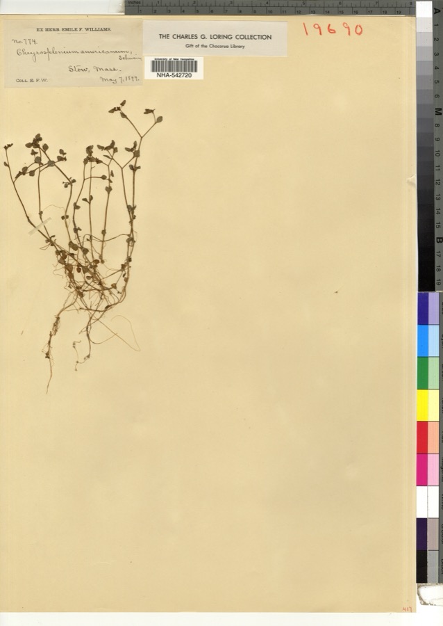 | Chrysosplenium americanum Schwein. ex Hook. | 1899 | E. F. Williams | |
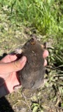 | Condylura cristata cristata (Linnaeus, 1758) | 1859 | E S Wheeler | BERLIN |
 | Dryobates pubescens medianus (Swainson, 1832) | 1861 | not recorded | Bolton |
 | Clemmys insculpta Fitzinger, 1835 | 1864 | Agassiz | |
 | Bromus sterilis L. | 1879 | C. E. Faxon | |
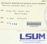 | Merulius lacrymans (Wulfen) Schumach. | 1879 | Howes, A. | Massachusetts |
 | Icterus galbula (Linnaeus, 1758) | 1881 | G. L. Brigham | Bolton |
| Nitella megacarpa (T.F.A.) R.D.W. | 1881 | T. F. Allen | Nashua River | |
| Arthuriomyces peckianus (Howe) Cummins & Y.Hirats. | 1892 | W. B. Hosmer | ||
 | Castilleja coccinea (L.) Spreng. | 1892 | E. C. Smith | Marboro. |
| Tyrannus tyrannus (Linnaeus, 1758) | 1892 | G.L. Brigham | Bolton | |
| Seiurus aurocapilla aurocapilla (Linnaeus, 1766) | 1894 | Collector(s): James Lee Peters | Harvard |
All 1,931 specimens within 10 miles, at the Global Biodiversity Information Facility.
Regional context, not property-specific evidence. The federal mineral resources record lists 11 workings within 5 miles of Middle Cemetery: 7 past producers, 3 producers, 1 prospect. 3 still produce. What was taken out: Sand and Gravel, Construction, Iron, Zinc. Distance is straight-line from the map coordinates, so a quarry counted here may appear on a neighbouring settlement's page as well.
| Where | Site | Commodity | Status | Recorded |
|---|---|---|---|---|
| Sterling Prospect | Iron, Zinc | Prospect | ||
| Bates Sand and Gravel Co. | Sand and Gravel, Construction | Past Producer | Sedimentary | |
| Berlin Pit | Sand and Gravel, Construction | Past Producer | ||
| Bolton Pit | Sand and Gravel, Construction | Past Producer | ||
| Kanis Pit | Sand and Gravel, Construction | Producer | ||
| Lancaster Pit | Sand and Gravel, Construction | Producer | ||
| Landfill Pit | Sand and Gravel, Construction | Past Producer | ||
| Landfill Pit | Sand and Gravel, Construction | Past Producer | ||
| Spratts Pit | Sand and Gravel, Construction | Past Producer | ||
| Sterling Pit | Sand and Gravel, Construction | Producer |
Regional context, not property-specific evidence. The National Weather Service names Lancaster, the town this property stands in, in 8 storm reports between 2005 and 2026: 6 thunderstorm wind, 1 hail, 1 funnel cloud. No death or injury is recorded in these reports. Each account below is quoted exactly as the forecast office filed it, from the NOAA Storm Events Database, and each date opens the federal record of that event.
| When | Event | Place named | Harm | What the report says |
|---|---|---|---|---|
| July 2016 | Thunderstorm Wind | Lancaster | $25,000 | Trees and wires were downed by thunderstorm winds throughout town. |
| April 2026 | Thunderstorm Wind | South Lancaster | $10,000 | In Lancaster, a tree was down on a house near Crescent St. |
| August 2005 | Thunderstorm Wind | Lancaster | $5,000 | no account filed |
| May 2020 | Thunderstorm Wind | South Lancaster | $4,000 | In Lancaster, a tree was down on a house on Charlotte Street. |
| July 2017 | Thunderstorm Wind | Lancaster | $1,000 | At 110 PM EST, a large tree was down blocking Bolton Station Road. |
| June 2020 | Thunderstorm Wind | Lancaster | $800 | In Lancaster, a tree and wires were down on Neck Road. |
| July 2010 | Funnel Cloud | Lancaster | - | Several spotters reported a funnel cloud near Lancaster. |
| July 2008 | Hail | Lancaster | - | no account filed |
1 paper published in this town, digitised by the Library of Congress and free to read: 0 issues, 0 pages. Every page is searchable, so a name or a street can be looked for directly in what the town printed about itself at the time.
| Newspaper | Published |
|---|---|
| Lancaster Gazette | 1828 to 1830 |
No historic map-sheet match is published for this property yet. That does not mean no map exists. This record needs a coordinate-quality review before it can be joined to a sheet boundary. Browse the county's mapped places while that work is pending.
Other National Register properties close enough to walk or drive between, ordered by distance from this one. Both positions come from the same geocoding pass that matched these properties to their map sheets.
| Photograph | Property | Distance | Listed |
|---|---|---|---|
| Old Settlers' Burying Ground | 0.1 miles | 2019 | |
| Atherton Bridge | 0.3 miles | 1979 | |
| Founder's Hall | 0.6 miles | 1980 | |
| South Lancaster Engine House | 0.6 miles | 1976 | |
| Lane, Anthony, House | 1.2 miles | 1976 | |
| Bowers School | 2.0 miles | 1983 |
| National Archives record | The nomination case file for reference 100004560 in Record Group 79. |
| Worcester County | All 500 listed properties in this county. |