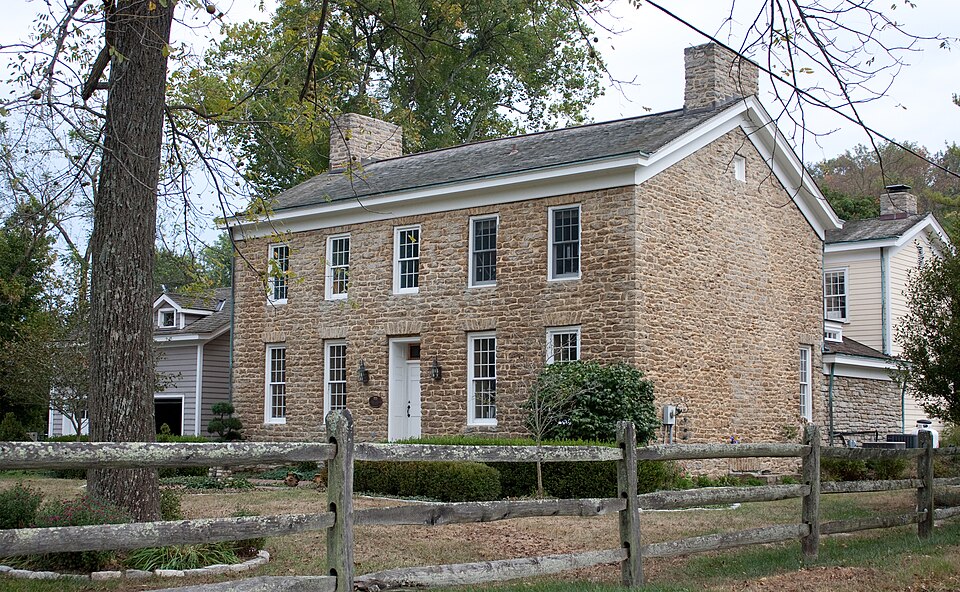
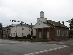
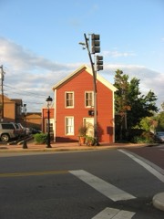
Built in 1802. Listed on the National Register of Historic Places in
1976. A historic map-sheet match is not published yet. The record needs a coordinate-quality review before it can be joined to a sheet boundary.
From the record
“The Elliott House is a historic residence in the city of Indian Hill in northeastern Hamilton County, Ohio, United States. Constructed in 1802, this farmhouse once served as the hub of an industrial operation, and since that time it has been named a historic site.”
Wikipedia article Elliott House (Indian Hill, Ohio), CC BY-SA 4.0.
one of 314 National Register listings in Hamilton County · listed in 1976 · category: Building · built in 1802 · one of 9 National Historic Landmarks in Hamilton County.
National Register reference number.76001451- the number the National Park Service assigned this property when it was listed, and the key its nomination file is catalogued under at the National Archives.
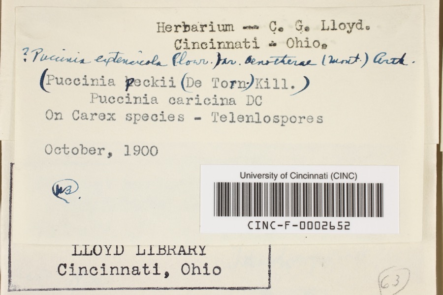
Specimens collected near this property
12 of 4,590 shown
Regional context, not property-specific
evidence. Museums hold 4,590 specimens
collected within 10 miles of Elliott House between 1827 and
1975: 3,144 Fungi, 786 Animalia, 317 Protozoa, 309 Plantae, 24 Unrecorded, 10 Chromista. 12 distinct Species records are shown.
Collected by 14753, A. Braun, A. Gaufin and others. Each is a
physical object with a catalogue
number, and each entry opens the museum's record. This is what was
collected and kept, not a survey of what lives here - nothing can be
concluded from a species being absent.
Regional context, not property-specific
evidence. The federal mineral resources record lists
2 workings within 5 miles of Elliott House: 1 past producer, 1 plant.
1 still produces. What was taken out: Sand and Gravel, Construction. Distance is straight-line from the
map coordinates, so a quarry counted here may appear on a neighbouring
settlement's page as well.
Regional context, not property-specific
evidence. The National Weather Service names
Remington, the town this property stands in, in 1 storm report between 2017 and 2017: 1 flash flood.
No death or injury is recorded in these reports. Each account below is quoted exactly as the forecast office
filed it, from the NOAA Storm Events Database, and each date
opens the federal record of that event.
No historic map-sheet match is published
for this property yet. That does not mean no map exists. This record needs
a coordinate-quality review before it can be joined to a sheet boundary.
Browse the county's mapped places while that work is
pending.
From the nomination file
3,708 words on record
When this property was proposed for the
National Register, someone wrote the case for it: what the building is,
and why it matters. That document is a federal record in the public domain.
It is quoted below word for word, never summarised. The text was read off the scanned case file by machine, so the
occasional stray character is the recogniser's and the 1970s
typewriter's.
Description of the property
the house, five windows on the second floor and four on the added to the rear of the house at right angles with the hand cut stone, but these walls are narrower, being approximate- 1y 18 inches thick. The wing was divided into four rooms The ceilings were lowered, plumbing and wiring added and other CONDITION Ruins modernizing alterations made. Sometime after ownership passed from the Elliotts to Camp Camp's guests and a kitchen were added to the first floor rear divided into four rooms with a central hall on the first floor reach the rear room.A window was placed in the east and west built along the eastern side of this wing.
first.An old photograph from l9ll shows these windows with stairwell leading to the second floor anda side hall running southwest side of the building.This addition was also of ing, but the west end had two windows on the first floor and were the partition walls in the eastern half of the original that it was necessary to walk through all of the rooms to The house is believed to have been built c.l800-02. The stairs in the original area of the house were removed, as The oldest part of the Elliott home consisted of a large (Check One) - Moved was also a basement. Each room contained a large, stone fire- on both floors. the length of the wing was constructed. by a small wooden porch. The roof of the house is gabled with house, creating one large room.
The small front porch was These rooms were placed one behind the other of the wing were turned into doors making the rooms accessible The eastern windows shutters.There were no windows on the east end of the build- the building.
hostile indians the Elliotts went down the Miami River and the property to H. S. Livingston and later in that same year leaving the interior hollow and measuring ll feet in diameter. lived in a huge sycamore tree whose interior had decayed, All on board were drowned except the two Elliott brothers, the Ohio and Mississippi Rivers to New Orleans where they were onto the rocks of Mahogany Bay, off the coast of New Jersey. Engineering job to find out what sort of place America was and report back is known that in l920 a family by the name of Sterrett sold Art Other (Specify) [i Education Ireland to America. His father, five sisters and two to his family. Within a year, he sent back word to Ireland for the United States in 1785 on a vessel called the Faithful Anecdotes Simon named Mary Lee.
When endangered by The products of their mills were sent down that they should follow him. and William joined their brother John in Pennsylvania. William Elliott Sycamore Creek was named after this tree. of Sycamore Creek.Until their log cabin was built, they Steward.Among the Elliott cousins was one beautiful girl He sailed on the ship Lazy Mary, was The captain of the ship became wildly infatuat- later settled in Illinois and died a bachelor. sold.John and Mary Elliott had six children:Simon, Elcy, for many years.Because of the courthouse fire in 1884,it is Simon and William who were able to_swim to shore. AREAs OF SIGNIFICANCE (Check One or More as Appropriate)
Quoted from the National Register nomination
for reference 76001451, 41 pages, held by the National Archives in Record
Group 79. See the
catalogue record.
Listed places nearby
6 within 8 miles
Other National Register properties close
enough to walk or drive between, ordered by distance from this one. Both
positions come from the same geocoding pass that matched these properties
to their map sheets.
Listing record. National Park Service National Register of Historic Places, listed-properties dataset, current to 2026-05-22.
Map join. Address geocoded through the United States Census geocoder, then tested against the published boundary of every sheet in the USGS Historical Topographic Map Collection.
How this page is made. Listing fields come from federal records; map-sheet coverage is a labelled coordinate-to-boundary calculation, not a source-field claim.
Specimens. Global Biodiversity Information Facility (GBIF), https://www.gbif.org/. Only records licensed CC0 or CC BY are used. Records licensed CC BY-NC are excluded because this site carries advertising. Images are checked individually and any whose licence is non-commercial, no-derivatives or unreadable is refused.
Mines and quarries. USGS Mineral Resources Data System (MRDS) https://mrdata.usgs.gov/mrds/ A work of the United States government, no copyright under 17 U.S.C. 105.
Storms. NOAA National Centers for Environmental Information, Storm Events Database https://www.ncei.noaa.gov/stormevents/ A work of the United States government, no copyright under 17 U.S.C. 105. Narratives are quoted verbatim from the National Weather Service report and are not edited or summarised.
 Block
Block