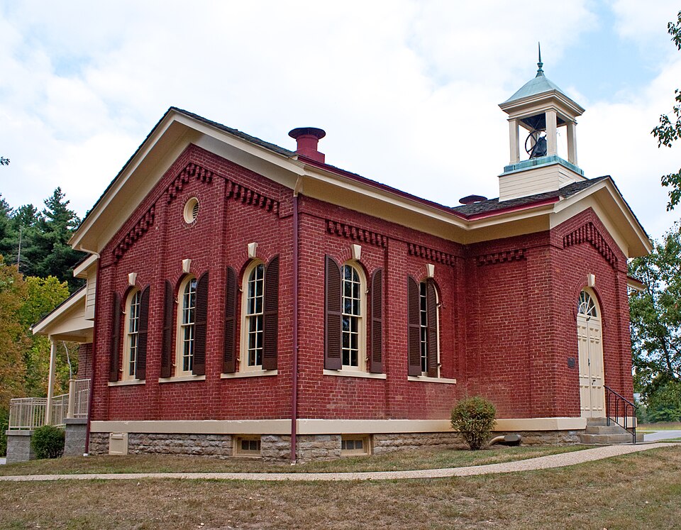
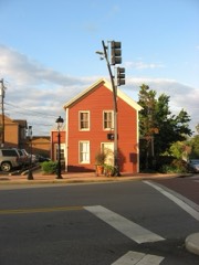
Listed on the National Register of Historic Places in
1975. A historic map-sheet match is not published yet. The record needs a coordinate-quality review before it can be joined to a sheet boundary.
From the record
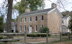
“Washington Heights School is a registered historic building in Indian Hill, Ohio, listed in the National Register on July 30, 1975.”
Wikipedia article Washington Heights School, CC BY-SA 4.0.
one of 314 National Register listings in Hamilton County · listed in 1975 · category: Building · one of 9 National Historic Landmarks in Hamilton County.
National Register reference number.75001430- the number the National Park Service assigned this property when it was listed, and the key its nomination file is catalogued under at the National Archives.
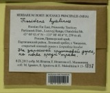
Specimens collected near this property
12 of 4,946 shown
Regional context, not property-specific
evidence. Museums hold 4,946 specimens
collected within 10 miles of Washington Heights School between 1827 and
1975: 3,320 Fungi, 889 Animalia, 376 Plantae, 326 Protozoa, 24 Unrecorded, 11 Chromista. 12 distinct Species records are shown.
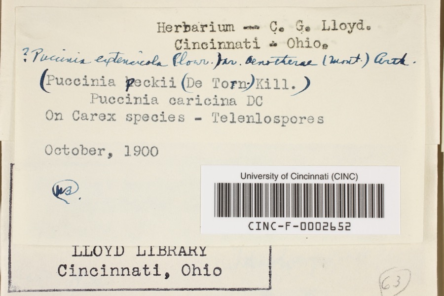
Collected by 14753, A. Braun, A. Gaufin and others. Each is a
physical object with a catalogue
number, and each entry opens the museum's record. This is what was
collected and kept, not a survey of what lives here - nothing can be
concluded from a species being absent.
Regional context, not property-specific
evidence. The federal mineral resources record lists
6 workings within 5 miles of Washington Heights School: 4 past producers, 1 producer, 1 plant.
2 still produce. What was taken out: Sand and Gravel, Construction. Distance is straight-line from the
map coordinates, so a quarry counted here may appear on a neighbouring
settlement's page as well.
No historic map-sheet match is published
for this property yet. That does not mean no map exists. This record needs
a coordinate-quality review before it can be joined to a sheet boundary.
Browse the county's mapped places while that work is
pending.
From the nomination file
2,032 words on record
When this property was proposed for the
National Register, someone wrote the case for it: what the building is,
and why it matters. That document is a federal record in the public domain.
It is quoted below word for word, never summarised. The text was read off the scanned case file by machine, so the
occasional stray character is the recogniser's and the 1970s
typewriter's.
Description of the property
The rear wall of the building had two doors leading to the with rounded arches across each end of the building and two was a double door type, hung flush with the front of the pro- A replica of the original door will be placed in the door's also be replaced and relocated with a more exact replica. The are broken at the top by the inset of a large stone keystone. Above the center window on either end of the building is a small was also used for the steps leading up to the front entrance. As a further decorative device the brickwork was raised away from the building between the windows and at the corners of the below the roof and above the windows, brick is again used of different depths of bricks, with the headers facing outwards. center of the roof is a small cupola which houses the bell.
The CONDITION The Washington Heights School was originally constructed as a brick is of the type known as common bond, but in its decorative one room brick building with stone foundation and basement and of a rectangular configuration with a projecting central bay above the door is similar to the original light, but this will building creating a simplified pilaster affect.This push and present cupola has a square base with four square columns at gabled with easy pitch and has been restored to its original ing rod.This cupola houses what is believed to be the original which formed a vestibule area on the front of the building.
windows of the same size and design on either side of the front round window and.here.the.bricks are again used to conform with X Excellent - Good - Fair - Deteriorated The original floorplan consisted entrance for a total of ten windows.
restoration, the building will function as a museum. A courthouse fire in 1910 destroyed the original records of the school and as a result the architect's name is-unknown. However, the quality of the brickwork and the structural soundness of the building, indicates that he was accomplished in the architecture of the building, it stands today as 1873 Conservation Commerce area.
Communications SIGNIFICANCE Military Architecture Landscape Industry Engineering Theater Transportation Aboriginal itarian Sculpture Agriculture Literature losophy Education Music Invention consisted of fifty-two students under their teacher Charles a unique example of early schoolhouse architecture in this Social/Human- This one room building was built to replace a log school on Washington School was one of the first three schools built to Religion/Phi 1935.In1942it became the offices of the Indian Hill Adm- From 1956 until 196l,the building served asa community serve the community of Indian Hill. Jefferson School built in 1851, followed by Franklin School lond leased from Aaron Bonnel for $1.00. The first class The building is now rented by in his field.
actually purchased by the Village of Indian Hill in 1949. Art for the Board of Education. The first school was Political year from the Village of Indian Hill.Upon completion of Ohio, 1962, pp. 77-80. S. B. Nelson, B. Nelson and Company, Publishers, Cincinnati,
Quoted from the National Register nomination
for reference 75001430, 11 pages, held by the National Archives in Record
Group 79. See the
catalogue record.
Listed places nearby
6 within 8 miles
Other National Register properties close
enough to walk or drive between, ordered by distance from this one. Both
positions come from the same geocoding pass that matched these properties
to their map sheets.
Listing record. National Park Service National Register of Historic Places, listed-properties dataset, current to 2026-05-22.
Map join. Address geocoded through the United States Census geocoder, then tested against the published boundary of every sheet in the USGS Historical Topographic Map Collection.
How this page is made. Listing fields come from federal records; map-sheet coverage is a labelled coordinate-to-boundary calculation, not a source-field claim.
Specimens. Global Biodiversity Information Facility (GBIF), https://www.gbif.org/. Only records licensed CC0 or CC BY are used. Records licensed CC BY-NC are excluded because this site carries advertising. Images are checked individually and any whose licence is non-commercial, no-derivatives or unreadable is refused.
Mines and quarries. USGS Mineral Resources Data System (MRDS) https://mrdata.usgs.gov/mrds/ A work of the United States government, no copyright under 17 U.S.C. 105.
 Block
Block