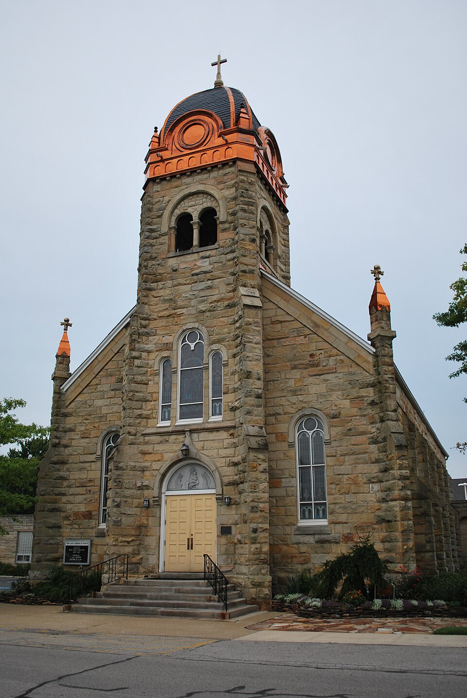
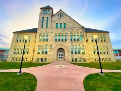
Built in 1864 in the Romanesque architecture. Listed on the National Register of Historic Places in
1976. A historic map-sheet match is not published yet. The record needs a coordinate-quality review before it can be joined to a sheet boundary.
From the record
“Immaculate Conception Church is a historic church at 708 Erie Street in Grafton, Ohio.”
Wikipedia article Immaculate Conception Church (Grafton, Ohio), CC BY-SA 4.0.
one of 113 National Register listings in Lorain County · listed in 1976 · category: Building · built in 1864, Romanesque architecture · one of 2 National Historic Landmarks in Lorain County.
National Register reference number.76001469- the number the National Park Service assigned this property when it was listed, and the key its nomination file is catalogued under at the National Archives.
Specimens collected near this property
12 of 1,338 shown
Regional context, not property-specific
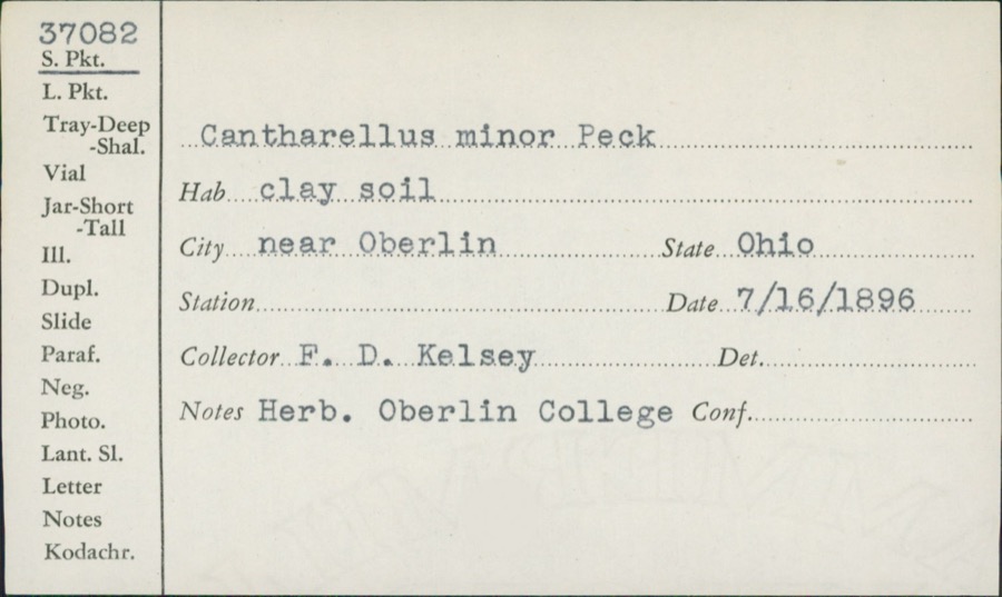
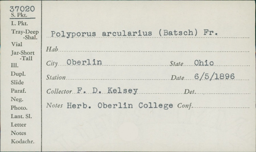
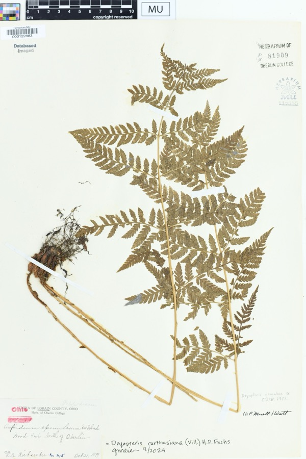
evidence. Museums hold 1,338 specimens
collected within 10 miles of Immaculate Conception Church between 1853 and
1975: 638 Animalia, 517 Fungi, 151 Plantae, 15 Protozoa, 13 Chromista, 4 Unrecorded. 12 distinct Species records are shown.
Collected by A. E. Recksecker, A. E. Ricksecker, A. M. Evans and others. Each is a
physical object with a catalogue
number, and each entry opens the museum's record. This is what was
collected and kept, not a survey of what lives here - nothing can be
concluded from a species being absent.
Regional context, not property-specific
evidence. The National Weather Service names
Grafton, the town this property stands in, in 27 storm reports between 1994 and 2026: 13 hail, 11 thunderstorm wind, 1 lightning, 1 funnel cloud.
The reports record 1 injury. Each account below is quoted exactly as the forecast office
filed it, from the NOAA Storm Events Database, and each date
opens the federal record of that event.
A tornado with estimated peak winds of 85 mph occurred about three-miles north of Lagrange. This tornado began behind a residence on OH Route 301, where it snapped the tops of several trees, removed the porch roof completely, and removed portions of the home's roof. As the tornado moved southeastward, it caused significant damage to over a dozen trees, including several mature maple trees. One of these trees fell onto a another home, punctured its roof in several places, and damaged multiple vehicles. The tornado crossed OH Route 301 and damaged additional trees before dissipating soon thereafter.
No historic map-sheet match is published
for this property yet. That does not mean no map exists. This record needs
a coordinate-quality review before it can be joined to a sheet boundary.
Browse the county's mapped places while that work is
pending.
From the nomination file
1,924 words on record
When this property was proposed for the
National Register, someone wrote the case for it: what the building is,
and why it matters. That document is a federal record in the public domain.
It is quoted below word for word, never summarised. The text was read off the scanned case file by machine, so the
occasional stray character is the recogniser's and the 1970s
typewriter's.
Description of the property
fee, with a single tower centrally placed on the end, the splayed tower buttresses, the prominent side buttresses and corner finials are all visible on the exterior, as it is contained within the last bay of the have been mounted along the side walls and in the apse. construction, with a hipped roof, a center gable dormer, and large DETERIORATED FAIR ceiling beams whose bottom profile is a flattened half-ellipse. They X_ORIGINAL SITE The walls are constructed of a slightly rusticated coursed ashlar. ambulatory is an arcade based on medieval cloisters. chancel is a semi-circular apse with a half-dome ceiling. It is not window alternating with attached buttresses.The roof is a steeply pitched Romanesque windows harmonizing with those of the church.The Romanesque details.
The windows contain their original nineteenth related to the Romanesque helmet-domed churches of the Perigord- icant Romanesque features.The basic mass, a rectangle 45 feet by 80 In 1909-1910 the rectory was erected to the east of the church Revival style.Although the essential form of the building is that ofa vestibule which occupies the first bay of the building.It seats approx- Angoumois region in southwestern France, as suggested in (8). imately 250 people.There is a gallery over the vestibule which extends The side elevations have six bays, each with a tall, slender round-headed gable. On the facade there is a cornerstone dated "1867". The tower characteristic of the common Early Gothic Revival church of the period.
were known abroad by the early 1860s, it is reasonable to infer that the If these conclusions are justified, then the design represents a 1500-1599 1864-1871 COMMERCE 1400-1499 INVENTION 1700-1799 ARCHEOLOGY-HISTORIC ART LAW PERIOD 1900- SIGNIFICANCE INDUSTRY THEATER BUILDER/ARCHITECT _EXPLORATION/SETTLEMENT MILITARY MUSIC _POLITICS/GOVERNMENT LITERATURE _TRANSPORTATION XARCHITECTURE This church is an unusually fine example of the Romanesque Revival ARCHEOLOGY-PREHISTORIC _CONSERVATION the immediately post-Civil War period. XRELIGION the oldest Catholic parish between Cleveland and Sandusky.
specific kind of eclectic attitude that is normally not found much Grafton).The parish was established in 1862,and the former frame _ENGINEERING _PHILOSOPHY _COMMUNICATIONS As the official definition of the doctrine of the Immaculate Concep- X1800-1899 before 1880,and it is significant that the building actually dates from style of architecture for its date and place.It is the second building of name of the church, and the choice of the domed regional variant of The origins of the parish were in the mission of St. John of the Roman. This idiom is in fact the most Roman of all the regional schools -1600-1699 Cross, founded in l840 at LaPorte in nearby Carlisle Township (about four miles north).
The opening of quarries and the construction of a was begun in 1864 and dedicated in 187l.It was completed at a cost of tion was promulgated in 1854,and the visions of Bernadette of Lourdes of the Romanesque style. $10,ooo.The old frame building continued to beused asa school. -SCIENCE the Romanesque style in southwestern France were influenced by those church building was moved to Grafton in 1863.The present stone structure railroad brought some thirty Catholic families to Rawsonville(now events.The description in the parish history refers to the style as
Quoted from the National Register nomination
for reference 76001469, 16 pages, held by the National Archives in Record
Group 79. See the
catalogue record.
Listed places nearby
6 within 8 miles
Other National Register properties close
enough to walk or drive between, ordered by distance from this one. Both
positions come from the same geocoding pass that matched these properties
to their map sheets.
Listing record. National Park Service National Register of Historic Places, listed-properties dataset, current to 2026-05-22.
Map join. Address geocoded through the United States Census geocoder, then tested against the published boundary of every sheet in the USGS Historical Topographic Map Collection.
How this page is made. Listing fields come from federal records; map-sheet coverage is a labelled coordinate-to-boundary calculation, not a source-field claim.
Specimens. Global Biodiversity Information Facility (GBIF), https://www.gbif.org/. Only records licensed CC0 or CC BY are used. Records licensed CC BY-NC are excluded because this site carries advertising. Images are checked individually and any whose licence is non-commercial, no-derivatives or unreadable is refused.
Storms. NOAA National Centers for Environmental Information, Storm Events Database https://www.ncei.noaa.gov/stormevents/ A work of the United States government, no copyright under 17 U.S.C. 105. Narratives are quoted verbatim from the National Weather Service report and are not edited or summarised.
 Block
Block