Listed on the National Register of Historic Places in
1976. A historic map-sheet match is not published yet. The record needs a coordinate-quality review before it can be joined to a sheet boundary.
From the record
one of 11 National Register listings in Perry County · listed in 1976 · category: Building.
National Register reference number.76001507- the number the National Park Service assigned this property when it was listed, and the key its nomination file is catalogued under at the National Archives.
Fires near this property
52 since 2006
Regional context, not property-specific
evidence. The
federal wildfire occurrence database
lists 52 fires within 5 miles of I.O. of R.M. Building between
2006 and 2020, burning about 56 acres in total. None started naturally. 6 were recorded as arson.
Distance is straight-line from the map coordinates, so a fire counted
here may appear on a neighbouring settlement's page as well.
Reported cause
Fires
Missing data/not specified/undetermined
17
Debris and open burning
13
Arson/incendiarism
6
Equipment and vehicle use
5
Other causes
4
Smoking
2
Misuse of fire by a minor
2
Recreation and ceremony
2
Fireworks
1
The most recent of
them, most recent first, with the day each was reported and the service
that recorded it.
Regional context, not property-specific
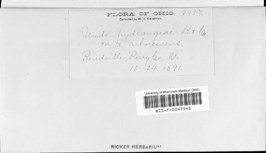
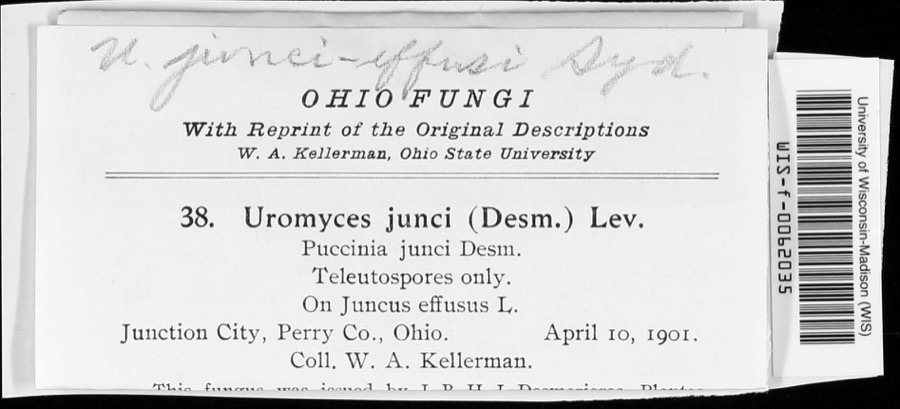
evidence. Museums hold 228 specimens
collected within 10 miles of I.O. of R.M. Building between 1890 and
1975: 178 Animalia, 25 Fungi, 18 Plantae, 5 Protozoa, 2 Unrecorded. 12 distinct Species records are shown.
Collected by Bergstrom, J., Buchanan, J., Coker W. C. and others. Each is a
physical object with a catalogue
number, and each entry opens the museum's record. This is what was
collected and kept, not a survey of what lives here - nothing can be
concluded from a species being absent.
Regional context, not property-specific
evidence. The federal mineral resources record lists
5 workings within 5 miles of I.O. of R.M. Building: 3 past producers, 2 producers.
2 still produce. What was taken out: Clay, Stone, Crushed/Broken. Distance is straight-line from the
map coordinates, so a quarry counted here may appear on a neighbouring
settlement's page as well.
Regional context, not property-specific
evidence. The National Weather Service names
Shawnee, the town this property stands in, in 18 storm reports between 1994 and 2026: 12 thunderstorm wind, 4 hail, 2 flash flood.
No death or injury is recorded in these reports. Each account below is quoted exactly as the forecast office
filed it, from the NOAA Storm Events Database, and each date
opens the federal record of that event.
Trees and power lines were downed in Shawnee onto State Route 37 and across the southern edge of the county. As a result, many households observed power outages.
No historic map-sheet match is published
for this property yet. That does not mean no map exists. This record needs
a coordinate-quality review before it can be joined to a sheet boundary.
Browse the county's mapped places while that work is
pending.
From the nomination file
3,649 words on record
When this property was proposed for the
National Register, someone wrote the case for it: what the building is,
and why it matters. That document is a federal record in the public domain.
It is quoted below word for word, never summarised. The text was read off the scanned case file by machine, so the
occasional stray character is the recogniser's and the 1970s
typewriter's.
Description of the property
people, the businesses and the coal are largely gone, yet Shawnee The town was founded late in the nineteenth century as a mining town. County was rich in coal, but when the ground has yielded its given :and the small businesses close their doors forever. Such is the case in Shawnee. It was founded in: 1872 and grew rapidly as "King Coal" boomed in Perry County. Some of the town was hastily built, but most of its buildings are substantial and not in a bad state commercial buildings, but the hallmark of Shawnee is the two-story frame commercial/residential buildings which line both sides of Main Street.
They generally have a false front, commercial fronts on the first floor, have a wooden porch across the entire front, supported by wooden or other businesses have closed as well, and Shawnee seems simply to be representative buildings. Properties excluded from the district are IOOF Building is substantially built, with considerable detail work done front on the first floor and the I00F hall on the second. The commercial front, now empty, is off-center to accommodate a stairway to the second The door is deeply recessed between the windows. An entablature continues. UNEXPOSED CONDITION DATE EXCELLENT DETERIORATED DESCRIPTION UNALTERED MOVED XFAIR windows.The cornice is equally ornate.It is formed of sheet metal and see continuation sheet contribute to the district's unity.
consisting of a blank frieze, dentils and a projecting cornice separates waiting for something to happen. At that time even within the city limits were active coal mines. Perry CHECK ONE in specially-made brick.The building is of brick and has a commercial Following are some of the outstanding buildings: Shawnee is in suspended animation.Time here truly has stood still, but the first-floor storefronts have long been empty.
Hazard Perry. The town of Shawnee was laid out by T.J. Davis in 1872 and is named for Shawnee Creek along which it is situated: By 1880Shawnee had a population of 2800 andby 1883 had a post office, two hotels, a large schoolhouse, five churches, a newspaper, a railroad gone, and the village has a population of 914. Its future is tenuous. one of them can be classified in a particular architectural style, but extravagant, eclectic and unpredictable.
Shawnee is Ohio's best example Its significance is industrial as well, for Shawnee represents one facet of the coal mining industry, and coal has been of major importance to Ohio requires a much larger labor force, hence the development of population 1400-1499 1700-1799 1500-1599 X1800-1899 COMMUNICATIONS ARCHEOLOGY-HISTORIC PREHISTORIC SCIENCE ENGINEERING THEATER EDUCATION BUILDER/ARCHITECT ART COMMERCE PERIOD investigated. AGRICULTURE POLITICS/GOVERNMENT XARCHITECTURE LITERATURE XINDUSTRY _EXPLORATION/SETTLEMENT SIGNIFICANCE nominating them to the National Register as a thematic district is being INVENTION _TRANSPORTATION _PHILOSOPHY centers such as Shawnee. that seems to be the nature of boom town architecture:it is the late nineteenth century.
-1600-1699 mining; the town predates widespread strip mining.Deep shaft mining none of its late nineteenth century buildings have been demolished.Not for over a hundred years.Shawnee grew and prdpered because of deep shaft -SOCIAL/HUMANITARIAN Shawnee was founded just at the time the coal hills of southeastern Ohio _RELIGION were extended to the coal fields. Today the deep shaft mining is gone and only a small amount of strip Perry County was formed on March 1,18l7,from parts of Washington, Muskingum -MILITARY - MUSIC - 1900- -LAW _COMMUNITY PLANNING transportation in the region. Columbus, about 40 miles to the northwest, station, a telegraph office and several large stores.
Quoted from the National Register nomination
for reference 76001507, 36 pages, held by the National Archives in Record
Group 79. See the
catalogue record.
Listed places nearby
2 within 8 miles
Other National Register properties close
enough to walk or drive between, ordered by distance from this one. Both
positions come from the same geocoding pass that matched these properties
to their map sheets.
Listing record. National Park Service National Register of Historic Places, listed-properties dataset, current to 2026-05-22.
Map join. Address geocoded through the United States Census geocoder, then tested against the published boundary of every sheet in the USGS Historical Topographic Map Collection.
How this page is made. Listing fields come from federal records; map-sheet coverage is a labelled coordinate-to-boundary calculation, not a source-field claim.
Wildfire. Short, Karen C. 2022. Spatial wildfire occurrence data for the United States, 1992-2020 [FPA_FOD_20221014]. 6th Edition. Fort Collins, CO: Forest Service Research Data Archive. https://doi.org/10.2737/RDS-2013-0009.6 Collected with United States Government funding and usable without additional permissions or fees.
Specimens. Global Biodiversity Information Facility (GBIF), https://www.gbif.org/. Only records licensed CC0 or CC BY are used. Records licensed CC BY-NC are excluded because this site carries advertising. Images are checked individually and any whose licence is non-commercial, no-derivatives or unreadable is refused.
Mines and quarries. USGS Mineral Resources Data System (MRDS) https://mrdata.usgs.gov/mrds/ A work of the United States government, no copyright under 17 U.S.C. 105.
Storms. NOAA National Centers for Environmental Information, Storm Events Database https://www.ncei.noaa.gov/stormevents/ A work of the United States government, no copyright under 17 U.S.C. 105. Narratives are quoted verbatim from the National Weather Service report and are not edited or summarised.
 Block
Block