Listed on the National Register of Historic Places in
1981. A historic map-sheet match is not published yet. The record needs a coordinate-quality review before it can be joined to a sheet boundary.
From the record
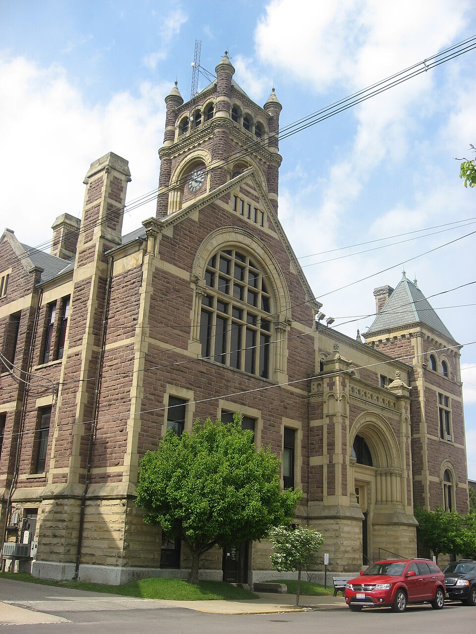
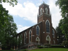
“The Perry County Courthouse is a historic government building in the city of New Lexington, Ohio, United States. Built near the end of the nineteenth century after the end of a county seat war, it is the fifth courthouse to serve Perry County, and it has been named a historic site because of its imposing architecture.”
Wikipedia article Perry County Courthouse (Ohio), CC BY-SA 4.0.
one of 11 National Register listings in Perry County · listed in 1981 · category: Building.
National Register reference number.81000449- the number the National Park Service assigned this property when it was listed, and the key its nomination file is catalogued under at the National Archives.
The ground it stands on
16,644 words
The chapter on Pike Township in 1883 History Perry County, Ohio, published 1883 names New Lexington. This is what it says, exactly as the scans read.
ScHoois. - The first schools were very primitive, and, as a general thing, if not in all cases, held in old cabins that had been built for and used as dwellings. The first school appears to have been taught within the present limits of New Lexington, about 1815. The teacher was Jonathan Sturgeon, an Irishman. The school was taught in an old cabin that had formerly been used as a dwelling, and stood within a rod or two of the spring that is now enclosed in Andrew Stocklein's front yard, on Brown street. The floor was made of unhewn puncheons, and to make it a little even, the low places and depressions were filled up with earth. School was taught in this disagreeable place for three years. One teacher taught there, who had a wooden leg, (not Sturgeon) and
About 1830, the township was districted, for school purposes, very much as it is at the present time. There was the Selby district, the New Lexington district, and the Vansickle district in the northern row. Then the David Brown district,. the Clayton (Deaver) and the Skinner (Vanatta) districts. Then there was the Bristol and other districts, on the south side of the township, These have been somewhat changed. The location of the school heuses has been changed, as a general thing, while some remain where they were fifty years ago. All the old log school houses are gone, and some of the districts have built their third school house. The New Lexington district has done this, but no more than this.
Regional context, not property-specific
evidence. The
federal wildfire occurrence database
lists 25 fires within 5 miles of Perry County Courthouse and Jail between
2013 and 2020, burning about 62 acres in total. None started naturally. 2 were recorded as arson.
Distance is straight-line from the map coordinates, so a fire counted
here may appear on a neighbouring settlement's page as well.
Reported cause
Fires
Debris and open burning
17
Missing data/not specified/undetermined
4
Arson/incendiarism
2
Equipment and vehicle use
1
Smoking
1
The most recent of
them, most recent first, with the day each was reported and the service
that recorded it.
Regional context, not property-specific
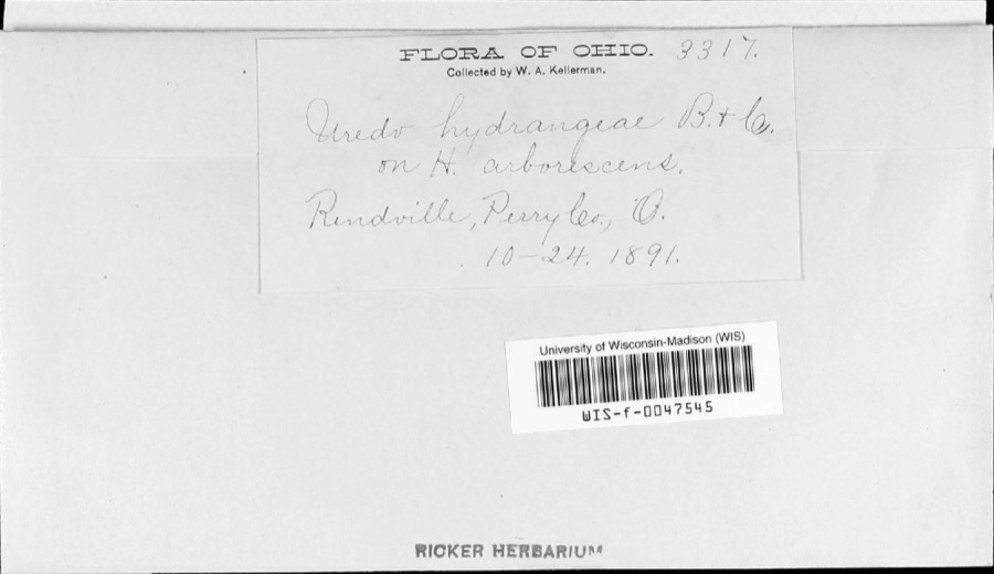
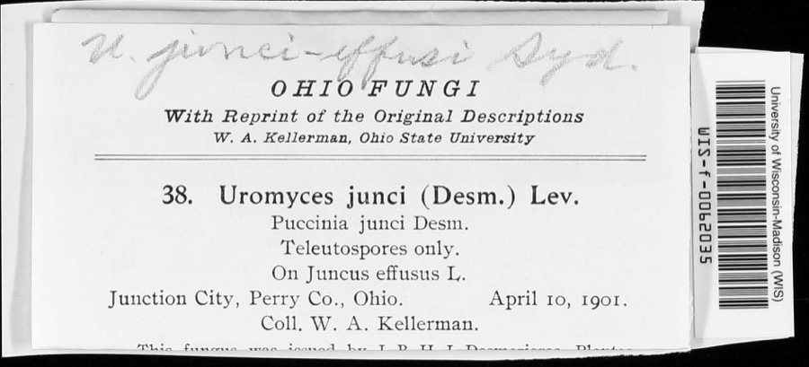
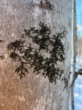
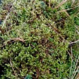
evidence. Museums hold 205 specimens
collected within 10 miles of Perry County Courthouse and Jail between 1890 and
1975: 157 Animalia, 23 Fungi, 18 Plantae, 5 Protozoa, 2 Unrecorded. 12 distinct Species records are shown.
Collected by Bergstrom, J., Buchanan, J., Buker, W.E. and others. Each is a
physical object with a catalogue
number, and each entry opens the museum's record. This is what was
collected and kept, not a survey of what lives here - nothing can be
concluded from a species being absent.
Regional context, not property-specific
evidence. The federal mineral resources record lists
4 workings within 5 miles of Perry County Courthouse and Jail: 3 past producers, 1 producer.
1 still produces. What was taken out: Clay, Clay, Coal. Distance is straight-line from the
map coordinates, so a quarry counted here may appear on a neighbouring
settlement's page as well.
Regional context, not property-specific
evidence. The National Weather Service names
New Lexington, the town this property stands in, in 37 storm reports between 1995 and 2025: 31 thunderstorm wind, 5 hail, 1 flash flood.
No death or injury is recorded in these reports. Each account below is quoted exactly as the forecast office
filed it, from the NOAA Storm Events Database, and each date
opens the federal record of that event.
A 10 foot section of roof was blown off a nursing home. Some shingles were damaged on nearby homes. A few trees were also uprooted. A garage door was buckled in by the wind.
A few downed trees in the New Lexington area fell onto local homes. Substantial power outages were observed in the county as a result of downed trees and power lines.
The second round of convection brought some additional flooding. Some evacuations were being attempted along the headwaters of Moxhhala Creek along Biddison Road.
No historic map-sheet match is published
for this property yet. That does not mean no map exists. This record needs
a coordinate-quality review before it can be joined to a sheet boundary.
Browse the county's mapped places while that work is
pending.
From the nomination file
1,530 words on record
When this property was proposed for the
National Register, someone wrote the case for it: what the building is,
and why it matters. That document is a federal record in the public domain.
It is quoted below word for word, never summarised. The text was read off the scanned case file by machine, so the
occasional stray character is the recogniser's and the 1970s
typewriter's.
Description of the property
are set in pairs and are segmental-rached; those on the second story are set in groups of it.The building has a gable roof with a short parapet.Gable-end chimneys are paneled with a smooth-dressed water table.Some corners are articulated by light-colored stone The Perry County Court House is a massive stone structure, three stories in height, are laid in regular ashlar bonds;those on the main portion of the building in random and features corner tourel:les and an.arcaded belfry at the highest level.Typical of ashlar.The foundation rises toa height just below the first story windowsand is capped dominated bya40',2-stage,clock tower which rises from the center.of the l), and is reached by a stone stair which rises from the street level to a round X altered Richardsonian Romanesque architecture, the building is built of rock-faced stone, trimmed in lighter colored stone, resulting in a polychrome effect overall.
Foundation stones secondary entry to the building (Photo 2) is located on the Brown Street elevation, and is A restrained entry is shielded by a projecting bay with a round arch, similar to the Court bears the inscription, "County Jail." (see Photo 3) On the facade, the first story windows- built directly behind the Court House, with only an alley separating the two structures. n the pediment.:Aisquare tower rises above the roof line at each corner of the facade.The Areas of Significance - Check and justify below - prehistoric - community planning - landscape architecture _ religion - archeology-historic _ conservation . science _ literature - sculpture _ architecture .social/ - art .
music X 1800-1899 - philosophy _theater _ communications X politics/government .transportation Builder/Architect J. W. Yost, architect Hibbert & Schaus, builders Statement of
Statement of significance
(in one paragraph) to the public life of this county, as the seat of Perry County's political existence, and, in the case of the Court House, an outstanding example of Richardsonian Romanesque architecture, particularly considering the rural setting. Additional significance is Originalily,«Somerset (viz. Somerset Historic Distnict, N.R., 9-5-75) was the seat of Perry were solicited, and in 1886 the present buildings were begun,to be completed the following year.
Since that time, they have continuously served the people of this small, rural Ohio work included residences, public and institufonal buildings, commercial structures, and no 1500-1599 1700-1799 1600-1699 commerce 1400-1499 economics humanitarian education industry engineering archeology-prehistoric invention agriculture Period exploration/settlement 1900- law Specific dates 8. Significance other (specify) The Perry County Court House and Jail are nominated for their nearly 1oo-year significance an indelible mark on the architecture of Ohio and the Midwest during his career.His derived from the fact that the buildings were designed by a leading architect of the day. military less than eight other Ohio court houses.
Quoted from the National Register nomination
for reference 81000449, 12 pages, held by the National Archives in Record
Group 79. See the
catalogue record.
Listed places nearby
4 within 8 miles
Other National Register properties close
enough to walk or drive between, ordered by distance from this one. Both
positions come from the same geocoding pass that matched these properties
to their map sheets.
Listing record. National Park Service National Register of Historic Places, listed-properties dataset, current to 2026-05-22.
Map join. Address geocoded through the United States Census geocoder, then tested against the published boundary of every sheet in the USGS Historical Topographic Map Collection.
How this page is made. Listing fields come from federal records; map-sheet coverage is a labelled coordinate-to-boundary calculation, not a source-field claim.
Wildfire. Short, Karen C. 2022. Spatial wildfire occurrence data for the United States, 1992-2020 [FPA_FOD_20221014]. 6th Edition. Fort Collins, CO: Forest Service Research Data Archive. https://doi.org/10.2737/RDS-2013-0009.6 Collected with United States Government funding and usable without additional permissions or fees.
Specimens. Global Biodiversity Information Facility (GBIF), https://www.gbif.org/. Only records licensed CC0 or CC BY are used. Records licensed CC BY-NC are excluded because this site carries advertising. Images are checked individually and any whose licence is non-commercial, no-derivatives or unreadable is refused.
Mines and quarries. USGS Mineral Resources Data System (MRDS) https://mrdata.usgs.gov/mrds/ A work of the United States government, no copyright under 17 U.S.C. 105.
Storms. NOAA National Centers for Environmental Information, Storm Events Database https://www.ncei.noaa.gov/stormevents/ A work of the United States government, no copyright under 17 U.S.C. 105. Narratives are quoted verbatim from the National Weather Service report and are not edited or summarised.
 Block
Block