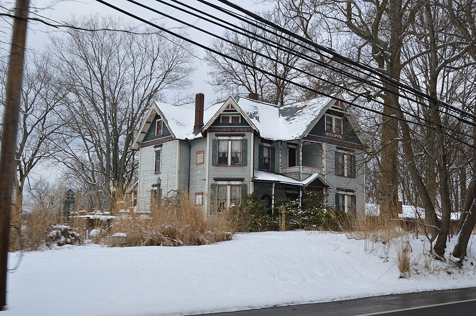
Listed on the National Register of Historic Places in
1976. A historic map-sheet match is not published yet. The record needs a coordinate-quality review before it can be joined to a sheet boundary.
From the record
one of 137 National Register listings in Summit County · listed in 1976 · category: Building · one of 1 National Historic Landmarks in Summit County.
National Register reference number.76001534- the number the National Park Service assigned this property when it was listed, and the key its nomination file is catalogued under at the National Archives.
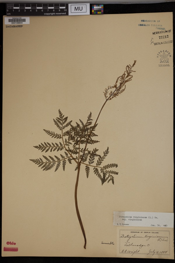
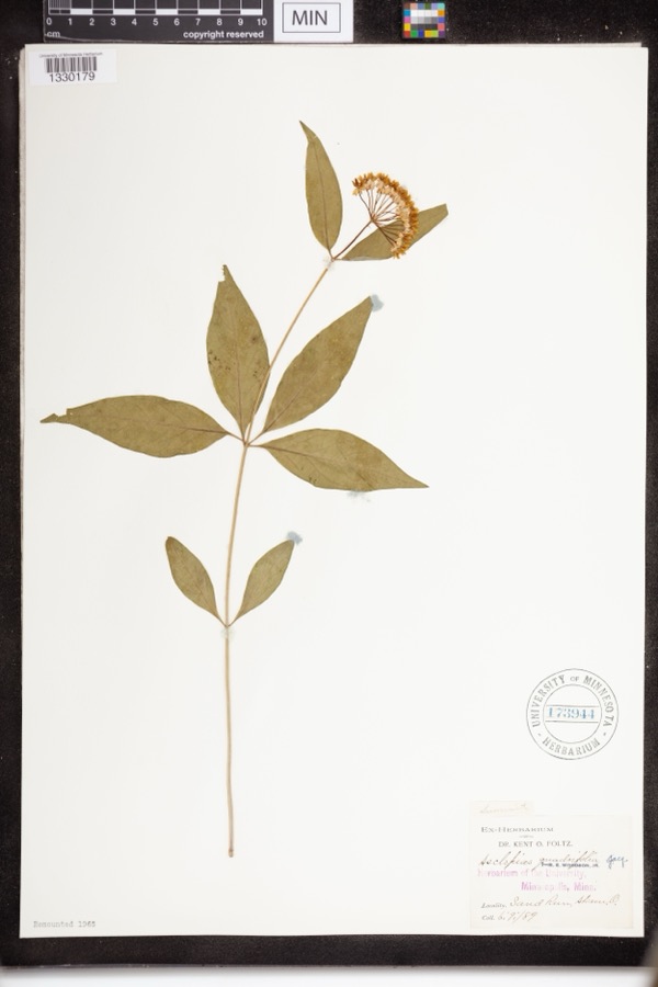
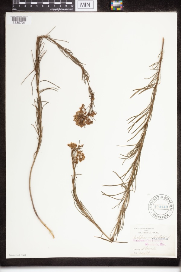
Specimens collected near this property
12 of 785 shown
Regional context, not property-specific
evidence. Museums hold 785 specimens
collected within 10 miles of Thornton-Guise Kitchen And House between 1867 and
1975: 674 Animalia, 63 Plantae, 47 Fungi, 1 Unrecorded. 12 distinct Species records are shown.
Collected by (no collector listed), A. Black, A. Woolman and others. Each is a
physical object with a catalogue
number, and each entry opens the museum's record. This is what was
collected and kept, not a survey of what lives here - nothing can be
concluded from a species being absent.
Regional context, not property-specific
evidence. The federal mineral resources record lists
13 workings within 5 miles of Thornton-Guise Kitchen And House: 10 past producers, 3 producers.
3 still produce. What was taken out: Sand and Gravel, Construction. Distance is straight-line from the
map coordinates, so a quarry counted here may appear on a neighbouring
settlement's page as well.
Regional context, not property-specific
evidence. The National Weather Service names
Munroe Falls, the town this property stands in, in 7 storm reports between 2004 and 2024: 3 hail, 3 thunderstorm wind, 1 flash flood.
No death or injury is recorded in these reports. Each account below is quoted exactly as the forecast office
filed it, from the NOAA Storm Events Database, and each date
opens the federal record of that event.
Heavy rain fell between Munroe Falls and Akron Ohio on the evening of May 12th. In Akron 70 homes sustained basement flooding along with the Summit County Public Health Center. In Munroe Falls there was approximately $250,000-300,000 in damages to city property. Numerous homes had sewer backup of 6 to 7 feet in basements. On Lindsey Road a house lost its foundation. A family was rescued from their home when flooded on Hiwood Road. Numerous water rescues were conducted in both Munroe Falls and Akron between 1030 pm and midnight.
No historic map-sheet match is published
for this property yet. That does not mean no map exists. This record needs
a coordinate-quality review before it can be joined to a sheet boundary.
Browse the county's mapped places while that work is
pending.
From the nomination file
1,926 words on record
When this property was proposed for the
National Register, someone wrote the case for it: what the building is,
and why it matters. That document is a federal record in the public domain.
It is quoted below word for word, never summarised. The text was read off the scanned case file by machine, so the
occasional stray character is the recogniser's and the 1970s
typewriter's.
Description of the property
imately 18 feet by 22 feet, constructed of random rubble. There is - CONDITION DETERIORATED DATE UNEXPOSED detail. RUINS UNALTERED GOOD FAIR single-story stone building and the other a two-and-a-half story painted imitation marble characteristic of the style.The entrance plan.The basic rectangular form runs north and south.There are small ells projecting to the west and east. The latter one embraces hall has an excellent late Victorian staircase. The only significant porch. The porches have spindle and jigsaw ornament in the Eastlake The interior is very well preserved and maintained.The woodwork into one large modern kitchen area.
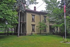
The most unusual feature is a square rectangular bay which projects The residence is a large frame structure with an irregular alteration has been the combining of the original kitchen and pantry XORIGINAL SITE design and is intact in every room.There are two mantelpieces of or kettle.There are only a few light ceiling joists, and the room The gable roof is covered with shingles.The building stands ona structure to the west of the house. It is a rectangular block approx- CHECK ONE hearth at the west end.On its north side there is a bake oven in the wall.On its south side there is a large masonry base for a basin part.of a veranda and a two-story porch.The roofs are steep gables.
This is a group of two buildings on the same property, one a a doorway in the center of the east end and a window in the center of slight rise so that the west wall is taller than the east one.Inside, there is a wooden floor.The predominant feature is a great fireplace - MOVED is open up to the roof.
Little is known of him, but he is presumed to be the builder of house in 1884. The stone building continued in use, either as a 1884 1700-1799 ARCHEOLOGY-HISTORIC INVENTION RELIGION ually. AGRICULTURE TRANSPORTATION SIGNIFICANCE ART PERIOD POLITICS/GOVERNMENT PHILOSOPHY THEATER 1500-1599 INDUSTRY SCIENCE MILITARY XARCHITECTURE BUILDER/ARCHITECT _EXPLORATION/SETTLEMENT LITERATURE the stone building.Whether it was an outbuilding for an earlier _COMMERCE Guise was born in Summit County in 1849,his father having arrived in history, style and construction, and which symbolize a continuity he received ll7 acres from Samuel Thornton.Guise built the existing summer kitchen, or as local oral tradition suggests, for slaughtering. The original owner of the property was Samuel Thornton.
In l87l Cornelius Guise married Viana, the daughter of Thornton. _ENGINEERING - COMMUNICATIONS there in 1835. He attended high school in Akron.After his marriage, -1600-1699 _EDUCATION -CONSERVATION X1800-1899 -1400-1499 - ECONOMICS - 1900- - LAW XSOCIAL/HUMANITARIAN This is a group of two buildings which complement one another Together they are more significant than either one would be individ- residence or whether it actually served as a dwelling is not known. in family and local history that is rarely shown in just this way.
Quoted from the National Register nomination
for reference 76001534, 16 pages, held by the National Archives in Record
Group 79. See the
catalogue record.
Listed places nearby
6 within 8 miles
Other National Register properties close
enough to walk or drive between, ordered by distance from this one. Both
positions come from the same geocoding pass that matched these properties
to their map sheets.
Listing record. National Park Service National Register of Historic Places, listed-properties dataset, current to 2026-05-22.
Map join. Address geocoded through the United States Census geocoder, then tested against the published boundary of every sheet in the USGS Historical Topographic Map Collection.
How this page is made. Listing fields come from federal records; map-sheet coverage is a labelled coordinate-to-boundary calculation, not a source-field claim.
Specimens. Global Biodiversity Information Facility (GBIF), https://www.gbif.org/. Only records licensed CC0 or CC BY are used. Records licensed CC BY-NC are excluded because this site carries advertising. Images are checked individually and any whose licence is non-commercial, no-derivatives or unreadable is refused.
Mines and quarries. USGS Mineral Resources Data System (MRDS) https://mrdata.usgs.gov/mrds/ A work of the United States government, no copyright under 17 U.S.C. 105.
Storms. NOAA National Centers for Environmental Information, Storm Events Database https://www.ncei.noaa.gov/stormevents/ A work of the United States government, no copyright under 17 U.S.C. 105. Narratives are quoted verbatim from the National Weather Service report and are not edited or summarised.
 Block
Block