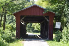
Listed on the National Register of Historic Places in
1977. A historic map-sheet match is not published yet. The record needs a coordinate-quality review before it can be joined to a sheet boundary.
From the record
one of 10 National Register listings in Jackson County · listed in 1977 · category: Building.
National Register reference number.77001069- the number the National Park Service assigned this property when it was listed, and the key its nomination file is catalogued under at the National Archives.
Regional context, not property-specific
evidence. The
federal wildfire occurrence database
lists 35 fires within 5 miles of Miner's Supply Store between
2006 and 2019, burning about 156 acres in total. None started naturally. 4 were recorded as arson.
Distance is straight-line from the map coordinates, so a fire counted
here may appear on a neighbouring settlement's page as well.
Reported cause
Fires
Debris and open burning
22
Missing data/not specified/undetermined
6
Arson/incendiarism
4
Equipment and vehicle use
2
Fireworks
1
The most recent of
them, most recent first, with the day each was reported and the service
that recorded it.
Regional context, not property-specific
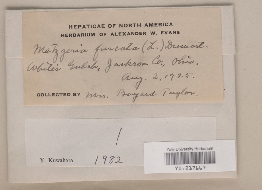
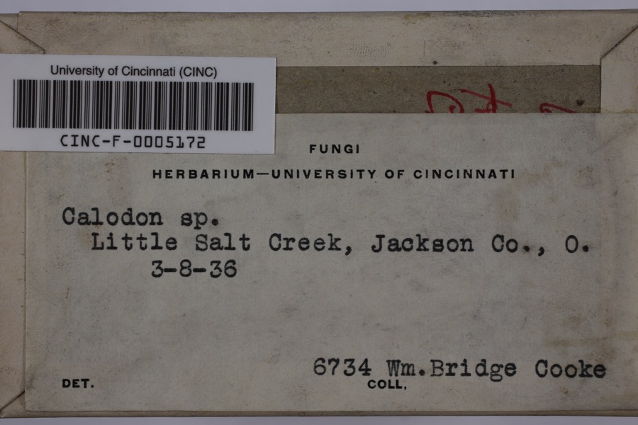
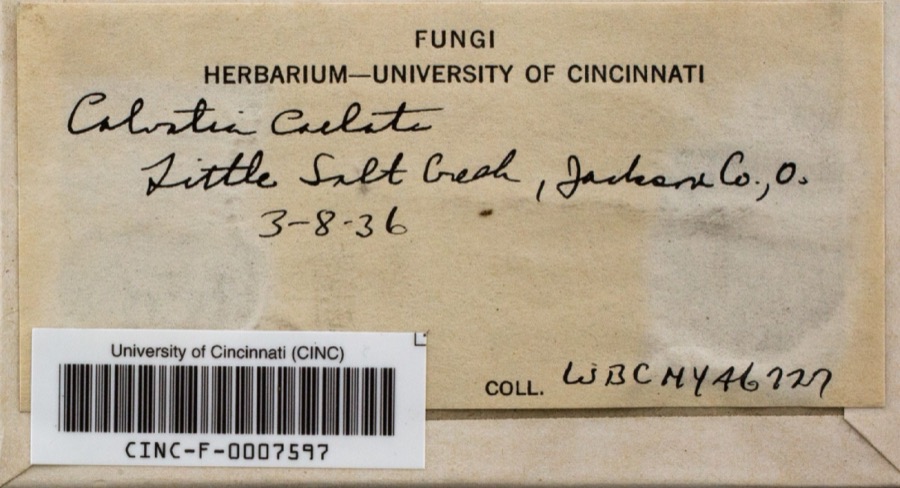
evidence. Museums hold 1,303 specimens
collected within 10 miles of Miner's Supply Store between 1878 and
1975: 648 Animalia, 590 Plantae, 60 Fungi, 3 Unrecorded, 2 Protozoa. 12 distinct Species records are shown.
Collected by 'Odell, D., A. Cronquist, A. M. Evans and others. Each is a
physical object with a catalogue
number, and each entry opens the museum's record. This is what was
collected and kept, not a survey of what lives here - nothing can be
concluded from a species being absent.
Regional context, not property-specific
evidence. The federal mineral resources record lists
4 workings within 5 miles of Miner's Supply Store: 2 past producers, 1 unknown, 1 producer.
1 still produces. What was taken out: Fire Clay (Refractory), Chromium, Stone, Crushed/Broken. Distance is straight-line from the
map coordinates, so a quarry counted here may appear on a neighbouring
settlement's page as well.
Regional context, not property-specific
evidence. The National Weather Service names
Coalton, the town this property stands in, in 9 storm reports between 1997 and 2025: 4 thunderstorm wind, 3 hail, 1 flash flood, 1 flood.
No death or injury is recorded in these reports. Each account below is quoted exactly as the forecast office
filed it, from the NOAA Storm Events Database, and each date
opens the federal record of that event.
The heaviest rain fell to the northeast through southeast of the community of Jackson. Roads were closed due to flooding, including Routes 32, 788 and 93.
Numerous roads were closed due to high water. This included Main Street in Jackson. C H and D Road, Route 2 and Route 233 were closed east of Oak Hill. Mulga Road was closed near Wellston. Also, Pigeon Creek flooded in Coalton.
No historic map-sheet match is published
for this property yet. That does not mean no map exists. This record needs
a coordinate-quality review before it can be joined to a sheet boundary.
Browse the county's mapped places while that work is
pending.
From the nomination file
1,792 words on record
When this property was proposed for the
National Register, someone wrote the case for it: what the building is,
and why it matters. That document is a federal record in the public domain.
It is quoted below word for word, never summarised. The text was read off the scanned case file by machine, so the
occasional stray character is the recogniser's and the 1970s
typewriter's.
Description of the property
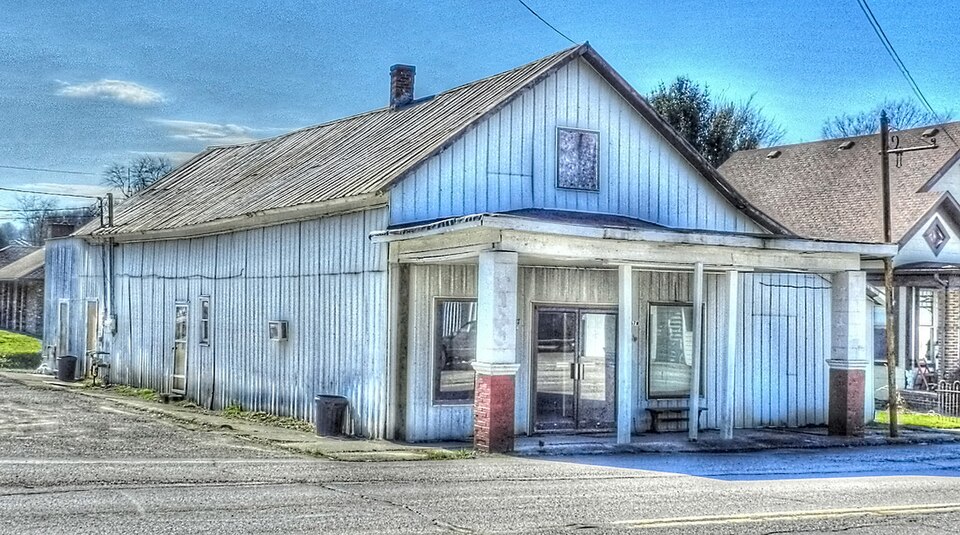
The Wood Hardware Store, now vacant, has approximate dimensions of twenty rear addition approximately ten by fifteen feet, has & double door entrance Supply Store. CONDITION storage area. DETERIORATED UNALTERED The roof verges and eaves project with no rafters exposed.The exterior EXCELLENT concrete block and the pedestalsare constructed of brick.A one story store building is metal with the gable end at the facade. bracketed shelving and bins with flat top arched openings.
large store front windows with two lights over two.The west extension The interior retains its l9th Century appointments with such features as rests upon a frame and pillared brick foundation.The gabled roof of the - UNEXPOSED Western corner has been covered with beveled siding with the original With two lights over two.It has a plain wooden surround and is surmounted corner.In the half story facade gable end is a rectangular double window to the rear.The building,,constructed of frame with beveled of the building is relatively devoid of ornamentation.
CHECK ONE hook, original to the building, which was used to lift goods up to the Additions:A one story open facade porch which runs the width of the also has a facade store window with two lights over two at the northwestern side which does not appear in the pre 1895 photograph of the Miner's block with a west extension half the width of the main block.
ville on the line of the Ohio Southern Railroad, being constructed to serve Dartmouth graduate, John H. Patterson (1844-1922), a local coal merchant and such as sales conventions, continuing maintenance service, closed sales 1600-1699 XARCHITECTURE ECONOMICS TRANSPORTATION THEATER XINVENTION SIGNIFICANCE BUILDER/ARCHITECT ARCHEOLOGY-HISTORIC ART COMMUNICATIONS EDUCATION XCOMMERCE EXPLORATION/SETTLEMENT CONSERVATION LAW PHILOSOPHY MILITARY SCULPTURE PERIOD _POLITICS/GOVERNMENT XINDUSTRY develop the machine further.Patterson implemented new sales techmiques and sales techniques. SOCIAL/HUMANITARIAN welfare systems for his employees.
ward with a career as President and owner of the National Cash Register territories and schools for salesmen.He also pioneered in industrial remarking to his partner,"What is a good thing for.this little store is a LIJERATURE -1400-1499 _1700-1799 of the earlier buildings in Coalton which was platted in l877 as Eureka- The Wood Hardware building isa tangible reminder of Patterson's Coalton - ENGINEERING -RELIGION -SCIENCE - 1900- - MUSIC - 1500-1599 effort to stop operating losses, Patterson became one of the first purchasers drawers and operated by simple punches in a paper roll. Patterson's business began to show a profit and he foresaw great economic utility and potential, took out several patents in his own name.
experlence which resulted in the revolution1zing of commercial transactions area coal mines.Eurekaville became at once one of the most important mine owner, operated the Miner's Supply Company in the building in connection changed hands four times. Patterson removed to Dayton, Ohio, and went for- AGRICULTURE PREHISTORIC Company.He personally developed improvements in the cash register and He hired mechanical experts to with his coal mine.The store operated asa general store which sold goods lot forty eight(upon which it stands) by the Patterson family. It is one the sale of $150,000 worth of goods, the store had a $3,000loss.In an Scribner's Sons, New York: 1934, pp. 304-305.
Quoted from the National Register nomination
for reference 77001069, 18 pages, held by the National Archives in Record
Group 79. See the
catalogue record.
Listed places nearby
5 within 8 miles
Other National Register properties close
enough to walk or drive between, ordered by distance from this one. Both
positions come from the same geocoding pass that matched these properties
to their map sheets.
Listing record. National Park Service National Register of Historic Places, listed-properties dataset, current to 2026-05-22.
Map join. Address geocoded through the United States Census geocoder, then tested against the published boundary of every sheet in the USGS Historical Topographic Map Collection.
How this page is made. Listing fields come from federal records; map-sheet coverage is a labelled coordinate-to-boundary calculation, not a source-field claim.
Wildfire. Short, Karen C. 2022. Spatial wildfire occurrence data for the United States, 1992-2020 [FPA_FOD_20221014]. 6th Edition. Fort Collins, CO: Forest Service Research Data Archive. https://doi.org/10.2737/RDS-2013-0009.6 Collected with United States Government funding and usable without additional permissions or fees.
Specimens. Global Biodiversity Information Facility (GBIF), https://www.gbif.org/. Only records licensed CC0 or CC BY are used. Records licensed CC BY-NC are excluded because this site carries advertising. Images are checked individually and any whose licence is non-commercial, no-derivatives or unreadable is refused.
Mines and quarries. USGS Mineral Resources Data System (MRDS) https://mrdata.usgs.gov/mrds/ A work of the United States government, no copyright under 17 U.S.C. 105.
Storms. NOAA National Centers for Environmental Information, Storm Events Database https://www.ncei.noaa.gov/stormevents/ A work of the United States government, no copyright under 17 U.S.C. 105. Narratives are quoted verbatim from the National Weather Service report and are not edited or summarised.
 Block
Block