Listed on the National Register of Historic Places in
1985. A historic map-sheet match is not published yet. The record needs a coordinate-quality review before it can be joined to a sheet boundary.
From the record
“Many have wondered how the huge wallows were formed. By this operation, which is done perhaps in the space of half an hour, a circular excavation of fifteen or twenty feet in diameter, and two feet in depth, is completed and left for the water to run into, which soon fills it to the level of the ground.”
A History of Jackson County, Ohio (1900). Machine-read text.
one of 10 National Register listings in Jackson County · listed in 1985 · category: Building.
National Register reference number.85003045- the number the National Park Service assigned this property when it was listed, and the key its nomination file is catalogued under at the National Archives.
The ground it stands on
286,766 words
The chapter on Jackson Township in A History of Jackson County, Ohio, published 1900 names Jackson. This is what it says, exactly as the scans read.
The preparation of this work has been a labor of love. It was undertaken not for profit, but for the pleasure which I derive from the study of the past. I have been urged to write a complete history of Jackson county. The material for such a work has been collected, but its publication will depend upon the reception accorded to this volume, which is devoted to the period from the
INTRODUCTION - Jackson is the seat of justice of an Ohio county of the same name. It is situated on an eastern branch of the Scioto river, in latitude 39 degrees, 15 minutes, north, and longitude 82 degrees, 41 minutes and 48 seconds, west. It was laid out in 1817, on the north half of Section 29, in the Scioto Salt Reserve. This township had been set aside by Congress May 18, 1796, on account of the salt springs within its limits. These springs or licks, are as old as the hills, for that erosion which carved out the valleys between, exposed the strata from which they flow. They were discovered by the wild animals of the forest, and became one of their most favored resorts long before man appeared upon the earth. No better evidence of this is needed than the great quantity of fossil remains of extinct animals, which have been discovered from time to time in the neighborhood of the licks.
Regional context, not property-specific
evidence. The
federal wildfire occurrence database
lists 26 fires within 5 miles of Gibson House between
2006 and 2019, burning about 45 acres in total. None started naturally. 1 was recorded as arson.
Distance is straight-line from the map coordinates, so a fire counted
here may appear on a neighbouring settlement's page as well.
Reported cause
Fires
Debris and open burning
15
Missing data/not specified/undetermined
8
Arson/incendiarism
1
Smoking
1
Misuse of fire by a minor
1
The most recent of
them, most recent first, with the day each was reported and the service
that recorded it.
Regional context, not property-specific
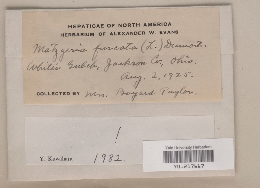
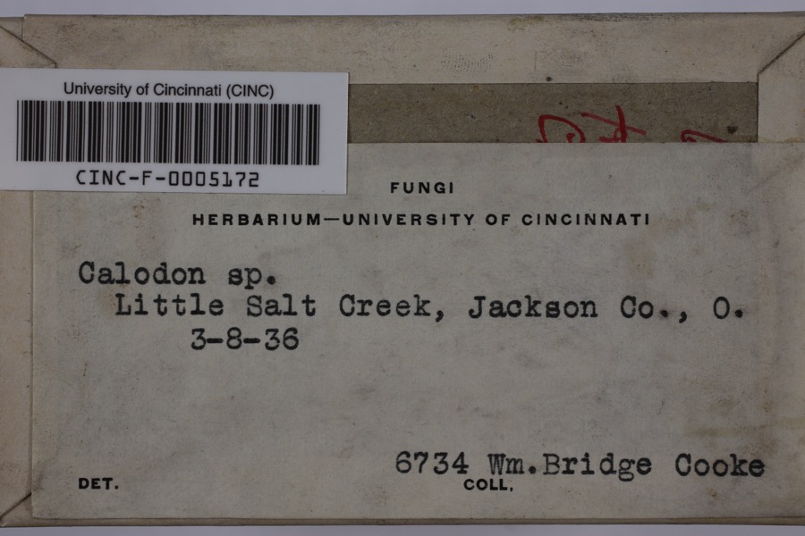
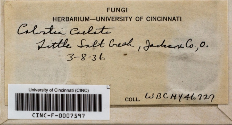
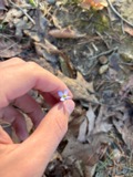
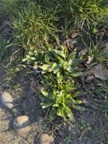
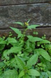
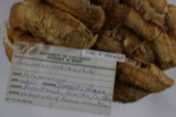
evidence. Museums hold 1,407 specimens
collected within 10 miles of Gibson House between 1878 and
1975: 645 Animalia, 595 Plantae, 161 Fungi, 3 Protozoa, 3 Unrecorded. 12 distinct Species records are shown.
Collected by 'Odell, D., A. Cronquist, A. M. Evans and others. Each is a
physical object with a catalogue
number, and each entry opens the museum's record. This is what was
collected and kept, not a survey of what lives here - nothing can be
concluded from a species being absent.
Regional context, not property-specific
evidence. The federal mineral resources record lists
4 workings within 5 miles of Gibson House: 2 past producers, 1 unknown, 1 producer.
1 still produces. What was taken out: Fire Clay (Refractory), Chromium, Stone, Crushed/Broken. Distance is straight-line from the
map coordinates, so a quarry counted here may appear on a neighbouring
settlement's page as well.
Regional context, not property-specific
evidence. The National Weather Service names
Jackson, the town this property stands in, in 87 storm reports between 1993 and 2025: 44 thunderstorm wind, 25 hail, 7 flash flood, 7 flood.
No death or injury is recorded in these reports. Each account below is quoted exactly as the forecast office
filed it, from the NOAA Storm Events Database, and each date
opens the federal record of that event.
Scattered locations throughout the county had large trees and branches blown down. Around 8,000 customers lost electric power. Even a nursing home facility did not have power restored until 4 days after the storm.||Damage assessment across the county included 2 homes destroyed and 2 with major damage. The public infrastructure damage assessment was around $600.000.
The sheriff reported 20 roads flooded by small streams. A 300 acre freshwater impoundment near Oak Hill spilled over the dam, taking some rocks with it. Water came through the emergency spillway as it was designed. About 160 tons of limestone was trucked in, to reinforce the 15 foot dam. A state official said, "it was a catastrophic rainfall."
Trees were knocked down along Beaver Pike and around Hammertown Lake. Furniture blew through one window of a house. At least one house sustained roof damage.
A tornado touched down near Mount Zion Road where some minor tree damage occurred and swirl patterns were found in a hay field. The tornado tracked northeastward across State Route 139 where tree damage occurred and an outbuilding was damaged. It continued to skip along causing intermittent tree damage in neighborhoods north of State Route 32. The tornado knocked a tree down onto a vehicle at Hope Haven School then snapped or uprooted several trees, some onto vehicles, behind Rowdy's Smokehouse. This is where the tornado reached maximum EF1 intensity with winds estimated up to 90 miles per hour. ||The tornado then crossed Main Street, ripped a portion of the roof of of the Tractor Supply building, flipped over a parked semi trailer in the parking lot and then caused roof damage to buildings in the Senior Village. Some minor tree damage was then noted to the east of US-35 along Pattonsville Road where the tornado path ended.||This was the 8th known tornado in Jackson County and the 2nd so far this year.
Multiple trees were blown down in the town of Jackson, some of which fell onto vehicles. Structural damage to commercial and residential buildings were observed, including roof damage in the southern part of the city along and near Route 93, just north of Route 124.
Numerous areas of damage were observed along Route 124 in the vicinity of a hospital south of the town of Jackson. The damage included numerous downed trees and power lines, sections of roofs peeled off, and semi-trucks that were flipped over.
Localized rains of 2 to 3 inches likely fell in about 2 hours from a small cluster of training thunderstorms. Street flooding occurred from full culverts and drainage pipes. Water damaged carpet at the middle school.
Several roads were closed by stream flooding, mostly in the eastern part of the county. A few examples were Keystone Furnace Road, Antioch Road, Moriah Road, and Cherry Fork Road. No structures were flooded.
Following a couple inches of rainfall in around an hour, high water covered some roads in Jackson County. This included Main Street in Jackson and several roads in Wellston.
No historic map-sheet match is published
for this property yet. That does not mean no map exists. This record needs
a coordinate-quality review before it can be joined to a sheet boundary.
Browse the county's mapped places while that work is
pending.
From the nomination file
2,475 words on record
When this property was proposed for the
National Register, someone wrote the case for it: what the building is,
and why it matters. That document is a federal record in the public domain.
It is quoted below word for word, never summarised. The text was read off the scanned case file by machine, so the
occasional stray character is the recogniser's and the 1970s
typewriter's.
Description of the property
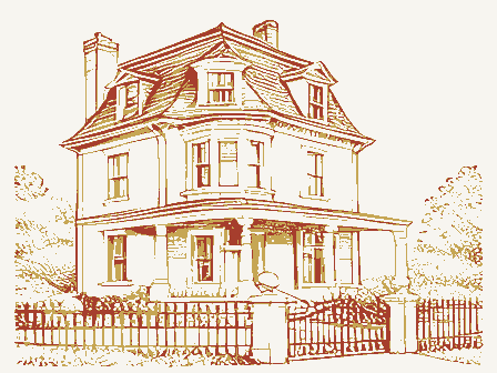
and six bays across the side elevation. Originally a brick, two-story Federal fifth and sixth bay from the east corner. A small L-shaped addition was added to the rear shortly after its construction around 1816. The original block faces Main Street (eight bays by three bays) and has four small windows (two removing the two brick walls and the wooden floor of the original store room changing it and two adjacent rooms into one large room served by the two main and also over the eighteen foot extension along Portsmouth Street with a of the rooms are still intact as are most doors with the exception of the remains intact. Condition unexposed 7. Description entablature with supporting console presently surfaced with asphalt shingles.
hallway with a three story winding staircase which has remained unchanged moved for better supervision.The actual bar was removed but the back bar basement in the west rear of the building. plaster stucco around 1920 leaving only the cut stone sill exposed.Stucco _fair X altered The Gibson House is a three-story masonry building covered with stucco and The Main and Portsmouth Street sides each have three entrances: small since 1883. The lobby area was remodeled in the 1920's and expanded by floor attic in 1883 to an expanded full third floor over the original building One room occupied by the bar is very unusual for it is decorated in the still intact is the visually arresting back bar of glass, mirrors, ceramic The original roof cresting has been removed.
The interior walls had all the as finances allow. The walls are of brick common bond and windows have stone were added to the east rear and the original six over six, sash windows were replaced with two over two sash.
(in one paragraph) The Gibson House is significant under Criterion A for its role in the commercial development of the City of Jackson and under Criterion C as a representation of the architectural transition from early 19th century Gibson House is the only 19th century hotel remaining in a community which shown in the 1875 lithograph with its paired end wall chimneys stands in sharp remaining form although somewhat obscured by the stuccoed exterior. The Gibson House, or what was known as the Hoffman House from 1816 to 1863, was the site of a general mercantile business sometime after Daniel Hoffman settled here after serving in the War of 1812. Considered "newly built"by location from 1819 to 183l.
Daniel Hoffman and his sons were in the forefront of the iron and the resulting rail industry which revived Jackson in the 1850s. Daniel Hoffman and his sons were involved in politics and government very extensively during their lifetimes while living and working from offices in the Gibson House site and were involved in many local, county, and state offices starting with Daniel in 1820 and his sons holding public offices well in Jackson on July 4, 1855.
Socially the Hoffman House was headquarters for Jackson's first Masonic Lodge and building and the need for an enlargement of the third floor attic in 1883 By 1899 the Ishman House, Jackson's only other major hotel, was demolished to Slowly declining from 1908 until 1925, the Curtis Wick family bought the hotel 1883 1700-1799 1600-1699 1500-1599 conservation education 1400-1499 engineering theater economics humanitarian Period archeology-historic transportation archeology-prehistoric science 8.
Quoted from the National Register nomination
for reference 85003045, 23 pages, held by the National Archives in Record
Group 79. See the
catalogue record.
Listed places nearby
5 within 8 miles
Other National Register properties close
enough to walk or drive between, ordered by distance from this one. Both
positions come from the same geocoding pass that matched these properties
to their map sheets.
Listing record. National Park Service National Register of Historic Places, listed-properties dataset, current to 2026-05-22.
Map join. Address geocoded through the United States Census geocoder, then tested against the published boundary of every sheet in the USGS Historical Topographic Map Collection.
How this page is made. Listing fields come from federal records; map-sheet coverage is a labelled coordinate-to-boundary calculation, not a source-field claim.
Wildfire. Short, Karen C. 2022. Spatial wildfire occurrence data for the United States, 1992-2020 [FPA_FOD_20221014]. 6th Edition. Fort Collins, CO: Forest Service Research Data Archive. https://doi.org/10.2737/RDS-2013-0009.6 Collected with United States Government funding and usable without additional permissions or fees.
Specimens. Global Biodiversity Information Facility (GBIF), https://www.gbif.org/. Only records licensed CC0 or CC BY are used. Records licensed CC BY-NC are excluded because this site carries advertising. Images are checked individually and any whose licence is non-commercial, no-derivatives or unreadable is refused.
Mines and quarries. USGS Mineral Resources Data System (MRDS) https://mrdata.usgs.gov/mrds/ A work of the United States government, no copyright under 17 U.S.C. 105.
Storms. NOAA National Centers for Environmental Information, Storm Events Database https://www.ncei.noaa.gov/stormevents/ A work of the United States government, no copyright under 17 U.S.C. 105. Narratives are quoted verbatim from the National Weather Service report and are not edited or summarised.
 Block
Block