69 topographic sheets and 17 fire insurance
atlases across 3 places.
Research this county
This curated hub for Jackson County, Ohio brings together the page's documented record links, visible map or image evidence where published, and routes to related local records.
Use the page's provenance and linked records to distinguish the source material from the site's navigation and summaries.
How should I cite it?
Open the original record, preserve its repository and identifier, then use the citation tool for this page as a path back to the source.
Where should I go next?
Follow the county or state hub for related places and records, then use the guide for a source-aware research sequence.
From the record
10 National Register listings · 59 businesses named in the fire insurance atlases from 1888 to 1921 · the 1900 county history tells 1 stories and names 4 people · people the book names include Chas. A. Lackey (Jackson Township, 1900) (machine-read).
Ohio within the United StatesJackson County within Ohio
Explore by year
What the record shows
3 places in this county were surveyed for fire insurance: Jackson, Wellston, Oak Hill, between 1886 and 1946.
17 fire insurance atlas(es) survive for the county. Topographic coverage is national; fire insurance survey reached only incorporated places with something worth insuring.
773 topographic sheet readings cover the county's settlements.
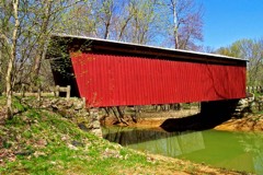
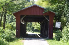
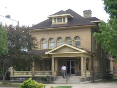
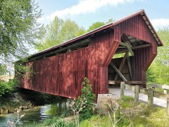
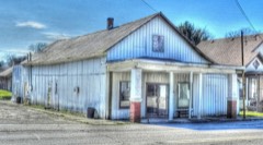
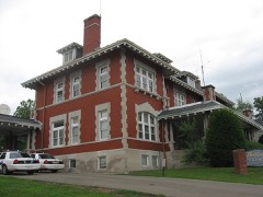
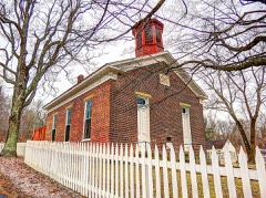
10 properties here are on the National Register of Historic Places, including 3 covered bridges, 3 houses and farms.
5 of the 10 listings were added during the 1970s.
The Geographic Names Information System records 64 populated places in this county; 0 are covered by at least one topographic sheet.
5 public-domain county histories, 1900 to 1916, supply 381,306 words of narrative reproduced here in full.
What happened here
1 accounts
A captivity, a drowning, a famine, a man
scalped clearing his lot in 1789. These are passages from A History of Jackson County, Ohio, written
while people who remembered the events were still alive, and each one
opens the section it comes from.
1900, Jackson Township
Economic Value
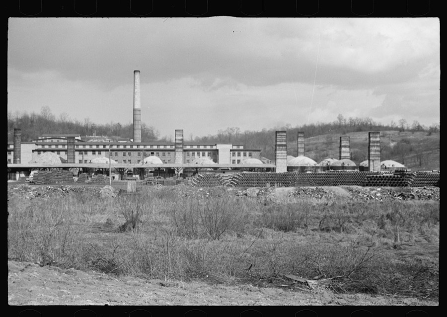
The Portsmouth shales form the basis of the extensive paving brick industry in the vicinity of Portsmouth and Sciotoville. The quantity of suitable material in these beds is practically unlimited, as the shales have been attacked only at a few places along the outcrop. At present the mining is confined to blasting the shales from the sides of the hills, or to working the beds by short entries.
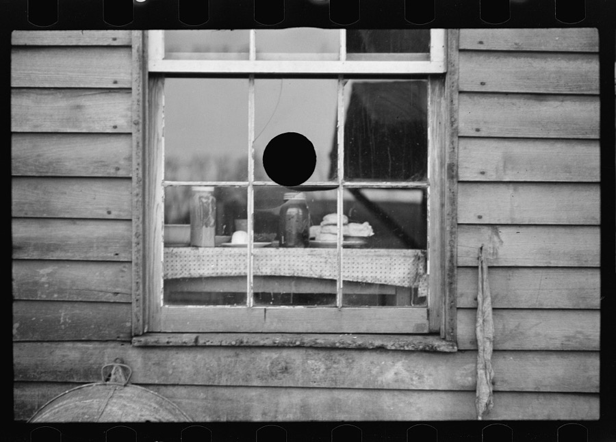
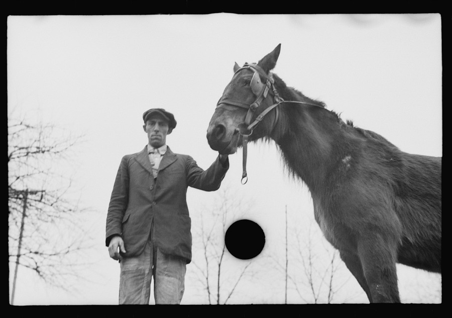
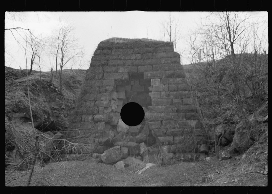
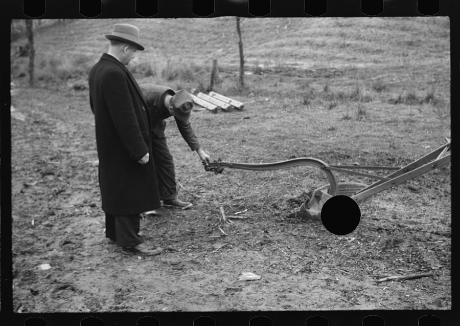
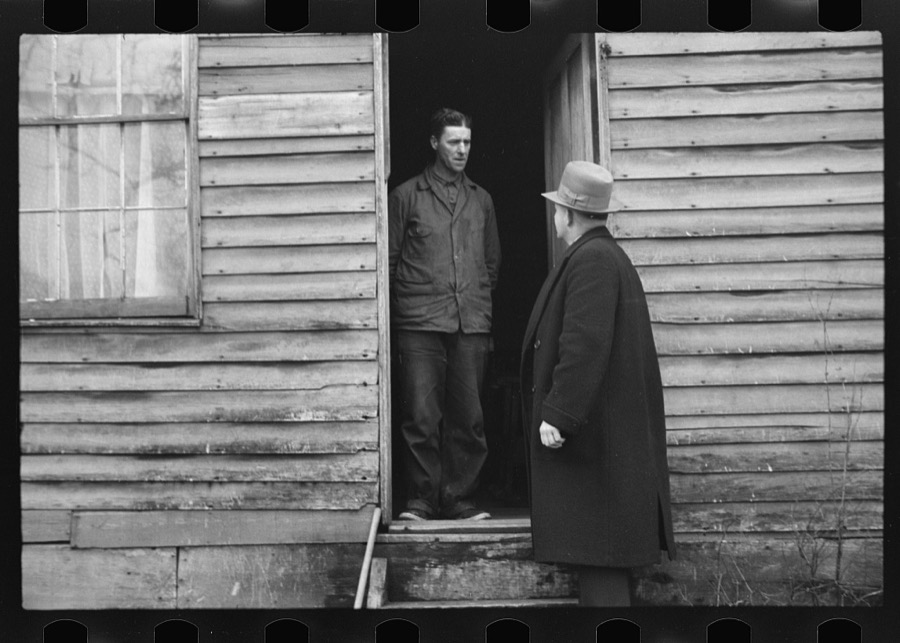
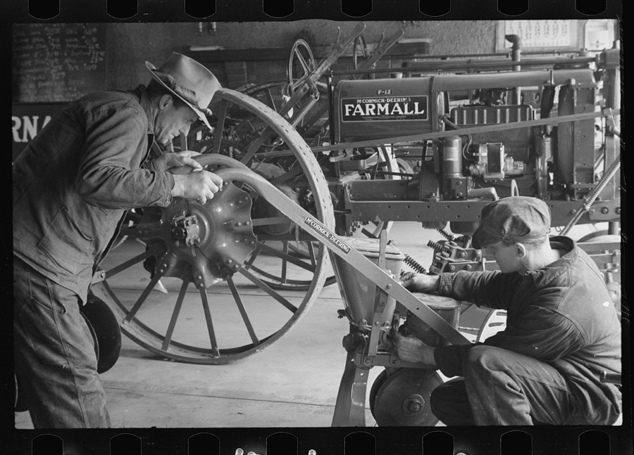
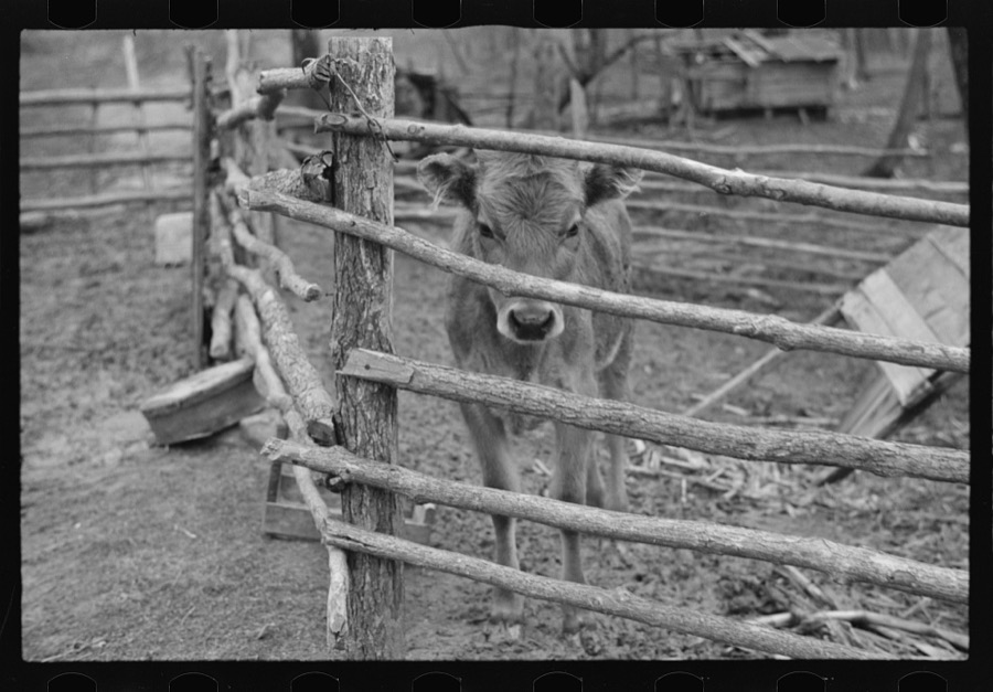
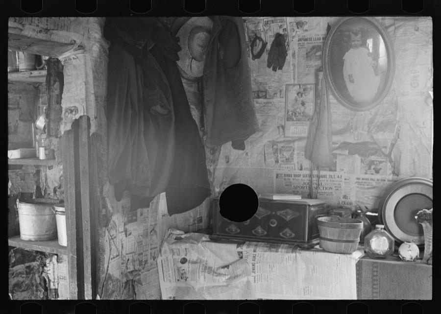
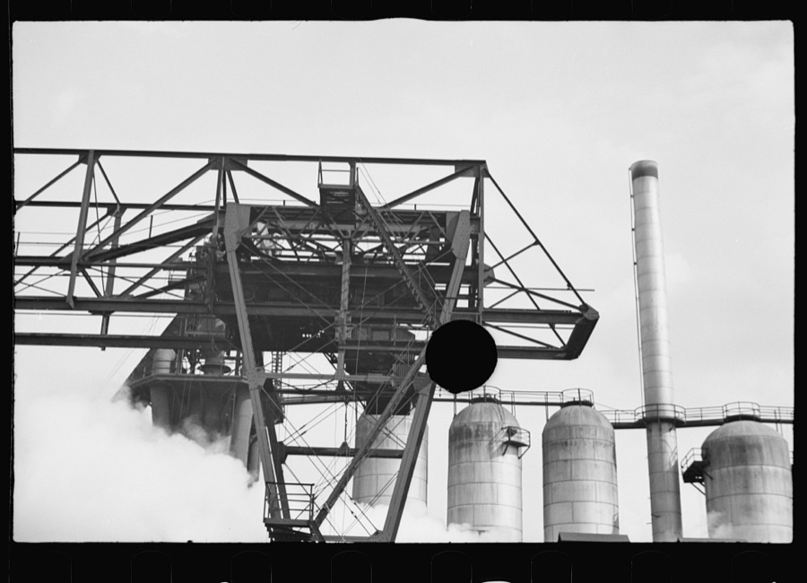
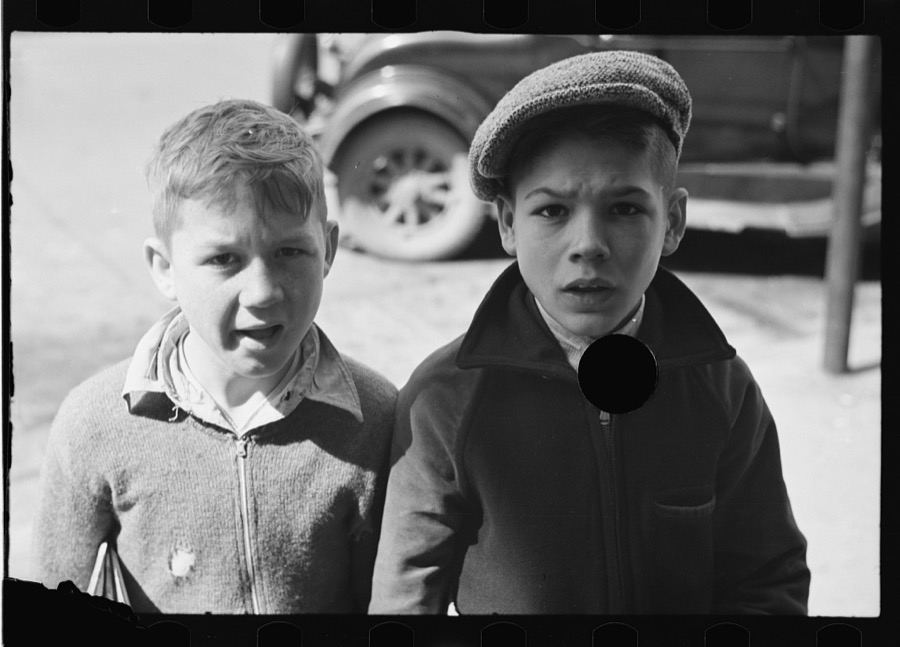
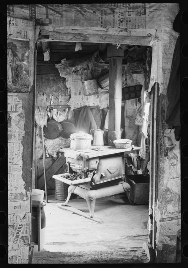
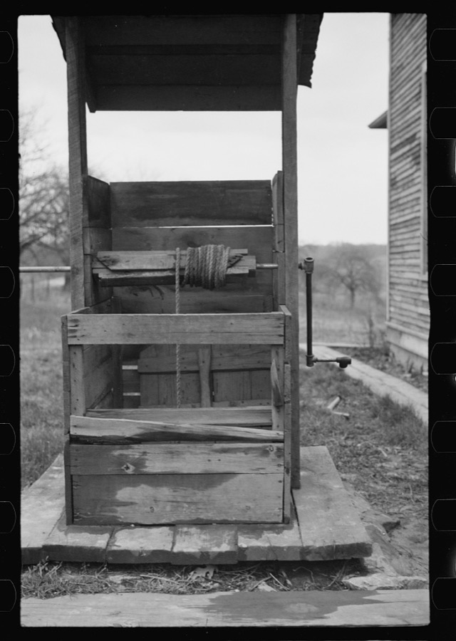
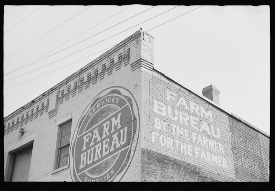
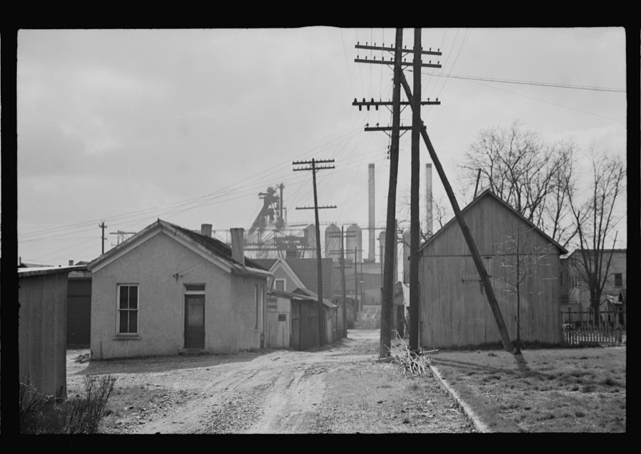
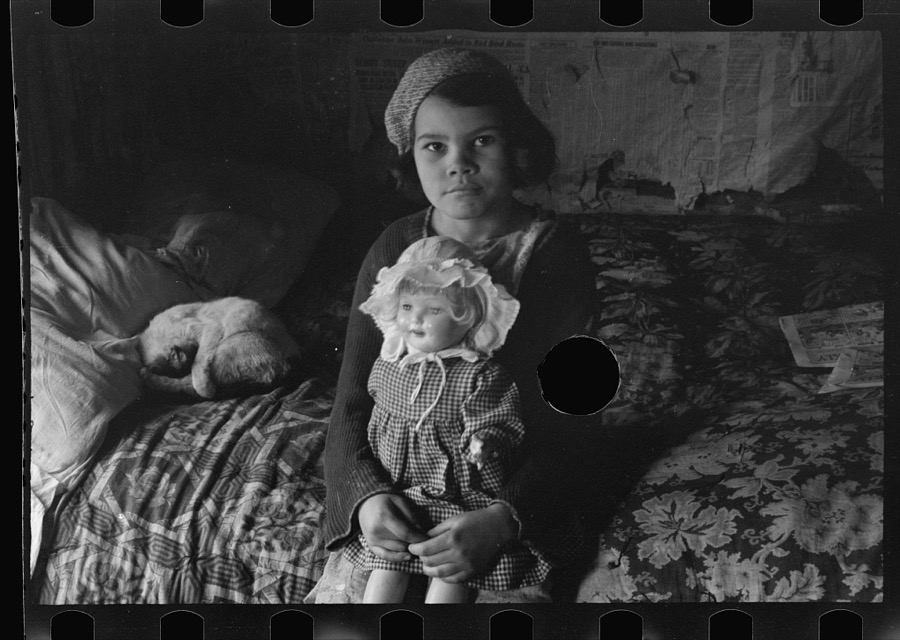
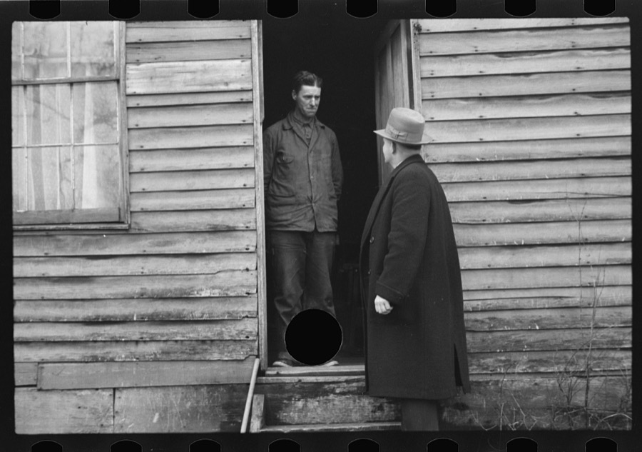
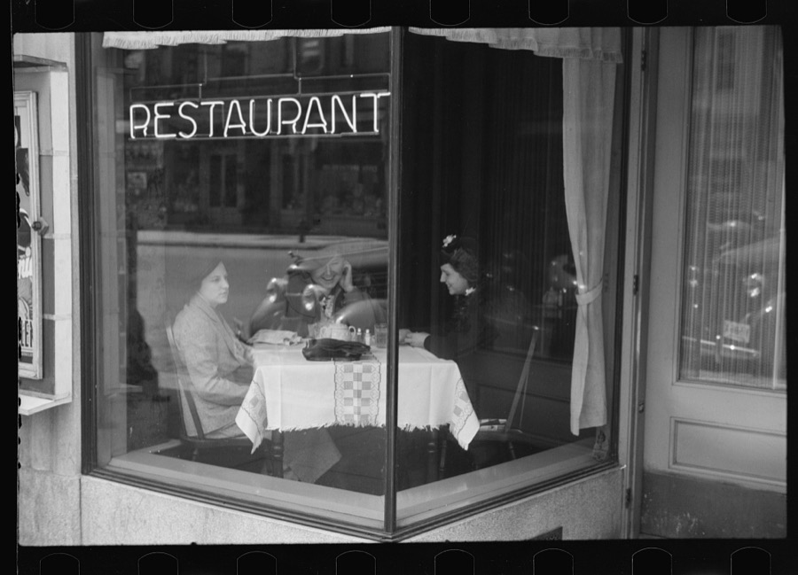
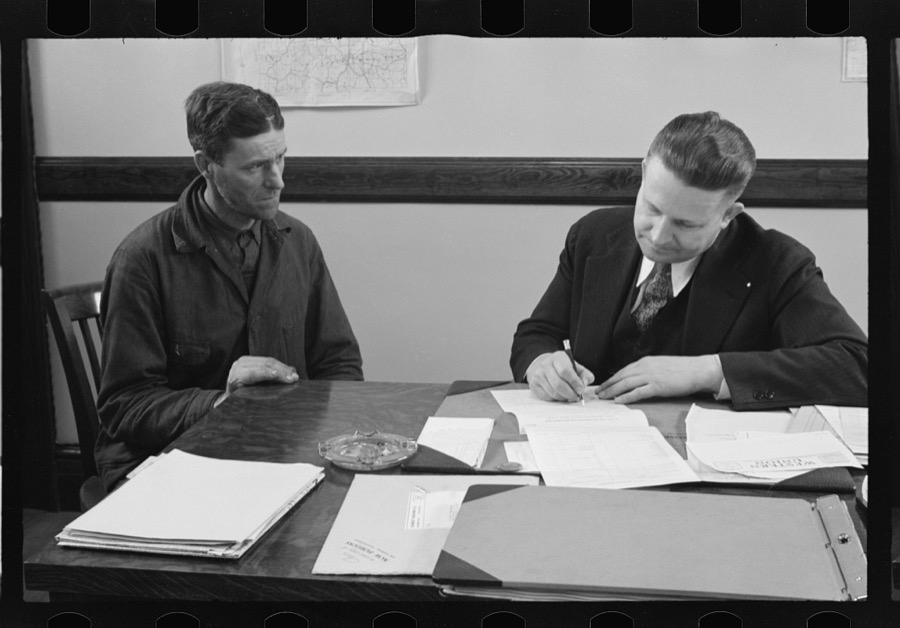
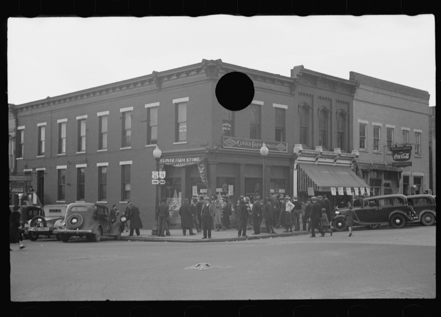
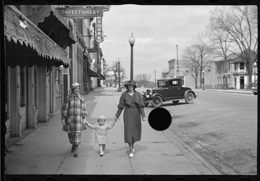
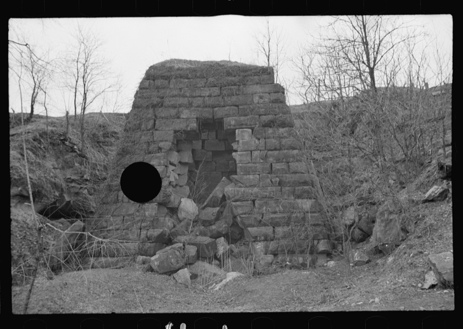
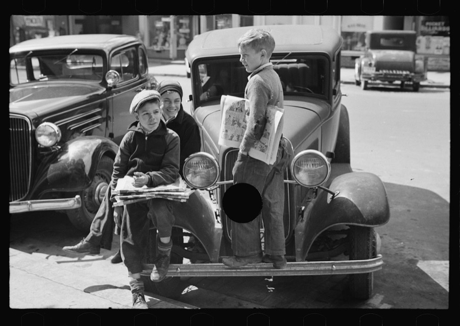
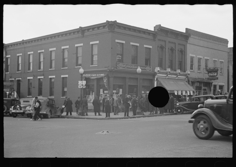
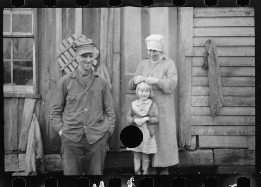
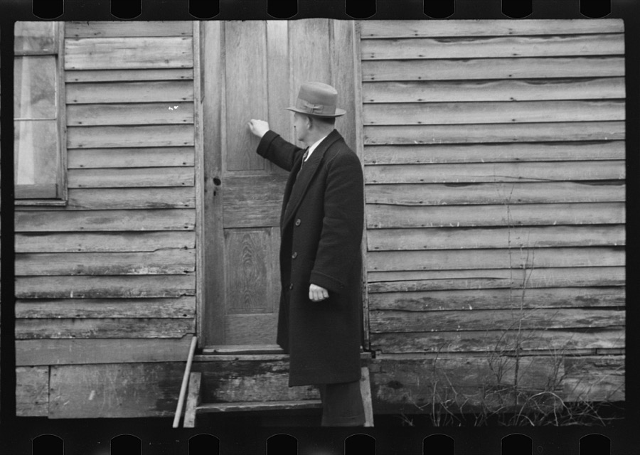
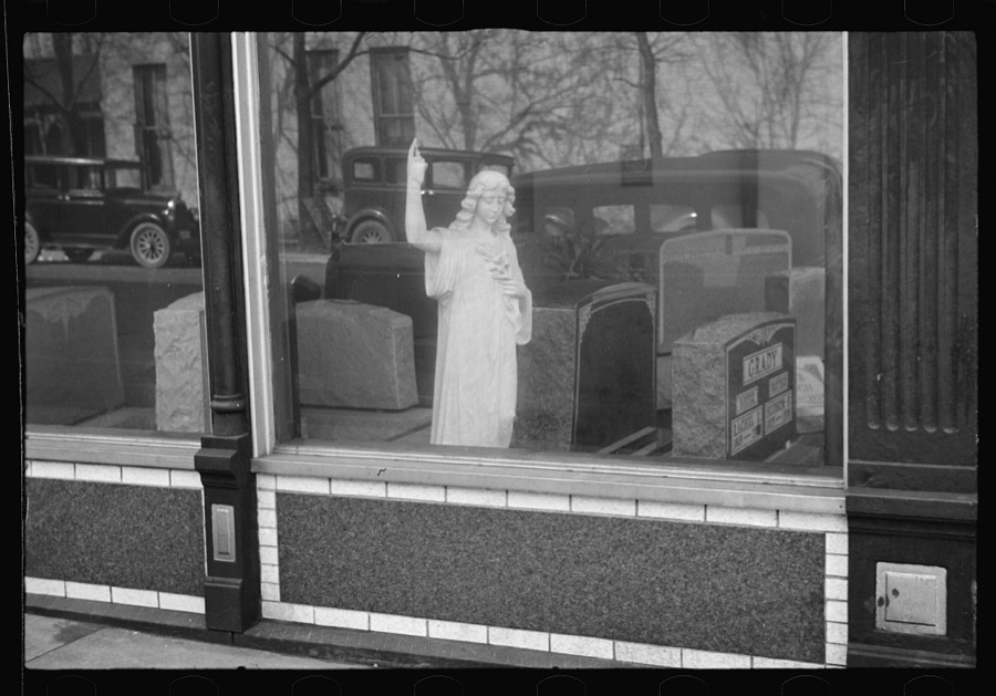
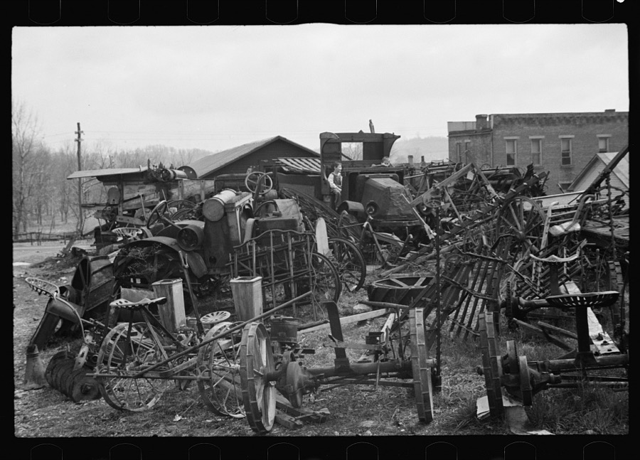
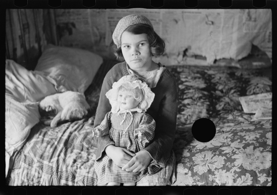
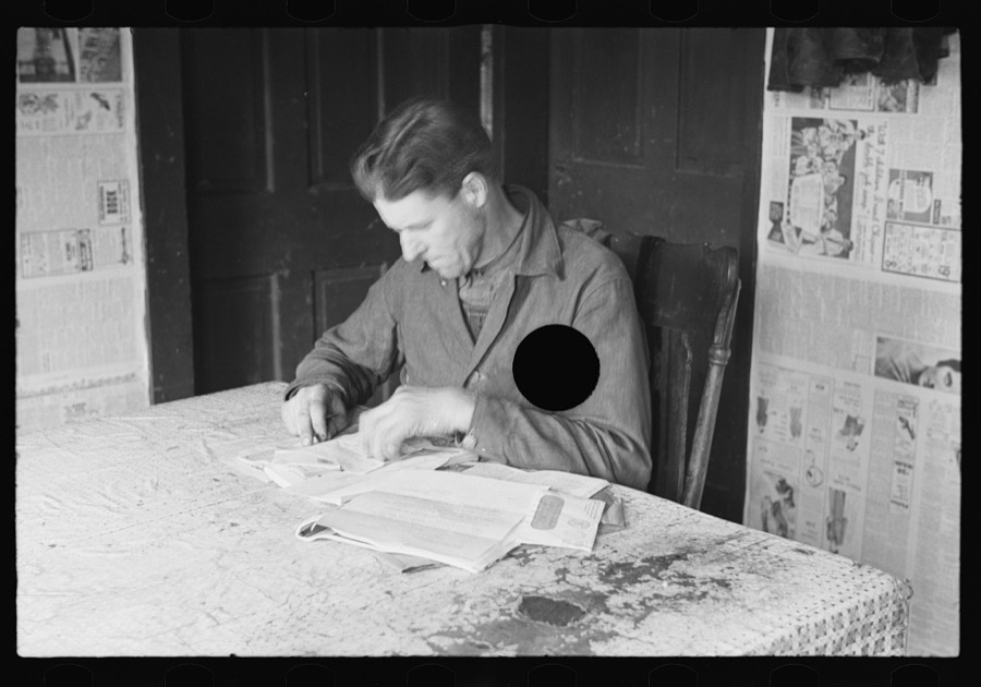
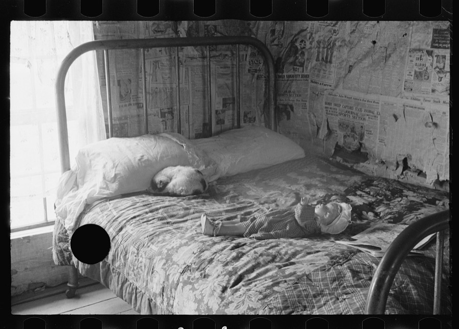
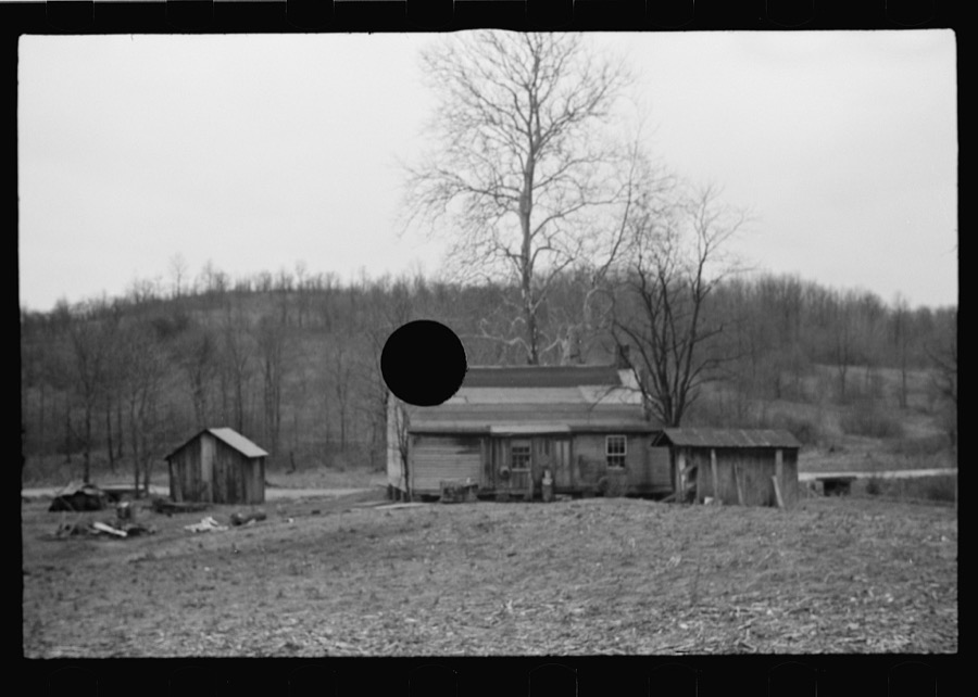
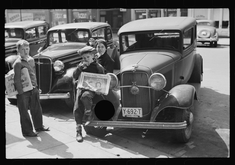
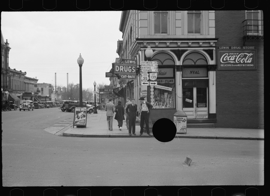
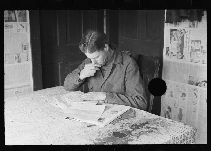
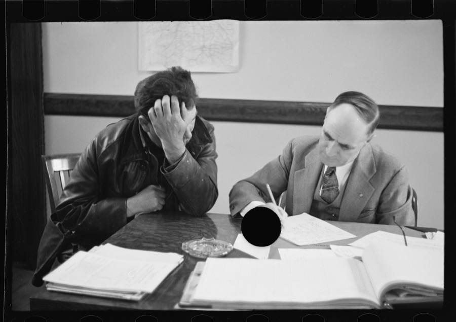
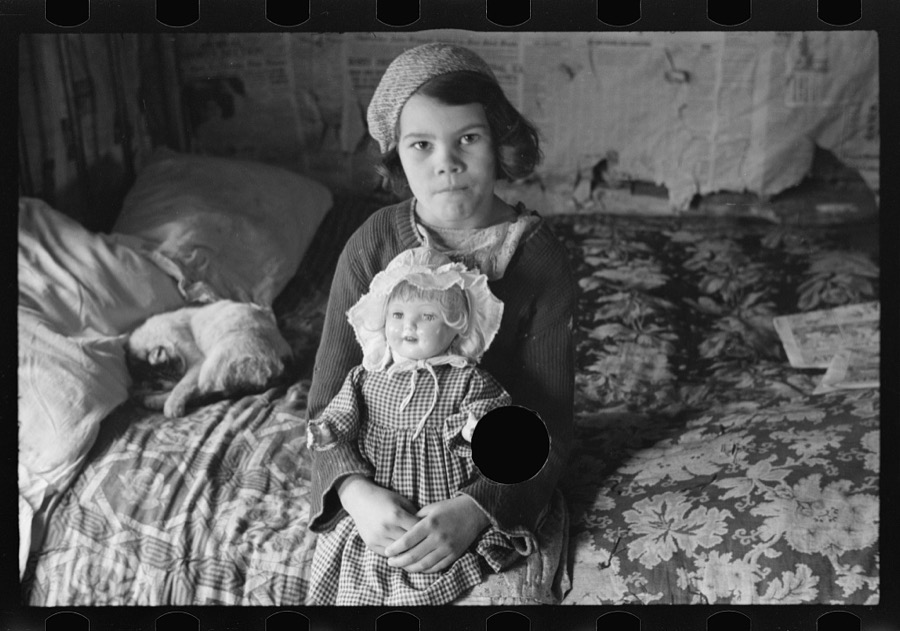
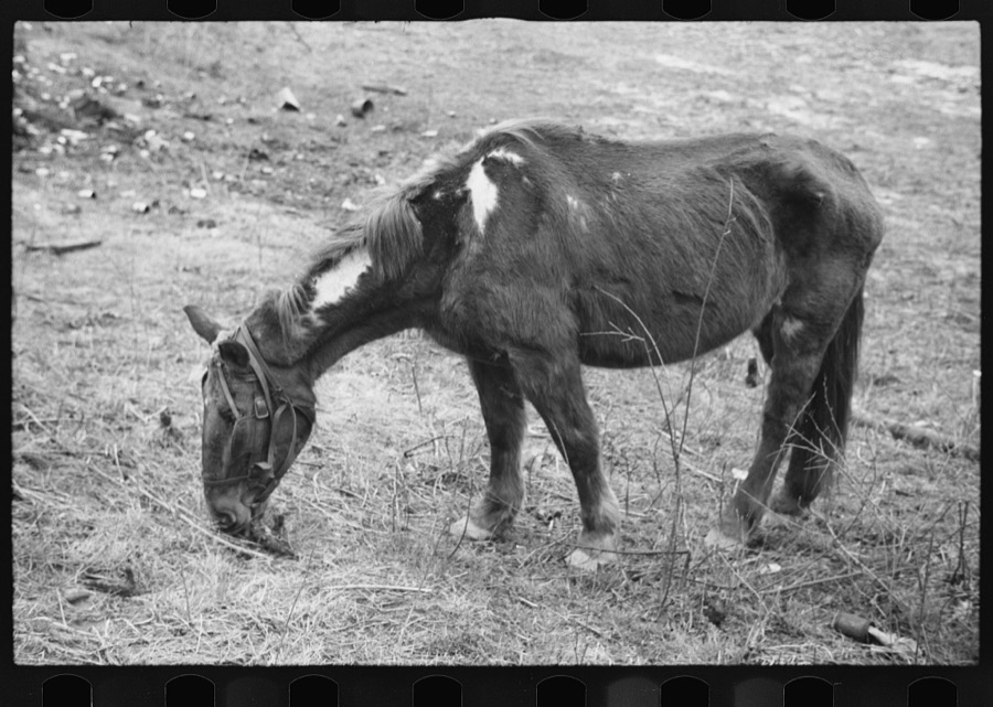
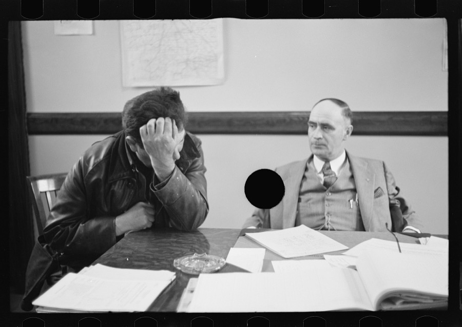
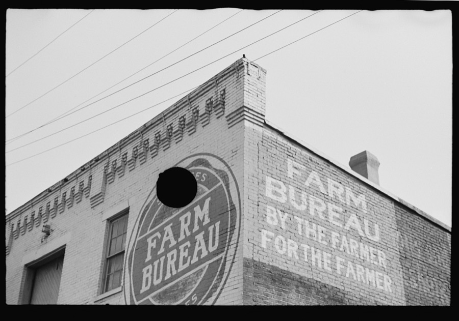
Taken for the Office of War Information and
the Farm Security Administration, who photographed the country between
1935 and 1944. Works of United States government photographers, with no
known restriction on use. Each opens its catalogue record.
Kitchen table seen through window of rehabilitation client's home, Jackson County, Ohio Jung, Theodor, 1936. Library of CongressNeglected horse owned by rehabilitation client, Jackson County, Ohio Jung, Theodor, 1936. Library of CongressJefferson furnace-made iron for "Monitor" in Civil War, not far from Jackson, Ohio Jung, Theodor, 1936. Library of CongressPart of family of rehabilitation client, Jackson County, Ohio Jung, Theodor, 1936. Library of CongressResettlement Administration representative at door of rehabilitation client's house, Jackson County, Ohio Jung, Theodor, 1936. Library of CongressRehabilitation client looking over farm implements, Jackson, Ohio Jung, Theodor, 1936. Library of CongressResettlement Administration representative at door of rehabilitation client's house, Jackson County, Ohio Jung, Theodor, 1936. Library of CongressInterior of rehabilitation client's cabin, Jackson, Ohio Jung, Theodor, 1936. Library of CongressIron furnace in Jackson, Ohio Jung, Theodor, 1936. Library of CongressKids, Jackson, Ohio Jung, Theodor, 1936. Library of CongressInterior of rehabilitation client's house, Jackson, Ohio Jung, Theodor, 1936. Library of CongressWell, common source of water supply, Jackson, Ohio Jung, Theodor, 1936. Library of CongressFarm Bureau Cooperative Association, Jackson, Ohio Jung, Theodor, 1936. Library of CongressIron furnace in Jackson, Ohio Jung, Theodor, 1936. Library of CongressChild of rehabilitation client, Jackson County, Ohio Jung, Theodor, 1936. Library of CongressResettlement Administration representative at door of rehabilitation client's house, Jackson County, Ohio Jung, Theodor, 1936. Library of CongressSunday dinner, Jackson, Ohio Jung, Theodor, 1936. Library of CongressRehabilitation client worrying over his accounts, Jackson County, Ohio Jung, Theodor, 1936. Library of CongressStreet scene, Saturday afternoon in Jackson, Ohio Jung, Theodor, 1936. Library of CongressStreet scene, Saturday afternoon in Jackson, Ohio Jung, Theodor, 1936. Library of CongressJefferson furnace-made iron for "Monitor" in Civil War, not far from Jackson, Ohio Jung, Theodor, 1936. Library of CongressNewsboys, Jackson, Ohio Jung, Theodor, 1936. Library of CongressStreet scene, Saturday afternoon in Jackson, Ohio Jung, Theodor, 1936. Library of CongressPart of family of rehabilitation client, Jackson County, Ohio Jung, Theodor, 1936. Library of CongressResettlement Administration representative at door of rehabilitation client's house, Jackson County, Ohio Jung, Theodor, 1936. Library of CongressGravestones and monument in dealer's window, Jackson, Ohio Jung, Theodor, 1936. Library of CongressChildren playing in junk pile, Jackson, Ohio Jung, Theodor, 1936. Library of CongressChild of rehabilitation client, Jackson County, Ohio Jung, Theodor, 1936. Library of CongressRehabilitation client worrying over his accounts, Jackson County, Ohio Jung, Theodor, 1936. Library of CongressInterior of rehabilitation client's house, Jackson, Ohio Jung, Theodor, 1936. Library of CongressAbandoned brick factory, not far from Jackson, Ohio Jung, Theodor, 1936. Library of CongressPart of family of rehabilitation client, Jackson County, Ohio Jung, Theodor, 1936. Library of CongressNewsboys, Jackson, Ohio Jung, Theodor, 1936. Library of CongressStreet scene, Saturday afternoon in Jackson, Ohio Jung, Theodor, 1936. Library of CongressRehabilitation client worrying over his accounts, Jackson County, Ohio Jung, Theodor, 1936. Library of CongressRehabilitation client worrying over his accounts, Jackson County, Ohio Jung, Theodor, 1936. Library of CongressChild of rehabilitation client, Jackson County, Ohio Jung, Theodor, 1936. Library of CongressNeglected horse owned by rehabilitation client, Jackson County, Ohio Jung, Theodor, 1936. Library of CongressRehabilitation client worrying over his accounts, Jackson County, Ohio Jung, Theodor, 1936. Library of CongressFarm Bureau Cooperative Association, Jackson, Ohio Jung, Theodor, 1936. Library of Congress
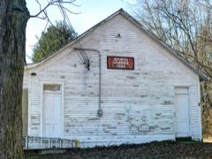
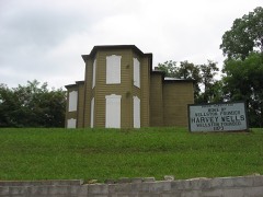
Places on the National Register
10
Every property in this county listed on the
National Register of Historic Places, with the year it was listed and the
federal nomination document.
Jackson County holds 3 covered bridges on
the National Register, more than any other property type here. Each is a listed
structure with a federal nomination on file.
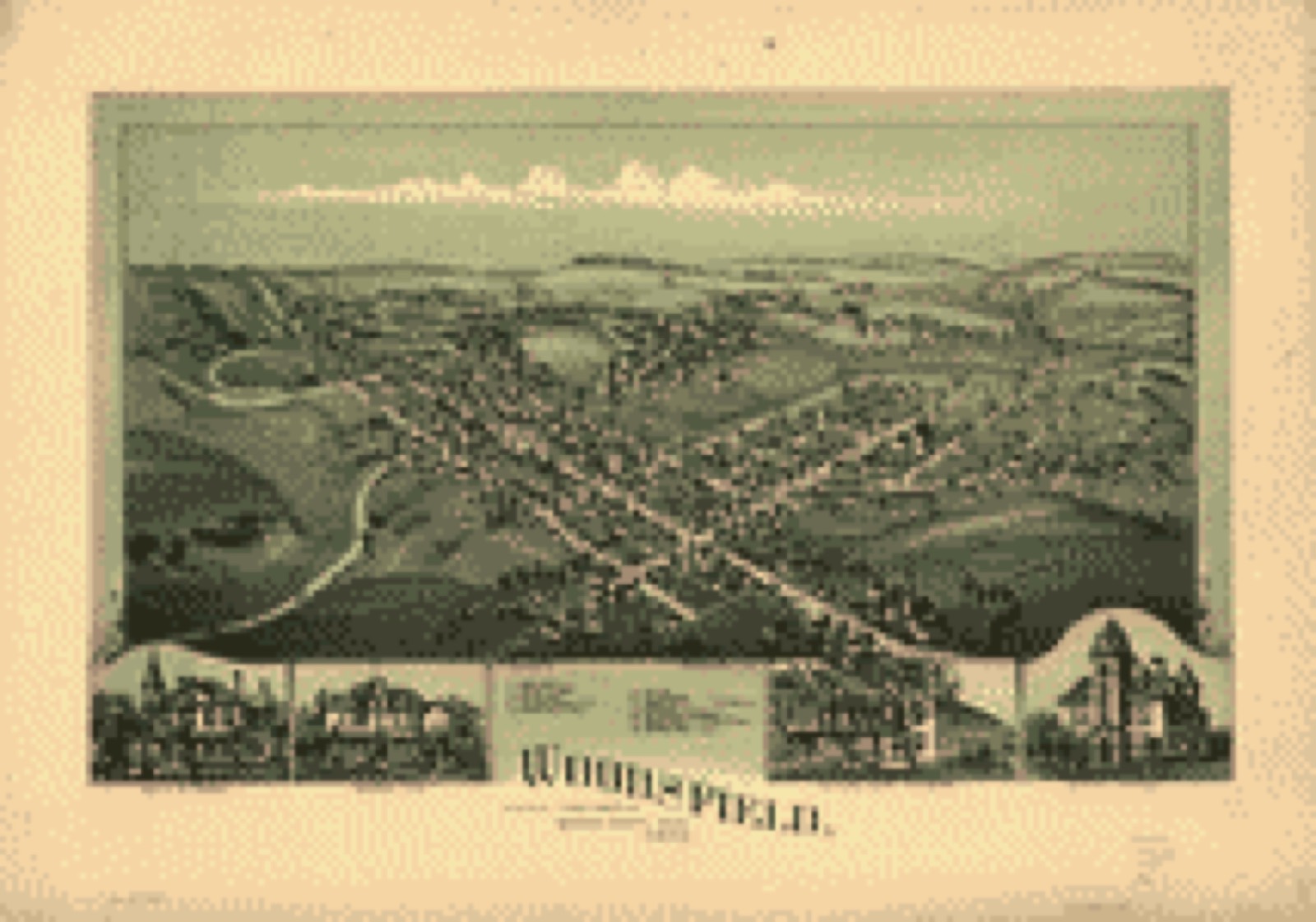
Drawn when these were printed as
single large sheets: the town seen from the air, and the county
divided into its farms with every owner named. Each opens the
original at the Library of Congress.
Bird's-eye view (1899) - Woodsfield, Monroe County, Ohio, 1899. Library of Congress.Land ownership map (1905) - Atlas and directory of Paulding County, Ohio : containing maps of Paulding County, townships, and incorporated villages, also maps of the United States and state of Ohio : together with an outline map of Paulding County, showing location of townships, villages, roads, railroads, pikes, principal streams, etc., etc., etc. Library of Congress.Land ownership map (1856) - Map of Hamilton County, Ohio : exhibiting the various divisions and sub divisions of land with the name of the owners & number of acres in each tract together with the roads, canals, streams, towns &c. throughout the county. Library of Congress.Land ownership map (1869) - Map of Monroe County, Ohio. Library of Congress.Land ownership map (1889) - Bryan's new map of the City of Portsmouth and part of Clay Township Scioto Co., Ohio. Library of Congress.
Photographs from libraries nationwide
4 shown
Selected from the Digital Public Library
of America's 4 image records catalogued for this county. Every
one shown here carries a public-domain status or a licence that permits
reuse on a site that carries advertising; non-commercial, share-alike
and restricted images are excluded. The selection is spread across the
county's towns (at most eight per town), so no single institution's
bulk upload crowds out the rest. Each opens the holding library's
record, and
the complete set at the
Digital Public Library of America is one click away.
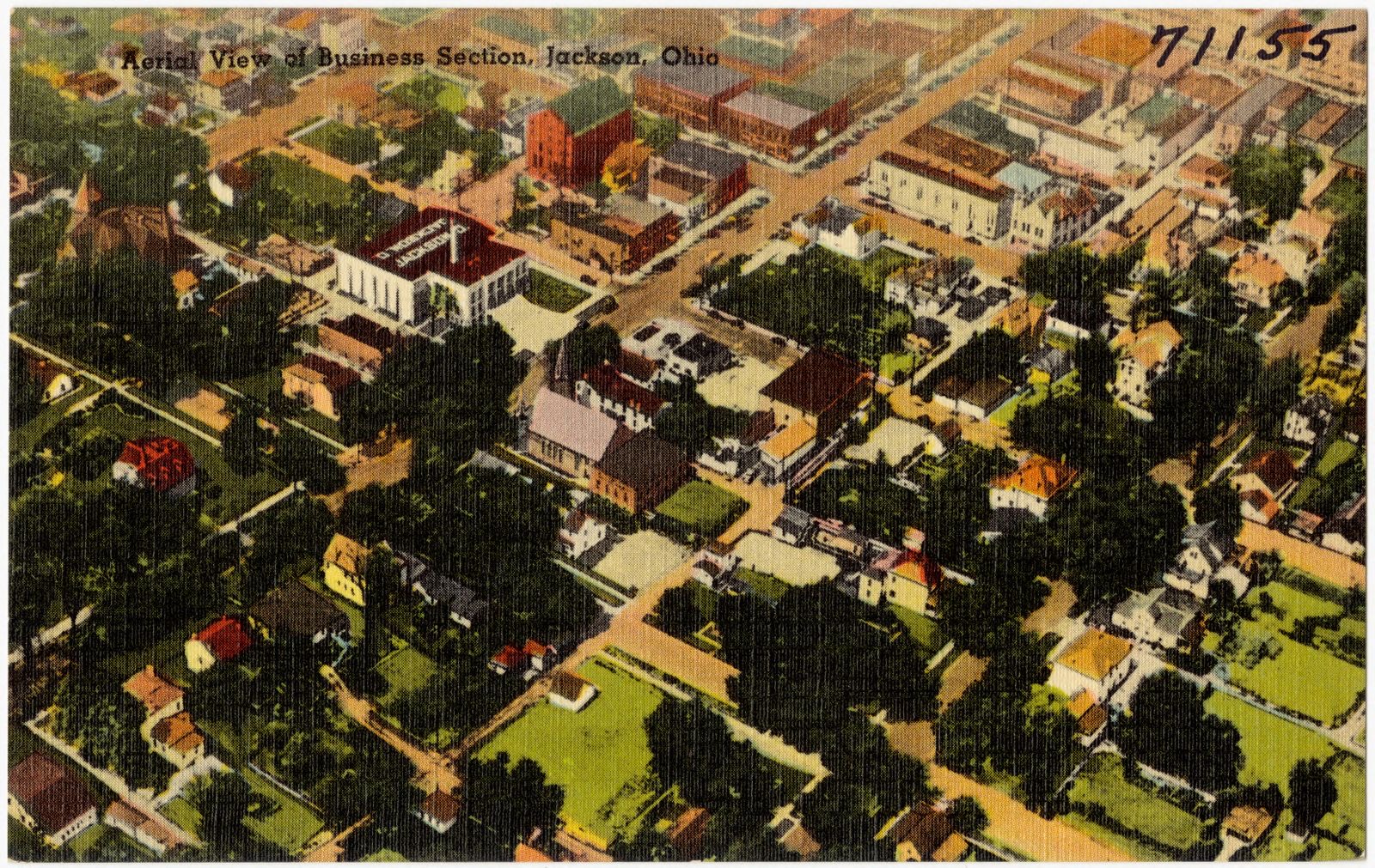
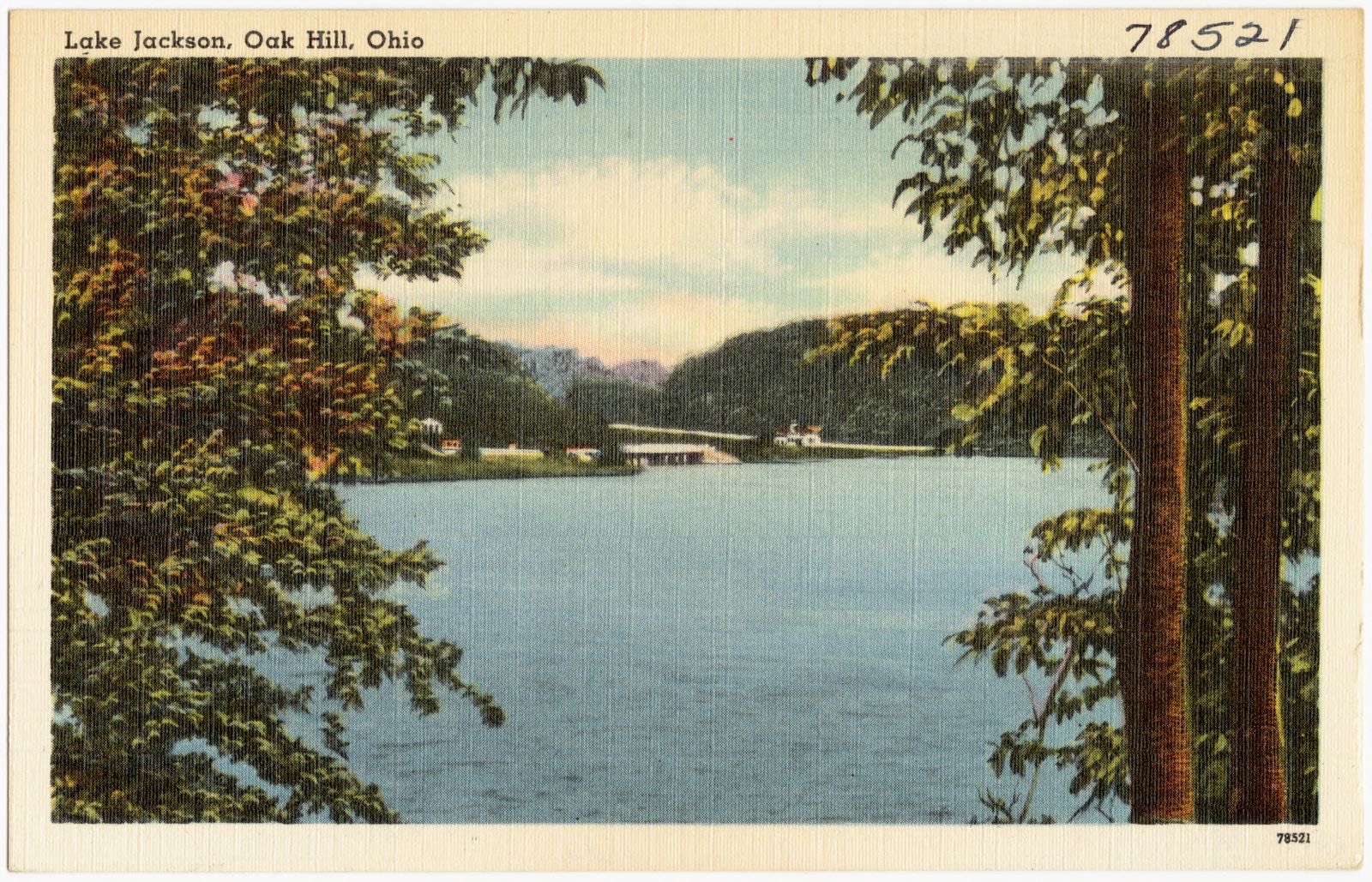
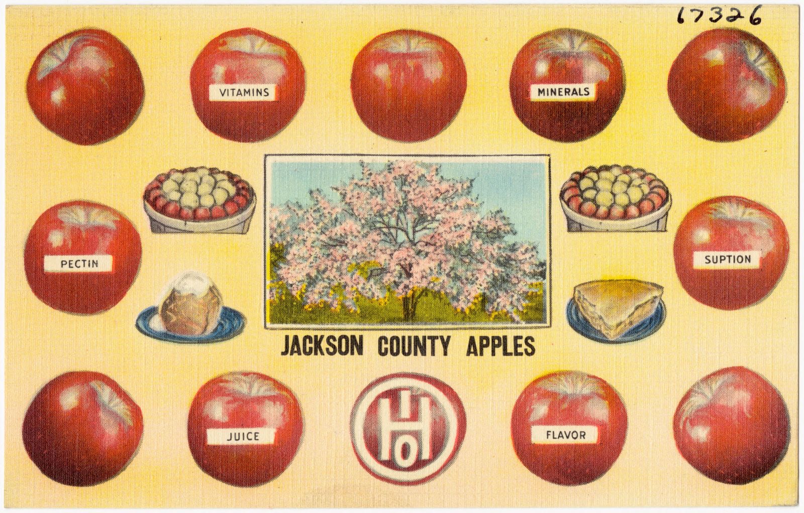
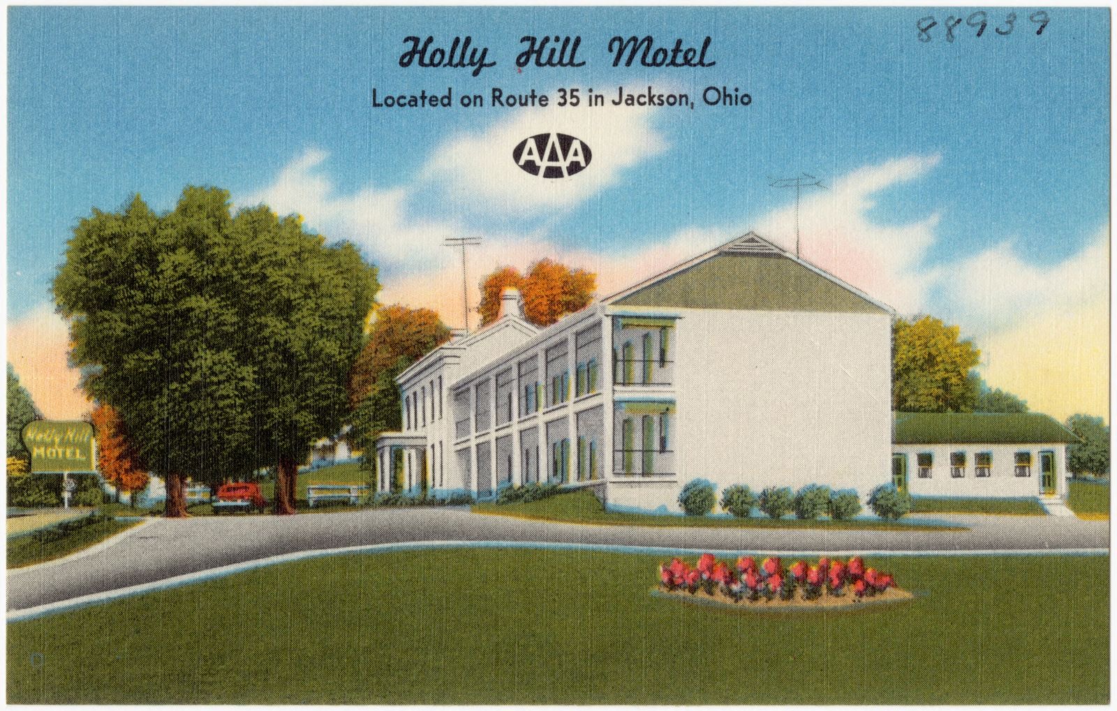
Aerial view of Business section, Jackson, Ohio. Boston Public Library, via the Digital Public Library of America.Lake Jackson, Oak Hill, Ohio. Boston Public Library, via the Digital Public Library of America.Jackson County Apples. Boston Public Library, via the Digital Public Library of America.Holly Hill Motel, located on Route 35 in Jackson, Ohio. Boston Public Library, via the Digital Public Library of America.
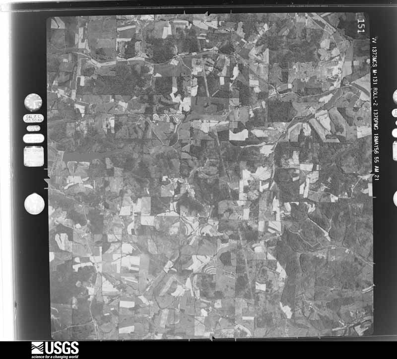
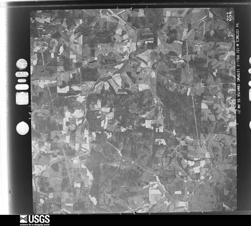
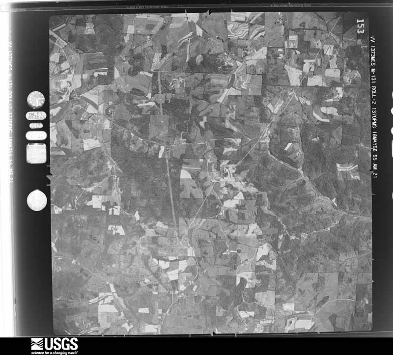
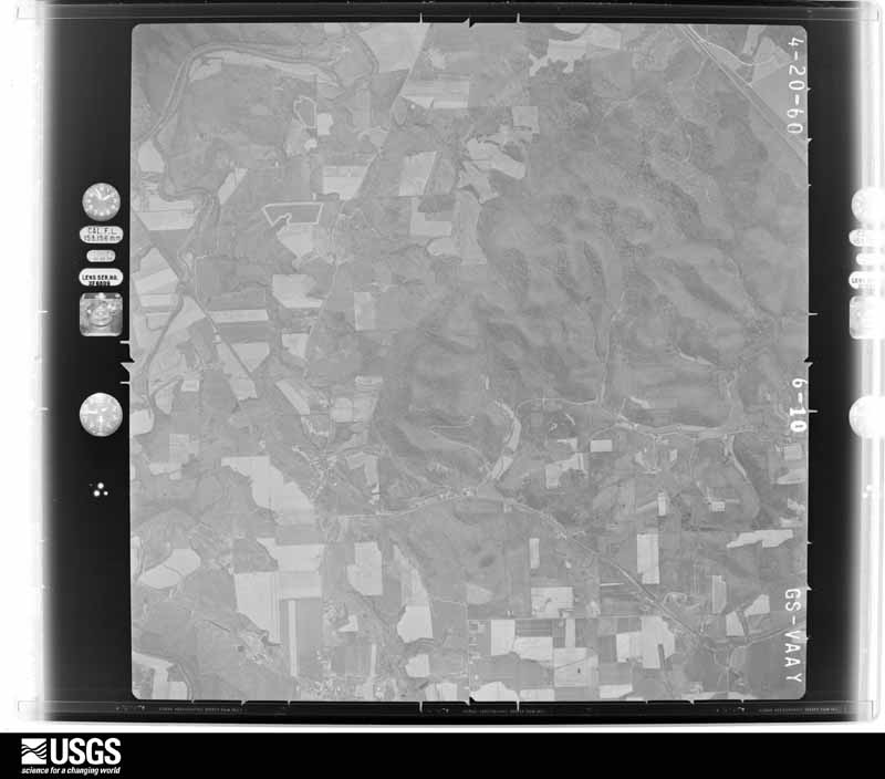
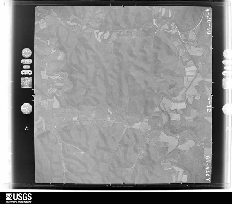
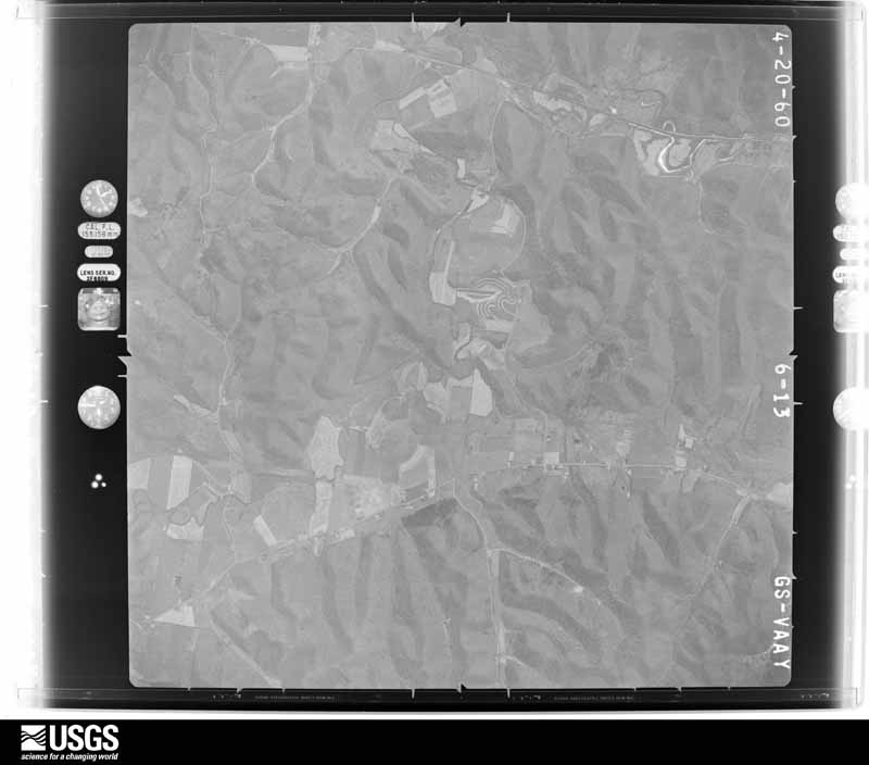
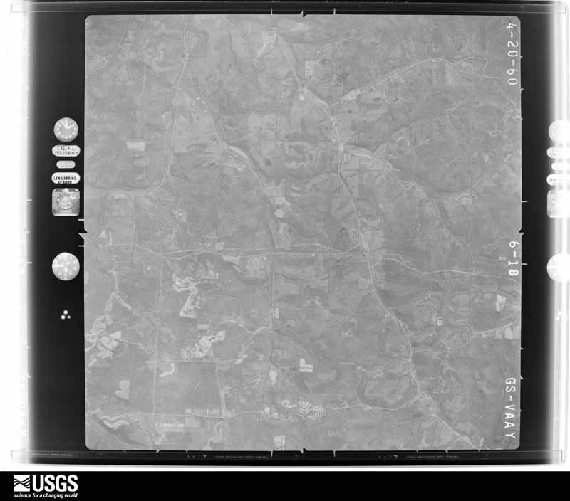
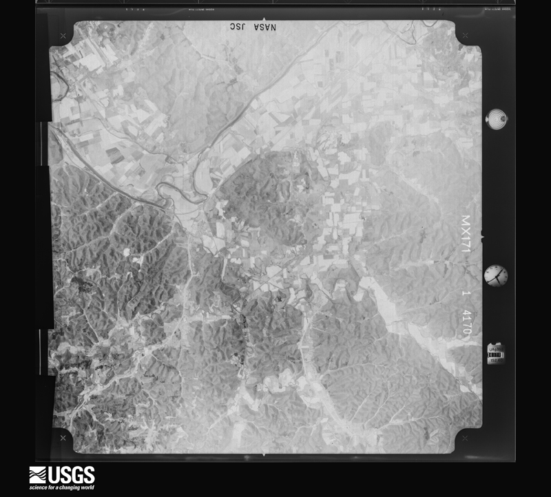
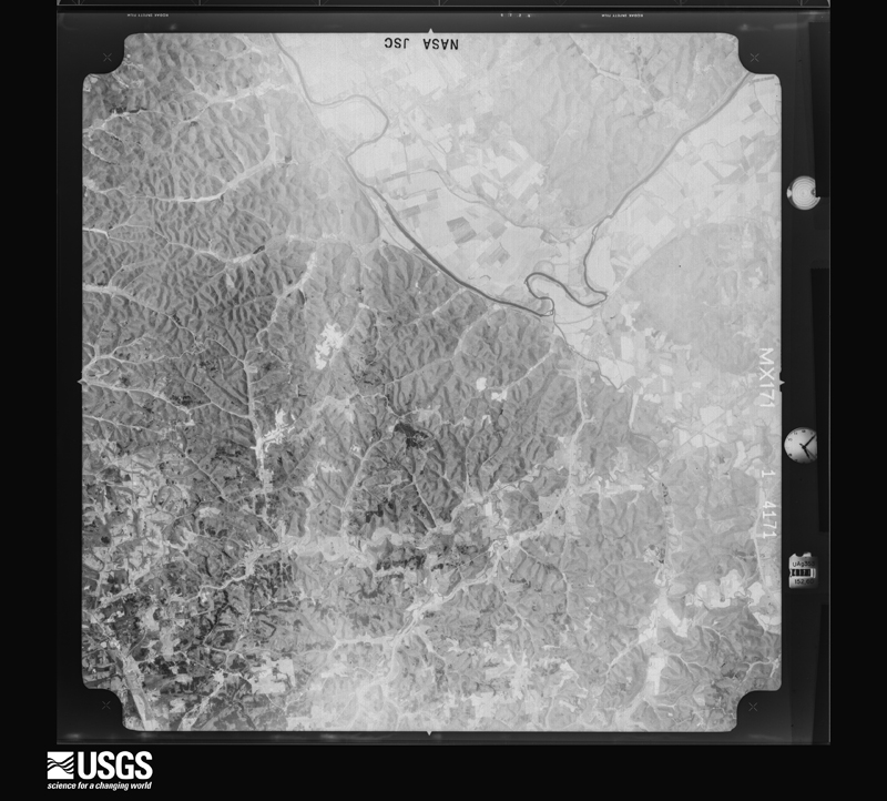
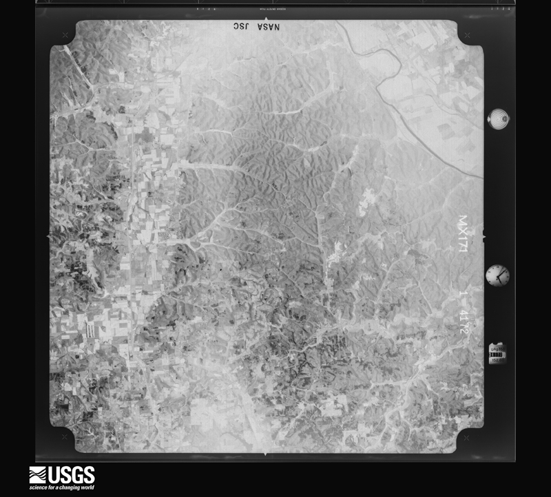
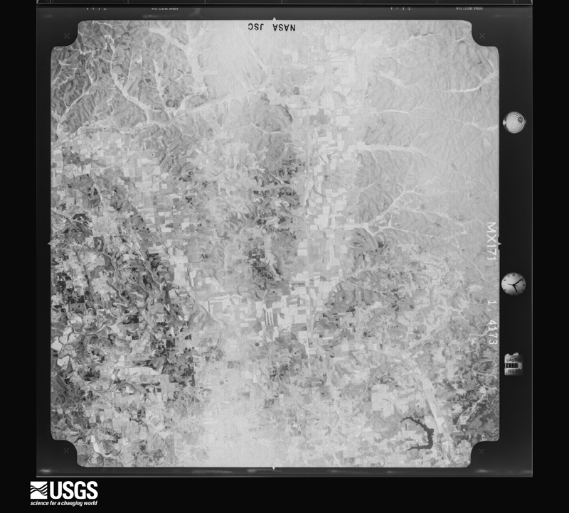
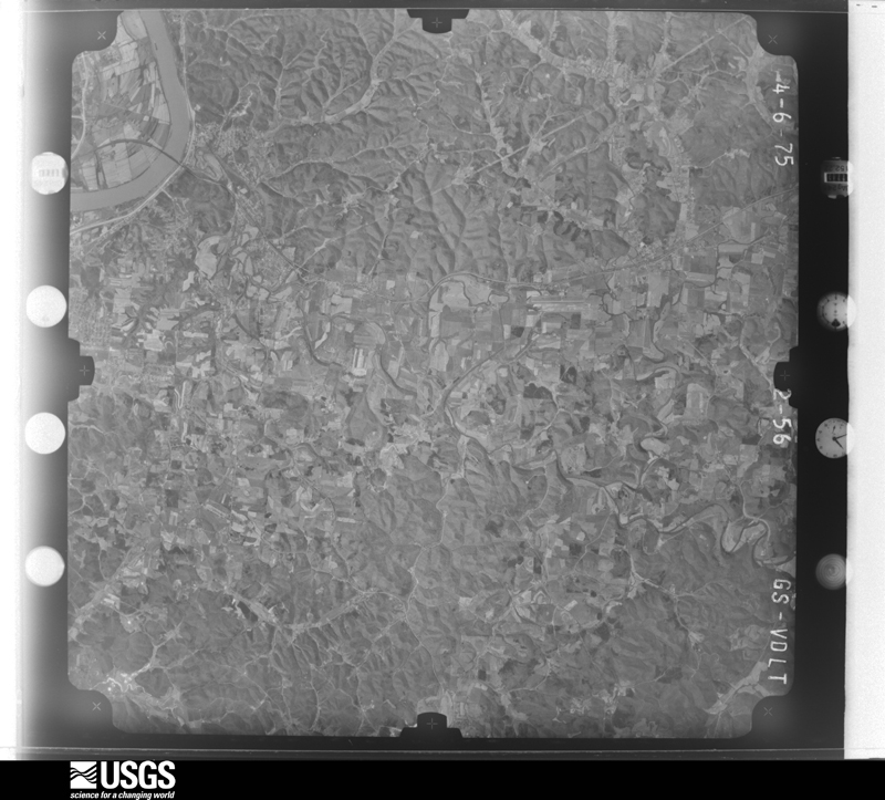
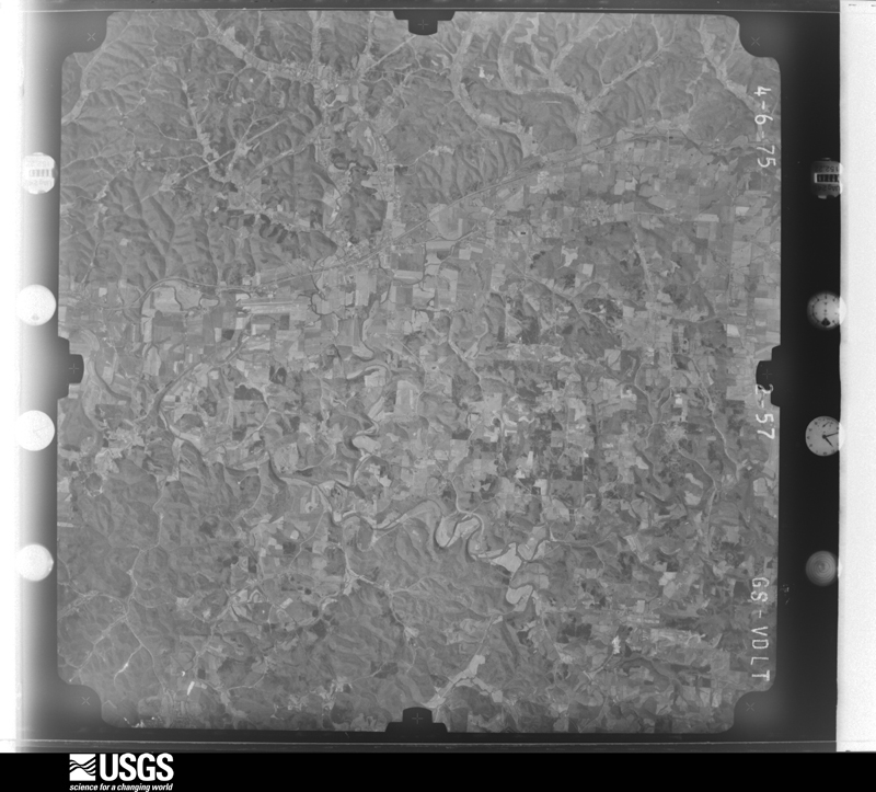
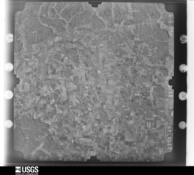
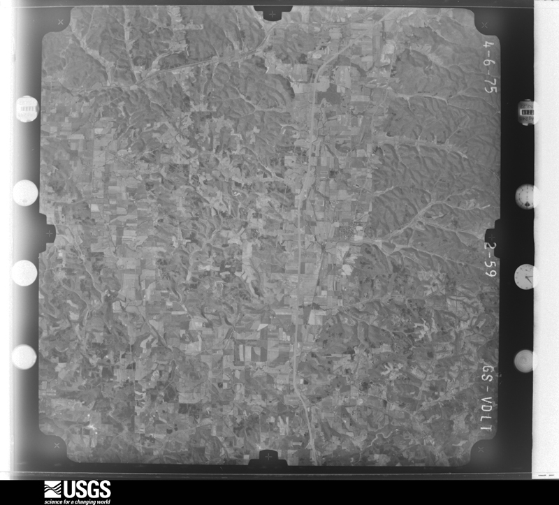
The county from the air
16 of 492 shown
Flown by the U.S. Geological Survey
between 1937 and 1989, the Aerial Photo Single Frames collection is
the definitive mid-century view of the land: fields, roads and rivers
as the camera saw them. 492 frames touch this county; the
selection below spreads across the decades of flights (at most four
per year), so one flight cannot crowd out the rest. The full set is
free to browse and download at
EarthExplorer under the dataset Aerial Photo Single
Frames.
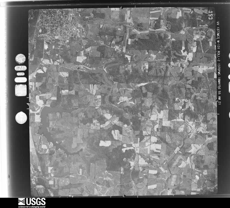
1956-05-18, scale 1:30000. U.S. Geological Survey aerial photograph.1956-05-18, scale 1:30000. U.S. Geological Survey aerial photograph.1956-05-18, scale 1:30000. U.S. Geological Survey aerial photograph.1956-05-18, scale 1:30000. U.S. Geological Survey aerial photograph.1960-04-22, scale 1:28000. U.S. Geological Survey aerial photograph.1960-04-22, scale 1:28000. U.S. Geological Survey aerial photograph.1960-04-22, scale 1:28000. U.S. Geological Survey aerial photograph.1960-04-22, scale 1:28000. U.S. Geological Survey aerial photograph.1971-04-16, scale 1:99228. U.S. Geological Survey aerial photograph.1971-04-16, scale 1:99228. U.S. Geological Survey aerial photograph.1971-04-16, scale 1:101580. U.S. Geological Survey aerial photograph.1971-04-16, scale 1:101580. U.S. Geological Survey aerial photograph.1975-04-06, scale 1:78000. U.S. Geological Survey aerial photograph.1975-04-06, scale 1:78000. U.S. Geological Survey aerial photograph.1975-04-06, scale 1:78000. U.S. Geological Survey aerial photograph.1975-04-06, scale 1:78000. U.S. Geological Survey aerial photograph.
City directories
2 volumes
The "who lived here, by year" answer:
pre-1929 public-domain directory volumes naming the county's people,
machine-read and searchable as text.
The thermometers that kept this
county's weather, and the gages that watched its rivers, as the
federal records hold them. The extremes below are measured values
from those records, not estimates.
THURMAN1893 to 1917, hottest 40.0 C, coldest -35.6 C
JACKSON 3 NW1914 to 2026, hottest 40.0 C, coldest -33.3 C
Who lived here in 1950, one enumeration
district at a time, as the Census Bureau described each district.
Each row opens its official National Archives result, with Population
Schedules and ED Maps available there.
40-7Oak Hill village, comprising parts of Jefferson and Madison townships: Oak Hill village - That part in Jefferson township
40-8Oak Hill village - That part in Madison township
40-9Jefferson township, outside Oak Hill village Jefferson township - That part north of State Hwy. 279, outside Oak Hill village
40-10Jefferson township - That part south of State Hwy. 279, outside Oak Hill village (Remainder of Jefferson township is in Oak Hill village)
40-11Liberty township: Liberty township - That part north of the section line from the northeast corner of Section 24, Township 7, Range 19 to the northwest corner of Section 24, Township 7, Range 20
40-12Liberty township - That part south of the section line from the northeast corner of Section 24, Township 7, Range 19 to the northwest corner of Section 24, Township 7, Range 20
40-13Lick township: Jackson city: Jackson city - That part of Ward 1 Bounded by South, Church, Pearl, South; East Main; City limits; Burlington, Huron, Dickson
40-14Jackson city - That part of Ward 1 Bounded by South, Portsmouth, Pearl; Church, South, Dickason, Huron, Burlington; City limits; High
40-15Jackson city - That part of Ward 2 Bounded by City limits; City limits, Ward line; Ward line, Locust, Pearl; Bridge, Chillicothe
40-16Jackson city - That part of Ward 2 Bounded by City limits; Chillicothe; Wood Ave.; City limits
40-17Jackson city - That part of Ward 2 Bounded by Wood Ave.; Chillicothe, Bridge; State; High
40-18Jackson city - That part of Ward 3 Bounded by Ward line, City limits; City limits; Baltimore and Ohio Railroad, Harding Ave., Pearl; Locust, Ward line
40-19Jackson city - That part of Ward 3 Bounded by Harding Ave., Baltimore and Ohio Railroad; City limits; City limits; East Main, South, Pearl
40-20Jackson city - That part of Ward 4 Bounded by State, Bridge; Pearl, Portsmouth; South; High
40-21Jackson city - That part of Ward 4 Bounded by Wood Ave.; High; State; City limits
40-22Jackson city - That part of Ward 4 Bounded by State; High; City limits; City limits
40-23Lick township - That part outside Jackson city
40-24Madison township - That part outside Oak Hill village (Remainder of Madison township is in Oak Hill village)
40-29Wellston township, coextensive with Wellston city: Wellston city - That part of Ward 1 Bounded by City limits; City limits; Second, Massachusetts Ave., B; Railroad Ave., Ward line
40-30Wellston city - That part of Ward 1 Bounded by B, Massachusetts Ave., Second; City limits; Ward line, 5th, Connecticut Ave., 4th; Railroad Ave.
40-31Wellston city - That part of Ward 2 Bounded by City limits; Ward line, Railroad Ave.; Broadway; City limits
40-32Wellston city - That part of Ward 2 Bounded by Broadway; Wisconsin Ave., 4th, Missouri Ave.; Ward line; City limits
40-33Wellston city - That part of Ward 2 Bounded by Broadway; Railroad Ave.; 11th; Missouri Ave., 4th, Wisconsin Ave.
40-34Wellston city - That part of Ward 3 Bounded by 4th, Connecticut Ave., 5th, Ward line; City limits; Ward line; Massachusetts Ave.
40-35Wellston city - That part of Ward 3 Bounded by 4th; Massachusetts Ave.; Ward line; Railroad Ave.
40-36Wellston city - That part of Ward 4 Bounded by Ward line; City limits; City limits; Pennsylvania Ave.
40-37Wellston city - That part of Ward 4 Bounded by Ward line, 11th; Railroad Ave., Ward line, Pennsylvania Ave.; City limits; City limits
Businesses named in the atlases
59 businesses
Every Sanborn volume opens with a printed index
naming the town's mills, tanneries, hotels and works by proprietor. Those
indexes were read off the scanned sheets by machine and then matched to each
other, so a business surveyed four times appears here once, with the years it
survived. 15 of these 59 were named in more than one atlas. Each carries a
crop of the line it was read from: the spelling is the recogniser's and the
1880s lithographer's, and the scan behind it is the proof.
Every wildfire the federal occurrence
database records inside this county: 232 of them, burning about
921 acres. 2 started naturally and 22 were
recorded as arson. Each settlement page carries the fires within five
miles of it.
Reported cause
Fires
Debris and open burning
119
Missing data/not specified/undetermined
67
Arson/incendiarism
22
Equipment and vehicle use
8
Smoking
5
Recreation and ceremony
3
Power generation/transmission/distribution
3
Natural
2
Misuse of fire by a minor
2
Fireworks
1
The five largest, by the area the report
gives. Three of them were set deliberately.
Date
Cause
Size
Reported by
Name on the report
12 April 2006
Missing data/not specified/undetermined
128 acres
Ohio Department of Natural Resources
JACKSON FURNACE
13 July 2012
Missing data/not specified/undetermined
100 acres
Ohio Department of Natural Resources
not named
5 November 2008
Missing data/not specified/undetermined
72 acres
Wayne National Forest
DIAMOND HOLLOW
7 November 1994
Arson/incendiarism
35 acres
Wayne National Forest
not named
26 October 2012
Arson/incendiarism
35 acres
Wayne National Forest
OLD CROW
8 February 2015
Arson/incendiarism
27 acres
Ohio Department of Natural Resources
221
17 April 2016
Debris and open burning
26 acres
Ohio Department of Natural Resources
4571
1 April 2014
Missing data/not specified/undetermined
25 acres
Ohio Department of Natural Resources
not named
Every settlement page carries the fires within five
miles of it - see the settlement index below.
Storms, 1965 to
2026
60 of 258 shown
The
NOAA Storm Events Database holds
258 reports for this county, causing 0 deaths,
4 injuries and about $20,244,000 in recorded property damage.
Each settlement page carries the reports that name it.
Kind of event
Reports
Thunderstorm Wind
134
Hail
62
Flash Flood
31
Flood
20
Tornado
6
Heavy Rain
4
Funnel Cloud
1
The most serious of them, by death, then
injury, then recorded damage. The accounts are quoted exactly as the
forecast office filed them.
The emergency manager summed the event by saying, we had roads, bridges, culverts, everything with high water, and so many responders in rescue boats.||The Little Salt Creek basin was hard hit around the town of Jackson. Several homes were surrounded by water knee deep in the town of Jackson, plus in the villages of Oak Hill and Coalton. Basements were flooded. One resident had 3 feet of mud in their basement, saying, it occurred all in just 10 minutes. The resident said they had seen flooding, but nothing like this. Firefighters and deputy sheriffs evacuated about 100 people from their homes. One hard hit area was an apartment complex on Huron Street in the town of Jackson. One resident said, it got into our home very fast, flooded our vehicles, and we had no way out.' A number of folks were stranded in flooded vehicles too. The county reported over 65 water rescues. Temporary shelters were opened at the Oak Hill firehouse and a church in Jackson. The state of Ohio reported 40 homes had major damage and 35 homes had minor damage. Eleven businesses had minor damage.
Scattered locations throughout the county had large trees and branches blown down. Around 8,000 customers lost electric power. Even a nursing home facility did not have power restored until 4 days after the storm.||Damage assessment across the county included 2 homes destroyed and 2 with major damage. The public infrastructure damage assessment was around $600.000.
Many roads became impassable. Water rescues from vehicles occurred around the communities of Coalton and Oak Hil. Evacuations occurred in the town of Jackson. Water collected in yards and around homes. Most of the damage reported to the county involved its road system. A few small roads had culverts washed out. Some of the flooded streams included Salt Lick and Four Mile.
Many roads were impassible. Several water rescues occurred from stalled vehicles. A woman was stranded in a park by high water and was rescued by boat. Businesses in the community of Jackson saw urban runoff get inside. This included the state motor vehicle registration building on Huron Street. Condominiums were also flooded on Huron Street.
Barns and shell storage buildings with corrugated metal roofing were damaged. One side of a slanted roof to a cinder block building was blown off. The damage was east of Oak Hill, along Moriah Road and Route 279. Power poles were also brought down by fallen trees.
The sheriff reported 20 roads flooded by small streams. A 300 acre freshwater impoundment near Oak Hill spilled over the dam, taking some rocks with it. Water came through the emergency spillway as it was designed. About 160 tons of limestone was trucked in, to reinforce the 15 foot dam. A state official said, "it was a catastrophic rainfall."
An EF0 tornado, with a maximum estimated wind speed of 85 mph, touched down across the northern portion of James A. Rhodes Airport near Jackson. It damaged a hanger, including bending some of the metal roof and an overhead door. One single engine aircraft was pushed 30 feet and flipped onto a car, and another was pushed about 60 feet and suffered a landing gear collapse. Several large trees were also snapped. Several videos of the tornado were recorded by bystanders.
Numerous locations in Jefferson Township had uprooted trees or the tops of the trees snapped off. Funneling of the wind through the valleys exposed to the northwest, or across nearby open areas, enhanced the wind. From the damage surveyed, gusts were estimated between 60 and 70 mph by the National Weather Service survey team. One concentration of tree damage was near the intersection of Four Mile Road and Dark Hollow Road. Another area of tree damage was along Dan Davis Road near Hewitt Run. At one resident's home along Dan Davis Road, fallen trees damaged their pickup truck and car. Along Franklin Valley Road, a resident's flag pole was bent by the wind, while a flag was flying. At least one home along Jackson Lake State Reserve was damaged by fallen trees.
Trees were knocked down along Beaver Pike and around Hammertown Lake. Furniture blew through one window of a house. At least one house sustained roof damage.
Rains of 2 to 3.5 inches fell from the community of Jackson on north, toward the Vinton County border. The cooperative observer at Jackson measured 3.3 inches of rain. Many roads were closed by overflowing streams. No reports of flooding in dwellings were received.
A weak tornado touched down for a short time along route 32/124. One outbuilding was destroyed, roof damage occurred to several buildings and some trees were downed.
A tornado touched down near Mount Zion Road where some minor tree damage occurred and swirl patterns were found in a hay field. The tornado tracked northeastward across State Route 139 where tree damage occurred and an outbuilding was damaged. It continued to skip along causing intermittent tree damage in neighborhoods north of State Route 32. The tornado knocked a tree down onto a vehicle at Hope Haven School then snapped or uprooted several trees, some onto vehicles, behind Rowdy's Smokehouse. This is where the tornado reached maximum EF1 intensity with winds estimated up to 90 miles per hour. ||The tornado then crossed Main Street, ripped a portion of the roof of of the Tractor Supply building, flipped over a parked semi trailer in the parking lot and then caused roof damage to buildings in the Senior Village. Some minor tree damage was then noted to the east of US-35 along Pattonsville Road where the tornado path ended.||This was the 8th known tornado in Jackson County and the 2nd so far this year.
Multiple trees were blown down in the town of Jackson, some of which fell onto vehicles. Structural damage to commercial and residential buildings were observed, including roof damage in the southern part of the city along and near Route 93, just north of Route 124.
Numerous areas of damage were observed along Route 124 in the vicinity of a hospital south of the town of Jackson. The damage included numerous downed trees and power lines, sections of roofs peeled off, and semi-trucks that were flipped over.
A tornado formed along Erwin Hollow Road where several hardwood trees were snapped and uprooted. The tornado then moved northeast over a thick forest of mixed pine and hardwood trees between Erwin Hollow Road and Roberts Road where drone footage showed an extensive area of leveled hardwood trees and EF2 intensity was obtained. The drone footage and ground surveys then showed that the tornado weakened and the path became intermittent as it crossed Roberts Road, where a house was damaged when a tree fell on it. The last damage was noted along Oakland Road where several large pine trees were uprooted or snapped.
Localized rains of 2 to 3 inches likely fell in about 2 hours from a small cluster of training thunderstorms. Street flooding occurred from full culverts and drainage pipes. Water damaged carpet at the middle school.
Sections of pavement were washed off of Lesmil Road near the Jackson County and Vinton County line. A car was also stranded in high water along Lesmil Road.
A path of wind damage occurred in Coalton. The peak wind gust was estimated at 65 to 70 mph by a National Weather Survey team. The path started around the intersection of Route 93 and Wellston Street, then went northeast across Railroad and Exline Streets. The quarter mile path ended around O'Neal and Tank Hill Streets. A few large trees were uprooted. Several tree trunks 6 to 12 inches in diameter were snapped. A few structures had minor roof damage from falling branches.
Several roads were closed by stream flooding, mostly in the eastern part of the county. A few examples were Keystone Furnace Road, Antioch Road, Moriah Road, and Cherry Fork Road. No structures were flooded.
The Survey's mineral resources record
lists 15 workings inside this county. 5 still
produce and 10 are closed or unrecorded. Each settlement
page carries the workings within five miles of it.
Commodity
Workings
Fire Clay (Refractory)
4
Stone, Crushed/Broken
3
Limestone, General
2
Clay
2
Sand and Gravel, Construction
2
Aluminum, Titanium, Silica, Iron
1
Chromium
1
The least common of them first, because a
county's hundredth gravel pit says nothing its first ten did not.
Museum specimens collected inside this
county and catalogued with a date and a place: 1,496 of them, by
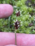
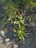
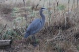
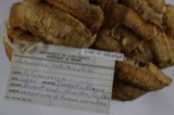
kingdom 709 animalia, 616 plantae, 165 fungi, 3 unrecorded, 3 protozoa. Each is a physical object in a named collection, not a
sighting. Held by NY, MSU, Ohio State University - Fish Division, Columbus, OH (OSUM), F, CINC, Ohio State University - Bird Division, Columbus, OH (OSUM) among others, and each settlement page carries
the specimens collected near it.
The oldest of them. A specimen proves
something was collected on that day; its absence proves nothing.
A History of Jackson County, Ohio devotes a chapter to each township:
its boundaries and streams, who settled it and when, the mills, the
schools and the churches. All 3 are reproduced here in full. Each row
shows the township's own shape and where it lies in the county, drawn from
the Census Bureau's boundary. Which settlements belong to which township
is computed from that same boundary, not taken from the book.
Everyone A History of Jackson County, Ohio stops to write about, with
the section that describes them. Among them are the men who founded the
place and governed the Territory. Each name opens the passage itself, in
the words of 1900.
Named settlements recorded in the Geographic Names
Information System, each with the topographic sheets covering it. Villages,
hamlets and abandoned places alike. Each is shown with the watercourse or
landform it stands on and the survey quadrangle it falls on. The 3
places that were also surveyed for fire insurance come first, with the
number of atlases and photographs held for them.
The complete index, with nothing left out.
Each of these is a separate record with its own page: a federal survey
report, or the case file that argued a property on to the National
Register. Both are public domain and reproduced word for word.
Topographic sheets. USGS Historical Topographic Map Collection, county index, measured from the bulk metadata.
Fire insurance maps. Library of Congress Sanborn collection, faceted to this county.
Photographs. Each place queried individually against the Library of Congress Prints and Photographs search.
Wildfire. Short, Karen C. 2022. Spatial wildfire occurrence data for the United States, 1992-2020 [FPA_FOD_20221014]. 6th Edition. Fort Collins, CO: Forest Service Research Data Archive. https://doi.org/10.2737/RDS-2013-0009.6 Collected with United States Government funding and usable without additional permissions or fees.
Specimens. Global Biodiversity Information Facility (GBIF), https://www.gbif.org/. Only records licensed CC0 or CC BY are used. Records licensed CC BY-NC are excluded because this site carries advertising. Images are checked individually and any whose licence is non-commercial, no-derivatives or unreadable is refused.
Mines and quarries. USGS Mineral Resources Data System (MRDS) https://mrdata.usgs.gov/mrds/ A work of the United States government, no copyright under 17 U.S.C. 105.
Storms. NOAA National Centers for Environmental Information, Storm Events Database https://www.ncei.noaa.gov/stormevents/ A work of the United States government, no copyright under 17 U.S.C. 105. Narratives are quoted verbatim from the National Weather Service report and are not edited or summarised.
 Block
Block