Photographs from the nomination case file, National Park Service records.
New Salem Academy
Listed on the National Register of Historic Places in
1978. A historic map-sheet match is not published yet. The record needs a coordinate-quality review before it can be joined to a sheet boundary.
From the record
one of 28 National Register listings in Franklin County · listed in 1978 · category: Building · one of 1 National Historic Landmarks in Franklin County.
National Register reference number.78000443- the number the National Park Service assigned this property when it was listed, and the key its nomination file is catalogued under at the National Archives.
Fires near this property
16 since 2016
Regional context, not property-specific
evidence. The
federal wildfire occurrence database
lists 16 fires within 5 miles of New Salem Academy between
2016 and 2020, burning about 8 acres in total. 1 started naturally. None was recorded as arson.
Distance is straight-line from the map coordinates, so a fire counted
here may appear on a neighbouring settlement's page as well.
Reported cause
Fires
Debris and open burning
13
Power generation/transmission/distribution
1
Misuse of fire by a minor
1
Natural
1
The most recent of
them, most recent first, with the day each was reported and the service
that recorded it.
Regional context, not property-specific
evidence. Museums hold 3,580 specimens
collected within 10 miles of New Salem Academy between 1856 and
1975: 3,032 Animalia, 285 Plantae, 258 Fungi, 3 Protozoa, 1 Unrecorded, 1 Chromista. 12 distinct Species records are shown.
Collected by A. C. Smith, A. Cronquist, A. K. Harrison and others. Each is a
physical object with a catalogue
number, and each entry opens the museum's record. This is what was
collected and kept, not a survey of what lives here - nothing can be
concluded from a species being absent.
Regional context, not property-specific
evidence. The federal mineral resources record lists
4 workings within 5 miles of New Salem Academy: 2 occurrences, 1 past producer, 1 producer.
1 still produces. What was taken out: Sand and Gravel, Construction, Gemstone, Garnet, Garnet. Distance is straight-line from the
map coordinates, so a quarry counted here may appear on a neighbouring
settlement's page as well.
Regional context, not property-specific
evidence. The National Weather Service names
New Salem, the town this property stands in, in 14 storm reports between 1994 and 2021: 7 hail, 6 thunderstorm wind, 1 lightning.
No death or injury is recorded in these reports. Each account below is quoted exactly as the forecast office
filed it, from the NOAA Storm Events Database, and each date
opens the federal record of that event.
A spotter reported dime-size hail in southeast Franklin County. As the storm moved east, there were numerous reports of small hail and wind gusts to 30 to 40 mph from near the Quabbin Reservoir, Templeton, Stoneham, Wakefield, and Lowell.
No historic map-sheet match is published
for this property yet. That does not mean no map exists. This record needs
a coordinate-quality review before it can be joined to a sheet boundary.
Browse the county's mapped places while that work is
pending.
From the nomination file
8,935 words on record
When this property was proposed for the
National Register, someone wrote the case for it: what the building is,
and why it matters. That document is a federal record in the public domain.
It is quoted below word for word, never summarised. The text was read off the scanned case file by machine, so the
occasional stray character is the recogniser's and the 1970s
typewriter's.
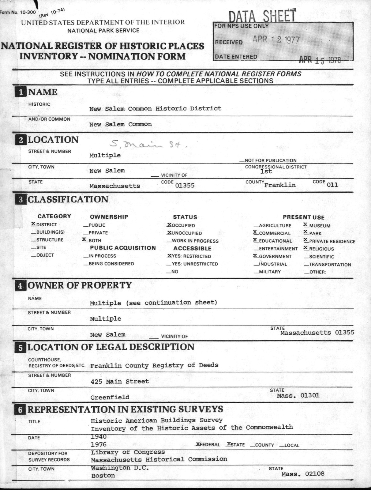
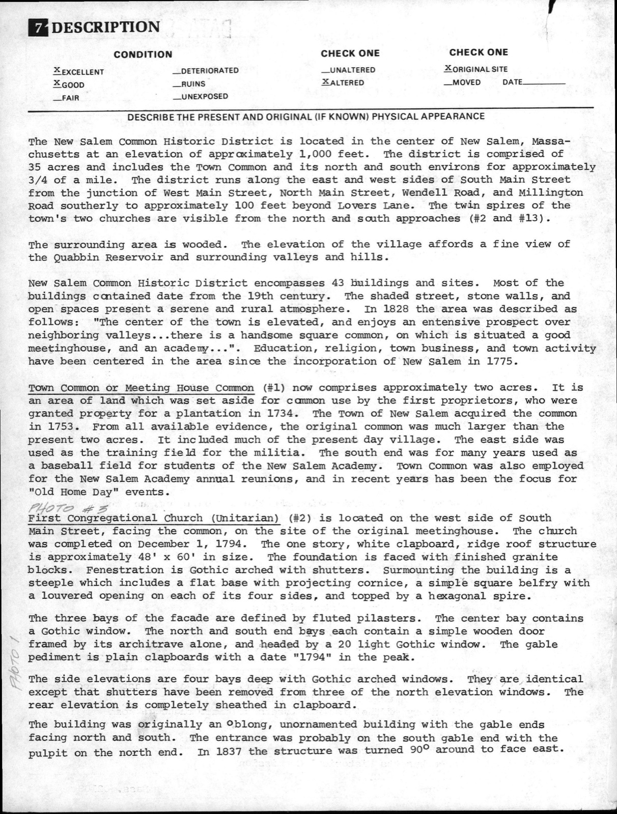
Description of the property
The New Salem Common Historic District is located in the center of New Salem, Massa- chusetts at an elevation of appraximately 1,000 feet. The district is comprised of 35 acres and includes the Town Common and its north and south environs for approximately 3/4 of a mile. The district runs along the east and west sides of South Main Street from the junction of West Main Street, North Main Street, Wendell Road, and Millington Road southerly to approximately 100 feet beyond Lovers Lane. The twin spires of the town's two churches are visible from the north and south approaches (#2 and #13). The surrounding area is wooded. The elevation of the village affords a fine view of the Quabbin Reservoir and surrounding valleys and hills.
New Salem Common Historic District encompasses 43 buildings and sites. Most of the buildings contained date from the 19th century. The shaded street, stone walls, and open spaces present a serene and rural atmosphere. In 1828 the area was described as follows: "The center of the town is elevated, and enjoys an entensive prospect over neighboring valleys...there is a handsome square common, on which is situated a good meetinghouse, and an academy...". Education, religion, town business, and town activity have been centered in the area since the incorporation of New salem in 1775. Town Common or Meeting House Common (#1) now comprises approximately two acres. It is an area of land which was set aside for canmon use by the first proprietors, who were granted property for a plantation in 1734.
The Town of New Salem acquired the common in 1753. From all available evidence, the original common was much larger than the present two acres. It included much of the present day village.
/ARCHITECT STATEMENT OF SIGNIFICANCE The New Salem Common Historic District is significant bacause it reflects a continuity in the town's history from its first settlement to present. The district illustrates various facets of the town's history through the interelationships between the buildings, sites, residents, and occupations. This rural Franklin County district is situated on land granted to residents of Salem in 1734. The first settler arrived in 1737. After the Revolution, agriculture and lumbering fdourished, By 1820 New Salem had a population of 2,146. State coaches running between Brattleboro and Worcester made the town a trade center. With the building of railroads, however, it was gradually isolated, and its population decreased rapidly.
Significant properties range in age from the 1794 First Congregational Church (Unitarian) to the 1939 WPA constructed Town Hall. The area includes the Town House built with surplus revenues from the Andrew Jackson Administration, the 1909 factory built for the construction of the T & F Cycle car, the buildings for the New Salem Academy, and the 18th Century Town Pound. Through a series of misfortunes, much of the town's recorded and architectural history has been lost. Fires in private homes, the first Academy Building, and the Town House, all before 1837, resulted in the loss of many important recording documents. In 1855 all of the Town Clerk's records were destroyed by fire.
Some information does still exist however, and the historic district represents visible evidence of the town's past in its variance of architectural styles. Town affairs have always been conducted in the area. The First Congregational Church (#2) became Unitarian during the early 1840's. The building was used for a variety of public events: New Salem Academy graduations, local theatricals, the annual reunion, etc.
Quoted from the National Register nomination
for reference 78000443, 39 pages, held by the National Archives in Record
Group 79. See the
catalogue record.
Listed places nearby
3 within 8 miles
Other National Register properties close
enough to walk or drive between, ordered by distance from this one. Both
positions come from the same geocoding pass that matched these properties
to their map sheets.
Listing record. National Park Service National Register of Historic Places, listed-properties dataset, current to 2026-05-22.
Map join. Address geocoded through the United States Census geocoder, then tested against the published boundary of every sheet in the USGS Historical Topographic Map Collection.
How this page is made. Listing fields come from federal records; map-sheet coverage is a labelled coordinate-to-boundary calculation, not a source-field claim.
Wildfire. Short, Karen C. 2022. Spatial wildfire occurrence data for the United States, 1992-2020 [FPA_FOD_20221014]. 6th Edition. Fort Collins, CO: Forest Service Research Data Archive. https://doi.org/10.2737/RDS-2013-0009.6 Collected with United States Government funding and usable without additional permissions or fees.
Specimens. Global Biodiversity Information Facility (GBIF), https://www.gbif.org/. Only records licensed CC0 or CC BY are used. Records licensed CC BY-NC are excluded because this site carries advertising. Images are checked individually and any whose licence is non-commercial, no-derivatives or unreadable is refused.
Mines and quarries. USGS Mineral Resources Data System (MRDS) https://mrdata.usgs.gov/mrds/ A work of the United States government, no copyright under 17 U.S.C. 105.
Storms. NOAA National Centers for Environmental Information, Storm Events Database https://www.ncei.noaa.gov/stormevents/ A work of the United States government, no copyright under 17 U.S.C. 105. Narratives are quoted verbatim from the National Weather Service report and are not edited or summarised.
 Block
Block