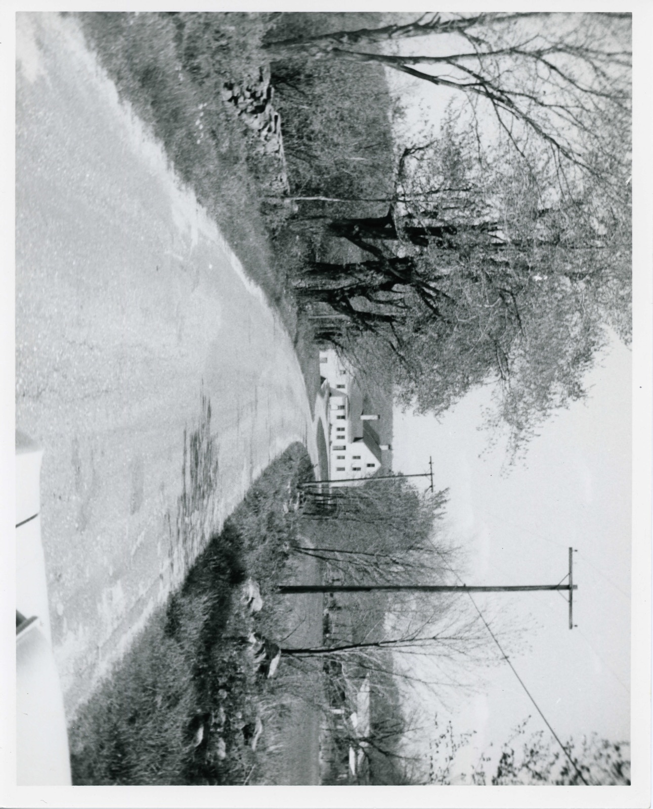
Photographs from the nomination case file, National Park Service records.
Hudson House
Listed on the National Register of Historic Places in
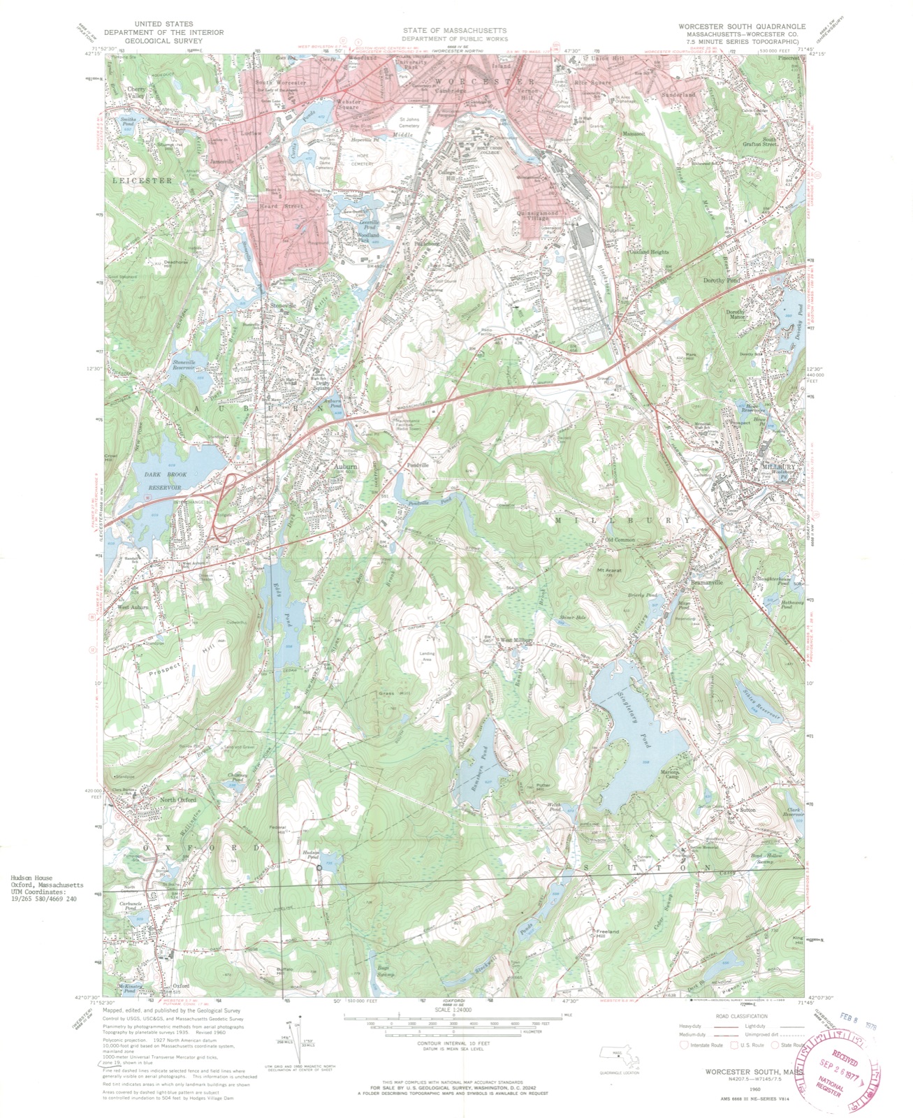
1978. A historic map-sheet match is not published yet. The record needs a coordinate-quality review before it can be joined to a sheet boundary.
From the record
one of 500 National Register listings in Worcester County · listed in 1978 · category: Building · one of 1 National Historic Landmarks in Worcester County.
National Register reference number.78000480- the number the National Park Service assigned this property when it was listed, and the key its nomination file is catalogued under at the National Archives.
Fires near this property
66 since 2015
Regional context, not property-specific
evidence. The
federal wildfire occurrence database
lists 66 fires within 5 miles of Hudson House between
2015 and 2020, burning about 32 acres in total. None started naturally. 4 were recorded as arson.
Distance is straight-line from the map coordinates, so a fire counted
here may appear on a neighbouring settlement's page as well.
Reported cause
Fires
Debris and open burning
19
Missing data/not specified/undetermined
14
Recreation and ceremony
10
Smoking
9
Railroad operations and maintenance
6
Arson/incendiarism
4
Equipment and vehicle use
2
Power generation/transmission/distribution
2
The most recent of
them, most recent first, with the day each was reported and the service
that recorded it.
Regional context, not property-specific
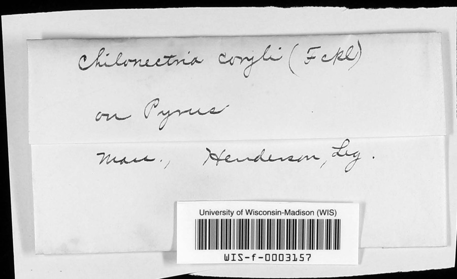
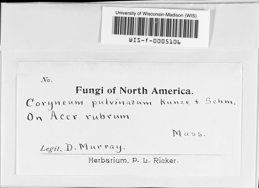
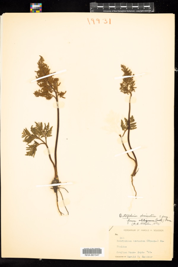
evidence. Museums hold 1,644 specimens
collected within 10 miles of Hudson House between 1839 and
1974: 922 Plantae, 440 Animalia, 249 Fungi, 14 Unrecorded, 13 Protozoa, 6 Chromista. 12 distinct Species records are shown.
Collected by A E WOODHEAD, A. A. Eaton, A. B. Seymour and others. Each is a
physical object with a catalogue
number, and each entry opens the museum's record. This is what was
collected and kept, not a survey of what lives here - nothing can be
concluded from a species being absent.
Regional context, not property-specific
evidence. The federal mineral resources record lists
19 workings within 5 miles of Hudson House: 15 past producers, 2 producers, 2 plants.
4 still produce. What was taken out: Sand and Gravel, Construction, Iron, Titanium, Metal. Distance is straight-line from the
map coordinates, so a quarry counted here may appear on a neighbouring
settlement's page as well.
Regional context, not property-specific
evidence. The National Weather Service names
Oxford, the town this property stands in, in 20 storm reports between 1998 and 2023: 8 thunderstorm wind, 8 flood, 3 hail, 1 funnel cloud.
No death or injury is recorded in these reports. Each account below is quoted exactly as the forecast office
filed it, from the NOAA Storm Events Database, and each date
opens the federal record of that event.
Six inch diameter branches and several large trees were downed by thunderstorm winds in the Hodgesville Dam area of Oxford. Also, two utility poles were damaged. In East Charlton, trees were downed by thunderstorm winds.
No historic map-sheet match is published
for this property yet. That does not mean no map exists. This record needs
a coordinate-quality review before it can be joined to a sheet boundary.
Browse the county's mapped places while that work is
pending.
Named in the fire insurance atlases
Sanborn surveyors printed an index of the
town's establishments at the front of each atlas. This property is named in
one, read straight off the scanned sheet.
When this property was proposed for the
National Register, someone wrote the case for it: what the building is,
and why it matters. That document is a federal record in the public domain.
It is quoted below word for word, never summarised. The text was read off the scanned case file by machine, so the
occasional stray character is the recogniser's and the 1970s
typewriter's.
Description of the property
The Hudson House is located on Hudson Road in Oxford. The nominated property consists of a ½ acre lot immediately surrounding the house. The encircling property includes a forty year old barn directly south of the house and the large Hudson Pond situated east of the house. Extensive fields north, northeast of the house are bordered by Federal Hill Road to the west. The stonewalls lining both sides of Hudson Road were built by the Hudson family. The house sits on flat land and is encircled by flat farmland and swampy areas. Fields south of the house may be The Hudson House was built in 1720 by William Hudson. It is a 2½ story, ridge roof structure with a one story, ridge roof ell and attached barn/shed extending from its rear (north) elevation.
There is a central chimney on both the main house and the ell. The entire structure is sheathed in clapboards with plain corner boards and water table. Fenestration is 6/6. The symmetrical five bay wide facade faces south. The center entrace is a six panel wooden door flanked by sidelights with a panel below and headed by a wide, flat en- tablature. The windows and door are framed by louvered shutters. The west elevation of the house is two bays deep with a single window in the gable end above. There is a plain wooden door located at the northern end of the elevation. The west elevation of the ell is five bays deep with a projecting entryway at the second bay on the northern end. The attached barn/shed is two stories, with the first story below the grade of the remainder of the structure.
The west elevation has an entrance at ground level topped by two windows on the second level.
/ARCHITECT William Hudson The Hudson House is significant for its condition and original architectural character. It is also significant for its continued use as a working farm and as a property which remained in the Hudson family's ownership for 242 years. The house was built in 1720 by William Hudson, one of the thirty original English settlers of Oxford. The land grant for the Hudson property was made in 1713, at the time of settlement. The Hudsons were involved in local politics and with the organization of town militia in the 1740's. Because the farm is isolated, it was often the scene of Indian/settler conflict. Once the Hudson family was forced to abandon the house for two weeks and take refuge in the nearest garrison house.
The Hudson House is the oldest surviving building in Oxford and remained in the Hudson family until 15 years ago. The land has been farmed for 263 years, and the property is of importance to the town as the sole survivor of the town's settlement. The property remains a classic example of a self-sufficient colonial New England farm.
Quoted from the National Register nomination
for reference 78000480, 11 pages, held by the National Archives in Record
Group 79. See the
catalogue record.
Listed places nearby
6 within 8 miles
Other National Register properties close
enough to walk or drive between, ordered by distance from this one. Both
positions come from the same geocoding pass that matched these properties
to their map sheets.
Listing record. National Park Service National Register of Historic Places, listed-properties dataset, current to 2026-05-22.
Map join. Address geocoded through the United States Census geocoder, then tested against the published boundary of every sheet in the USGS Historical Topographic Map Collection.
How this page is made. Listing fields come from federal records; map-sheet coverage is a labelled coordinate-to-boundary calculation, not a source-field claim.
Wildfire. Short, Karen C. 2022. Spatial wildfire occurrence data for the United States, 1992-2020 [FPA_FOD_20221014]. 6th Edition. Fort Collins, CO: Forest Service Research Data Archive. https://doi.org/10.2737/RDS-2013-0009.6 Collected with United States Government funding and usable without additional permissions or fees.
Specimens. Global Biodiversity Information Facility (GBIF), https://www.gbif.org/. Only records licensed CC0 or CC BY are used. Records licensed CC BY-NC are excluded because this site carries advertising. Images are checked individually and any whose licence is non-commercial, no-derivatives or unreadable is refused.
Mines and quarries. USGS Mineral Resources Data System (MRDS) https://mrdata.usgs.gov/mrds/ A work of the United States government, no copyright under 17 U.S.C. 105.
Storms. NOAA National Centers for Environmental Information, Storm Events Database https://www.ncei.noaa.gov/stormevents/ A work of the United States government, no copyright under 17 U.S.C. 105. Narratives are quoted verbatim from the National Weather Service report and are not edited or summarised.
 Block
Block