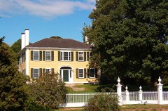
Listed on the National Register of Historic Places in
1978. A historic map-sheet match is not published yet. The record needs a coordinate-quality review before it can be joined to a sheet boundary.
From the record
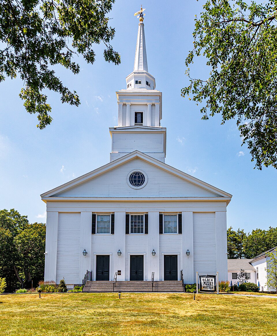
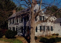
“The First Parish Church is a historic Unitarian Universalist church at Tremont and Depot Streets in Duxbury, Massachusetts. First Parish Church is currently a member congregation of the Unitarian Universalist Association.”
Wikipedia article First Parish Church (Duxbury, Massachusetts), CC BY-SA 4.0.
one of 93 National Register listings in Plymouth County · listed in 1978 · category: Building · one of 1 National Historic Landmarks in Plymouth County.
National Register reference number.78001404- the number the National Park Service assigned this property when it was listed, and the key its nomination file is catalogued under at the National Archives.
These notes should be added here, - Mr. Kent was colleague to Dr. Allyn, but was to all intents pastor from 1826 to 1833, the former being the greater part of this time incapacitated. Mr. Knapp fully supplied the pulpit a number of years before Mr. Moore's death, coming over from Plymouth, where he had a private school, as Mr. Moore became too enfeebled to officiate. After the hitter's death, Mr. knapp continued to fill it, until the society could decide upon a resident minister. This was done in 1882 by the settlement of Mr. Burr. It is a curious fact that in this long list of ministers only three are buried in the town, to any one's knowledge, these being Mr. Wisewall, Dr. Allyn and Mr. Moore. To the first there is a stone in the old burial ground, the second in age within the enclosure, bearing the date of 1700. It is of some significance to the religious inquirer to learn that all the colonial churches of the Old Colony but one turned Unitarian when that movement began early in the last century, namely: Plymouth, Duxbury, Scituate, Cohasset and Hingham, the exception being Marshfield.
A character almost totally unlike the preceding, but which may be thought scarcely less interesting, is that of the subject of this sketch. Mr. Bailey began his life, not as the others in the Old Colony, but among the vine-clad hills of France, and in the French colonies, where he lived until after the Battle of Waterloo, in which he participated as one of Napoleon's officers. Later he came here and settled at the cross-roads, where Tremont, Chestnut, Evergreen and Tobey Garden Streets meet; and this place has since been called Bailey's Corner. He lived in the house now owned by Mr. James H. Peterson, where he brought up a large family of attractive daughters, and a son who now lives in an adjoining house. The latter preserves the sword that was on the world's eventful battlefield of Waterloo, where his father received a saber cut on his head, necessitating the trepanning of his skull and the insertion of a piece of silver, a surgical operation that could not, at that time, have been long practiced. Mr. Bailey's life in Duxbury was as quiet as it had formerly been eventful. He was a cigar-maker by occupation, and carrying his wares to Boston by vehicle must have been his most exciting diversion. He died at his home in 1864.
Regional context, not property-specific
evidence. The
federal wildfire occurrence database
lists 198 fires within 5 miles of First Parish Church between
2015 and 2020, burning about 67 acres in total. 1 started naturally. 3 were recorded as arson.
Distance is straight-line from the map coordinates, so a fire counted
here may appear on a neighbouring settlement's page as well.
Reported cause
Fires
Debris and open burning
124
Missing data/not specified/undetermined
51
Misuse of fire by a minor
13
Arson/incendiarism
3
Recreation and ceremony
2
Smoking
2
Natural
1
Equipment and vehicle use
1
Power generation/transmission/distribution
1
The most recent of
them, most recent first, with the day each was reported and the service
that recorded it.
Regional context, not property-specific
evidence. Museums hold 1,510 specimens
collected within 10 miles of First Parish Church between 1816 and
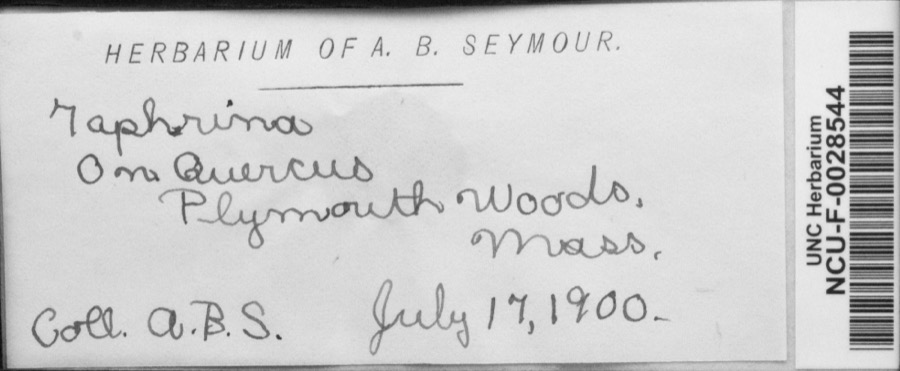
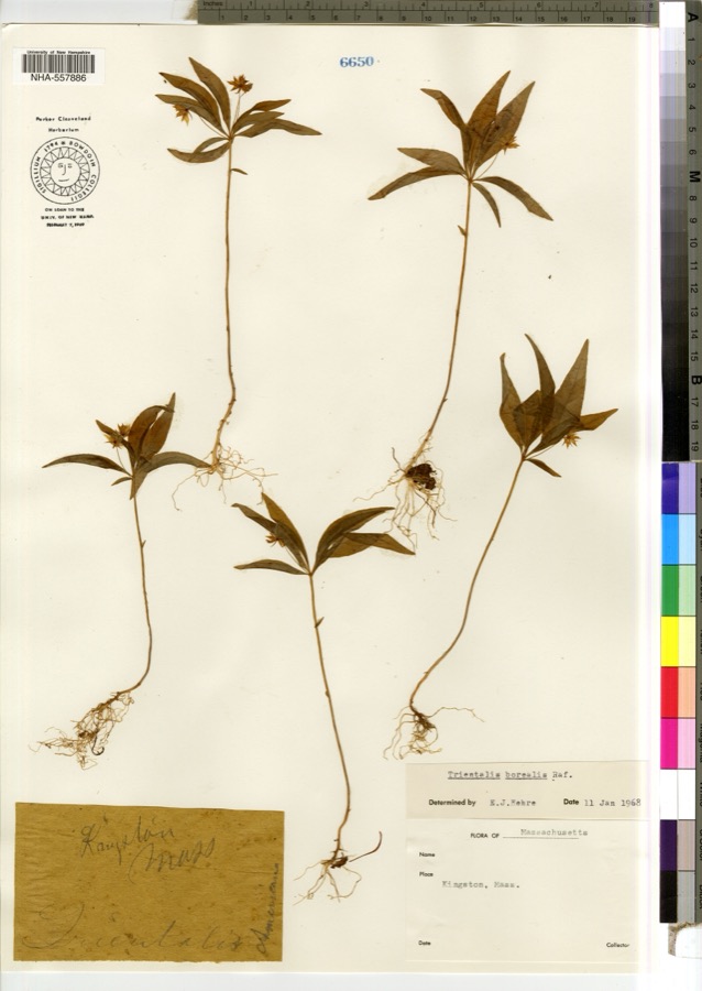
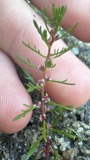
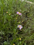
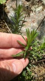
1975: 935 Animalia, 267 Plantae, 167 Fungi, 99 Unrecorded, 28 Chromista, 14 Protozoa. 12 distinct Species records are shown.
Collected by -- Russell, A., A. C. Mathieson and others. Each is a
physical object with a catalogue
number, and each entry opens the museum's record. This is what was
collected and kept, not a survey of what lives here - nothing can be
concluded from a species being absent.
Regional context, not property-specific
evidence. The federal mineral resources record lists
2 workings within 5 miles of First Parish Church: 2 past producers.
None of them still produces. What was taken out: Sand and Gravel, Construction. Distance is straight-line from the
map coordinates, so a quarry counted here may appear on a neighbouring
settlement's page as well.
Regional context, not property-specific
evidence. The National Weather Service names
Duxbury, the town this property stands in, in 14 storm reports between 1997 and 2024: 8 thunderstorm wind, 4 hail, 2 lightning.
No death or injury is recorded in these reports. Each account below is quoted exactly as the forecast office
filed it, from the NOAA Storm Events Database, and each date
opens the federal record of that event.
No historic map-sheet match is published
for this property yet. That does not mean no map exists. This record needs
a coordinate-quality review before it can be joined to a sheet boundary.
Browse the county's mapped places while that work is
pending.
From the nomination file
1,613 words on record
When this property was proposed for the
National Register, someone wrote the case for it: what the building is,
and why it matters. That document is a federal record in the public domain.
It is quoted below word for word, never summarised. The text was read off the scanned case file by machine, so the
occasional stray character is the recogniser's and the 1970s
typewriter's.
Description of the property
First Parish Church is located on Tremont Street and sited back from the road on a small rise. To the south of the church is the Mayflower Cemetery; to the north are the old town offices and the new town office building. The surrounding area is heavily wooded and maintained as a conservation area by the Duxbury Rural and Historical Society. The rectangular plan church is 86' deep, 66' wide with sidewalls 30' high. The steeple is 127' high. The gable of the ridge roof faces east towards the street, and the roof- line is defined by an encircling entablature. and is sheathed in matched board. Bays are defined by the simple wide pilasters. The three central bays contain entrances on the first level. Above these are 12 light sash. An oculus occupies the center of the gable pediment.
entablaturdestned " Level. Ab The five bay wide facade faces east A 3 stage tower rises from the ridge of the roof, set back slightly from the facade. The first stage is 2 telescoping matched board sections, capped on all 4 sides by a shallow triangular pediment. Above this is the second stage which contains the bell. This stage is framed by paired engaged columns and flat pilasters at the corners and topped by an entablature. Above this is an octagonal drum, with small windows on each elevation. The drum steps in to the spire. The side elevations are 4 bays deep and sheathed in clapboards. Long multi-light windows light the interior. The vast interior has no supporting columns due to its inverted framing.
The pristine auditorium is bathed in light and furnished with white wainscotted box pews with mahogany rails. Attached to the church on the north is a large ell-shaped parish house built in 1958.
Statement of significance
/ARCHITECT First Parish Church is significant for its architecture and for its role in the history of Duxbury. The First Church or Meeting House in Duxbury was organized in 1632, signaling the permanence of what had previously been a temporary settlement. With this event, the settlers of the community no longer returned to Plymouth for Sunday services or the winter. The congregation was gathered by Elder William Brewster. Though Brewster was not an ordained minister, he assisted the new group for five years. The first meetinghouse was located on a corner of the old burying ground. The present structure is the fourth meetinghouse of this congregation and the third on this site. It was built in 1840 of native Duxbury pine and was designed to seat one thousand.
The refined architecture, grand size, and handsome finish represent its association with the height of Duxbury's sea-faring wealth. In the Meeting-House bell tower hangs the 1819 town bell for which the town contracted with the Revere Company who sub-contracted the bell to a former Revere apprentice, George Handel Holbrook. During the great Unitarian-Trinitarian split in New England, this congregation became Unitarian. The congregation merged with the Universalist Church in 1961.
Quoted from the National Register nomination
for reference 78001404, 8 pages, held by the National Archives in Record
Group 79. See the
catalogue record.
Listed places nearby
6 within 8 miles
Other National Register properties close
enough to walk or drive between, ordered by distance from this one. Both
positions come from the same geocoding pass that matched these properties
to their map sheets.
Listing record. National Park Service National Register of Historic Places, listed-properties dataset, current to 2026-05-22.
Map join. Address geocoded through the United States Census geocoder, then tested against the published boundary of every sheet in the USGS Historical Topographic Map Collection.
How this page is made. Listing fields come from federal records; map-sheet coverage is a labelled coordinate-to-boundary calculation, not a source-field claim.
Wildfire. Short, Karen C. 2022. Spatial wildfire occurrence data for the United States, 1992-2020 [FPA_FOD_20221014]. 6th Edition. Fort Collins, CO: Forest Service Research Data Archive. https://doi.org/10.2737/RDS-2013-0009.6 Collected with United States Government funding and usable without additional permissions or fees.
Specimens. Global Biodiversity Information Facility (GBIF), https://www.gbif.org/. Only records licensed CC0 or CC BY are used. Records licensed CC BY-NC are excluded because this site carries advertising. Images are checked individually and any whose licence is non-commercial, no-derivatives or unreadable is refused.
Mines and quarries. USGS Mineral Resources Data System (MRDS) https://mrdata.usgs.gov/mrds/ A work of the United States government, no copyright under 17 U.S.C. 105.
Storms. NOAA National Centers for Environmental Information, Storm Events Database https://www.ncei.noaa.gov/stormevents/ A work of the United States government, no copyright under 17 U.S.C. 105. Narratives are quoted verbatim from the National Weather Service report and are not edited or summarised.
 Block
Block