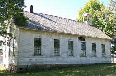
Listed on the National Register of Historic Places in
1978. A historic map-sheet match is not published yet. The record needs a coordinate-quality review before it can be joined to a sheet boundary.
From the record
“The Bethel Methodist Episcopal Church is located west of Pleasant City, Ohio on SR 146. The church was placed on the National Register of Historic Places on November 24, 1978.”
Wikipedia article Bethel Methodist Episcopal Church (Pleasant City, Ohio), CC BY-SA 4.0.
one of 18 National Register listings in Guernsey County · listed in 1978 · category: Building · one of 1 National Historic Landmarks in Guernsey County.
National Register reference number.78002072- the number the National Park Service assigned this property when it was listed, and the key its nomination file is catalogued under at the National Archives.
The ground it stands on
28,382 words
This property stands in Valley Township. History of Hocking Valley, Ohio, published 1883 gives that township a chapter of its own.
The chapter covers the township.
Machine-read from a century-old scan, so
expect the errors a machine makes: misspelled names, dropped words,
stray characters.
Regional context, not property-specific
evidence. The
federal wildfire occurrence database
lists 29 fires within 5 miles of Bethel Methodist Episcopal Church between
2009 and 2020, burning about 59 acres in total. None started naturally. 1 was recorded as arson.
Distance is straight-line from the map coordinates, so a fire counted
here may appear on a neighbouring settlement's page as well.
Reported cause
Fires
Debris and open burning
14
Missing data/not specified/undetermined
9
Smoking
3
Equipment and vehicle use
2
Arson/incendiarism
1
The most recent of
them, most recent first, with the day each was reported and the service
that recorded it.
Regional context, not property-specific
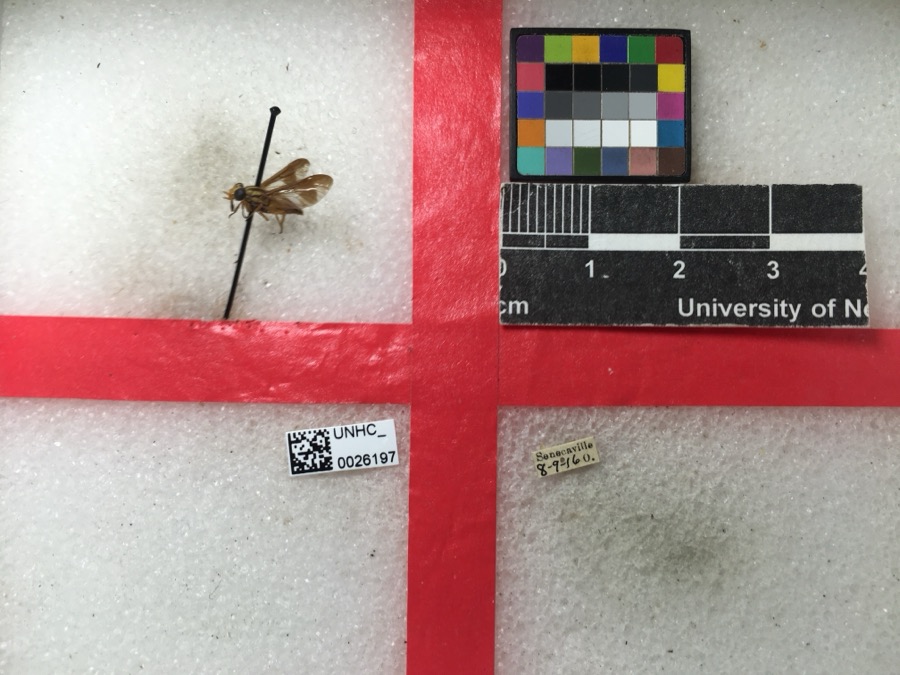
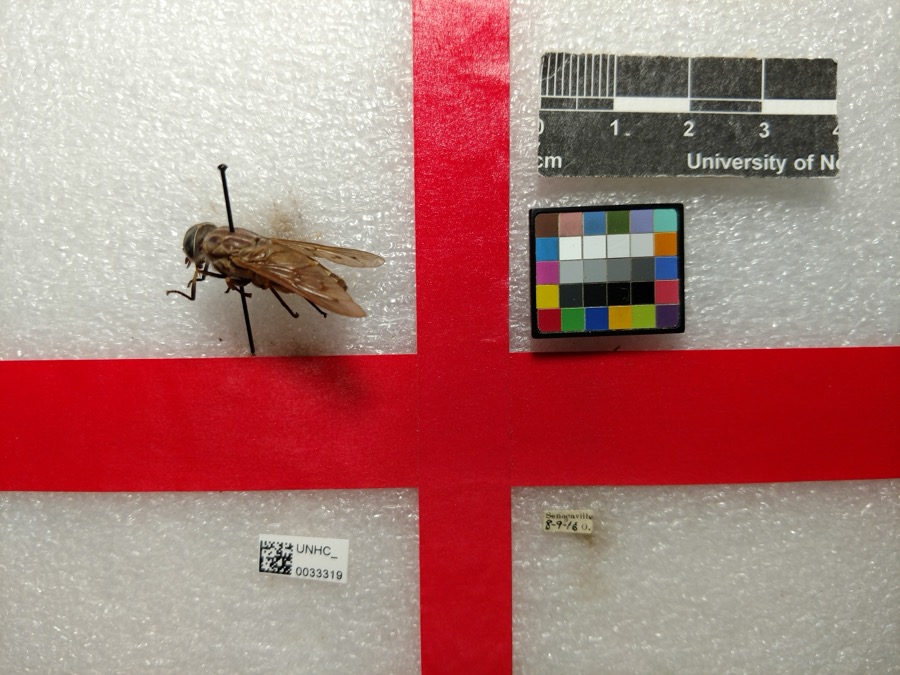
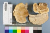
evidence. Museums hold 108 specimens
collected within 10 miles of Bethel Methodist Episcopal Church between 1875 and
1975: 58 Plantae, 48 Animalia, 2 Fungi. 12 distinct Species records are shown.
Collected by Adams, W., Adams, W.; Adams, S., Arrowsmith, D. and others. Each is a
physical object with a catalogue
number, and each entry opens the museum's record. This is what was
collected and kept, not a survey of what lives here - nothing can be
concluded from a species being absent.
Regional context, not property-specific
evidence. The federal mineral resources record lists
1 working within 5 miles of Bethel Methodist Episcopal Church: 1 past producer.
None of them still produces. What was taken out: Clay. Distance is straight-line from the
map coordinates, so a quarry counted here may appear on a neighbouring
settlement's page as well.
Regional context, not property-specific
evidence. The National Weather Service names
Pleasant City, the town this property stands in, in 7 storm reports between 1994 and 2024: 3 flood, 1 thunderstorm wind, 1 hail, 1 heavy rain.
No death or injury is recorded in these reports. Each account below is quoted exactly as the forecast office
filed it, from the NOAA Storm Events Database, and each date
opens the federal record of that event.
No historic map-sheet match is published
for this property yet. That does not mean no map exists. This record needs
a coordinate-quality review before it can be joined to a sheet boundary.
Browse the county's mapped places while that work is
pending.
Named in the fire insurance atlases
Sanborn surveyors printed an index of the
town's establishments at the front of each atlas. This property is named in
one, read straight off the scanned sheet.
When this property was proposed for the
National Register, someone wrote the case for it: what the building is,
and why it matters. That document is a federal record in the public domain.
It is quoted below word for word, never summarised. The text was read off the scanned case file by machine, so the
occasional stray character is the recogniser's and the 1970s
typewriter's.
Description of the property
keystone. At the midpoint of the tower is a second round-arched void which contains Finally, the tower-is capped with a stately open frame steeple, complete with a function- ing bell. Restrained brick buttresses divide the sides of the church into four bays each. with a rounded stone lintel with a keystone, 'similar to the adornment of the front door These windows are probably the crowning touch of the church, for they are of truly has sagged a bit, and a few pieces have been lost. The church is covered by a metal Bethel Cemetery, founded in 1836, the burying ground for the church's founders and CONDITION UNALTERED gable roof.
7DESCRIPTION the church's exterior is the fine single tower which rises from the center bay of Iron grillwork covers several voids in the foundation which allow a certain degree and tower window.As might be expected, some of the sills have deteriorated somewhat. church opens onto a farmed field.Across the highway and just west of the church is magnificent stained leaded glass, far more ornate than those usually found in the country of course, the stained glass windows produce a breathtaking effect on the interior. of rusticated ashlar sandstone, which rises to a height of two stones above ground. many of its subsequent members.
a paneled double door set in a round arch and capped with a rounded lintel with a XEXCELLENT CHECK ONE Every bay contains a tall round-arched window, set on a sandstone sill and capped leaded-stained glass.-The-church's semicircular date stone is set-above this window.
Romanesque Revival building which is continuing.to function in its_current adaptive.use farmer Hugh McCoy's barn, although later they moved to the home of "Uncle Bill" Johnson establishment of a cemetery. A small frame building was built at a cost of $780. This (now State Route 146), adjacent to the cemetery- By the 1870s, the congregation had outgrown its first home and the present brick T.I. Moore, E. A. Robins, and R. I. Shepler. A remodeling project in 1898 cost $2,500, and was directed by Shepler, John H. Robins, B. C. Johnson, A. P.
Fishel and ministers were ordained from the Bethel congregation, one woman served as a missionary finally decided in 1960 to close the Bethel Church, as the congregation was not large three local parishioners formed the Bethel Community Church, Inc., and purchased the 1700-1799 1500-1599 INVENTION COMMERCE LAW ART SIGNIFICANCE ENGINEERING POLITICS/GOVERNMENT ECONOMICS ARCHEOLOGY-HISTORIC SCULPTURE PERIOD SCIENCE X1800-1899 BUILDER/ARCHITECT THEATER TRANSPORTATION PHILOSOPHY AGRICULTURE LITERATURE INDUSTRY MILITARY _COMMUNICATIONS EDUCATION focal point which serves to strengthen and preserve often-disregarded ties to the cultural MUSIC religious, and architectural heritage of southern Guernsey County.
-1600-1699 -EXPLORATION/SETTLEMENT This.fine ecclesiastical edifice derives its primary significance from its J.M.Scott.At this time the church was rededicated by Dr.David H.Moore.Sixteen Valley was the last township in Guernsey County tobe established,having been X.RELIGION for their meetings.In 1836 John Robins (who had emigrated from the Isle of Guernsey in l807) donated land to the congregation for the erection of the church and the as a community center. -1400-1499 -1900- architecture which sets it apart from most of the other-rural churches in this area.
Quoted from the National Register nomination
for reference 78002072, 10 pages, held by the National Archives in Record
Group 79. See the
catalogue record.
Listed places nearby
2 within 8 miles
Other National Register properties close
enough to walk or drive between, ordered by distance from this one. Both
positions come from the same geocoding pass that matched these properties
to their map sheets.
Listing record. National Park Service National Register of Historic Places, listed-properties dataset, current to 2026-05-22.
Map join. Address geocoded through the United States Census geocoder, then tested against the published boundary of every sheet in the USGS Historical Topographic Map Collection.
How this page is made. Listing fields come from federal records; map-sheet coverage is a labelled coordinate-to-boundary calculation, not a source-field claim.
Wildfire. Short, Karen C. 2022. Spatial wildfire occurrence data for the United States, 1992-2020 [FPA_FOD_20221014]. 6th Edition. Fort Collins, CO: Forest Service Research Data Archive. https://doi.org/10.2737/RDS-2013-0009.6 Collected with United States Government funding and usable without additional permissions or fees.
Specimens. Global Biodiversity Information Facility (GBIF), https://www.gbif.org/. Only records licensed CC0 or CC BY are used. Records licensed CC BY-NC are excluded because this site carries advertising. Images are checked individually and any whose licence is non-commercial, no-derivatives or unreadable is refused.
Mines and quarries. USGS Mineral Resources Data System (MRDS) https://mrdata.usgs.gov/mrds/ A work of the United States government, no copyright under 17 U.S.C. 105.
Storms. NOAA National Centers for Environmental Information, Storm Events Database https://www.ncei.noaa.gov/stormevents/ A work of the United States government, no copyright under 17 U.S.C. 105. Narratives are quoted verbatim from the National Weather Service report and are not edited or summarised.
 Block
Block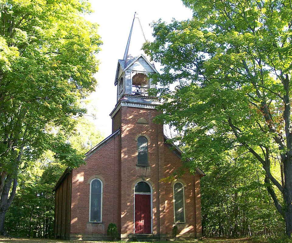


.jpg)