Listed on the National Register of Historic Places in
1979. A historic map-sheet match is not published yet. The record needs a coordinate-quality review before it can be joined to a sheet boundary.
From the record
“Westland township is one of Guernsey county's original townships, hence dates its precinct history from April 23, 1810; its first election for township officers took place in June of that year. It is in the southwestern part of the county, bounded on the west by Muskingum county, on the north by Adams township, on the east by Jackson and Cambridge townships and on the south by Spencer township and Muskingum county and contains twenty-five sections of land, it being five miles square.”
History of Guernsey County, Ohio (1911). Machine-read text.
one of 18 National Register listings in Guernsey County · listed in 1979 · category: Building · one of 1 National Historic Landmarks in Guernsey County.
National Register reference number.79001850- the number the National Park Service assigned this property when it was listed, and the key its nomination file is catalogued under at the National Archives.
The ground it stands on
904 words
The chapter on Westland Township in History of Guernsey County, Ohio, published 1911 names Claysville. This is what it says, exactly as the scans read.
Westland township is one of Guernsey county's original townships, hence dates its precinct history from April 23, 1810; its first election for township officers took place in June of that year. It is in the southwestern part of the county, bounded on the west by Muskingum county, on the north by Adams township, on the east by Jackson and Cambridge townships and on the south by Spencer township and Muskingum county and contains twenty-five sections of land, it being five miles square. Crooked creek, the old National pike and the Baltimore & Ohio railroad pass through its northwestern corner. Like other townships in Guernsey county, this is quite rough, hilly and broken by valley and ridge. Its only platted village is Claysville, an inland platting described elsewhere with other plattings. Once this township embraced much more territory than at present, for in 1819 Knox township was formed from parts of this and Wheeling townships.
Regional context, not property-specific
evidence. The
federal wildfire occurrence database
lists 27 fires within 5 miles of Claysville School between
2007 and 2020, burning about 54 acres in total. None started naturally. None was recorded as arson.
Distance is straight-line from the map coordinates, so a fire counted
here may appear on a neighbouring settlement's page as well.
Reported cause
Fires
Debris and open burning
14
Missing data/not specified/undetermined
8
Equipment and vehicle use
4
Smoking
1
The most recent of
them, most recent first, with the day each was reported and the service
that recorded it.
Regional context, not property-specific
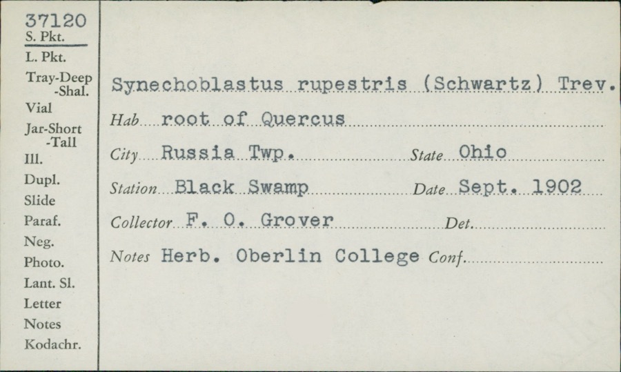
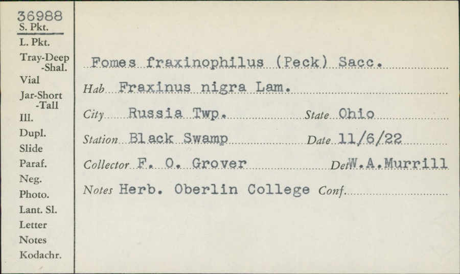
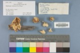
evidence. Museums hold 229 specimens
collected within 10 miles of Claysville School between 1875 and
1972: 133 Fungi, 58 Plantae, 34 Animalia, 2 Unrecorded, 2 Protozoa. 12 distinct Species records are shown.
Collected by Adams, W., Adams, W.; Adams, S., Aiken and others. Each is a
physical object with a catalogue
number, and each entry opens the museum's record. This is what was
collected and kept, not a survey of what lives here - nothing can be
concluded from a species being absent.
Regional context, not property-specific
evidence. The federal mineral resources record lists
2 workings within 5 miles of Claysville School: 2 past producers.
None of them still produces. What was taken out: Limestone, General, Stone, Crushed/Broken. Distance is straight-line from the
map coordinates, so a quarry counted here may appear on a neighbouring
settlement's page as well.
Regional context, not property-specific
evidence. The National Weather Service names
Claysville, the town this property stands in, in 6 storm reports between 2011 and 2024: 2 hail, 2 thunderstorm wind, 1 flood, 1 tornado.
No death or injury is recorded in these reports. Each account below is quoted exactly as the forecast office
filed it, from the NOAA Storm Events Database, and each date
opens the federal record of that event.
Damage along the brief path was most concentrated along Fritter |Rd, where partial removal of a barn roof occurred and a cinder-|block outbuilding was destroyed. Debris from the barn was spread |downwind across an adjacent field. Elsewhere, primarily low-end |tree damage was sustained. |Estimated Maximum Wind Speed...80 mph.
No historic map-sheet match is published
for this property yet. That does not mean no map exists. This record needs
a coordinate-quality review before it can be joined to a sheet boundary.
Browse the county's mapped places while that work is
pending.
From the nomination file
2,775 words on record
When this property was proposed for the
National Register, someone wrote the case for it: what the building is,
and why it matters. That document is a federal record in the public domain.
It is quoted below word for word, never summarised. The text was read off the scanned case file by machine, so the
occasional stray character is the recogniser's and the 1970s
typewriter's.
Description of the property
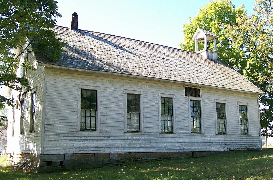
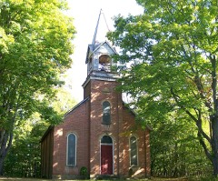
doors located at the east and west ends of the wall. These are trabeated doors, with the bell intact. :The bedfryiboasts its own gable roof, supported by four square The interior, like the exterior of Claysville School, is relatively unaltered CONDITION UNEXPOSED DETERIORATED GOOD CHECK ONE pillars.Two heating stove chimneys are inset along the ridge of the roof. the north wall, accounting for the absence of windows in this wall.The interior is Claysville School is a rectangular shiplap sided wood frame building located on the the secondary classrooms and the other as the primary.Blackboards were located along _EXCELLENT from the original.The building was not built as a one-room school; rather there are floored with hardwood and is in a good state of repair.
informatipn:Along:the ridgeline at the west end of.the school.isa small belfry.with windows,is.a doorway affording entrance.to.the half,attic.above the-schoolrooms.This -FAIR of Claysville. The entrances to the school are in the south wall, through four-panel set on a sandstone foundation, three stones in height. Sandstone steps lead to the windows,9/9,set in casings similar to those used for the doors.There are six windows fixed transoms set in plain casings with decorated corner blocks.The building is doorway.too;isdecorated with corner:blocks.:The schoolhouse is capped with a slate gable roof,with the year of construction.(l9oo)-set in-blue.slate in-the south side -RUINS AREAS OF
Statement of significance
Claysville School is nominated first for its educational significance to the village of Claysville, and secondly, for its architectural character as an intact, unaltered.. example of early twentieth-century rural school architecture. During the nineteenth and the first fourteen years of the twentieth century, public education was the in 1900, replacing an earlier structure located on the west side of the village.
closed on the orders of the Guernsey County Board of Education, and Claysville students 1700-1799 unknown INVENTION SIGNIFICANCE CONSERVATION ART THEATER ARCHEOLOGY-HISTORIC RELIGION LAW BUILDER/ARCHITECT MILITARY PERIOD AGRICULTURE XEDUCATION LITERATURE TRANSPORTATION LECONOMICS INDUSTRY XARCHITECTURE _POLITICS/GOVERNMENT _PHILOSOPHY early twentieth-century vernacular educational architecture. - EXPLORATION/SETTLEMENT - ENGINEERING _SOCIAL/HUMANITARIAN -1600-1699 -1500-1599 -1400-1499 - PREHISTORIC -1800-1899 -COMMUNITY PLANNING ARCHEOLOGY-PREHISTORIC unique in this area in that respect, and remains an essentially unaltered example of responsibility of individual villages and townships.
The present building was constructe served the educational needs of the community until the early l930s, when it was on a two-room plan, rather than the conventional one-room scheme, it appears to be 9
Quoted from the National Register nomination
for reference 79001850, 17 pages, held by the National Archives in Record
Group 79. See the
catalogue record.
Listed places nearby
6 within 8 miles
Other National Register properties close
enough to walk or drive between, ordered by distance from this one. Both
positions come from the same geocoding pass that matched these properties
to their map sheets.
Listing record. National Park Service National Register of Historic Places, listed-properties dataset, current to 2026-05-22.
Map join. Address geocoded through the United States Census geocoder, then tested against the published boundary of every sheet in the USGS Historical Topographic Map Collection.
How this page is made. Listing fields come from federal records; map-sheet coverage is a labelled coordinate-to-boundary calculation, not a source-field claim.
Wildfire. Short, Karen C. 2022. Spatial wildfire occurrence data for the United States, 1992-2020 [FPA_FOD_20221014]. 6th Edition. Fort Collins, CO: Forest Service Research Data Archive. https://doi.org/10.2737/RDS-2013-0009.6 Collected with United States Government funding and usable without additional permissions or fees.
Specimens. Global Biodiversity Information Facility (GBIF), https://www.gbif.org/. Only records licensed CC0 or CC BY are used. Records licensed CC BY-NC are excluded because this site carries advertising. Images are checked individually and any whose licence is non-commercial, no-derivatives or unreadable is refused.
Mines and quarries. USGS Mineral Resources Data System (MRDS) https://mrdata.usgs.gov/mrds/ A work of the United States government, no copyright under 17 U.S.C. 105.
Storms. NOAA National Centers for Environmental Information, Storm Events Database https://www.ncei.noaa.gov/stormevents/ A work of the United States government, no copyright under 17 U.S.C. 105. Narratives are quoted verbatim from the National Weather Service report and are not edited or summarised.
 Block
Block