Listed on the National Register of Historic Places in
1978. A historic map-sheet match is not published yet. The record needs a coordinate-quality review before it can be joined to a sheet boundary.
From the record
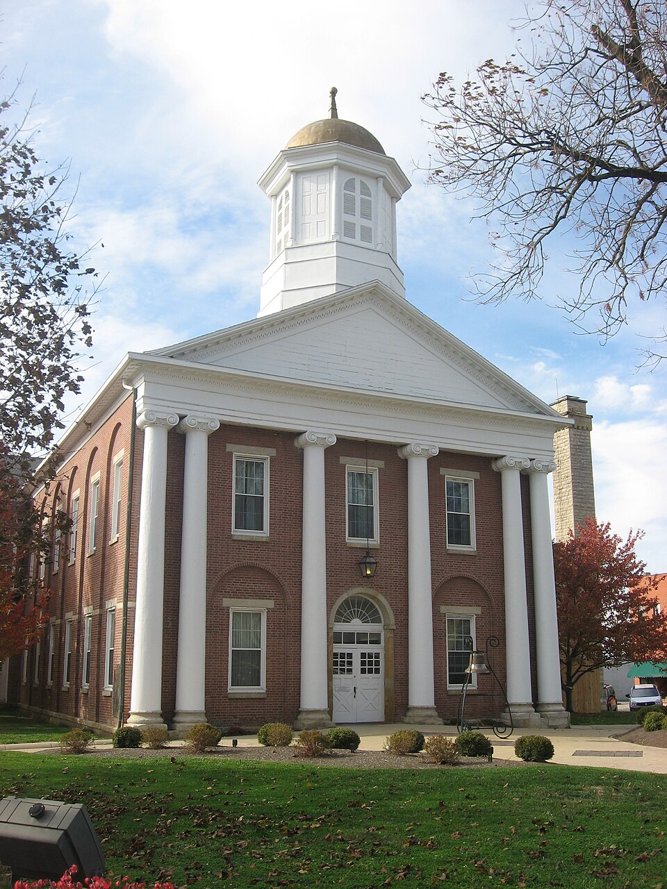
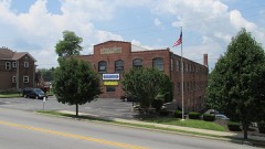
“The Highland County Courthouse is located in Hillsboro, Ohio. The courthouse was placed on the National Register on August 24, 1978.”
Wikipedia article Highland County Courthouse (Ohio), CC BY-SA 4.0.
one of 14 National Register listings in Highland County · listed in 1978 · category: Building.
Architectural style. Greek Revival architecture, Federal architecture
National Register reference number.78002087- the number the National Park Service assigned this property when it was listed, and the key its nomination file is catalogued under at the National Archives.
Fires near this property
2 since 2006
Regional context, not property-specific
evidence. The
federal wildfire occurrence database
lists 2 fires within 5 miles of Highland County Courthouse between
2006 and 2007, burning about 11 acres in total. None started naturally. None was recorded as arson.
Distance is straight-line from the map coordinates, so a fire counted
here may appear on a neighbouring settlement's page as well.
Reported cause
Fires
Debris and open burning
2
The most recent of
them, most recent first, with the day each was reported and the service
that recorded it.
Regional context, not property-specific
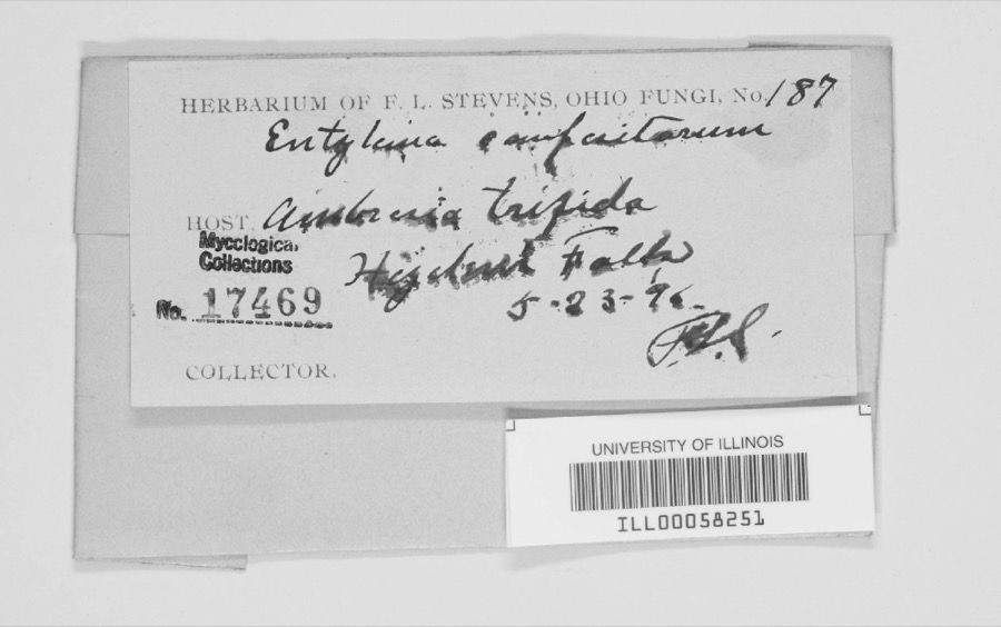
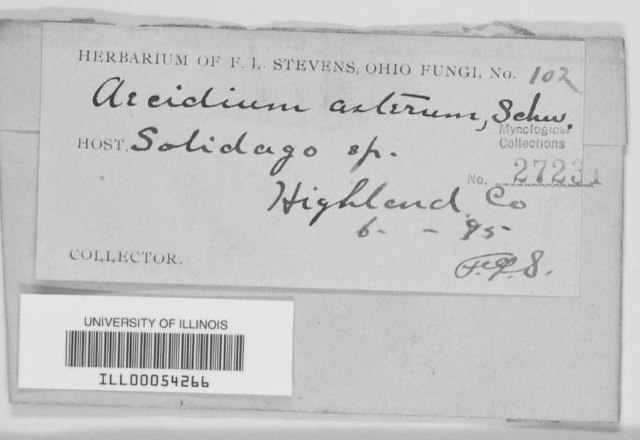
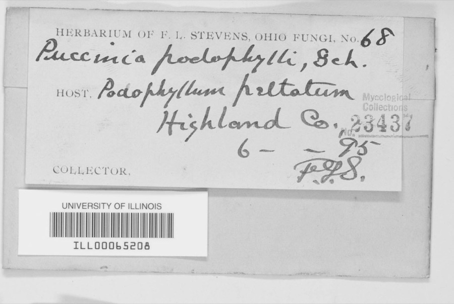
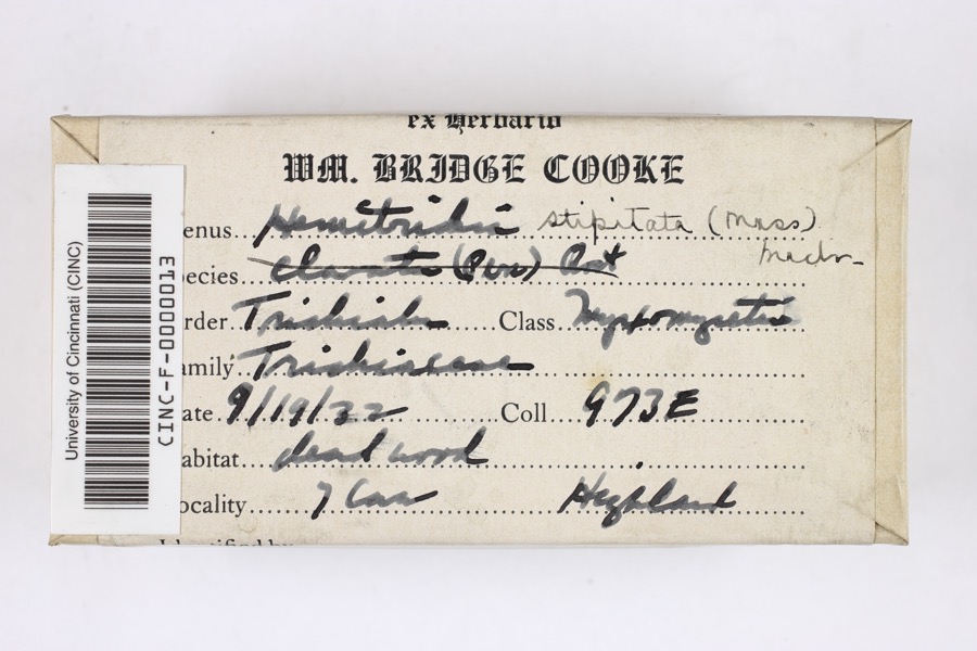
evidence. Museums hold 754 specimens
collected within 10 miles of Highland County Courthouse between 1894 and
1973: 532 Animalia, 156 Fungi, 53 Plantae, 12 Protozoa, 1 Unrecorded. 12 distinct Species records are shown.
Collected by 14521, A W SHARER, A. Braun and others. Each is a
physical object with a catalogue
number, and each entry opens the museum's record. This is what was
collected and kept, not a survey of what lives here - nothing can be
concluded from a species being absent.
Regional context, not property-specific
evidence. The federal mineral resources record lists
5 workings within 5 miles of Highland County Courthouse: 3 past producers, 1 plant, 1 producer.
2 still produce. What was taken out: Sand and Gravel, Construction, Stone, Crushed/Broken, Limestone, General. Distance is straight-line from the
map coordinates, so a quarry counted here may appear on a neighbouring
settlement's page as well.
Regional context, not property-specific
evidence. The National Weather Service names
Hillsboro, the town this property stands in, in 69 storm reports between 1994 and 2024: 41 thunderstorm wind, 18 hail, 7 flash flood, 1 tornado.
No death or injury is recorded in these reports. Each account below is quoted exactly as the forecast office
filed it, from the NOAA Storm Events Database, and each date
opens the federal record of that event.
A brief tornado moved along a half mile path just north of Rocky Fork Lake. A restaurant along North Shore Road sustained minor siding damage. A real estate office along North Beach Road had portions of its aluminum roof peeled back or completely ripped off. The most extensive damage occurred to a residence about a tenth of a mile to the north-northeast of the real estate office. The home sustained major roof damage, and had an enclosed patio on its front porch completed removed and strewn behind the home. The majority of the patio was deposited into a deck and above ground pool behind the house, causing additional damage. A few trees between six and twelve inches in diameter were snapped between the real estate office and the residence.
Numerous trees were downed onto several houses along Ivy Hill Road. A garage door and wall were damaged at one residence. A few homes also had shingle and siding damage.
A roof was blown off a mobile home and several trees up to two feet in diameter were snapped near the base of the trunk along Dade Road. A storm survey determined the damage was caused by straight line winds, with gusts estimated up to 70 MPH.
1 paper published in this town,
digitised by the Library of Congress and free to read: 0 issues,
0 pages. Every page is searchable, so a name or a street can be
looked for directly in what the town printed about itself at the time.
No historic map-sheet match is published
for this property yet. That does not mean no map exists. This record needs
a coordinate-quality review before it can be joined to a sheet boundary.
Browse the county's mapped places while that work is
pending.
From the nomination file
3,937 words on record
When this property was proposed for the
National Register, someone wrote the case for it: what the building is,
and why it matters. That document is a federal record in the public domain.
It is quoted below word for word, never summarised. The text was read off the scanned case file by machine, so the
occasional stray character is the recogniser's and the 1970s
typewriter's.
Description of the property
The Highland County Courthouse is a T-shaped two-story brick building with a the rear or western end of the original rectangular block, forming what are now by smooth stone water table. The foundation of the 1873 annex is rock-faced cut The facade, which is the gable end of the original block, was laid up in flemish It is characterized by half-round Ionic pilasters that separate the three two-story bays and support a full pediment with a wide molded entablature board. A finely detailed fret band and larger scale dentil molding adorns the entablature and consists of double doors surrounded by stone banding, transom light, and a The side elevations of the original block feature a six bay blind arcade laid up as on the facade.
The walls of the annex, also laid in common bond, are plain and pierced only by the 6/6 windows. Gables with pediments similar to the facade are at the endsof the annex. A gablet with similar details is in the center of the A photograph taken in 1873 prior to the construction of the annex shows a natural brick exterior. Sometime before 1916, the date of a second photograph, the exterior pilasters and the entire structure is painted white. The dome, which has a small spire and weathervane on top, is painted gold. CONDITION DATE EXCELLENT MOVED UNALTERED UNEXPOSED FAIR limestone block. The rubble stone foundation under the original portion of the courthouse is topped turning the brick to its natural appearance.
board and the raking cornice of the pediment.The tympanum of the pediment is The gabled roof is covered with asphalt shingle.Near the front of the original commonly called the north and south wings. well as those around the entire structure have plain stone lintels and sills.
The Highland County Courthouse is significant for three reasons: its unusual blend of styles represents a transition in architectural development; it has served the people of the county as the center of governmental life for nearly one hundred and provides a source of identity for the county. form a simple, balanced design typical of the Greek Revival style. Yet several other major exterior features, the blind arcades, fanlight of the main entrance, and oc- and spired, and thus enhances the structure by lessening the severity of the classical The Courthouse, as the political center of the county, has housed not only the Common Pleas and Probate Courts and records, but also the offices of various county officials.
The building still serves in this capacity, and is the oldest courthouse still functional in the State of Ohio. bicentennial celebrations, and, on November 17, 1897, ceremonies commemorating the social and governmental functions, the Courthouse gives the local citizens a direct link to their own past. The contract for the construction of the Courthouse was awarded by the county commis- who served as a commissioner at that time, and was constructed by his brother basic structure has not changed since that time. ART 1600-1699 1400-1499 COMMERCE mode.
LAW PERIOD INVENTION PHILOSOPHY SIGNIFICANCE BUILDER/ARCHITECT 1900- AGRICULTURE ARCHEOLOGY-HISTORIC LITERATURE MILITARY EDUCATION ARCHEOLOGY-PREHISTORIC MUSIC _COMMUNICATIONS XPOLITICS/GOVERNMENT 1873 when a $15,000 annex was added at the rear of the original Courthouse.The XARCHITECTURE _EXPLORATION/SETTLEMENT INDUSTRY _1700-1799 _PREHISTORIC _CONSERVATION _TRANSPORTATION THEATER .ENGINEERING The architectural transition is best demonstrated by the most prominent featuresof _RELIGION fifty years; and itisa landmark for the local residents as well as visitors,,and -ECONOMICS -1500-1599 SPECIFIC DATES 1833-1835, 1873 The classical cornices, pediment, and six Ionic pilasters of the facade tagonal belfry, are more closely related to the Federal style.
Quoted from the National Register nomination
for reference 78002087, 25 pages, held by the National Archives in Record
Group 79. See the
catalogue record.
Listed places nearby
6 within 8 miles
Other National Register properties close
enough to walk or drive between, ordered by distance from this one. Both
positions come from the same geocoding pass that matched these properties
to their map sheets.
Listing record. National Park Service National Register of Historic Places, listed-properties dataset, current to 2026-05-22.
Map join. Address geocoded through the United States Census geocoder, then tested against the published boundary of every sheet in the USGS Historical Topographic Map Collection.
How this page is made. Listing fields come from federal records; map-sheet coverage is a labelled coordinate-to-boundary calculation, not a source-field claim.
Wildfire. Short, Karen C. 2022. Spatial wildfire occurrence data for the United States, 1992-2020 [FPA_FOD_20221014]. 6th Edition. Fort Collins, CO: Forest Service Research Data Archive. https://doi.org/10.2737/RDS-2013-0009.6 Collected with United States Government funding and usable without additional permissions or fees.
Specimens. Global Biodiversity Information Facility (GBIF), https://www.gbif.org/. Only records licensed CC0 or CC BY are used. Records licensed CC BY-NC are excluded because this site carries advertising. Images are checked individually and any whose licence is non-commercial, no-derivatives or unreadable is refused.
Mines and quarries. USGS Mineral Resources Data System (MRDS) https://mrdata.usgs.gov/mrds/ A work of the United States government, no copyright under 17 U.S.C. 105.
Storms. NOAA National Centers for Environmental Information, Storm Events Database https://www.ncei.noaa.gov/stormevents/ A work of the United States government, no copyright under 17 U.S.C. 105. Narratives are quoted verbatim from the National Weather Service report and are not edited or summarised.
 Block
Block