Listed on the National Register of Historic Places in
1982. A historic map-sheet match is not published yet. The record needs a coordinate-quality review before it can be joined to a sheet boundary.
From the record
one of 14 National Register listings in Highland County · listed in 1982 · category: Building.
National Register reference number.82003596- the number the National Park Service assigned this property when it was listed, and the key its nomination file is catalogued under at the National Archives.
Fires near this property
2 since 2006
Regional context, not property-specific
evidence. The
federal wildfire occurrence database
lists 2 fires within 5 miles of Mother Thompson House between
2006 and 2007, burning about 11 acres in total. None started naturally. None was recorded as arson.
Distance is straight-line from the map coordinates, so a fire counted
here may appear on a neighbouring settlement's page as well.
Reported cause
Fires
Debris and open burning
2
The most recent of
them, most recent first, with the day each was reported and the service
that recorded it.
Regional context, not property-specific
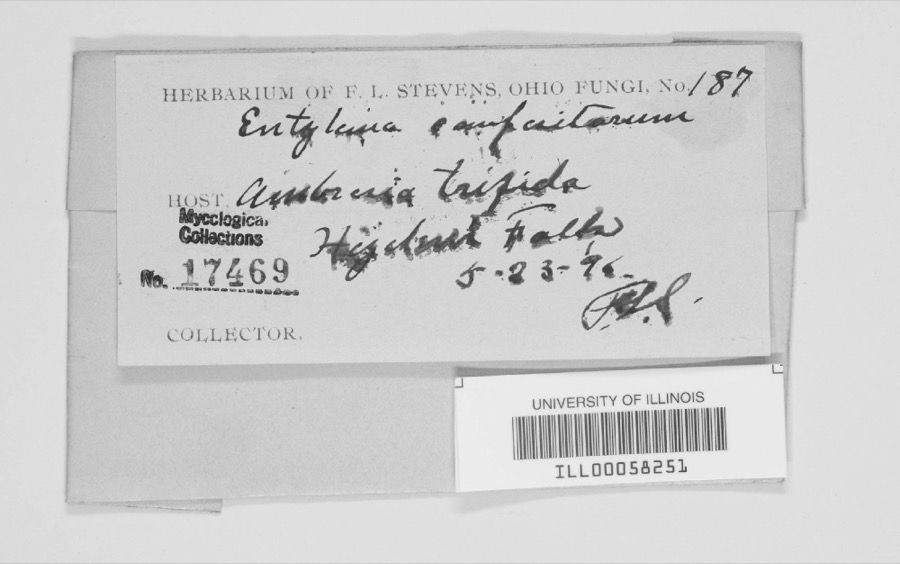
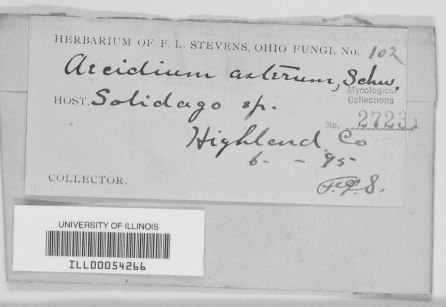
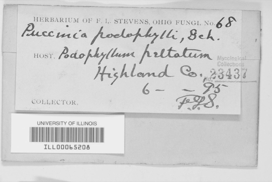
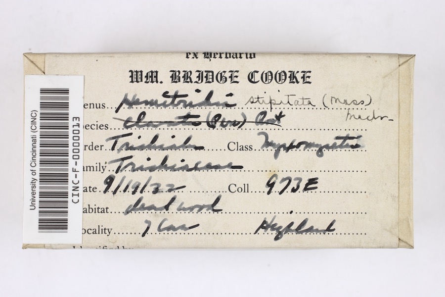
evidence. Museums hold 755 specimens
collected within 10 miles of Mother Thompson House between 1894 and
1973: 534 Animalia, 156 Fungi, 52 Plantae, 12 Protozoa, 1 Unrecorded. 12 distinct Species records are shown.
Collected by 14521, A W SHARER, A. Braun and others. Each is a
physical object with a catalogue
number, and each entry opens the museum's record. This is what was
collected and kept, not a survey of what lives here - nothing can be
concluded from a species being absent.
Regional context, not property-specific
evidence. The federal mineral resources record lists
5 workings within 5 miles of Mother Thompson House: 3 past producers, 1 plant, 1 producer.
2 still produce. What was taken out: Sand and Gravel, Construction, Stone, Crushed/Broken, Limestone, General. Distance is straight-line from the
map coordinates, so a quarry counted here may appear on a neighbouring
settlement's page as well.
Regional context, not property-specific
evidence. The National Weather Service names
Hillsboro, the town this property stands in, in 69 storm reports between 1994 and 2024: 41 thunderstorm wind, 18 hail, 7 flash flood, 1 tornado.
No death or injury is recorded in these reports. Each account below is quoted exactly as the forecast office
filed it, from the NOAA Storm Events Database, and each date
opens the federal record of that event.
A brief tornado moved along a half mile path just north of Rocky Fork Lake. A restaurant along North Shore Road sustained minor siding damage. A real estate office along North Beach Road had portions of its aluminum roof peeled back or completely ripped off. The most extensive damage occurred to a residence about a tenth of a mile to the north-northeast of the real estate office. The home sustained major roof damage, and had an enclosed patio on its front porch completed removed and strewn behind the home. The majority of the patio was deposited into a deck and above ground pool behind the house, causing additional damage. A few trees between six and twelve inches in diameter were snapped between the real estate office and the residence.
Numerous trees were downed onto several houses along Ivy Hill Road. A garage door and wall were damaged at one residence. A few homes also had shingle and siding damage.
A roof was blown off a mobile home and several trees up to two feet in diameter were snapped near the base of the trunk along Dade Road. A storm survey determined the damage was caused by straight line winds, with gusts estimated up to 70 MPH.
1 paper published in this town,
digitised by the Library of Congress and free to read: 0 issues,
0 pages. Every page is searchable, so a name or a street can be
looked for directly in what the town printed about itself at the time.
No historic map-sheet match is published
for this property yet. That does not mean no map exists. This record needs
a coordinate-quality review before it can be joined to a sheet boundary.
Browse the county's mapped places while that work is
pending.
From the nomination file
1,538 words on record
When this property was proposed for the
National Register, someone wrote the case for it: what the building is,
and why it matters. That document is a federal record in the public domain.
It is quoted below word for word, never summarised. The text was read off the scanned case file by machine, so the
occasional stray character is the recogniser's and the 1970s
typewriter's.
Description of the property
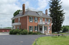
The house is brick laid in flemish bond with a plain ashlar foundation. and unique for a house of its era in Highland County. house (n, W & s) there is a tall, semi-circular arched dormer which is porch has a: semi-circular arched roof.orIt also:has side balustrades and original windows have remained intact with 12/12 lights, plain lug sills, Alterations to the house appear to have been made in the mid-1950's Condition fair unaltered Upon entering,the most striking feature is its 12'high first story.The double-hung sashes and louvered shutters. x good lovely residential area which is northeast of the center of town.It is stone lintel as do each of the two windows to either side of the entry.The structure in c.1833-34..
It.is thought to have housed the cooking facilities large open porch with a southern exposure which overlooked the family's a brick addition was made to the south side of the house and. the porch was which were made detract significantly from the view of the facade. vegetable garden and had an entrance to the dining room.
In the mid-1950's date The There are eight chimneys in all.On each of the main sides of the with an upper fanlight.Like the dormerstheeelevated:central:entrance/ The Mother Thompson Houseis located ona large parcel of land ina Areas of Significance - Check and justify below - prehistoric _ science - agriculture _ literature - sculpture .military X social/ X architecture - music X 1800-1899 - philosophy .communications .industry X politics/government .transportation - other (specify) Statement of
Statement of significance
(in one paragraph) kindrof Classical detailing employed in the architecture of the early 19th century: Within-Highland County, there is no otherostructure which dom- the Trimble Governor Trimble lived in the house from its construction in the 1830s until his remained there until her death in 1905. economics 1400-1499 1700-1799 education commerce 1600-1699 1500-1599 humanitarian engineering Period invention conservation theater exploration/settlement 8.
Significance law _archeology-historic 1900- The Mother Thompson House is significant for both historical and archi- due largely to the work of Eliza Jane Thompson or "Mother Thompson."She _ archeology-prehistoric landscape architecture - religion _ art By 1826, Trimble was elected governor of the State where he served until She married James H. Thompson, a successful attorney, in 1837, and by 1873 Many of Ohio's early notables were entertained in this house. General William Henry Harrison, Duncan McArthur, Rutheford marriage in 1837. After her father's death in 1870 she moved back into the house and As was mentioned above, the house is significant for its association was the leader of the Crusade Movement which developed into the Women's does.
- communityplanning C.1833-34 Specific dates Christian Temperance Union. Trimble as well as his daughter, Eliza Jane Trimble Thompson, known his- of 1812,and in 1816,was elected to the legislature from Highland County. torically as "Mother Thompson."The house is one of the oldest remaining in Hillsboro and is also one of the finest.It is a unique example of the house.T The following year he was elected to the Senate and was returned for four been recognizedas"the Mecca of the Crusade"and "the Cradleiof the Crusade" Quadrangle name UMT References Verbal boundary description and justification The nominated property-occupies lot 774 Vol. 309, page 365. List all states and counties for properties overlapping state or county boundaries _ state Katherine A.
Quoted from the National Register nomination
for reference 82003596, 13 pages, held by the National Archives in Record
Group 79. See the
catalogue record.
Listed places nearby
6 within 8 miles
Other National Register properties close
enough to walk or drive between, ordered by distance from this one. Both
positions come from the same geocoding pass that matched these properties
to their map sheets.
Listing record. National Park Service National Register of Historic Places, listed-properties dataset, current to 2026-05-22.
Map join. Address geocoded through the United States Census geocoder, then tested against the published boundary of every sheet in the USGS Historical Topographic Map Collection.
How this page is made. Listing fields come from federal records; map-sheet coverage is a labelled coordinate-to-boundary calculation, not a source-field claim.
Wildfire. Short, Karen C. 2022. Spatial wildfire occurrence data for the United States, 1992-2020 [FPA_FOD_20221014]. 6th Edition. Fort Collins, CO: Forest Service Research Data Archive. https://doi.org/10.2737/RDS-2013-0009.6 Collected with United States Government funding and usable without additional permissions or fees.
Specimens. Global Biodiversity Information Facility (GBIF), https://www.gbif.org/. Only records licensed CC0 or CC BY are used. Records licensed CC BY-NC are excluded because this site carries advertising. Images are checked individually and any whose licence is non-commercial, no-derivatives or unreadable is refused.
Mines and quarries. USGS Mineral Resources Data System (MRDS) https://mrdata.usgs.gov/mrds/ A work of the United States government, no copyright under 17 U.S.C. 105.
Storms. NOAA National Centers for Environmental Information, Storm Events Database https://www.ncei.noaa.gov/stormevents/ A work of the United States government, no copyright under 17 U.S.C. 105. Narratives are quoted verbatim from the National Weather Service report and are not edited or summarised.
 Block
Block