Built in 1873. Listed on the National Register of Historic Places in
1978. A historic map-sheet match is not published yet. The record needs a coordinate-quality review before it can be joined to a sheet boundary.
From the record
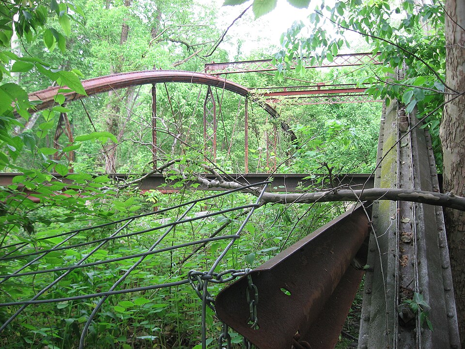
“The Caledonia Bowstring Bridge is a historic bridge in the village of Caledonia, Ohio, United States. Built in the 1870s but no longer in use, it has been named a historic site.”
Wikipedia article Caledonia Bowstring Bridge, CC BY-SA 4.0.
one of 14 National Register listings in Marion County · listed in 1978 · category: Structure · built in 1873, by Wrought Iron Bridge Company · one of 1 National Historic Landmarks in Marion County.
National Register reference number.78002131- the number the National Park Service assigned this property when it was listed, and the key its nomination file is catalogued under at the National Archives.
Specimens collected near this property
12 of 66 shown
Regional context, not property-specific
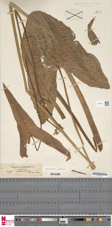
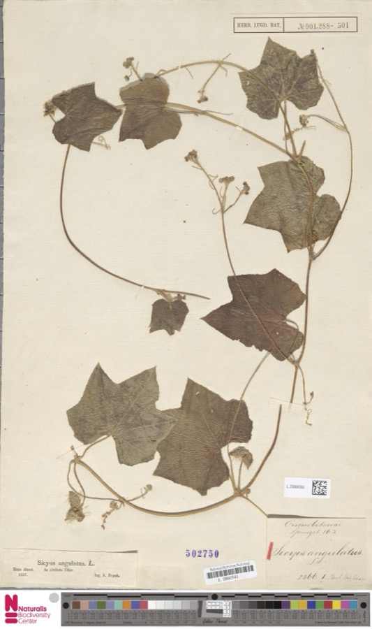
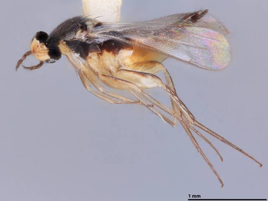
evidence. Museums hold 66 specimens
collected within 10 miles of Caledonia Bowstring Bridge between 1837 and
1969: 53 Animalia, 7 Plantae, 6 Fungi. 12 distinct Species records are shown.
Collected by A. Ogilvie, Brown, H P, Collector(s): D. W. Kohlhorst and others. Each is a
physical object with a catalogue
number, and each entry opens the museum's record. This is what was
collected and kept, not a survey of what lives here - nothing can be
concluded from a species being absent.
Regional context, not property-specific
evidence. The federal mineral resources record lists
1 working within 5 miles of Caledonia Bowstring Bridge: 1 past producer.
None of them still produces. What was taken out: Fire Clay (Refractory). Distance is straight-line from the
map coordinates, so a quarry counted here may appear on a neighbouring
settlement's page as well.
Regional context, not property-specific
evidence. The National Weather Service names
Caledonia, the town this property stands in, in 12 storm reports between 1994 and 2022: 7 thunderstorm wind, 5 hail.
No death or injury is recorded in these reports. Each account below is quoted exactly as the forecast office
filed it, from the NOAA Storm Events Database, and each date
opens the federal record of that event.
A thunderstorm downburst caused significant damage in and around Caledonia. An older brick building collapsed from the winds. A nearby barn lost it's roof and dozens of trees were toppled. Many power lines were knocked down resulting in scattered power outages.
No historic map-sheet match is published
for this property yet. That does not mean no map exists. This record needs
a coordinate-quality review before it can be joined to a sheet boundary.
Browse the county's mapped places while that work is
pending.
From the nomination file
1,683 words on record
When this property was proposed for the
National Register, someone wrote the case for it: what the building is,
and why it matters. That document is a federal record in the public domain.
It is quoted below word for word, never summarised. The text was read off the scanned case file by machine, so the
occasional stray character is the recogniser's and the 1970s
typewriter's.
Description of the property
have been removed. CONDITION UNALTERED DETERIORATED EXCELLENT RUINS XFAIR CHECK ONE umns which in cross-section are formed of four flanged longitudinal segments around the piers and beams to form ramps to the deck.The deck has not yet been I-beam stretching between the two piers at each end.Fill material was packed is additional top diagonal lateral bracing between these two girders.The The bridge is now positioned on abutments composed of concrete piers and the base for each abutment.The arch shoes of the bridge are seated on the bowstring arch-truss of wrought iron.The arches are composed of Phoenix-type' col- structed of double flat rolled bars.
The Caledonia Bowstring Bridge is a 104 foot long and 16 foot wide _GOOD DATApril, 1976 by the two patented lattice girders which stretch between the tops of each They are bolted to both the arches and the verticals below, and there wooden deck is supported by I floor beams that rest on the lower chord con- blocks through which the verticals supporting the deck are bolted.The verti- The main bracing against lateral movement is provided completely replaced and the modern steel guardrails that were added by the county tension rod bracing. cals alternate between lattice work and angle bars and have round diagonal X_MOVED AREAS OF
Statement of significance
of Canton, Ohio. bridge was patented in 1873 by David Hammond, Job Abbott, and Michael Adler. The design utilized an overhead lattice work brace that provided, at a minimal cost, lateral and vertical stiffness under rolling loads for an arch structure. Hammond, Abbott, and Adler were all employees of the Wrought Iron Bridge Company.
David Hammond was a native of Stark County, Ohio, where he learned the Job Abbott was the vice-president and chief engineer of the company, and structures throughout the New England, Eastern, Midwest, Southern, and Southwestern strength, durability, resistance to corrosiveness, and working loads for wrought 1500-1599 ART X1800-1899 SCIENCE XENGINEERING PERIOD RELIGION POLITICS/GOVERNMENT XTRANSPORTATION PREHISTORIC ARCHITECTURE SIGNIFICANCE SCULPTURE MILITARY EXPLORATION/SETTLEMENT INDUSTRY LITERATURE iron structures.
_COMMERCE ering history in Ohio and the Midwest because of its rare metal bowstring The Caledonia Bowstring Bridge represents an important segment of engine- intersection Pratt through trusses;combination trusses;and girder and swing The Caldonia Bowstring Bridge originally spanned the Scioto River along with wrought iron bridges over wood or cast iron.The same Book of Designs included traffic for several years because of its inability to meet modern load capacities. Michael Adler was the general superintendent.
Quoted from the National Register nomination
for reference 78002131, 14 pages, held by the National Archives in Record
Group 79. See the
catalogue record.
Listed places nearby
1 within 8 miles
Other National Register properties close
enough to walk or drive between, ordered by distance from this one. Both
positions come from the same geocoding pass that matched these properties
to their map sheets.
Listing record. National Park Service National Register of Historic Places, listed-properties dataset, current to 2026-05-22.
Map join. Address geocoded through the United States Census geocoder, then tested against the published boundary of every sheet in the USGS Historical Topographic Map Collection.
How this page is made. Listing fields come from federal records; map-sheet coverage is a labelled coordinate-to-boundary calculation, not a source-field claim.
Specimens. Global Biodiversity Information Facility (GBIF), https://www.gbif.org/. Only records licensed CC0 or CC BY are used. Records licensed CC BY-NC are excluded because this site carries advertising. Images are checked individually and any whose licence is non-commercial, no-derivatives or unreadable is refused.
Mines and quarries. USGS Mineral Resources Data System (MRDS) https://mrdata.usgs.gov/mrds/ A work of the United States government, no copyright under 17 U.S.C. 105.
Storms. NOAA National Centers for Environmental Information, Storm Events Database https://www.ncei.noaa.gov/stormevents/ A work of the United States government, no copyright under 17 U.S.C. 105. Narratives are quoted verbatim from the National Weather Service report and are not edited or summarised.
 Block
Block