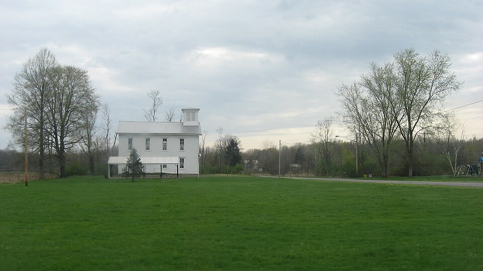
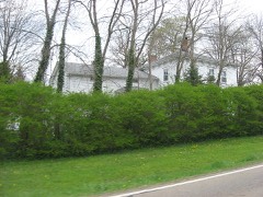
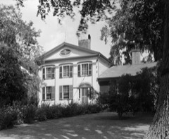
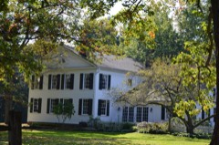
Listed on the National Register of Historic Places in
1978. A historic map-sheet match is not published yet. The record needs a coordinate-quality review before it can be joined to a sheet boundary.
From the record
one of 32 National Register listings in Trumbull County · listed in 1978 · category: Building · one of 1 National Historic Landmarks in Trumbull County.
National Register reference number.78002198- the number the National Park Service assigned this property when it was listed, and the key its nomination file is catalogued under at the National Archives.
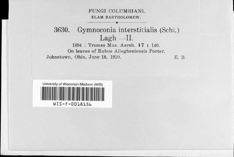
Specimens collected near this property
12 of 193 shown
Regional context, not property-specific
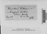
evidence. Museums hold 193 specimens
collected within 10 miles of Greene Township Center between 1893 and
1975: 176 Animalia, 12 Plantae, 3 Fungi, 2 Chromista. 12 distinct Species records are shown.
Collected by Armbruster, D. C. (Daniel C.), Bednarik, K. (Karl), CAROOTS, JAMES and others. Each is a
physical object with a catalogue
number, and each entry opens the museum's record. This is what was
collected and kept, not a survey of what lives here - nothing can be
concluded from a species being absent.
Regional context, not property-specific
evidence. The National Weather Service names
North Bloomfield, the town this property stands in, in 4 storm reports between 2001 and 2011: 3 thunderstorm wind, 1 flash flood.
No death or injury is recorded in these reports. Each account below is quoted exactly as the forecast office
filed it, from the NOAA Storm Events Database, and each date
opens the federal record of that event.
Torrential rain fell over Trumbull County on the evening of the 14th, this after three preceding days of flooding. The saturated ground could not handle additional rainfall, so the one to two inches that fell on this evenig resulted in flash flooding. Several creeks mainly in northern portions of the county came out of their banks. Basements flooded in the Howland Township area. Several roads were impassable including OH 193.
No historic map-sheet match is published
for this property yet. That does not mean no map exists. This record needs
a coordinate-quality review before it can be joined to a sheet boundary.
Browse the county's mapped places while that work is
pending.
From the nomination file
2,230 words on record
When this property was proposed for the
National Register, someone wrote the case for it: what the building is,
and why it matters. That document is a federal record in the public domain.
It is quoted below word for word, never summarised. The text was read off the scanned case file by machine, so the
occasional stray character is the recogniser's and the 1970s
typewriter's.
Description of the property
the wood detailing is kept to a minimum. The interior has its original shiplapped ceiling and wainscoting, although the bule was flanked by a pair of wide, quarter-turn spiral staircases, one of which has circular attic windows, an intermediate cornice with pointed dentils, a gothic arched doorway and side window topped with projecting hoodmoldings, and corner buttresses. The present belfry, much smaller in size, has replaced the spire with a concave pyramidal roof. The interior contains a vestibule under the steeple, a 500 seat meeting hall, and two lecture rooms, one above the other, which open onto thè rear of the main social hall, and furnace was constructed under the church in 1956.
The parsonage, located to the south of the church, is a standard two-storied, CONDITION UNEXPOSED DETERIORATED EXCELLENT XALTERED FAIR elevations alternate pointed arched windows with gothic pinnacles and buttresses. CHECK ONE plaster walls have recently been covered with wood paneling.The entrance vesti- topped tower with a projecting cornice and paired louvered openings on all four sides. and a projecting gabled hood supported on brackets. The windows are double-hung were added later as classroom entrances. Built in 1975, the house is a non-conforming structure on the church's property. The front elevation features a finial on the gable peak, a central circular window, church is offset with a side steeple.
The original octagonal spire featured a globe wood framed developer's house perched upon an exposed concrete block basement.
settlers. However, the town's specific configuration is unusual. Spatially, the diagonal the building's architect was also the local minister, druggist, and postmaster. Greene Township, purchased from the Connecticut Land Company by Gardner Greene, was first settled in April 1817. Although remaining mostly undeveloped until after the Civil War, the area gained a reputation for its lumber mills and cheese factories which thrived on an abundance of water and grazing land. The town hall was built in 1877 on land owned by C. W. Rice, a descendant of the original settlers. It served as the high school as well as the town's administration building.
With the construction of a new school in 1900, the structure was deeded to the township's trustees who now use it for their meetings as well as for community and donated by R. R.Bascom, a local merchant. The original spire fell during a Methodist, Disciple, and Baptist churches formed the Greene Community Church, Thus, Greene Township Center's significance derives from both the rich history of these two structures and its inhabitants' unique interpretation of the typical Western Reserve town. 1400-1499 ARCHEOLOGY-HISTORIC XARCHITECTURE PERIOD INVENTION activities.
AGRICULTURE SCIENCE XEDUCATION INDUSTRY SCULPTURE ART XRELIGION SIGNIFICANCE THEATER MILITARY LAW LITERATURE In overall conception, Greene Township Center typifies the small Western Reserve _EXPLORATION/SETTLEMENT Its arrangement of the major civic,commercial, and religious buildings around _ENGINEERING civic activity. Historically, the church represents the pre-professional era in which _TRANSPORTATION reputed to be the country's first community congregation. formal compositions.
Quoted from the National Register nomination
for reference 78002198, 13 pages, held by the National Archives in Record
Group 79. See the
catalogue record.
Listed places nearby
4 within 8 miles
Other National Register properties close
enough to walk or drive between, ordered by distance from this one. Both
positions come from the same geocoding pass that matched these properties
to their map sheets.
Listing record. National Park Service National Register of Historic Places, listed-properties dataset, current to 2026-05-22.
Map join. Address geocoded through the United States Census geocoder, then tested against the published boundary of every sheet in the USGS Historical Topographic Map Collection.
How this page is made. Listing fields come from federal records; map-sheet coverage is a labelled coordinate-to-boundary calculation, not a source-field claim.
Specimens. Global Biodiversity Information Facility (GBIF), https://www.gbif.org/. Only records licensed CC0 or CC BY are used. Records licensed CC BY-NC are excluded because this site carries advertising. Images are checked individually and any whose licence is non-commercial, no-derivatives or unreadable is refused.
Storms. NOAA National Centers for Environmental Information, Storm Events Database https://www.ncei.noaa.gov/stormevents/ A work of the United States government, no copyright under 17 U.S.C. 105. Narratives are quoted verbatim from the National Weather Service report and are not edited or summarised.
 Block
Block