Listed on the National Register of Historic Places in
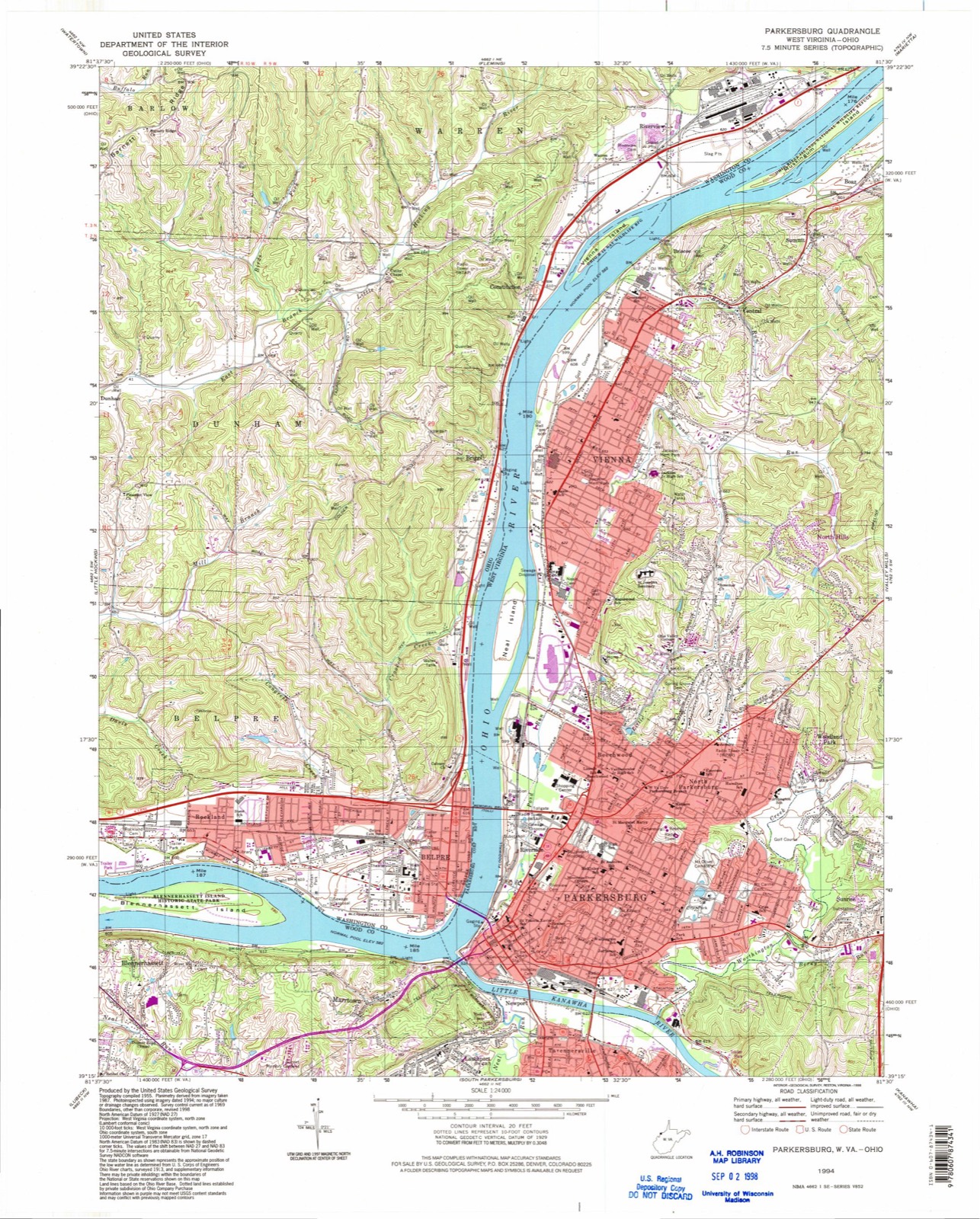
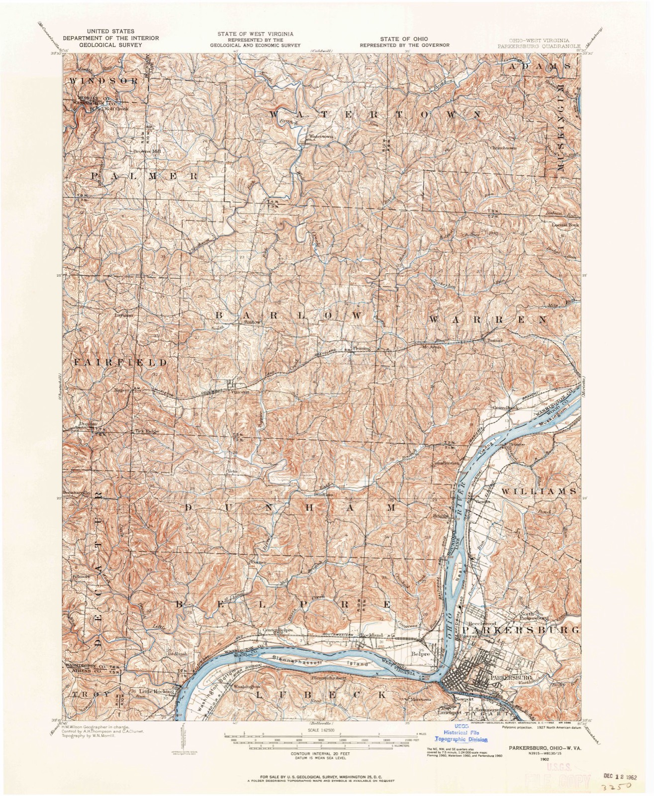
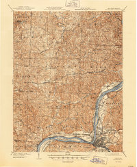
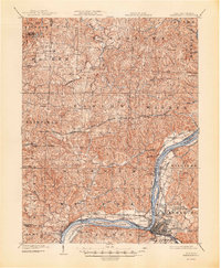
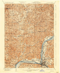
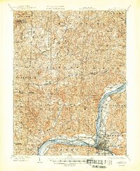
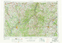
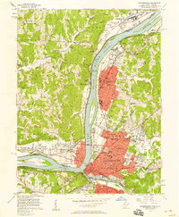
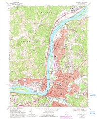
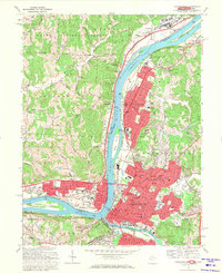
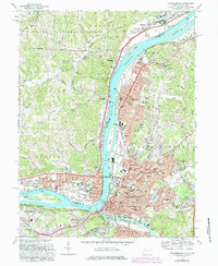
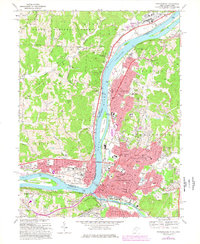
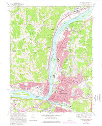
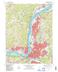
1978. 19 historic map sheets show this location, the earliest from 1902.
From the record
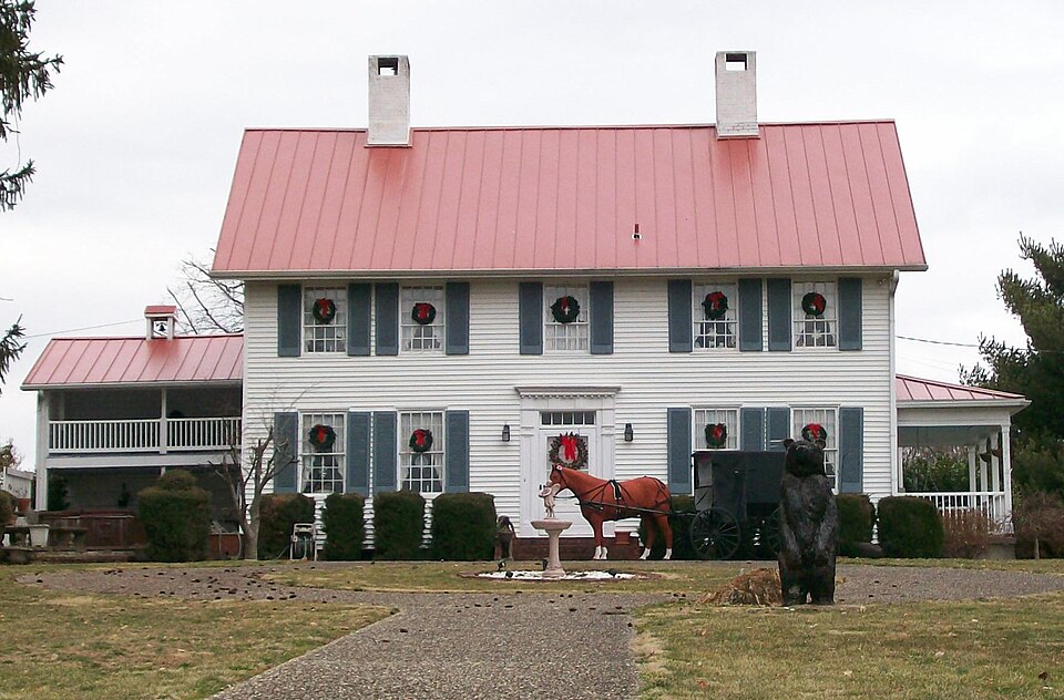
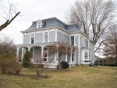
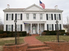
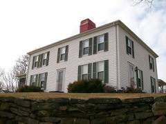
“The Captain Jonathan Stone House is a historic residence in the city of Belpre, Ohio, United States. Built just ten years after Belpre's 1789 establishment on the north bank of the Ohio River, it is the oldest existing building in the city.”
Wikipedia article Captain Jonathan Stone House, CC BY-SA 4.0.
one of 39 National Register listings in Washington County · listed in 1978 · category: BUILDING · significant for EXPLORATION/SETTLEMENT; ARCHITECTURE · one of 1 National Historic Landmarks in Washington County.
Area of significance. EXPLORATION/SETTLEMENT; ARCHITECTURE
Acreage. 1
Also known as. Barrett, Dr. Thomas and Janet, House
Township. Belpre city
National Register reference number.78002209- the number the National Park Service assigned this property when it was listed, and the key its nomination file is catalogued under at the National Archives.
Then and now
1902 to 1994
The ground this property stands on, surveyed
92 years apart. Drag the handle to wipe between them. Both sheets are
United States Geological Survey originals; neither has been altered.
19021994
The ground it stands on
36,149 words
The chapter on Belpre Township in History of Washington County, Ohio, published 1881 names Belpre. This is what it says, exactly as the scans read.
In 1797 the court declared that all the territory south of the townships of Waterford and Marietta and north of Gallipolis, be known as Belpre township, embracing parts of the present counties of Athens, Vinton, and Ross, together with fractions of Hocking, Meigs, Jackson, and Pike as they stand to-day.
The general form of Belpre is similar to that of Washington county, of which it is the most southern township. Resembling a triangle, it has about eight miles of northern line and nearly seven miles on the west, while the Ohio river as an irregular hypothenuse meanders in a southwesterly direction. North and west, with a general tendency toward the south, are ranges of hills which alternately approach toward and recede from the valley of the Ohio. These hills have no special geological features. They are in many respects similar to their sister hills in the eastern part of the county, save that there are no large deposits of coal or petroleum. Towards the southern portion of the township there are slight indications of oil, and their seams of coal have occasionally been worked, but the labor is unremunerative. All along the line of the ridge which determines the course of the streams and extends from northeast to southwest, may be found in the out-croppings of the rocky sides an excellent quality of sandstone, especially adapted for building purposes, and in many places affording an excellent grind-stone grit. The principal quarry is a short distance above Little Hocking, and stone is taken from the vicinity of Belpre village.
Regional context, not property-specific
evidence. The
federal wildfire occurrence database
lists 97 fires within 5 miles of Stone, Capt. Jonathan, House between
1992 and 2020, burning about 85 acres in total. 1 started naturally. 10 were recorded as arson.
Distance is straight-line from the map coordinates, so a fire counted
here may appear on a neighbouring settlement's page as well.
Reported cause
Fires
Debris and open burning
44
Equipment and vehicle use
14
Misuse of fire by a minor
13
Arson/incendiarism
10
Smoking
6
Power generation/transmission/distribution
3
Recreation and ceremony
3
Missing data/not specified/undetermined
2
Natural
1
Other causes
1
The most recent of
them, most recent first, with the day each was reported and the service
that recorded it.
Regional context, not property-specific
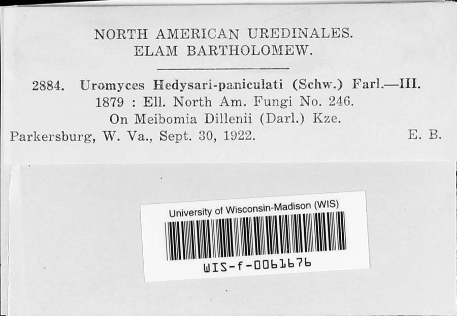
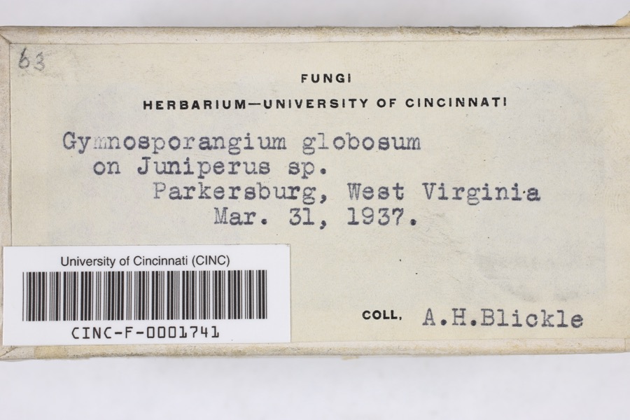
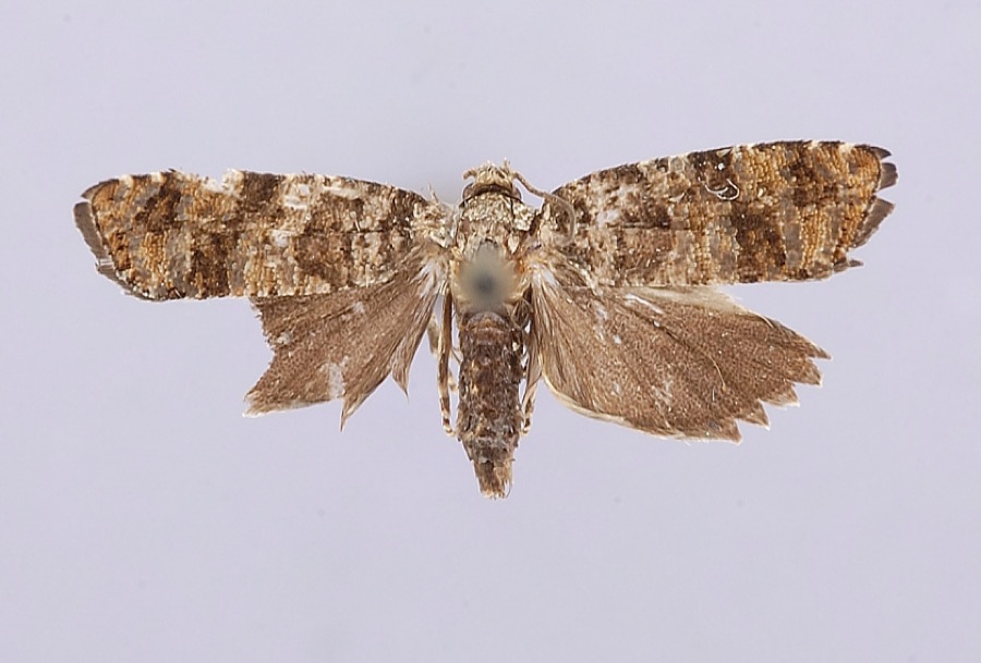
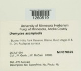
evidence. Museums hold 251 specimens
collected within 10 miles of Stone, Capt. Jonathan, House between 1877 and
1974: 146 Fungi, 84 Animalia, 18 Plantae, 3 Chromista. 12 distinct Species records are shown.
Collected by AGOSTINI, CHARLES T, Archer W. A., Archer, W. A. and others. Each is a
physical object with a catalogue
number, and each entry opens the museum's record. This is what was
collected and kept, not a survey of what lives here - nothing can be
concluded from a species being absent.
Regional context, not property-specific
evidence. The federal mineral resources record lists
4 workings within 5 miles of Stone, Capt. Jonathan, House: 2 producers, 2 past producers.
2 still produce. What was taken out: Sand and Gravel, Construction. Distance is straight-line from the
map coordinates, so a quarry counted here may appear on a neighbouring
settlement's page as well.
Regional context, not property-specific
evidence. The National Weather Service names
Belpre, the town this property stands in, in 20 storm reports between 1995 and 2025: 12 thunderstorm wind, 4 flash flood, 3 hail, 1 funnel cloud.
No death or injury is recorded in these reports. Each account below is quoted exactly as the forecast office
filed it, from the NOAA Storm Events Database, and each date
opens the federal record of that event.
The city's safety-service director said more than 100 trees were downed in the city. He estimated wind gusts of around 70 mph. Roofs were damaged by fallen trees. Some city residents even reported their vehicles were lifted off the pavement.
Marietta measured 2 inches of rain in 90 minutes. In that community, cars were stranded, and a few homes received water damage. Route 618 was damaged near Belpre.
Trees and power lines fell, damaging roofs in town. Several streets were blocked by fallen tree branches. An F2 tornado was occurring across the Ohio River, near Lubeck in Wood County of West Virginia.
Thunderstorms moved from east to west crossing the Ohio River from West Virginia. The city of Marietta hauled 130 loads of fallen limbs away over a eight day cleanup period. At least two homes were damaged. A dairy barn was heavily damaged in Warren Township. A tree fell onto a car in Belpre.
Businesses along Washington Boulevard next to Stone Road and Sycamore Street were flooded. Two homes flooded on Florence Street, with water rescues conducted to help trapped citizens. A Daycare facility also flooded with knee deep water, resulting in a water rescue of the staff and children.
United States Geological Survey topographic
sheets whose coverage includes this point. Matched by geocoding the property's own street address, then
testing that coordinate against the published boundary of every sheet.
When this property was proposed for the
National Register, someone wrote the case for it: what the building is,
and why it matters. That document is a federal record in the public domain.
It is quoted below word for word, never summarised. The text was read off the scanned case file by machine, so the
occasional stray character is the recogniser's and the 1970s
typewriter's.
Description of the property
the main entrance. Short and wide six light attic windows appear in the block. The addition with open frame facade porches on both storles appears in & photograph taken in the early twentieth century.in sub- changed c. 1960 into a doorway, which opens to an outdoor patio. The paneled frieze and small curved dentil-like brackets under the cornice. porch was added on the same side near the southeast corner.A second The frame is of heavy timbers date after the house was moved in l825.A two story addition approximately wing attached to the rear northwest corner. paneled door and five light transom are flanked by paneled pilasters. AREAS OF
Statement of significance
af Belpre, Ohio, which was settled in April, 1789, the house is the oldest Gen. Lincoln in subduing Shay's rebellion. Castle and then in a fort, known as Stone's Fort, erected by Capt. Stone by Winthrop Sargent, then acting as governor of the North West Territory. 25, 1801. 1400-1499 1799 1500-1599 1600-1699 ENGINEERING ARCHEOLOGY-HISTORIC AGRICULTURE SIGNIFICANCE PERIOD ART SCIENCE EDUCATION 1900- CONSERVATION THEATER INDUSTRY PREHISTORIC MUSIC MILITARY _PHILOSOPHY _TRANSPORTATION XEXPLORATION/SETTLEMENT _COMMUNICATIONS existing building in Belpre. INVENTION LITERATURE _POLITICS/GOVERNMENT Stone had spirited many escaped slaves northward toward Canada. -1800-1899 of the Revolution he enlisted and participated in the siege of Boston.
He was also named along with Rufus Putnam and Benjamin Ives Gilman to Brookfield, he purchased two shares of Ohio Company lands being about New England heritage and idealism of Belpre's early founders. Col.John Stone, the son of Jonathan Stone, also resided in the house. field, Mass.and was employed by Gen. Rufus Putnam as a surveyor in Maine. was born in Braintree, Mass.
and was the son of Francis Stone who lost his The Stone house is a well preserved example of the very earliest John Stone was a prominent abolitionist upon whom & price was offered by _RELIGION general conformation would place it within the Federal period of architec- that Col.Stone marched boldly up the main street of Parkersburg with _COMMERCE The house stands today as a tangible reminder of the unique substantial architecture of Ohio.Although its date of construction and He visited Marietta in the fall of l788 and made provision for the life in the army of Gen.Wolfe in the conquest of Quebec.Born in SPECIFIC DATES Col. Stone ARCHEOLUGY-PREHISTORIC COMMUNITY PLANNING BUILDER/ARCHITECT Jonathan Stone He married Susanna Matthens a niece of Gen. Putnam.
He also served with reached Belpre on December 10, 1789.
Quoted from the National Register nomination
for reference 78002209, 10 pages, held by the National Archives in Record
Group 79. See the
catalogue record.
Listed places nearby
4 within 8 miles
Other National Register properties close
enough to walk or drive between, ordered by distance from this one. Both
positions come from the same geocoding pass that matched these properties
to their map sheets.
Listing record. National Park Service National Register of Historic Places, listed-properties dataset, current to 2026-05-22.
Map join. Address geocoded through the United States Census geocoder, then tested against the published boundary of every sheet in the USGS Historical Topographic Map Collection.
How this page is made. Listing fields come from federal records; map-sheet coverage is a labelled coordinate-to-boundary calculation, not a source-field claim.
Wildfire. Short, Karen C. 2022. Spatial wildfire occurrence data for the United States, 1992-2020 [FPA_FOD_20221014]. 6th Edition. Fort Collins, CO: Forest Service Research Data Archive. https://doi.org/10.2737/RDS-2013-0009.6 Collected with United States Government funding and usable without additional permissions or fees.
Specimens. Global Biodiversity Information Facility (GBIF), https://www.gbif.org/. Only records licensed CC0 or CC BY are used. Records licensed CC BY-NC are excluded because this site carries advertising. Images are checked individually and any whose licence is non-commercial, no-derivatives or unreadable is refused.
Mines and quarries. USGS Mineral Resources Data System (MRDS) https://mrdata.usgs.gov/mrds/ A work of the United States government, no copyright under 17 U.S.C. 105.
Storms. NOAA National Centers for Environmental Information, Storm Events Database https://www.ncei.noaa.gov/stormevents/ A work of the United States government, no copyright under 17 U.S.C. 105. Narratives are quoted verbatim from the National Weather Service report and are not edited or summarised.
 Block
Block