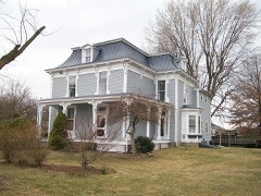
Listed on the National Register of Historic Places in
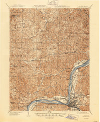
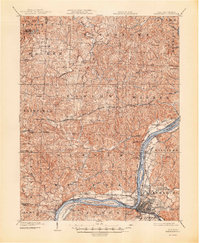
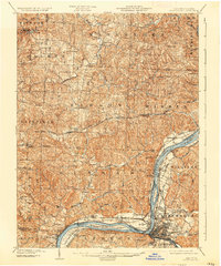
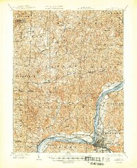
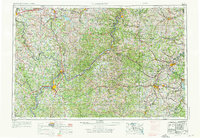
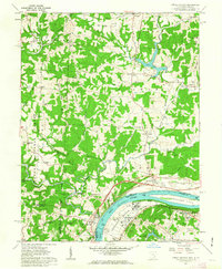
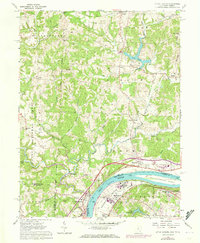
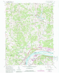
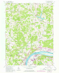
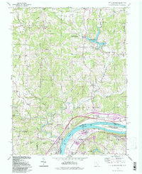
1980. 17 historic map sheets show this location, the earliest from 1902.
From the record
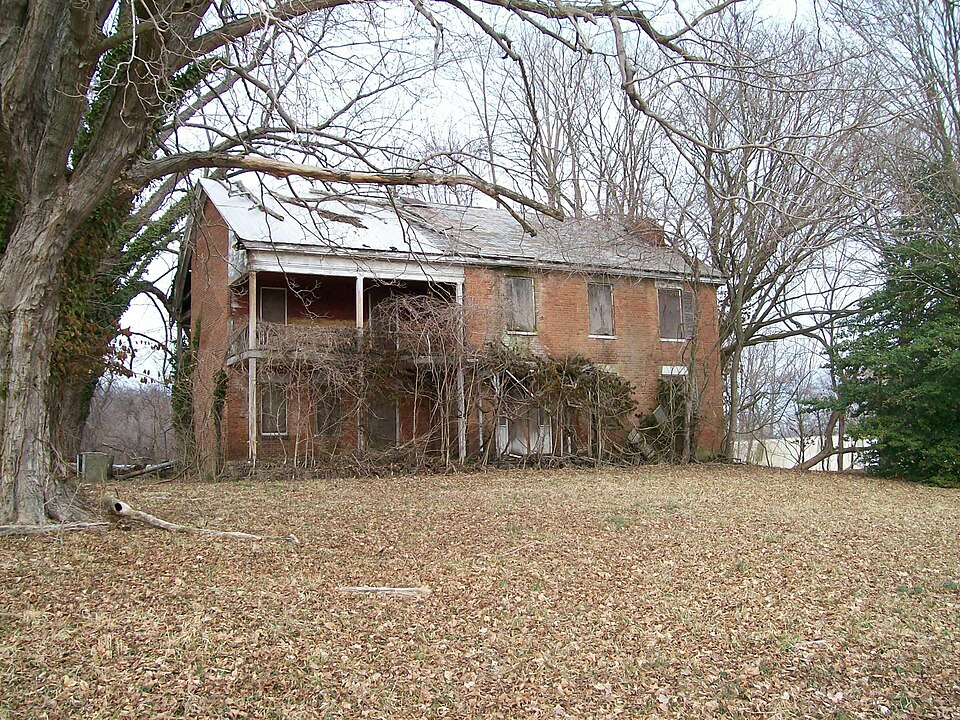
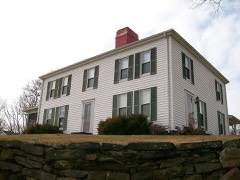
“The Walter Curtis House is a historic residence in far southern Washington County, Ohio, United States. Located south of Little Hocking, a community in southern Belpre Township, the house is a two-story structure constructed in 1827.”
Wikipedia article Walter Curtis House, CC BY-SA 4.0.
one of 39 National Register listings in Washington County · listed in 1980 · category: BUILDING · significant for POLITICS/GOVERNMENT; ARCHITECTURE · one of 1 National Historic Landmarks in Washington County.
Area of significance. POLITICS/GOVERNMENT; ARCHITECTURE
Acreage. 0.9
Township. Belpre township
Architectural style. Greek Revival architecture
National Register reference number.80003244- the number the National Park Service assigned this property when it was listed, and the key its nomination file is catalogued under at the National Archives.
Then and now
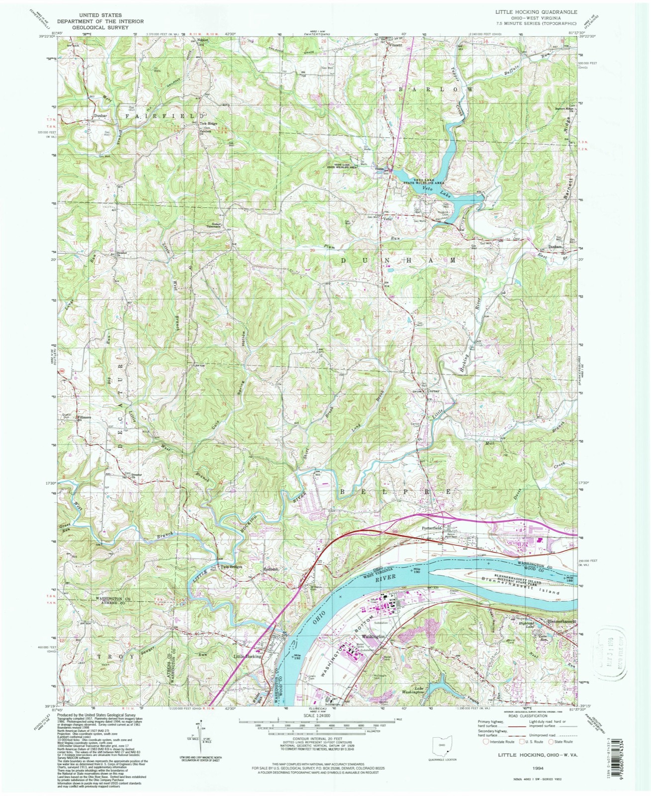
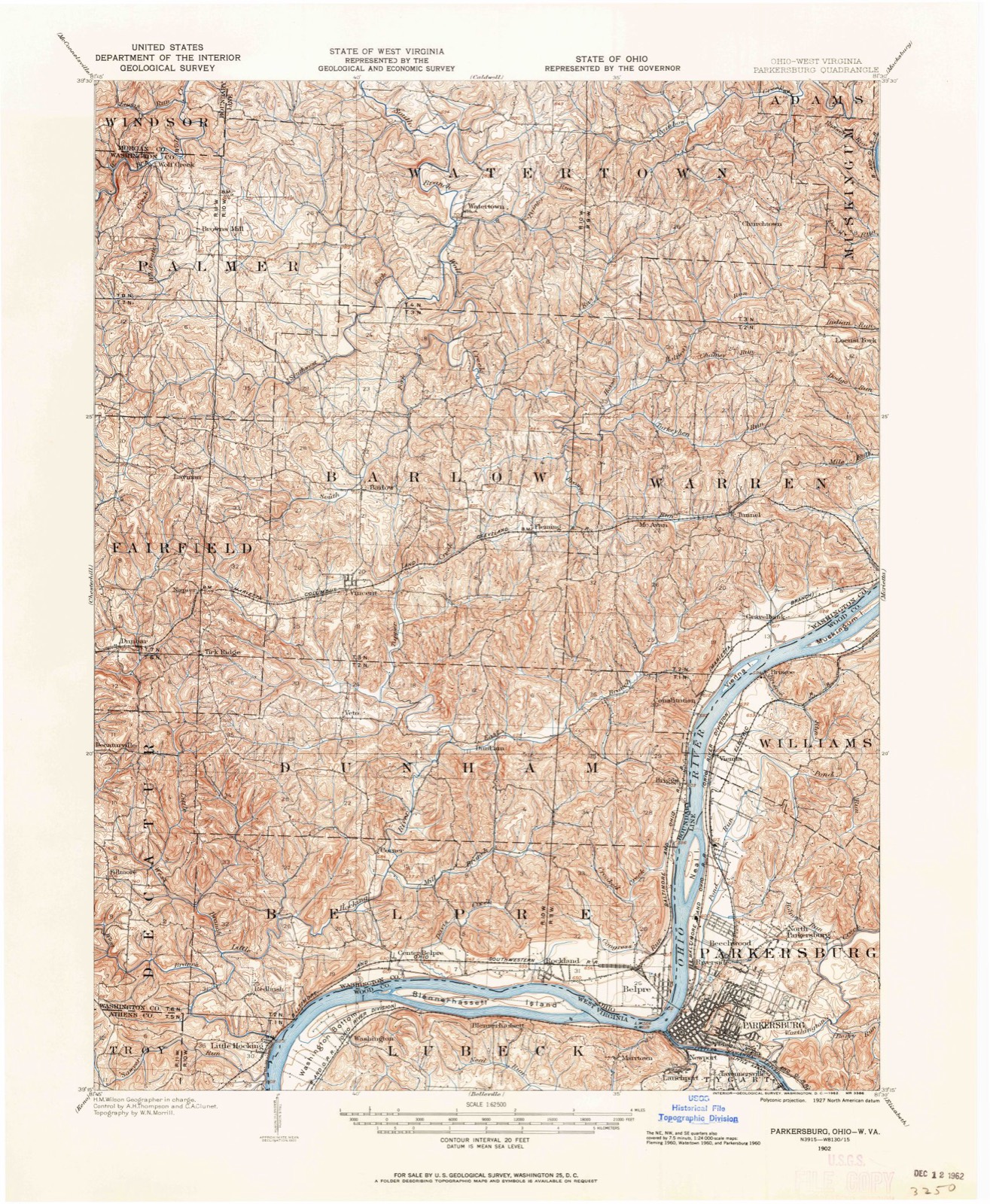
1902 to 1994
The ground this property stands on, surveyed
92 years apart. Drag the handle to wipe between them. Both sheets are
United States Geological Survey originals; neither has been altered.
19021994
What happened here
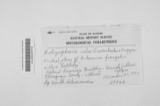
An account from the chapter on Belpre township, The inset identifies its exact
source book and publication year.
that occurred in the new settlement was that of Captain Zebulon King, who was assassinated by the Indians May 1, 1789. While busily engaged in clearing his lot in the middle settlement, he was shot and scalped, it is supposed by two Indians who had escaped from Fort Harmar, where they were confined by reason of their treacherous conduct towards the whites during the previous summer at Duncan's Falls.
The chapter on Belpre Township in History of Washington County, Ohio, published 1881 names Little Hocking. This is what it says, exactly as the scans read.
The general form of Belpre is similar to that of Washington county, of which it is the most southern township. Resembling a triangle, it has about eight miles of northern line and nearly seven miles on the west, while the Ohio river as an irregular hypothenuse meanders in a southwesterly direction. North and west, with a general tendency toward the south, are ranges of hills which alternately approach toward and recede from the valley of the Ohio. These hills have no special geological features. They are in many respects similar to their sister hills in the eastern part of the county, save that there are no large deposits of coal or petroleum. Towards the southern portion of the township there are slight indications of oil, and their seams of coal have occasionally been worked, but the labor is unremunerative. All along the line of the ridge which determines the course of the streams and extends from northeast to southwest, may be found in the out-croppings of the rocky sides an excellent quality of sandstone, especially adapted for building purposes, and in many places affording an excellent grind-stone grit. The principal quarry is a short distance above Little Hocking, and stone is taken from the vicinity of Belpre village.
The streams naturally seek the Ohio river, whose principal tributary in Belpre township is the Little Hocking, whose eastern and western forks, with their numerous branches, converge in the western part of the township, directing the enlarged stream towards the Ohio. Congress and Crooked creeks, in the eastern part of the township, Davis run in the centre, and Sawyer's and Big runs toward the southern extremity, are the only considerable streams independent of the Little Hocking. The hillsides rising from the glens and valleys bordering on these streams are covered with an abundant growth of forest trees, principally oak. Of late years the hill country has, in a measure, been cleared and cuitivated. As in the other hilly portions of the county the hill-tops are especially adapted to the growth of apple trees, and numerous orchards are found back of the valleys.
Regional context, not property-specific
evidence. The
federal wildfire occurrence database
lists 38 fires within 5 miles of Curtis, Walter, House between
1995 and 2019, burning about 39 acres in total. None started naturally. 1 was recorded as arson.
Distance is straight-line from the map coordinates, so a fire counted
here may appear on a neighbouring settlement's page as well.
Reported cause
Fires
Debris and open burning
22
Misuse of fire by a minor
3
Equipment and vehicle use
3
Smoking
2
Power generation/transmission/distribution
2
Recreation and ceremony
2
Fireworks
1
Arson/incendiarism
1
Other causes
1
Railroad operations and maintenance
1
The most recent of
them, most recent first, with the day each was reported and the service
that recorded it.
Regional context, not property-specific
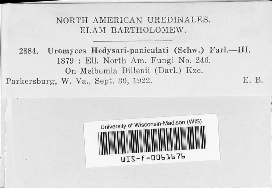
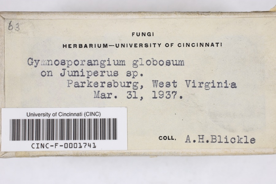
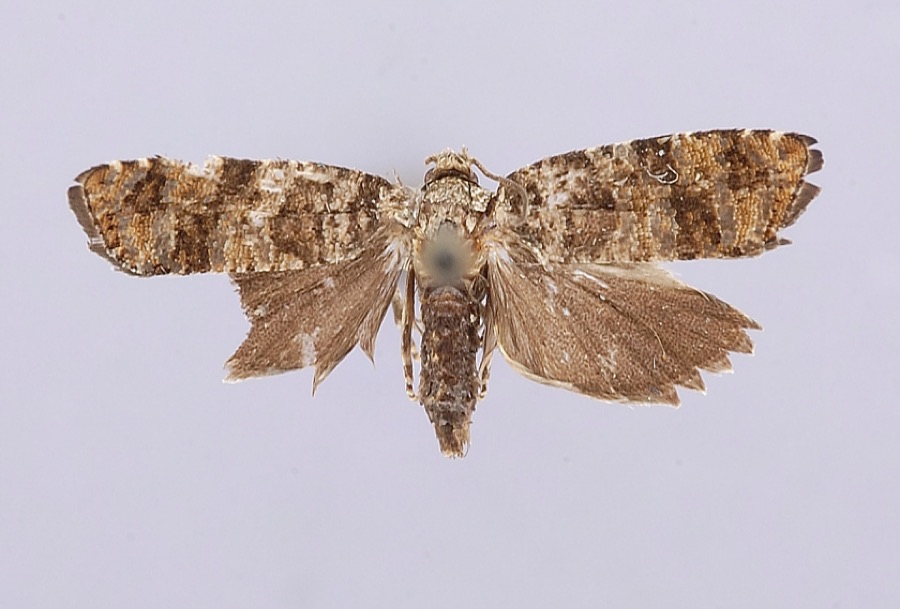
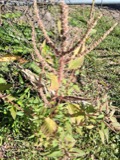
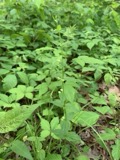
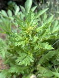
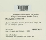
evidence. Museums hold 323 specimens
collected within 10 miles of Curtis, Walter, House between 1877 and
1974: 166 Animalia, 138 Fungi, 16 Plantae, 3 Chromista. 12 distinct Species records are shown.
Collected by A. C. Kinsey, Archer W. A., Archer, W. A. and others. Each is a
physical object with a catalogue
number, and each entry opens the museum's record. This is what was
collected and kept, not a survey of what lives here - nothing can be
concluded from a species being absent.
Regional context, not property-specific
evidence. The federal mineral resources record lists
3 workings within 5 miles of Curtis, Walter, House: 2 past producers, 1 producer.
1 still produces. What was taken out: Sand and Gravel, Construction, Zirconium. Distance is straight-line from the
map coordinates, so a quarry counted here may appear on a neighbouring
settlement's page as well.
Regional context, not property-specific
evidence. The National Weather Service names
Little Hocking, the town this property stands in, in 19 storm reports between 2003 and 2025: 13 thunderstorm wind, 4 hail, 1 lightning, 1 flood.
No death or injury is recorded in these reports. Each account below is quoted exactly as the forecast office
filed it, from the NOAA Storm Events Database, and each date
opens the federal record of that event.
The Ohio River gage at Willow Island Lock rose above its flood stage of 37 feet on the evening of the 16th. The river crested shortly after midnight on the 18th at just over 40 feet and dropped back below flood stage around sunrise on the 19th. This flooded Ohio Route 7 between Reno and Matamoras.||At the Marietta Pumphouse gage, the Ohio River rose above its flood stage of 35 feet late on the 16th, and crested at 37.9 feet, or just 0.1 below moderate flood, just after midnight on the 18th. The river returned below flood stage just after sunrise on the 19th. Many roads along the river in Marietta were flooded, including Stark Street, Pike Street, Elmwood Avenue, Hart Street, Greene Street and Ohio Street.||The river near Parkersburg, WV, rose above flood stage late on the 16th. Crest occurred mid morning on the 18th at 39.7 feet, almost 2 feet above moderate flood stage of 38 feet. The river fell back below flood stage just after noon on the 19th. This flooded Walnut Street and Scott Avenue in Belpre, along with portions of Dave's Marina.
A concentrated area of tree damage was along Newbury Road near the Little Hocking Cemetery. There were numerous hardwood trees with large branches snapped off. There were also some uprooted hardwoods snapped in half. Further toward the Ohio River, several softwood trees were snapped and topped. This concentrated area of damage was about a half mile wide. Maximum wind gusts were estimated around 85 mph. ||This same storm crossed the Ohio River and did considerable tree damage in the Washington Bottom area of Wood County in West Virginia. ||A few other fallen trees were also noted heading north toward Hocking Road and along Holdren Road.
United States Geological Survey topographic
sheets whose coverage includes this point. Matched by geocoding the centre of Little Hocking, because the National Register records a descriptive location rather than a street address, then
testing that coordinate against the published boundary of every sheet.
When this property was proposed for the
National Register, someone wrote the case for it: what the building is,
and why it matters. That document is a federal record in the public domain.
It is quoted below word for word, never summarised. The text was read off the scanned case file by machine, so the
occasional stray character is the recogniser's and the 1970s
typewriter's.
Description of the property
with an 8-panel door surrounded by rectangular transom and sidelights typical of the 7. Description date Condition ruins The Walter Curtis House is a 2-story residential structure of brick construction, 2-story porches on the front and back.Apparently this section was added or increased structure with the main doorway offset in the facade and featuring a trabeated doorway doorway. Original fenestration is intact, featuring 6/6 and 12/12 sash, plain stone house is a 2-story wing which is narrower than the main house and is distinguished by Check one -unexposed X good laid in common bond, covered by a gable roof. The main portion of the house is a 3-bay Greek Revival in the Midwest.
A delicate porch, probably added later, shields this to its present height at a later date than the original time of construction. remain. The property is located along the Ohio River at about mile 195.5, or 23 miles Areas of Significance-Check and justify below - prehistoric - archeology-historic . conservation _ science - agriculture . economics - sculpture . education _ military _ social/ _engineering - music X 1800-1899 _ commerce _ 1900 X politics/government _communications . invention Statement of
Statement of significance
(in one paragraph) The Curtis House is nominated as an unusually intact early Greek Revival farmhouse, and for its historical association with a local political figure who was also active in were generally of log or rudimentary vernacular wood frame construction, unlikethe Curtis House, which clearly stands out as an architectural ornament on the cultural Curtis (1759-1801). The elder Curtis was a Connecticut native who settled on this land Walter Curtis received a limited secondary education at the then-new Ohio University at Athens, and after reaching his majority, began building keelboats for trade on the river. He was in partnership with his brother Horace in the keel-boat business, travelling upriver as far as Pittsburgh and downriver to Cincinnati.
It is said that he often 1400-1499 8. Significance 1500-1599 1700-1799 industry Builder/Architect humanitarian theater law landscape. century were restricted to the larger settlements of the county, namely Marietta and literature transportation served as the homestead and was regarded as the best structure in the area at the time. as early as the 1790s;most high-style residences of the 1st quarter of the nineteenth The house was built for legislator-jurist Walter Curtis (1787-1876) son of Elezer - other (specify) - landscape architecture_ - religion X architecture _art early Ohio River commerce. The southeastern corner of the state of Ohio was settled 1n 1796.
The nominated 1827 house replaced an earlier 2-story log structure which had son, Austin, was a State Representative, Justice of the Peace, and served furing the exploration/settlement - - philosophy in Whig and Republican politics, serving as a State Representative from 1827-28, as 1827/28 1600-1699 Period Specific dates Dickinson, C. E.
Quoted from the National Register nomination
for reference 80003244, 39 pages, held by the National Archives in Record
Group 79. See the
catalogue record.
Listed places nearby
5 within 8 miles
Other National Register properties close
enough to walk or drive between, ordered by distance from this one. Both
positions come from the same geocoding pass that matched these properties
to their map sheets.
Listing record. National Park Service National Register of Historic Places, listed-properties dataset, current to 2026-05-22.
Map join. Address geocoded through the United States Census geocoder, then tested against the published boundary of every sheet in the USGS Historical Topographic Map Collection.
How this page is made. Listing fields come from federal records; map-sheet coverage is a labelled coordinate-to-boundary calculation, not a source-field claim.
Wildfire. Short, Karen C. 2022. Spatial wildfire occurrence data for the United States, 1992-2020 [FPA_FOD_20221014]. 6th Edition. Fort Collins, CO: Forest Service Research Data Archive. https://doi.org/10.2737/RDS-2013-0009.6 Collected with United States Government funding and usable without additional permissions or fees.
Specimens. Global Biodiversity Information Facility (GBIF), https://www.gbif.org/. Only records licensed CC0 or CC BY are used. Records licensed CC BY-NC are excluded because this site carries advertising. Images are checked individually and any whose licence is non-commercial, no-derivatives or unreadable is refused.
Mines and quarries. USGS Mineral Resources Data System (MRDS) https://mrdata.usgs.gov/mrds/ A work of the United States government, no copyright under 17 U.S.C. 105.
Storms. NOAA National Centers for Environmental Information, Storm Events Database https://www.ncei.noaa.gov/stormevents/ A work of the United States government, no copyright under 17 U.S.C. 105. Narratives are quoted verbatim from the National Weather Service report and are not edited or summarised.
 Block
Block