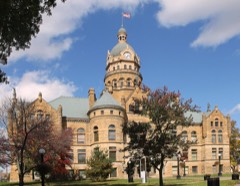
Listed on the National Register of Historic Places in
1978. A historic map-sheet match is not published yet. The record needs a coordinate-quality review before it can be joined to a sheet boundary.
From the record
one of 32 National Register listings in Trumbull County · listed in 1978 · category: Building · one of 1 National Historic Landmarks in Trumbull County.
National Register reference number.78003115- the number the National Park Service assigned this property when it was listed, and the key its nomination file is catalogued under at the National Archives.
Fires near this property
1 since 2019
Regional context, not property-specific
evidence. The
federal wildfire occurrence database
lists 1 fire within 5 miles of First Presbyterian Church between
2019 and 2019, burning about 2 acres in total. None started naturally. None was recorded as arson.
Distance is straight-line from the map coordinates, so a fire counted
here may appear on a neighbouring settlement's page as well.
Reported cause
Fires
Debris and open burning
1
The most recent of
them, most recent first, with the day each was reported and the service
that recorded it.
Regional context, not property-specific
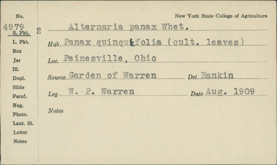
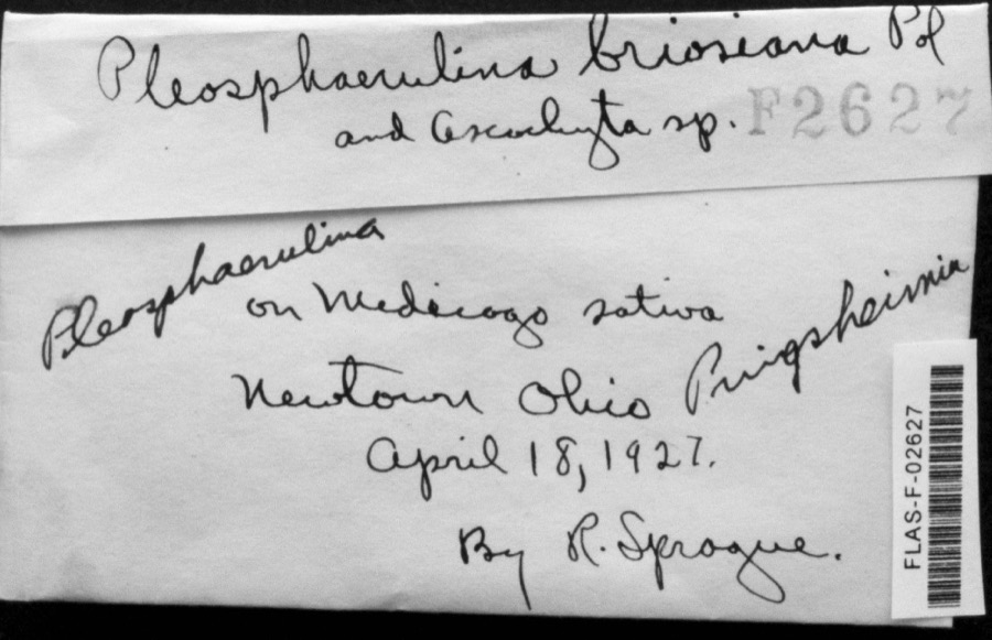
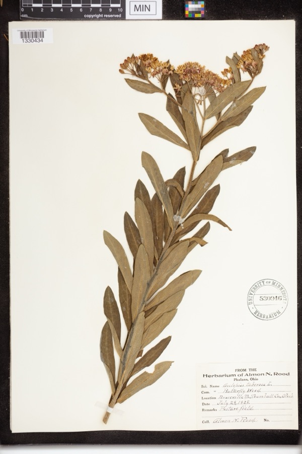
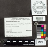
evidence. Museums hold 241 specimens
collected within 10 miles of First Presbyterian Church between 1890 and
1975: 193 Animalia, 40 Plantae, 4 Fungi, 2 Protozoa, 2 Chromista. 12 distinct Species records are shown.
Collected by A. N. Rood, Almon N. Rood, Armbruster, D. C. (Daniel C.) and others. Each is a
physical object with a catalogue
number, and each entry opens the museum's record. This is what was
collected and kept, not a survey of what lives here - nothing can be
concluded from a species being absent.
Regional context, not property-specific
evidence. The federal mineral resources record lists
4 workings within 5 miles of First Presbyterian Church: 3 producers, 1 plant.
All of them still produce. What was taken out: Iron, Titanium, Metal. Distance is straight-line from the
map coordinates, so a quarry counted here may appear on a neighbouring
settlement's page as well.
Regional context, not property-specific
evidence. The National Weather Service names
Warren, the town this property stands in, in 61 storm reports between 1996 and 2024: 35 thunderstorm wind, 24 hail, 1 flash flood, 1 lightning.
No death or injury is recorded in these reports. Each account below is quoted exactly as the forecast office
filed it, from the NOAA Storm Events Database, and each date
opens the federal record of that event.
A thunderstorm downburst with peak winds estimated to be at least 85 mph caused considerable damage on the northeast side of Warren. A distinct two mile long path of damage was observed. The first damage was observed in the Lincoln Park area of Warren. The damage path then stretched northeast across a neighborhood bordered to the south by Reeves Road and to the east by North Road. At least three apartment buildings along Cranberry Lane in this neighborhood sustained roof and siding damage. About a dozen homes in the area also sustained minor damage, mainly from missing siding or shingles. A couple of the homes did have trees land on them causing more significant roof damage. Dozens of trees and large limbs were downed along the damage path which was up to 150 yards in width. The damage path ended just east of State Route 82 near where it crosses Mosquito Creek.
A line of showers and thunderstorms moved east across Trumbull County knocking down trees throughout the county. Scattered power outages were reported.
Trumbull County Dispatch reported severe thunderstorm winds caused widespread trees and power lines down across the County, especially in Warren and Girard. Numerous power outages in Warren and Girard with many trees on homes causing roof damage.
Thunderstorm winds downed many trees, A house on the northwest side of Warren suffered major structural damage from a fallen tree. The tree damaged a large section of roof and crushed an exterior wall.
2 papers published in this town,
digitised by the Library of Congress and free to read: 0 issues,
0 pages. Every page is searchable, so a name or a street can be
looked for directly in what the town printed about itself at the time.
No historic map-sheet match is published
for this property yet. That does not mean no map exists. This record needs
a coordinate-quality review before it can be joined to a sheet boundary.
Browse the county's mapped places while that work is
pending.
From the nomination file
2,743 words on record
When this property was proposed for the
National Register, someone wrote the case for it: what the building is,
and why it matters. That document is a federal record in the public domain.
It is quoted below word for word, never summarised. The text was read off the scanned case file by machine, so the
occasional stray character is the recogniser's and the 1970s
typewriter's.
Description of the property
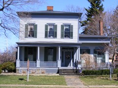
The Kinsman House, a two-story Greek Revival brick mansion, has a double-height Ionic portico, a full entablature, and brick pilasters dividing each bay. The was replaced in the Victorian mode, is full-height on the lower level with a bay Victorian style, with some original partitions removed, the main staircase relocated, frame, mortise-and-tenon Greek Revival structure with a Doric-columned portico. on the various extensions. The shuttered windows, with 6x6 and 6x9 lights, all have is mostly intact. The Adams House is a five bay, brick Federal style structure. It has a shallow hip towers flanking a central, round-arched entrance and rose window.
With their broach CONDITION EXCELLENT FAIR XALTERED shuttered double-hung window has a deep architrave which is repeated in the pro- The Mahoning Avenue Historic District is a block-long section of street with one and pilasters.Although the house has been altered to accommodate a double garage, characteristics are ornate cornice brackets, paneled friezes, ornamental window hoodmolds, and a single-story porch supported by delicate fluted Corinthian columns. front entrance has four Bohemian glass transom lights, and is flanked by sidelights The Perkins House is a two-story brick Victorian Italianate residence.Its major original flush weatherboarding. Inside, only the main hall running the width of CHECK ONE Minimal alterations to the High Victorian interior have been made.
side.The Victorianized parapet has a wide cornice and ornate frieze brackets.Each a firescape, and five apartments, the exterior and interior architectural detail accentuated architraves which are found on the ceiling-height interior frames.The window on the side wing.Inside, the house has been extensively altered in the The Harriet Taylor Upton House is a simplified wooden Greek Revival structure with windows.The fenestration is evenly spaced with stone lintels and sills.The central, pedimented central entrance has a transom and sidelights.
residence until the 1930's, when Hiram College acquired it for extension classes. owner. For some time, the house has served as the Warren City Hall. Harriet, married George W. Upton and in the 1890's was elected national treasurer of the National Women's Suffragist Association, a position she held for the next ART ECONOMICS INVENTION ARCHEOLOGY-HISTORIC EDUCATION SIGNIFICANCE COMMUNICATIONS PHILOSOPHY BUILDER/ARCHITECT AGRICULTURE PERIOD THEATER 1900- TRANSPORTATION XPOLITICS/GOVERNMENT SCULPTURE office annex.
MILITARY INDUSTRY XARCHITECTURE SCIENCE LITERATURE The Mahoning Avenue Historic District is a residential street of outstanding l9th XRELIGION for the initial nomination did not recognize their historical significance or being extended to include the structures on the eastern side of Mahoning Avenue, _EXPLORATION/SETTLEMENT two terms each. gift.Kinsman was a land speculator in partnership with his father-in-law, operating Leicester King, Warren merchant, state senator, and vice-presidential candidate fifteen years.The house became the the National Women's Suffragist Headquarters Perkins Kinsman. Her father, General Simon Perkins, provided the land for a wedding X1800-1899 their contribution to the district's visual cohesiveness.
_CONSERVATION The Kinsman House was built in 1832 for newly-married Frederick Kinsman and Alice William McKinley came here to cultivate the political and financial support of its Republican Party.Charles W. Smith was a lawyer who moved to Warren in 1850.He The Perkins House, designed as the residence of Henry B. Perkins, was an important The Smith House was built in l828 by master builder Isaac Ladd as the home of location of nationally important political activities.The western half of the political and social center in Ohio.Many prominent 19th Century political figures -1600-1699 in 1847 on the Barnburner-Liberty Party ticket.In 1880,Senator Roscoe Conkling a delegate and presidential elector in 1864 and 1868.
Quoted from the National Register nomination
for reference 78003115, 17 pages, held by the National Archives in Record
Group 79. See the
catalogue record.
Listed places nearby
6 within 8 miles
Other National Register properties close
enough to walk or drive between, ordered by distance from this one. Both
positions come from the same geocoding pass that matched these properties
to their map sheets.
Listing record. National Park Service National Register of Historic Places, listed-properties dataset, current to 2026-05-22.
Map join. Address geocoded through the United States Census geocoder, then tested against the published boundary of every sheet in the USGS Historical Topographic Map Collection.
How this page is made. Listing fields come from federal records; map-sheet coverage is a labelled coordinate-to-boundary calculation, not a source-field claim.
Wildfire. Short, Karen C. 2022. Spatial wildfire occurrence data for the United States, 1992-2020 [FPA_FOD_20221014]. 6th Edition. Fort Collins, CO: Forest Service Research Data Archive. https://doi.org/10.2737/RDS-2013-0009.6 Collected with United States Government funding and usable without additional permissions or fees.
Specimens. Global Biodiversity Information Facility (GBIF), https://www.gbif.org/. Only records licensed CC0 or CC BY are used. Records licensed CC BY-NC are excluded because this site carries advertising. Images are checked individually and any whose licence is non-commercial, no-derivatives or unreadable is refused.
Mines and quarries. USGS Mineral Resources Data System (MRDS) https://mrdata.usgs.gov/mrds/ A work of the United States government, no copyright under 17 U.S.C. 105.
Storms. NOAA National Centers for Environmental Information, Storm Events Database https://www.ncei.noaa.gov/stormevents/ A work of the United States government, no copyright under 17 U.S.C. 105. Narratives are quoted verbatim from the National Weather Service report and are not edited or summarised.
 Block
Block