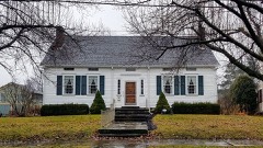
Listed on the National Register of Historic Places in
1971. A historic map-sheet match is not published yet. The record needs a coordinate-quality review before it can be joined to a sheet boundary.
From the record
one of 32 National Register listings in Trumbull County · listed in 1971 · category: Building · one of 1 National Historic Landmarks in Trumbull County.
National Register reference number.71000656- the number the National Park Service assigned this property when it was listed, and the key its nomination file is catalogued under at the National Archives.
Fires near this property
1 since 2019
Regional context, not property-specific
evidence. The
federal wildfire occurrence database
lists 1 fire within 5 miles of Kinsman House between
2019 and 2019, burning about 2 acres in total. None started naturally. None was recorded as arson.
Distance is straight-line from the map coordinates, so a fire counted
here may appear on a neighbouring settlement's page as well.
Reported cause
Fires
Debris and open burning
1
The most recent of
them, most recent first, with the day each was reported and the service
that recorded it.
Regional context, not property-specific
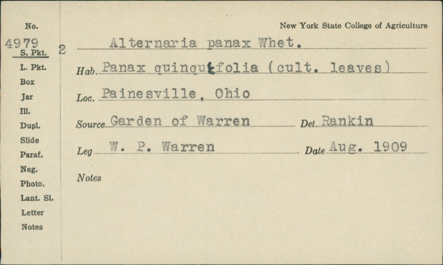
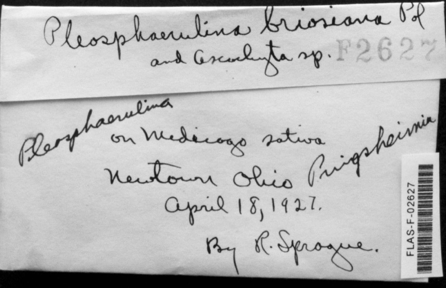
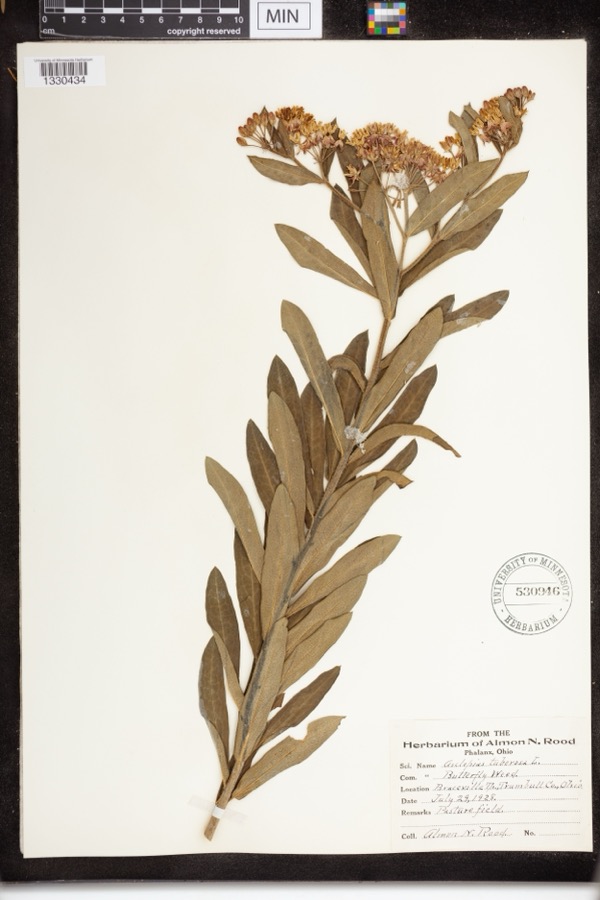
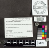
evidence. Museums hold 246 specimens
collected within 10 miles of Kinsman House between 1890 and
1975: 198 Animalia, 40 Plantae, 4 Fungi, 2 Protozoa, 2 Chromista. 12 distinct Species records are shown.
Collected by A. N. Rood, Almon N. Rood, Armbruster, D. C. (Daniel C.) and others. Each is a
physical object with a catalogue
number, and each entry opens the museum's record. This is what was
collected and kept, not a survey of what lives here - nothing can be
concluded from a species being absent.
Regional context, not property-specific
evidence. The federal mineral resources record lists
4 workings within 5 miles of Kinsman House: 3 producers, 1 plant.
All of them still produce. What was taken out: Iron, Titanium, Metal. Distance is straight-line from the
map coordinates, so a quarry counted here may appear on a neighbouring
settlement's page as well.
Regional context, not property-specific
evidence. The National Weather Service names
Warren, the town this property stands in, in 61 storm reports between 1996 and 2024: 35 thunderstorm wind, 24 hail, 1 flash flood, 1 lightning.
No death or injury is recorded in these reports. Each account below is quoted exactly as the forecast office
filed it, from the NOAA Storm Events Database, and each date
opens the federal record of that event.
A thunderstorm downburst with peak winds estimated to be at least 85 mph caused considerable damage on the northeast side of Warren. A distinct two mile long path of damage was observed. The first damage was observed in the Lincoln Park area of Warren. The damage path then stretched northeast across a neighborhood bordered to the south by Reeves Road and to the east by North Road. At least three apartment buildings along Cranberry Lane in this neighborhood sustained roof and siding damage. About a dozen homes in the area also sustained minor damage, mainly from missing siding or shingles. A couple of the homes did have trees land on them causing more significant roof damage. Dozens of trees and large limbs were downed along the damage path which was up to 150 yards in width. The damage path ended just east of State Route 82 near where it crosses Mosquito Creek.
A line of showers and thunderstorms moved east across Trumbull County knocking down trees throughout the county. Scattered power outages were reported.
Trumbull County Dispatch reported severe thunderstorm winds caused widespread trees and power lines down across the County, especially in Warren and Girard. Numerous power outages in Warren and Girard with many trees on homes causing roof damage.
Thunderstorm winds downed many trees, A house on the northwest side of Warren suffered major structural damage from a fallen tree. The tree damaged a large section of roof and crushed an exterior wall.
2 papers published in this town,
digitised by the Library of Congress and free to read: 0 issues,
0 pages. Every page is searchable, so a name or a street can be
looked for directly in what the town printed about itself at the time.
No historic map-sheet match is published
for this property yet. That does not mean no map exists. This record needs
a coordinate-quality review before it can be joined to a sheet boundary.
Browse the county's mapped places while that work is
pending.
Named in the fire insurance atlases
Sanborn surveyors printed an index of the
town's establishments at the front of each atlas. This property is named in
one, read straight off the scanned sheet.
When this property was proposed for the
National Register, someone wrote the case for it: what the building is,
and why it matters. That document is a federal record in the public domain.
It is quoted below word for word, never summarised. The text was read off the scanned case file by machine, so the
occasional stray character is the recogniser's and the 1970s
typewriter's.
Description of the property
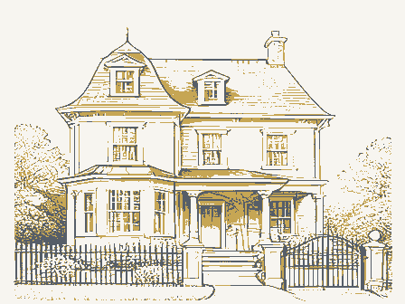
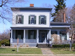
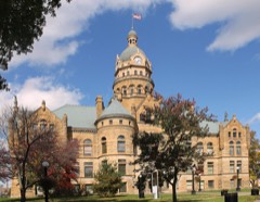
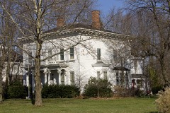
unchanged "Millionaires' Rows" of Ohio. This row of structures on spacious woodwork and barrel-vaulted ceiling, remains unchanged. The original Revival brick mansion with a two-story Ionic portico, was built in 1832, during the 1960's. Original mantels and other woodwork removed from the major changes made. Original painted frescoes remain in the first and Warren City Hall. Minimal alterations to the High Victorian interior of Progress and rising land values have long ago rendered these large homes Moved offices. and historical functions.Also at this address is the Kinsman Law and Land fluted Corinthian columns. carriage house in poor condition, for which there are no restoration plans.
Exampt from this application on the land is a late 19th century PERIOD (Check One or More as Appropriate) Pre-Columbian | - 16th Century SPECIFIC DATE(S) (If Applicable and Known) * Political - Landscape - Literature STATEMENT OF
Statement of significance
historical, architecturally-important structures in Trumbull County. during the 19th century, from the Federal through the Victorian periods. The Smith House was built in 1828 by master builder Isaac Ladd as the home of Leicester King, Warren merchant, state senator and vice-presidential S. Grant plugged for a Republican victory at the polls, then went to Revival office building adjacent to his home, which he built in the 1830's. By 1840 Kinsman was paying taxes on 1/15 of all the land in Ohio, attesting Railroad. Prominent in Republican political circles, Kinsman was a delegate James A. Garfield, Rutherford B.
Hayes, Benjamin Harrison and William Mckinley, all of whom were house guests at least once during their political there are plans to build a modern, detached annex for city offices on the mansion grounds, there are no plans by the city to abandon or destroy the Commerce Conservation house. losophy Architecture Engineering Theater Communications Aboriginal Science Prehistoric SIGNIFICANCE Transportation itarian Religion/Phi Music Agriculture Sculpture Social/Human- Invention The Perkins House also has important associations with state and national Urban Planning Mentor for a frigid meeting with presidential candidate James A.Garfield.
The remnants of what was once a grand mansion-lined boulevard, these Education The Mahoning Avenue Historical Area in Warren is the finest assemblage of Perkins, the house was an important political and social center of the four buildings are magnificent reminders of the master builder's art the county for a courthouse office annex.
Quoted from the National Register nomination
for reference 71000656, 16 pages, held by the National Archives in Record
Group 79. See the
catalogue record.
Listed places nearby
6 within 8 miles
Other National Register properties close
enough to walk or drive between, ordered by distance from this one. Both
positions come from the same geocoding pass that matched these properties
to their map sheets.
Listing record. National Park Service National Register of Historic Places, listed-properties dataset, current to 2026-05-22.
Map join. Address geocoded through the United States Census geocoder, then tested against the published boundary of every sheet in the USGS Historical Topographic Map Collection.
How this page is made. Listing fields come from federal records; map-sheet coverage is a labelled coordinate-to-boundary calculation, not a source-field claim.
Wildfire. Short, Karen C. 2022. Spatial wildfire occurrence data for the United States, 1992-2020 [FPA_FOD_20221014]. 6th Edition. Fort Collins, CO: Forest Service Research Data Archive. https://doi.org/10.2737/RDS-2013-0009.6 Collected with United States Government funding and usable without additional permissions or fees.
Specimens. Global Biodiversity Information Facility (GBIF), https://www.gbif.org/. Only records licensed CC0 or CC BY are used. Records licensed CC BY-NC are excluded because this site carries advertising. Images are checked individually and any whose licence is non-commercial, no-derivatives or unreadable is refused.
Mines and quarries. USGS Mineral Resources Data System (MRDS) https://mrdata.usgs.gov/mrds/ A work of the United States government, no copyright under 17 U.S.C. 105.
Storms. NOAA National Centers for Environmental Information, Storm Events Database https://www.ncei.noaa.gov/stormevents/ A work of the United States government, no copyright under 17 U.S.C. 105. Narratives are quoted verbatim from the National Weather Service report and are not edited or summarised.
 Block
Block