Block
From the record
One of 426 National Register listings published here for Cuyahoga County · listed in 1979 · category: Structure.
Sources: the case file at the National Archives · the National Register database, National Park Service
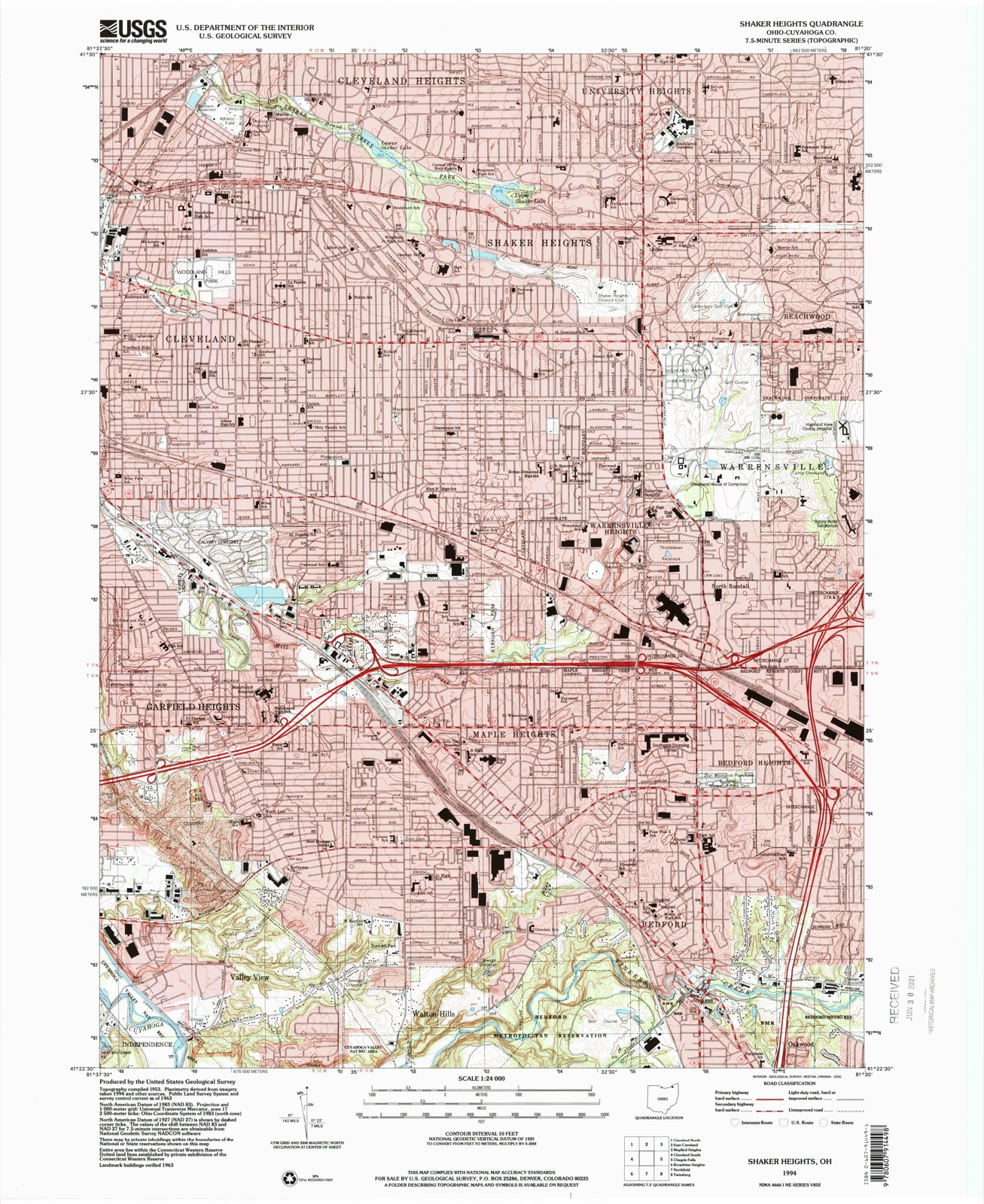
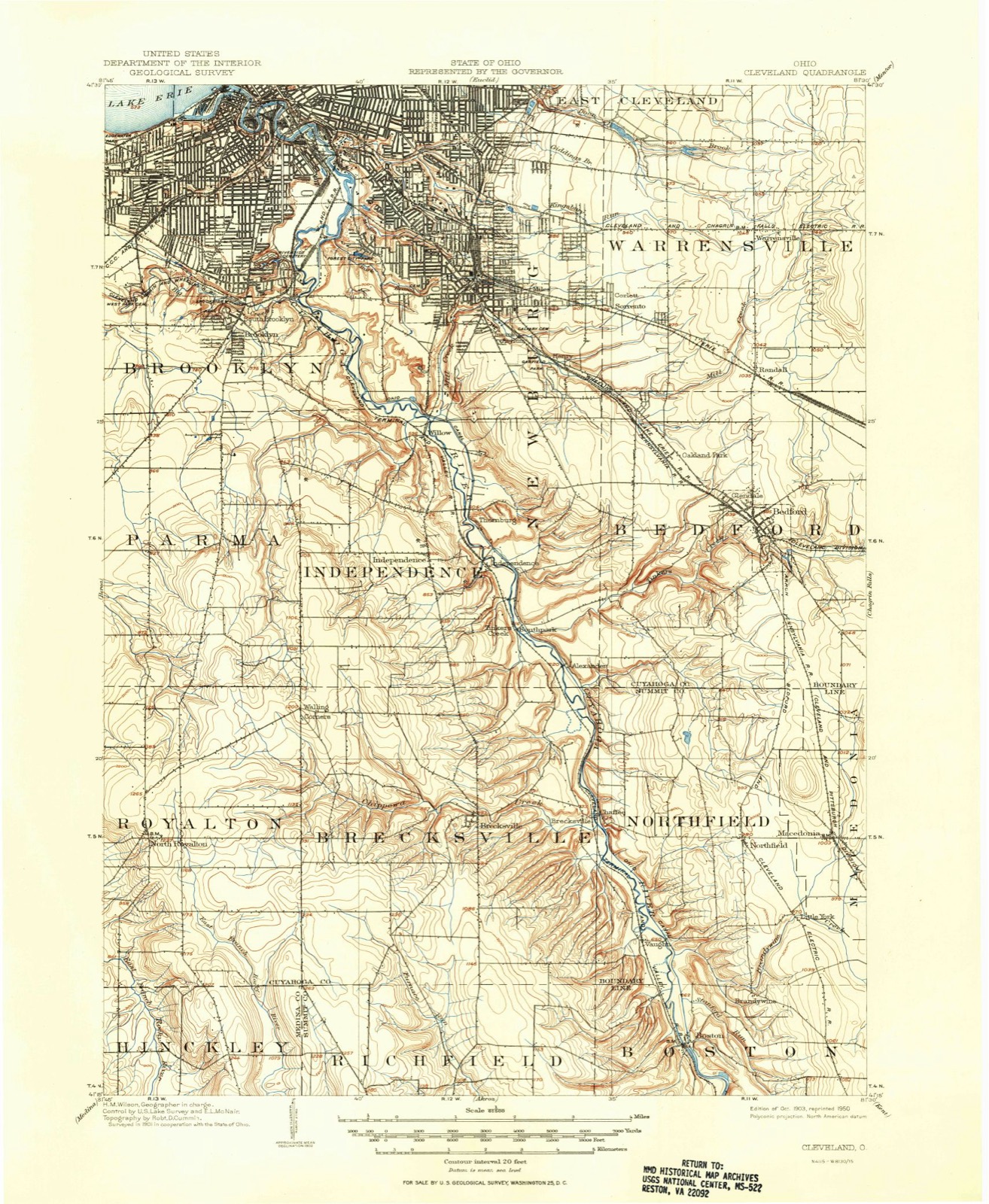
Listed on the National Register of Historic Places in 1979. 8 historic topographic surveys show this location, the earliest from 1903.
One of 426 National Register listings published here for Cuyahoga County · listed in 1979 · category: Structure.
Sources: the case file at the National Archives · the National Register database, National Park Service
The ground this property stands on, surveyed 91 years apart. Drag the handle to wipe between them. Both sheets are United States Geological Survey originals; neither has been altered.
Regional context, not property-specific evidence. The federal wildfire occurrence database lists 3 fires within 5 miles of Lock No. 39 and Spillway between 1993 and 2018, burning about 8 acres in total. 1 started naturally. 1 was recorded as arson. Distance is straight-line from the map coordinates, so a fire counted here may appear on a neighbouring settlement's page as well.
| Reported cause | Fires |
|---|---|
| Arson/incendiarism | 1 |
| Missing data/not specified/undetermined | 1 |
| Natural | 1 |
The most recent of them, most recent first, with the day each was reported and the service that recorded it.
| Date | Cause | Size | Reported by | Name on the report |
|---|---|---|---|---|
| 21 September 1993 | Arson/incendiarism | under an acre | Cuyahoga Valley National Park | VANACHEK |
| 28 March 2000 | Missing data/not specified/undetermined | 7.3 acres | Cuyahoga Valley National Park | STONE |
| 18 March 2018 | Natural | under an acre | Cuyahoga Valley National Park | HILLSIDE ROAD |
Regional context, not property-specific evidence. Museums hold 2,891 specimens collected within 10 miles of Lock No. 39 and Spillway between 1850 and 1975: 2,490 Animalia, 213 Fungi, 109 Plantae, 73 Protozoa, 4 Unrecorded, 1 Chromista, 1 incertae sedis. 12 distinct Species records are shown. Collected by A. D. Huryn, A. D. Selby, A. Hall and others. Each is a physical object with a catalogue number, and each entry opens the museum's record. This is what was collected and kept, not a survey of what lives here - nothing can be concluded from a species being absent.
| Image | Species | Year | Collected by | Where, as recorded |
|---|---|---|---|---|
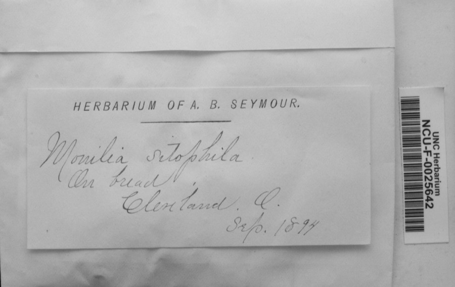 | Monilia sitophila (Mont.) Sacc. | 1894 | Seymour, Arthur Bliss | Cleveland, O. [Ohio] |
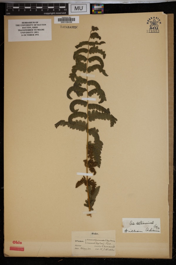 | Osmunda claytoniana L. | 1894 | Winkler, H.J. | Cleveland. |
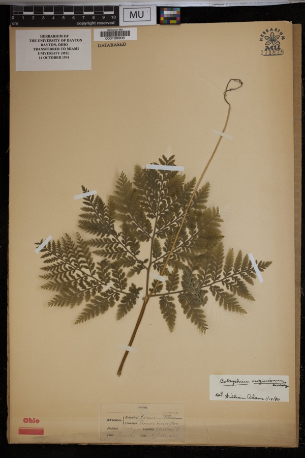 | Botrychium virginianum (L.) Sw. | 1897 | Winkler, H.J. | Woods, Cleveland. |
| Boraginaceae | 1850 | not recorded | Cleveland. | |
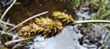 | Carex canescens L. | 1850 | Illegible collector name | Cleveland. |
 | Catillaria tricolor (Lam.) Th.Fr. | 1854 | G. Dixon | Cleveland, Bousdale Hill |
 | Melanerpes carolinus (Linnaeus, 1758) | 1854 | Robert Kennicott | Cleveland |
 | Abrothallus parmeliarum (Sommerf.) Nyl., 1869 | 1860 | Mudd Wm. | Cleveland |
 | Thryothorus ludovicianus ludovicianus (Latham, 1790) | 1860 | not recorded | Cleveland |
 | Colaptes auratus luteus Bangs, 1898 | 1871 | Collector(s): unknown | Cleveland |
 | Timmia megapolitana Hedw. | 1871 | E. N. Claassen | |
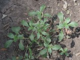 | Amaranthus blitoides S.Watson | 1874 | C. E. O. Kuntze | Cleveland |
All 2,891 specimens within 10 miles, at the Global Biodiversity Information Facility.
Regional context, not property-specific evidence. The federal mineral resources record lists 8 workings within 5 miles of Lock No. 39 and Spillway: 4 producers, 4 past producers. 4 still produce. What was taken out: Clay, Sand and Gravel, Construction, Bloating Material, Stone, Crushed/Broken. Distance is straight-line from the map coordinates, so a quarry counted here may appear on a neighbouring settlement's page as well.
| Where | Site | Commodity | Status | Recorded |
|---|---|---|---|---|
| Independence | Bloating Material | Producer | Sedimentary | |
| Rockside Quarry | Stone, Crushed/Broken | Producer | ||
| Terra Visa Gravel Pit | Sand and Gravel, Construction | Past Producer | Sedimentary | |
| Terra Visa Gravel Pit | Sand and Gravel, Construction | Past Producer | ||
| Hydraulic Press Brick Company Pit | Clay | Past Producer | Sedimentary | |
| Hydraulic Press Brick Company Pit | Clay | Producer | ||
| Hydraulic Shale Pit | Clay | Producer | ||
| Independence Clay Pit | Clay | Past Producer |
Regional context, not property-specific evidence. The National Weather Service names Valley View, the town this property stands in, in 7 storm reports between 1999 and 2023: 3 hail, 1 tornado, 1 thunderstorm wind, 1 flash flood. No death or injury is recorded in these reports. Each account below is quoted exactly as the forecast office filed it, from the NOAA Storm Events Database, and each date opens the federal record of that event.
| When | Event | Place named | Harm | What the report says |
|---|---|---|---|---|
| July 2013 | Flash Flood | Valley View | $500,000 | Nearly 4.5 inches of rain was reported over southern Cuyahoga County. The resulting flooding was primarily to roads and infrastructure, but there was some basement flooding mainly in the Berea area. Some impacts include widespread metropark flooding. The Canal Road in Valley View was closed from Rockside to Stone due to sinkhole conditions. In Macedonia there was a partial bridge collapse. |
| July 1999 | Tornado (F1) | Valley View | $175,000 | The tornado touched down near Schrieber Road then travelled south into Summit County. The damage path was around four miles in length and was non-continuous. Approximately 200 trees were downed along the damage path. A house in Valley View had several windows blown out and also suffered roof and chimney damage. The roof of the house was penetrated in couple of spots by flying debris. A small building nearby was blown off of its foundation and a car was also significantly damaged in the area. Several other homes and a barn sustained roof damage from fallen trees and one house had all of its window screens blown out. A semi trailer was flipped on its side near Hub Park. |
| June 2006 | Thunderstorm Wind | Valley View | $10,000 | Several trees were reported down. |
| June 2002 | Hail | Valley View | $5,000 | Dime size hail was observed. |
| April 2018 | Flood | Valley View | $3,000 | The Cuyahoga River at Independence, a river forecast site, reach moderate flood stage. The river reached flood stage around 8 pm on the 15th, exceeded moderate flood stage a few hours later, and crested at 20.9 feet at 6 am on the 1th. The river came out of banks flooding roads in the Valley View community. Some garages and basements were flooded, but damage was limited. The major flood stage, 21.0 feet, was recently raised due to extensive mitigation efforts which were validated during this event. |
| July 2023 | Hail | Valley View | - | Hail up to ping pong ball-size in Valley View. |
| June 2000 | Hail | Valley View | - | no account filed |
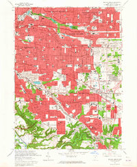
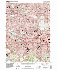
United States Geological Survey topographic sheets whose coverage includes this point. Matched by taking the coordinate the National Park Service records for this property, then testing that coordinate against the published boundary of every sheet.
When this property was proposed for the National Register, someone wrote the case for it: what the building is, and why it matters. That document is a federal record in the public domain. It is reproduced in full on its own page, word for word and never summarised. The text was read off the scanned case file by machine, so the occasional stray character is the recogniser's and the 1970s typewriter's.
The whole case file for this property - 769 words, 4 pages, reproduced complete.
Quoted from the National Register nomination for reference 79000292, 4 pages, held by the National Archives in Record Group 79. See the catalogue record.
Other National Register properties close enough to walk or drive between, ordered by distance from this one. Both positions come from the same geocoding pass that matched these properties to their map sheets.
| Photograph | Property | Distance | Listed |
|---|---|---|---|
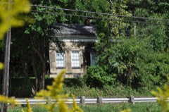 | Abraham Ulyatt House | 0.4 miles | 1979 |
| William Tricker Inc. Historic District | 0.8 miles | 2001 | |
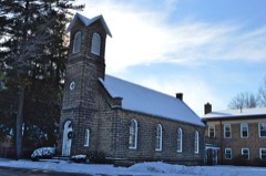 | Independence Presbyterian Church | 1.0 miles | 1977 |
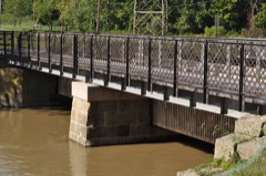 | Ohio and Erie Canal | 1.3 miles | 1966 |
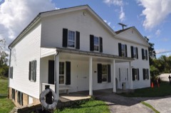 | Lock Tender's House and Inn | 1.4 miles | 1979 |
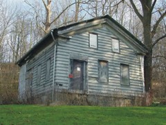 | William Knapp House | 1.4 miles | 1979 |
| National Archives record | The nomination case file for reference 79000292 in Record Group 79. |
| Cuyahoga County | All 426 listed properties in this county. |