Listed on the National Register of Historic Places in
1979. A historic map-sheet match is not published yet. The record needs a coordinate-quality review before it can be joined to a sheet boundary.
From the record
“(1.) John R., born July "27, 1869; was graduated from Boston University with the degrees of A.B., A.M. and Ph.D.; married Jennie Florence Ditmars (B.U. '96), June 27, 1907; is a member of the New England Conference.”
John Ainsworth Dunn, Gardner, Massachusetts (1908). Machine-read text.
one of 500 National Register listings in Worcester County · listed in 1979 · category: Building · one of 1 National Historic Landmarks in Worcester County.
His first experience in the chair business was in 1852, when he worked in a factory in East Gardner, just below the farm of his greatgrandfather, giving three months' time to learn the art, which he has practised so many years. He also worked for a time in Fitchburg, and afterward in Ashburnham. In 1855, with less than fifty dollars in his pocket, he came to Gardner, finding employment in the works of the Heywood Chair Manufacturing Company, where he remained for the next nine years.
In connection with the manufacturing plant at Gardner, offices, and warehouses are maintained at Chicago, Boston, and St. Paul, and in addition to the business passing through these houses, Mr. Dunn has a large direct trade with the principal chair manufacturers at home and abroad.
Regional context, not property-specific
evidence. The
federal wildfire occurrence database
lists 78 fires within 5 miles of Smith, F.W., Silver Company between
2015 and 2020, burning about 40 acres in total. None started naturally. 2 were recorded as arson.
Distance is straight-line from the map coordinates, so a fire counted
here may appear on a neighbouring settlement's page as well.
Reported cause
Fires
Debris and open burning
45
Smoking
11
Missing data/not specified/undetermined
10
Recreation and ceremony
5
Misuse of fire by a minor
3
Arson/incendiarism
2
Equipment and vehicle use
1
Railroad operations and maintenance
1
The most recent of
them, most recent first, with the day each was reported and the service
that recorded it.
Regional context, not property-specific
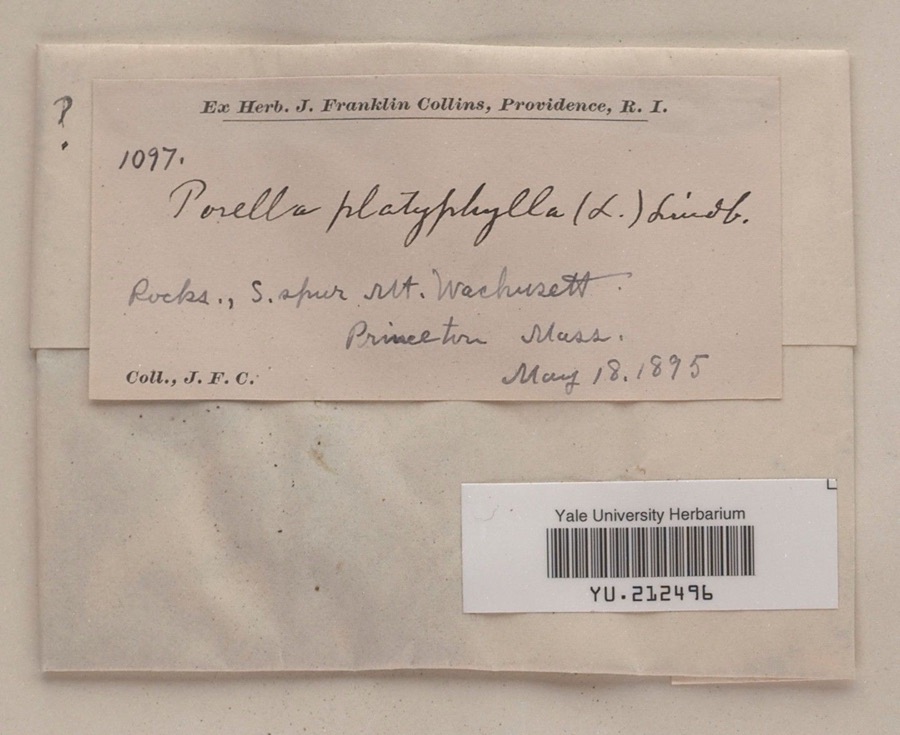
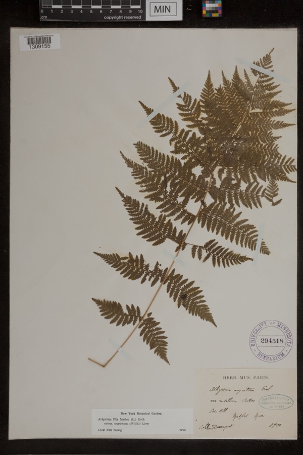
evidence. Museums hold 567 specimens
collected within 10 miles of Smith, F.W., Silver Company between 1870 and
1973: 310 Plantae, 163 Animalia, 89 Fungi, 3 Protozoa, 1 Unrecorded, 1 Chromista. 12 distinct Species records are shown.
Collected by A., A. B. Seymour, A. F. Newton and others. Each is a
physical object with a catalogue
number, and each entry opens the museum's record. This is what was
collected and kept, not a survey of what lives here - nothing can be
concluded from a species being absent.
Regional context, not property-specific
evidence. The federal mineral resources record lists
7 workings within 5 miles of Smith, F.W., Silver Company: 5 past producers, 2 producers.
2 still produce. What was taken out: Sand and Gravel, Construction. Distance is straight-line from the
map coordinates, so a quarry counted here may appear on a neighbouring
settlement's page as well.
Regional context, not property-specific
evidence. The National Weather Service names
Gardner, the town this property stands in, in 26 storm reports between 1995 and 2020: 14 hail, 6 thunderstorm wind, 2 lightning, 2 flood.
The reports record 2 injuries. Each account below is quoted exactly as the forecast office
filed it, from the NOAA Storm Events Database, and each date
opens the federal record of that event.
A tree and several large tree limbs on Edgell STreet in Gardner were downed by thunderstorm winds. Trees in Ashuburnham also were downed with one blocking a road.
In Gardner, there were many areas of flooding. There was one foot of water on a section of Route 2A at 618 PM EST. A car was stuck in flooding on Timpany Blvd. at 643 PM EST. Chestnut Street at Union Square was flooded and impassable at 648 PM EST. A basement was flooded on Dean Street at 658 PM EST.
No historic map-sheet match is published
for this property yet. That does not mean no map exists. This record needs
a coordinate-quality review before it can be joined to a sheet boundary.
Browse the county's mapped places while that work is
pending.
Listed places nearby
6 within 8 miles
Other National Register properties close
enough to walk or drive between, ordered by distance from this one. Both
positions come from the same geocoding pass that matched these properties
to their map sheets.
Listing record. National Park Service National Register of Historic Places, listed-properties dataset, current to 2026-05-22.
Map join. Address geocoded through the United States Census geocoder, then tested against the published boundary of every sheet in the USGS Historical Topographic Map Collection.
How this page is made. Listing fields come from federal records; map-sheet coverage is a labelled coordinate-to-boundary calculation, not a source-field claim.
Wildfire. Short, Karen C. 2022. Spatial wildfire occurrence data for the United States, 1992-2020 [FPA_FOD_20221014]. 6th Edition. Fort Collins, CO: Forest Service Research Data Archive. https://doi.org/10.2737/RDS-2013-0009.6 Collected with United States Government funding and usable without additional permissions or fees.
Specimens. Global Biodiversity Information Facility (GBIF), https://www.gbif.org/. Only records licensed CC0 or CC BY are used. Records licensed CC BY-NC are excluded because this site carries advertising. Images are checked individually and any whose licence is non-commercial, no-derivatives or unreadable is refused.
Mines and quarries. USGS Mineral Resources Data System (MRDS) https://mrdata.usgs.gov/mrds/ A work of the United States government, no copyright under 17 U.S.C. 105.
Storms. NOAA National Centers for Environmental Information, Storm Events Database https://www.ncei.noaa.gov/stormevents/ A work of the United States government, no copyright under 17 U.S.C. 105. Narratives are quoted verbatim from the National Weather Service report and are not edited or summarised.
 Block
Block