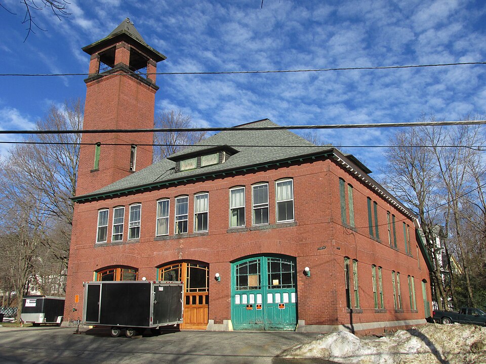
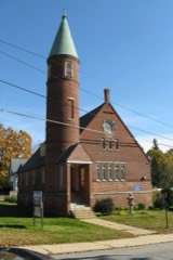
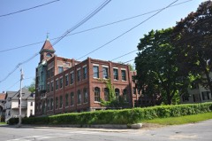
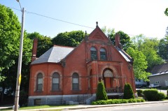
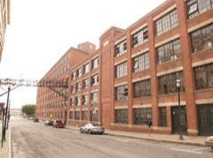
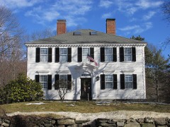
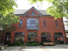
National Register reference number.80001677- the number the National Park Service assigned this property when it was listed, and the key its nomination file is catalogued under at the National Archives.
The town of Gardner, which has recently (1885) completed the first century of its corporate existence and duly celebrated the memorable event with appropriate exercises and festivities, is one of the most enterprising and prosperous of all those in the county whose annals these pages record. Taking its place in the retinue of Massachusetts municipalities soon after the struggle for American independence, it was characterized at the outset by the spirit that gave birth to the rising republic, and, under the influence of the same spirit, has kept abreast of the advancing civilization of the land down to the present day. During the earlier part of its career, its growth in wealth, population and social standing, in industrial, commercial and political importance, though slow and uneventful, was yet sturdy and healthful. But in later years new life and greatly increased vigor have entered into and stimulated its various interests and activities, resulting in a rapid and notable development of its resources, and a highly honorable and gratifying progress in every department of responsibility and effort within its borders. Its advance for the last decade has been truly remarkable in many aspects of it, and reflects great credit upon those of every class and degree who have in any way contributed to it. Hardly to be reckoned, at this time, as one of the foremost towns of Worcester County in those things which appear to advantage in statistical tables, it yet is excelled, even if it is equaled, by few in general thrift, in durable prosperity, in the tokens of comfort and happiness that abound on every hand, in the neatness, order and security of its homes, in the harmonious relations which characterize industrial and social life, in means and opportunities of intellectual, moral and religious culture, in public spirit, in the integrity, honor, virtue and happiness of all classes of its population. To sketch the history of such a town, to enter into the details of its genesis and growth, to search out the hidden springs of its unfolding and ever-rising life - to take account of the industry, the self-reliance, the persevering zeal, the unfaltering courage, the high resolve and all the worthy, grand qualities of mind and heart and character to which the existence and prosperous fortunes of such a town bear witness and of which it is the organic and living product and representative, - is a task fruitful not only of instruction, but of satisfaction and delight. To a task like this, the considerate attention of whomsoever it may concern is herein invited.
The town of Gardner is situated in the northerly part of the county of Worcester, and belongs to what may be termed the second range or tier of townships, counting from the extreme limits of the county in that direction - the line separating the States of New Hampshire and Massachusetts. It is bounded on the north by Winchendon and Ashburnham, on the east by Ashburnham and \Ve.->tminster, on the south by Westminster, Hubbardston and Templelon, and on the west by Hubbardston, Templetoii and Winchendon ; or, in a simpler way, northwest by Winchendon, northeast by Ashburnham, southeast by AVestminster, and southwest by Hubbardston and Templeton. The latitude of its Town Hall is 42° 35' north and the longitude 71° 59i' west from Greenwich, or G° Y east from Washington. Its distance from Boston, in a W. N. W. direction, by direct line, is not far from 52 miles, and 65 miles by the Fitchburg Railroad ; and from Worcester, in a N. N. W. direction, it is about 23 miles by direct line, and 26 miles by railroad. It includes within its boundaries an area of about 14,000 acres, or 21 J square miles, of which some 180 acres are covered by its several natural lakes and ponds, and probably a larger number by artificial bodies of water. Its highest altitude above the level of the sea (Reservoir Hill) is estimated at 1204 feet, and its lowest (where Otter River crosses its western boundary) at 890 feet.
Regional context, not property-specific
evidence. The
federal wildfire occurrence database
lists 78 fires within 5 miles of Elm Street Fire Station
between 2015 and 2020, burning about 40 acres in total. None started naturally. 2 were recorded as arson.
Distance is straight-line from the map coordinates, so a fire counted
here may appear on a neighbouring settlement's page as well.
Reported cause
Fires
Debris and open burning
45
Smoking
11
Missing data/not specified/undetermined
10
Recreation and ceremony
5
Misuse of fire by a minor
3
Arson/incendiarism
2
Equipment and vehicle use
1
Railroad operations and maintenance
1
The most recent of
them, most recent first, with the day each was reported and the service
that recorded it.
Regional context, not property-specific
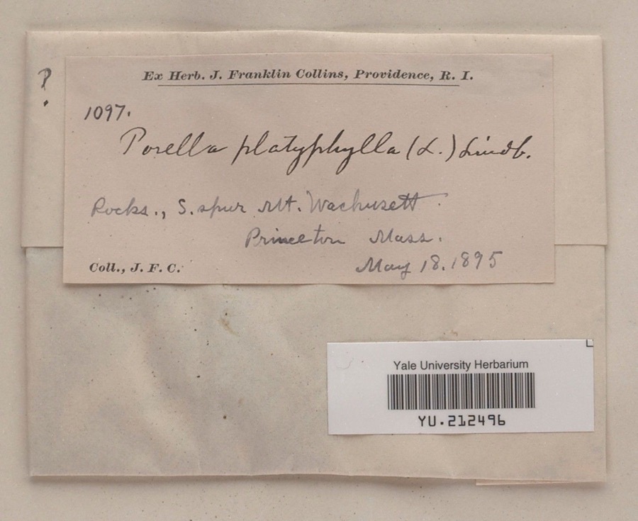
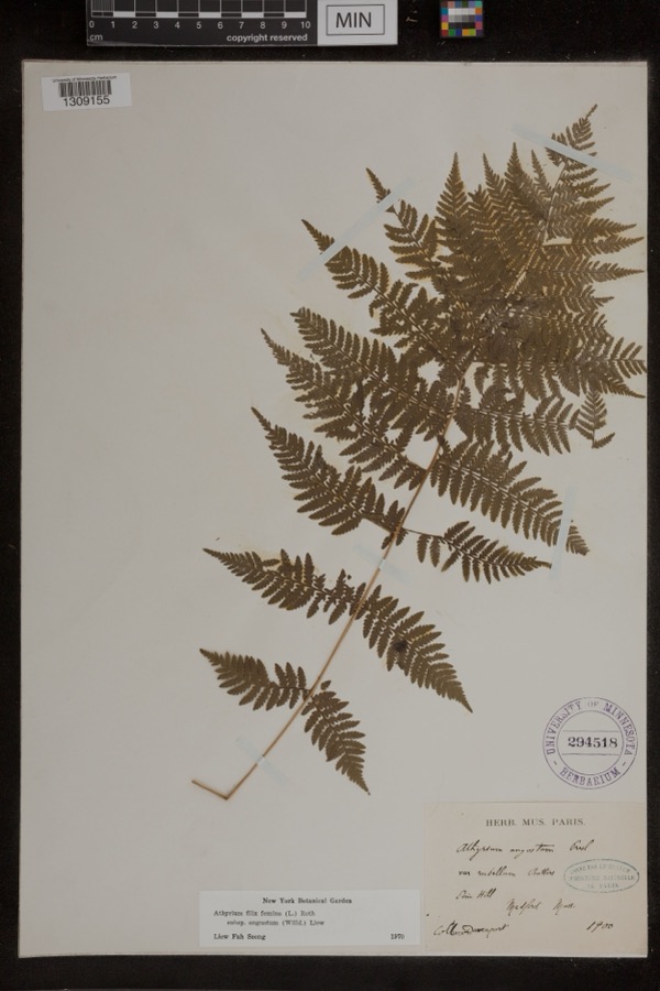
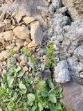
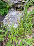
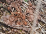
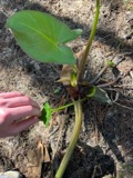
evidence. Museums hold 567 specimens
collected within 10 miles of Elm Street Fire Station between 1870 and 1973: 310 Plantae, 162 Animalia, 90 Fungi, 3 Protozoa, 1 Unrecorded, 1 Chromista.
12 distinct Species records are shown.
Collected by A., A. B. Seymour, A. F. Newton and others. Each is a
physical object with a catalogue
number, and each entry opens the museum's record. This is what was
collected and kept, not a survey of what lives here - nothing can be
concluded from a species being absent.
Regional context, not property-specific
evidence. The federal mineral resources record lists
7 workings within 5 miles of Elm Street Fire Station: 5 past producers, 2 producers.
2 still produce. What was taken out: Sand and Gravel, Construction. Distance is straight-line from the
map coordinates, so a quarry counted here may appear on a neighbouring
settlement's page as well.
Regional context, not property-specific
evidence. The National Weather Service names
Gardner, the town this property stands in, in 26 storm reports between 1995 and 2020: 14 hail, 6 thunderstorm wind, 2 lightning, 2 flood.
The reports record 2 injuries. Each account below is quoted exactly as the forecast office
filed it, from the NOAA Storm Events Database, and each date
opens the federal record of that event.
A tree and several large tree limbs on Edgell STreet in Gardner were downed by thunderstorm winds. Trees in Ashuburnham also were downed with one blocking a road.
In Gardner, there were many areas of flooding. There was one foot of water on a section of Route 2A at 618 PM EST. A car was stuck in flooding on Timpany Blvd. at 643 PM EST. Chestnut Street at Union Square was flooded and impassable at 648 PM EST. A basement was flooded on Dean Street at 658 PM EST.
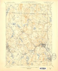
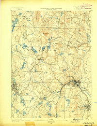
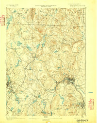
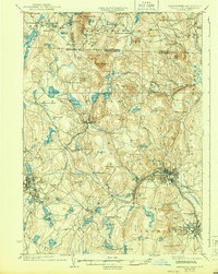
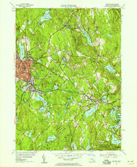
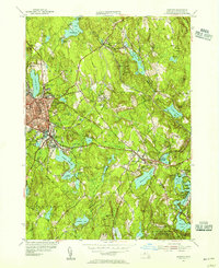
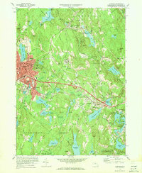
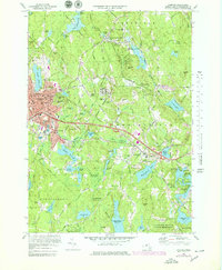
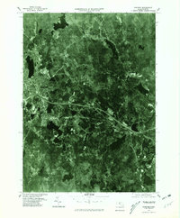
United States Geological Survey topographic
sheets whose coverage includes this point. Matched by taking the coordinate the National Park Service records for this property, then
testing that coordinate against the published boundary of every sheet.
Other National Register properties close
enough to walk or drive between, ordered by distance from this one. Both
positions come from the same geocoding pass that matched these properties
to their map sheets.
Listing record. National Park Service National Register of Historic Places, listed-properties dataset, current to 2026-05-22.
Map join. Address geocoded through the United States Census geocoder, then tested against the published boundary of every sheet in the USGS Historical Topographic Map Collection.
How this page is made. Listing fields come from federal records; map-sheet coverage is a labelled coordinate-to-boundary calculation, not a source-field claim.
Wildfire. Short, Karen C. 2022. Spatial wildfire occurrence data for the United States, 1992-2020 [FPA_FOD_20221014]. 6th Edition. Fort Collins, CO: Forest Service Research Data Archive. https://doi.org/10.2737/RDS-2013-0009.6 Collected with United States Government funding and usable without additional permissions or fees.
Specimens. Global Biodiversity Information Facility (GBIF), https://www.gbif.org/. Only records licensed CC0 or CC BY are used. Records licensed CC BY-NC are excluded because this site carries advertising. Images are checked individually and any whose licence is non-commercial, no-derivatives or unreadable is refused.
Mines and quarries. USGS Mineral Resources Data System (MRDS) https://mrdata.usgs.gov/mrds/ A work of the United States government, no copyright under 17 U.S.C. 105.
Storms. NOAA National Centers for Environmental Information, Storm Events Database https://www.ncei.noaa.gov/stormevents/ A work of the United States government, no copyright under 17 U.S.C. 105. Narratives are quoted verbatim from the National Weather Service report and are not edited or summarised.
 Block