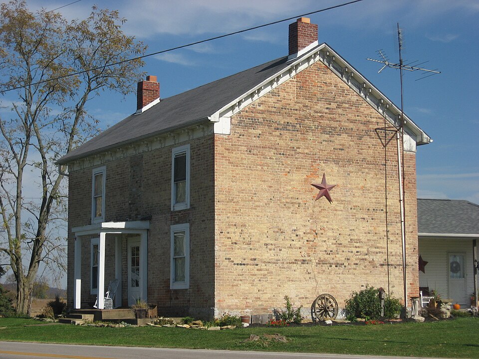
Listed on the National Register of Historic Places in
1979. A historic map-sheet match is not published yet. The record needs a coordinate-quality review before it can be joined to a sheet boundary.
From the record
one of 12 National Register listings in Adams County · listed in 1979 · category: Building.
National Register reference number.79001778- the number the National Park Service assigned this property when it was listed, and the key its nomination file is catalogued under at the National Archives.
Regional context, not property-specific
evidence. The
federal wildfire occurrence database
lists 31 fires within 5 miles of Wickerham Inn between
2003 and 2020, burning about 144 acres in total. 1 started naturally. 1 was recorded as arson.
Distance is straight-line from the map coordinates, so a fire counted
here may appear on a neighbouring settlement's page as well.
Reported cause
Fires
Debris and open burning
14
Missing data/not specified/undetermined
12
Equipment and vehicle use
3
Arson/incendiarism
1
Natural
1
The most recent of
them, most recent first, with the day each was reported and the service
that recorded it.
Regional context, not property-specific
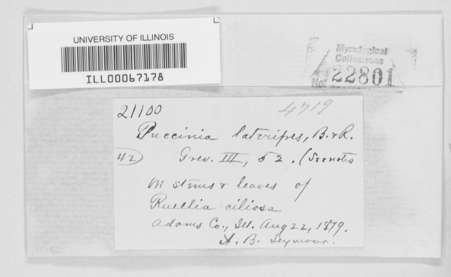
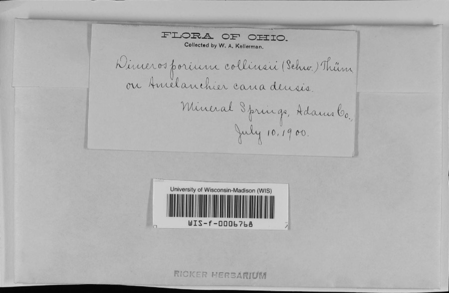
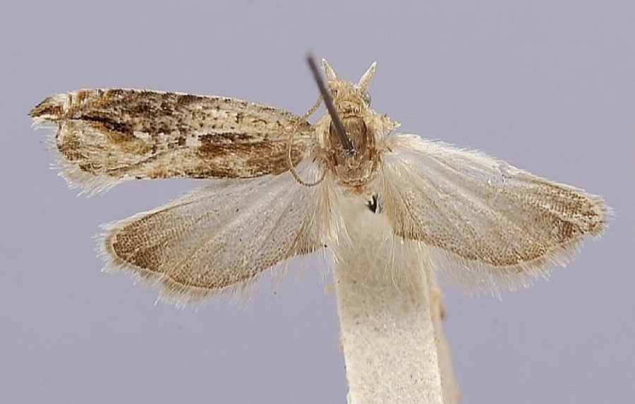
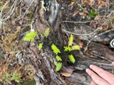
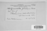
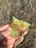
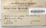
evidence. Museums hold 1,041 specimens
collected within 10 miles of Wickerham Inn between 1866 and
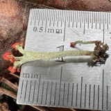
1975: 534 Fungi, 295 Plantae, 178 Animalia, 34 Protozoa. 12 distinct Species records are shown.
Collected by A. B. Seymour, A. Braun, A. J. Sharp and others. Each is a
physical object with a catalogue
number, and each entry opens the museum's record. This is what was
collected and kept, not a survey of what lives here - nothing can be
concluded from a species being absent.
Regional context, not property-specific
evidence. The federal mineral resources record lists
3 workings within 5 miles of Wickerham Inn: 2 past producers, 1 producer.
1 still produces. What was taken out: Stone, Crushed/Broken, Limestone, General. Distance is straight-line from the
map coordinates, so a quarry counted here may appear on a neighbouring
settlement's page as well.
Regional context, not property-specific
evidence. The National Weather Service names
Peebles, the town this property stands in, in 36 storm reports between 1995 and 2025: 22 thunderstorm wind, 9 hail, 2 tornado, 2 flood.
No death or injury is recorded in these reports. Each account below is quoted exactly as the forecast office
filed it, from the NOAA Storm Events Database, and each date
opens the federal record of that event.
A tornado touched down near the intersection of State Routes 32 and 41 just south of the town of Peebles. A steel structure barn collapsed in this location. Additional damage was noted about a mile further east near the intersection of State Route 32 and Steam Furnace Road, where an entire roof was peeled off of a home. The home sustained severe water damage from heavy rain and hail, and had a large front porch and balcony torn off. In addition, one of the chimneys collapsed when the roof was peeled off. Several trees were snapped off towards the top along the path of the tornado. This tornado was rated EF-1 with top wind speeds near 90 mph.
No historic map-sheet match is published
for this property yet. That does not mean no map exists. This record needs
a coordinate-quality review before it can be joined to a sheet boundary.
Browse the county's mapped places while that work is
pending.
From the nomination file
1,437 words on record
When this property was proposed for the
National Register, someone wrote the case for it: what the building is,
and why it matters. That document is a federal record in the public domain.
It is quoted below word for word, never summarised. The text was read off the scanned case file by machine, so the
occasional stray character is the recogniser's and the 1970s
typewriter's.
Description of the property
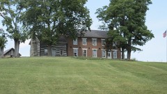
The Wickerham Inn is a brick structure, rectangular with windows are rectangular, the center wináow is rounded with leaded panes. parts of it have been replaced, no doubt,at various periods.. The windows CONDITION EXCELLENT UNALTERED CHECK ONE FAIR The Flemish bond Wickerham Inn has a bracketed cornice XGOOD _UNEXPOSED floor and metal roof. The frame addition itself sets on an ashlar foundation, _DETERIORATED shaped open frame porch on the south side of this addition with a concrete Influence with chimneys on either end .A frame addition was placed on The frame addition to the rear of the brick section isa of the inn are 2/2,1/l and 3/i on various sides of the structure.The the rear of the inn c. 1890; the brick section is two stories.
of cut stone and there is an open one bay porch with ballustrade in the door. The front door has picture frame molding with two glass panes. The gable roof is now covered with asphalt shingles.The foundation is one story with three bays on the side and one in the rear.It comprises windows on the front of the structure have voussoirs as well as the front with a center dormer.The dormer has a frame facade with a rounded sun- three bays on the front and two bays on the side.It is of Federal _RUINS AREAS OF
Statement of significance
The Wickerham Inn is significant because it is one of the a Revolutionary War veteran, moved from Washington County, Pennsy1- buried the headless skeleton, presumably that of the long-missing LAW ECONOMICS ART ARCHEOLOGY-HISTORIC ENGINEERING AGRICULTURE PERIOD BUILDER/ARCHITECT PREHISTORIC TRANSPORTATION SIGNIFICANCE THEATER MILITARY INVENTION LITERATURE INDUSTRY Peter Wickerham stagecoach driver. _COMMUNICATIONS _EXPLORATION/SETTLEMENT _POLITICS/GOVERNMENT _1700-1799 The strangest occurrence in this home was in 1804 different farms. construction of his brick home which was completed the following Underground Railroad during the Civil War years. X_1800-1899 and much of that original plaster still remains.
John Hunt Morgan slept here when Morgan's Raiders passed through his upstairs room.During the night noises that sounded like a fight -1600-1699 digging up the cellar floor, when they found a crypt in which was revealed the furniture in disarray, bloo stains on the floor and walls -EDUCATION The house was used as a family home and public inn until _CONSERVATION portion of Zanes Trace in 1797-98.In 1800,Wickerham began _COMMERCE -1400-1499 behind the old inn.his event covered 2,500 acres and took in 17 the current owner is a Wickerham descendant.The property has been altered through In September,1957,the home was used as a communications The Inn has remained in the Wickerham family since its construction and vania to northern Kentucky to Adams County,Ohio,and settled ona was used as a township voting house on November 3,l804,when Thomas -RELIGION of July 15,l863,Confederate soldiers under the command of General -1900- -COMMUNITY PLANNING SCIENCE ARCHEOLOGY-PREHISTORIC new stagecoach driver was laying over for the night and retired to The next morning an investigation World's Plowing Match and Conservation Exposition which was held just the driver had been decapitated and his head thrown in a nearby pond.
Quoted from the National Register nomination
for reference 79001778, 10 pages, held by the National Archives in Record
Group 79. See the
catalogue record.
Listed places nearby
1 within 8 miles
Other National Register properties close
enough to walk or drive between, ordered by distance from this one. Both
positions come from the same geocoding pass that matched these properties
to their map sheets.
Listing record. National Park Service National Register of Historic Places, listed-properties dataset, current to 2026-05-22.
Map join. Address geocoded through the United States Census geocoder, then tested against the published boundary of every sheet in the USGS Historical Topographic Map Collection.
How this page is made. Listing fields come from federal records; map-sheet coverage is a labelled coordinate-to-boundary calculation, not a source-field claim.
Wildfire. Short, Karen C. 2022. Spatial wildfire occurrence data for the United States, 1992-2020 [FPA_FOD_20221014]. 6th Edition. Fort Collins, CO: Forest Service Research Data Archive. https://doi.org/10.2737/RDS-2013-0009.6 Collected with United States Government funding and usable without additional permissions or fees.
Specimens. Global Biodiversity Information Facility (GBIF), https://www.gbif.org/. Only records licensed CC0 or CC BY are used. Records licensed CC BY-NC are excluded because this site carries advertising. Images are checked individually and any whose licence is non-commercial, no-derivatives or unreadable is refused.
Mines and quarries. USGS Mineral Resources Data System (MRDS) https://mrdata.usgs.gov/mrds/ A work of the United States government, no copyright under 17 U.S.C. 105.
Storms. NOAA National Centers for Environmental Information, Storm Events Database https://www.ncei.noaa.gov/stormevents/ A work of the United States government, no copyright under 17 U.S.C. 105. Narratives are quoted verbatim from the National Weather Service report and are not edited or summarised.
 Block
Block