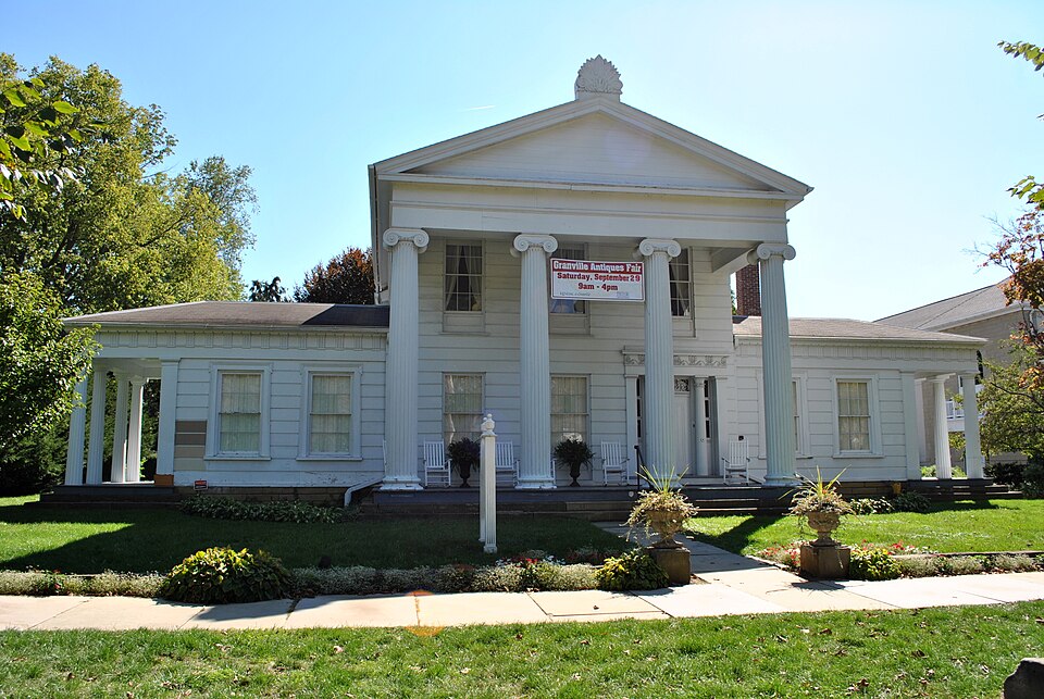
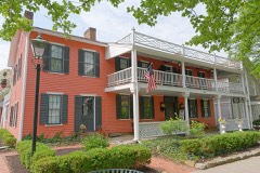
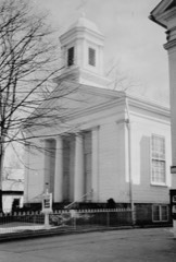
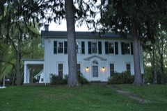
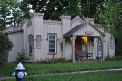
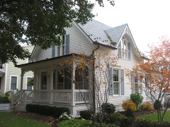
Built in 1842 in the Greek Revival architecture. Listed on the National Register of Historic Places in
1979. A historic map-sheet match is not published yet. The record needs a coordinate-quality review before it can be joined to a sheet boundary.
From the record
“Avery-Hunter House is a registered historic house located at 221 East Broadway in Granville, Ohio. It was listed on the National Register on December 27, 1979.”
Wikipedia article Avery-Hunter House, CC BY-SA 4.0.
one of 52 National Register listings in Licking County · listed in 1979 · category: Building · built in 1842, Greek Revival architecture.
National Register reference number.79001877- the number the National Park Service assigned this property when it was listed, and the key its nomination file is catalogued under at the National Archives.
The township was organized in 1807, out of the west half of Licking township, Fairfield county. The latter township then embraced all of what is now Licking county, except the Refugee lands. This being cut in two in the center, the west half was named Granville, and was, therefore, the second township organized in this territory.
The works of the Mound Builders in this township are very numerous and interesting; indeed, in number and varied character are scarcely excelled by those of Newark township. The Raccoon valley and contiguous territory constitute, probably, the most interesting territory in the State, or even in the United States for the antiquarian. Mounds of different sizes and heights, earthworks of every kind known to the historian exist here in great numbers. Numbers yet to be seen and traced may almost be counted by the hundred, while many, very many, have disappeared entirely, by the ravages of time and the plow, and live only in the memory of the oldest inhabitants. No particular care seems to be taken to preserve these mounds and works. Wherever they are in the way of the tiller of the soil, they are ruthlessly plowed down or dug away. They are disappearing with comparative rapidity, and very soon, with few exceptions, will live only in history. Occcasionally they are erected upon high peaks, or places inaccessible to the plow and cultivator, and in such places are, of course, in the best state of preservation. The traveler between Newark and Granville will observe many of these mounds, a few yet pretty well preserved, even on the extensive and rich bottoms of the Raccoon; but the better preserved works, and those probably the most interesting, are located upon the hills that shut in the valley. Captain M. M. Munson, who occupies a beautiful farm in the midst of these mounds, and who has made them something of a study, is confident that around the great Aligator mound, located not far from his house, is a complete system of mounds and earthworks that point to it as a common center. However this may be, there is certainly a large circle of works in this vicinity, extending several miles in every direction, and seemingly connected with each other and with the "Old Fort" near Newark and its contiguous works.
Regional context, not property-specific
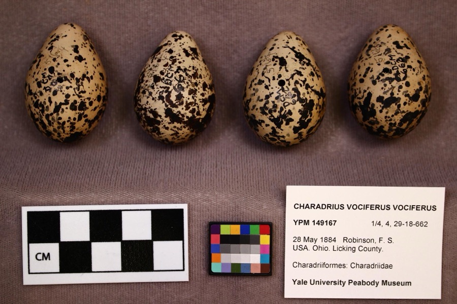
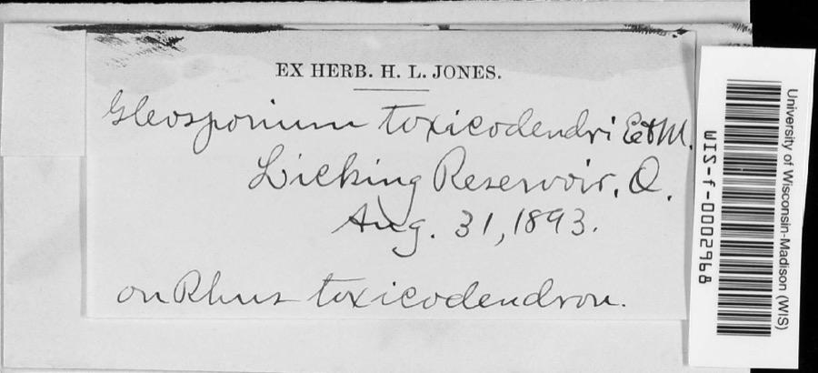
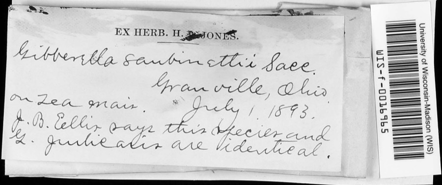
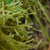
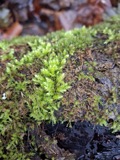
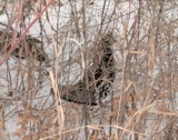
evidence. Museums hold 3,055 specimens
collected within 10 miles of Avery-Hunter House between 1843 and
1975: 2,726 Animalia, 251 Fungi, 49 Plantae, 26 Protozoa, 3 Chromista. 12 distinct Species records are shown.
Collected by A. Gray; W. S. Sullivant, A. P. M., A. P. Morgan and others. Each is a
physical object with a catalogue
number, and each entry opens the museum's record. This is what was
collected and kept, not a survey of what lives here - nothing can be
concluded from a species being absent.
Regional context, not property-specific
evidence. The federal mineral resources record lists
1 working within 5 miles of Avery-Hunter House: 1 producer.
All of them still produce. What was taken out: Sand and Gravel, Construction. Distance is straight-line from the
map coordinates, so a quarry counted here may appear on a neighbouring
settlement's page as well.
Regional context, not property-specific
evidence. The National Weather Service names
Granville, the town this property stands in, in 32 storm reports between 1995 and 2026: 26 thunderstorm wind, 3 hail, 2 flash flood, 1 heavy rain.
No death or injury is recorded in these reports. Each account below is quoted exactly as the forecast office
filed it, from the NOAA Storm Events Database, and each date
opens the federal record of that event.
Heavy rainfall caused flash flooding in the area. There were numerous reports of water flowing over roads in Union Township, Hebron, and the Buckeye Lake area. One woman was trapped in a car due to high water.
No historic map-sheet match is published
for this property yet. That does not mean no map exists. This record needs
a coordinate-quality review before it can be joined to a sheet boundary.
Browse the county's mapped places while that work is
pending.
From the nomination file
1,477 words on record
When this property was proposed for the
National Register, someone wrote the case for it: what the building is,
and why it matters. That document is a federal record in the public domain.
It is quoted below word for word, never summarised. The text was read off the scanned case file by machine, so the
occasional stray character is the recogniser's and the 1970s
typewriter's.
Description of the property
in Ohio. The foundation is built of rusticated ashlar blocks. The three bay central block faces north. The full height of the pedimented portico has four fluted Ionic columns each of which rests on a base. The capitals are delicately carved and panel which again uses the anthemion design. Side lights have rectangular lights wood panel. Square pillars at the outer edges of the entryway terminate with an enriched talon molding. The entablature is decorated by a carved band are not part of the 1873 addition but have evolved during the period Robbins Hunter occupied the house. The windows featured in this section include 6/6 with wood - good The steps and floor of the portico are stone slabs. The second floor of the an anthemion design. The frieze, cornice and pediment are undecorated.
There right bay is an outstanding entryway. A louvered door is flanked by fluted plain architrave, the frieze is decorated with triglyph and metope. The cornice is impact on the simplicity of the original design but pose no permanent alteration date with two windows and The remaining property is strewn with architectural elements which have a visual open octagonal belfry topped by an eagle in flight.The elements described above of anthemion placed over a bead and reel molding.Tothe left of the entry are Areas of Significance-Check and justify below - prehistoric - archeology-historic - science _ agriculture _ literature - sculpture x architecture - military _ social/ .
engineering _ music X 1800-1899 _ commerce - philosophy - theater - politics/government - transportation other (specify) Statement of
Statement of significance
(in one paragraph) columns and the cast iron railing.The simplicity and sophistication of the as a private residence until 1901.It then became a fraternity house 1500-1599 1600-1699 1400-1499 1700-1799 communications preservation/ conservation economics humanitarian industry art Period education 1900- exploration/settlement 1842--1873 Specific dates law designed Granville's St.Lukes's Church and was one of the supervising invention Avery-Hunter House remains intact. Asher Benjamin and Minard Lafever.This influence is evident in the tetra- 8. Significance The future of this important Granville landmark rests with the Hunter and was so used until 1956 when Robbins Hunter Jr.purchased it. - archeology-prehistoric _ community planning _ landscape architecture.
_ religion Ben jamin Morgan built by Benjamin Morgan, an important Granville craftsman, Morgan also estate. It is hoped that the National Register listing will encourage its Builder/Architect 9.
Quoted from the National Register nomination
for reference 79001877, 14 pages, held by the National Archives in Record
Group 79. See the
catalogue record.
Listed places nearby
6 within 8 miles
Other National Register properties close
enough to walk or drive between, ordered by distance from this one. Both
positions come from the same geocoding pass that matched these properties
to their map sheets.
Listing record. National Park Service National Register of Historic Places, listed-properties dataset, current to 2026-05-22.
Map join. Address geocoded through the United States Census geocoder, then tested against the published boundary of every sheet in the USGS Historical Topographic Map Collection.
How this page is made. Listing fields come from federal records; map-sheet coverage is a labelled coordinate-to-boundary calculation, not a source-field claim.
Specimens. Global Biodiversity Information Facility (GBIF), https://www.gbif.org/. Only records licensed CC0 or CC BY are used. Records licensed CC BY-NC are excluded because this site carries advertising. Images are checked individually and any whose licence is non-commercial, no-derivatives or unreadable is refused.
Mines and quarries. USGS Mineral Resources Data System (MRDS) https://mrdata.usgs.gov/mrds/ A work of the United States government, no copyright under 17 U.S.C. 105.
Storms. NOAA National Centers for Environmental Information, Storm Events Database https://www.ncei.noaa.gov/stormevents/ A work of the United States government, no copyright under 17 U.S.C. 105. Narratives are quoted verbatim from the National Weather Service report and are not edited or summarised.
 Block
Block