 Block
BlockFrom the record
one of 15 National Register listings in Morrow County · listed in 1979 · category: Building.
Sources: the case file at the National Archives · the National Register database, National Park Service
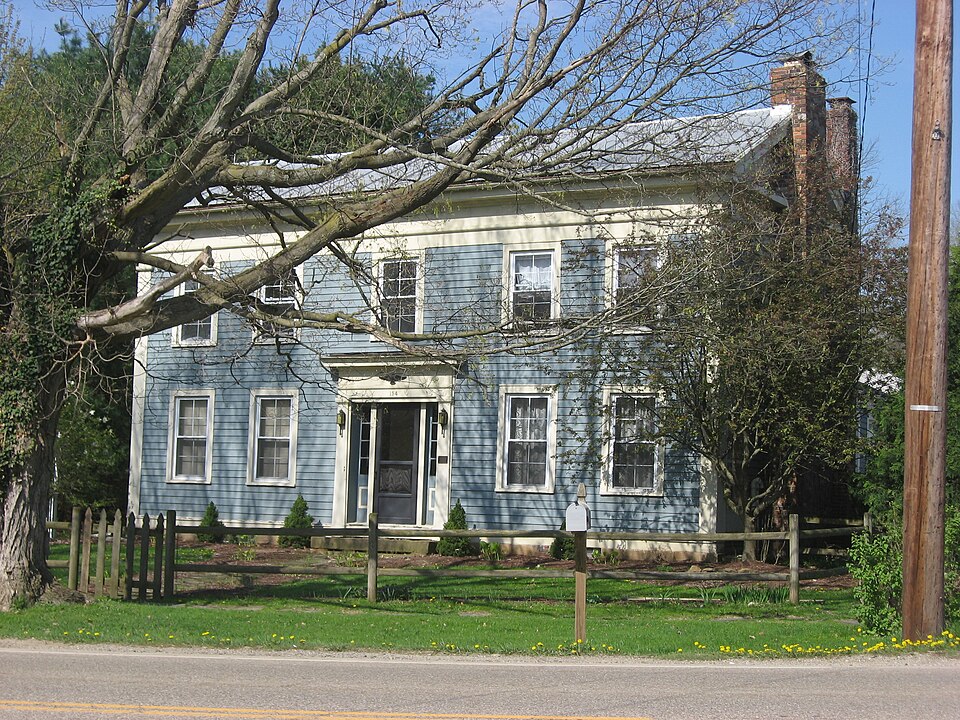
Listed on the National Register of Historic Places in 1979. A historic map-sheet match is not published yet. The record needs a coordinate-quality review before it can be joined to a sheet boundary.
one of 15 National Register listings in Morrow County · listed in 1979 · category: Building.
Sources: the case file at the National Archives · the National Register database, National Park Service
Regional context, not property-specific evidence. Museums hold 377 specimens collected within 10 miles of Miles, Enos, House between 1835 and 1975: 352 Animalia, 18 Fungi, 6 Plantae, 1 Unrecorded. 12 distinct Species records are shown. Collected by A. P. Morgan, Adler, K. K., Bird, C. and others. Each is a physical object with a catalogue number, and each entry opens the museum's record. This is what was collected and kept, not a survey of what lives here - nothing can be concluded from a species being absent.
| Image | Species | Year | Collected by | Where, as recorded |
|---|---|---|---|---|
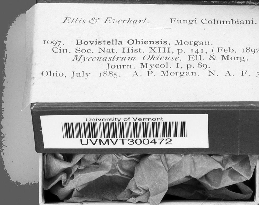 | Bovistella Morgan | 1885 | A. P. Morgan | |
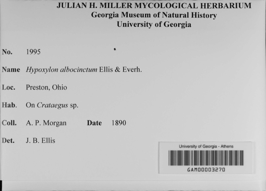 | Hypoxylon albocinctum Ellis & Everh. | 1890 | A. P. Morgan | Preston |
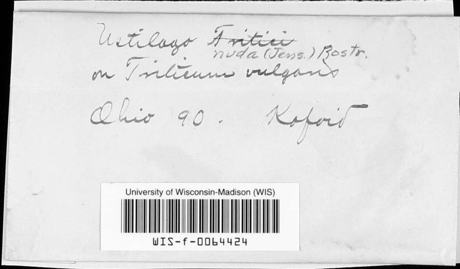 | Ustilago nuda (C.N.Jensen) Kellerm. & Swingle | 1890 | Kofoid | |
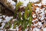 | Polystichum acrostichoides (Michx.) Schott | 1835 | Joseph C. Frank | Ohio, s.loc. |
 | Usnea florida (L.) F.H.Wigg. | 1837 | not recorded | |
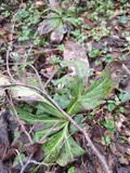 | Ascochyta Lib., 1830 | 1883 | Kellerman | |
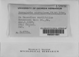 | Nummularia microplaca (Berk. & M.A.Curtis) Cooke | 1883 | W.A. Kellerman | |
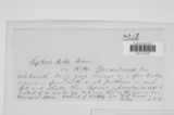 | Septoria ribis (Lib.) Desm. | 1883 | W. A. Kellermann | |
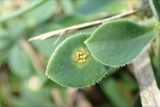 | Uromyces (Link) Unger, 1833 | 1883 | Kellerman | |
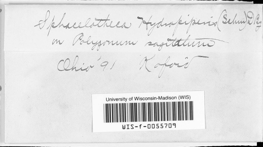 | Sphacelotheca hydropiperis (Schumach.) de Bary | 1891 | Kofoid | |
 | Empidonax traillii (Audubon, 1828) | 1893 | Roberts | unspecified |
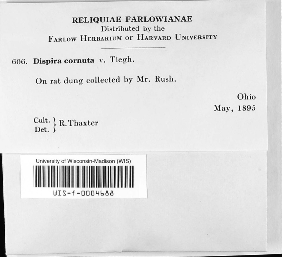 | Dispira cornuta Tiegh. | 1895 | R. Thaxter |
All 377 specimens within 10 miles, at the Global Biodiversity Information Facility.
Regional context, not property-specific evidence. The federal mineral resources record lists 2 workings within 5 miles of Miles, Enos, House: 2 producers. All of them still produce. What was taken out: Sand and Gravel, Construction. Distance is straight-line from the map coordinates, so a quarry counted here may appear on a neighbouring settlement's page as well.
| Where | Site | Commodity | Status | Recorded |
|---|---|---|---|---|
| Chesterville Pit | Sand and Gravel, Construction | Producer | Sedimentary | |
| Chesterville Pit | Sand and Gravel, Construction | Producer |
Regional context, not property-specific evidence. The National Weather Service names Chesterville, the town this property stands in, in 14 storm reports between 1993 and 2024: 7 hail, 4 thunderstorm wind, 2 flood, 1 tornado. No death or injury is recorded in these reports. Each account below is quoted exactly as the forecast office filed it, from the NOAA Storm Events Database, and each date opens the federal record of that event.
| When | Event | Place named | Harm | What the report says |
|---|---|---|---|---|
| July 2013 | Flood | Chesterville | $45,000 | In Morrow County, The Whetstone Creek flooded its banks in Mt. Gilead. The Lee Street apartments in Mt. Gilead were flooded. Seventy-five people in 20 units were affected by the flood waters. Flooding problems were reported along State Routes 95 and 314 in Morrow County, high water on another part of State Route 95 at the Knox-Morrow County line and the Richland-Morrow County line. A farm north of Mt. Gilead had over a dozen horses forced to swim to dry land as the property was inundated. |
| June 2013 | Thunderstorm Wind | Chesterville | $30,000 | Thunderstorm winds caused a portion of a barn to collapse. Five cows inside of the barn were killed. |
| May 1997 | Thunderstorm Wind | Chesterville | $20,000 | no account filed |
| June 2006 | Hail | Chesterville | $10,000 | Quarter size hail was observed. |
| June 2008 | Thunderstorm Wind | Chesterville | $8,000 | Large trees and power lines were reported down in Chesterville and Marengo. |
| August 1993 | Thunderstorm Wind | Chesterville | $5,000 | no account filed |
| March 2024 | Hail | Chesterville | - | Hail up to quarter-size in Chesterville. |
| August 2022 | Hail | Chesterville | - | Hail up to half dollar-size in Chesterville. |
| June 2022 | Tornado (EF1) | Chesterville | - | The tornado began in Chesterville. As the tornado moved southeastward, it crossed Township Road 180 before progressing into Knox County. Numerous trees were uprooted or snapped along the tornado's path. A couple of these trees landed on buildings in Chesterville. The storm survey did not note any specific damage to the buildings. Estimated peak tornadic winds were 105 mph. |
| May 2020 | Flood | Chesterville | - | Heavy rainfall of 1 to 3 inches over Morrow County on the evening of the 18th resulted in widespread flooding of local and state roads. Those roads include the following; SR 314 and SR 95, SR 314 and SR 229, Road 21, west of SR 314, Road 170 and SR 229, Road 20, east of 21, SR 61 and Road 25. |
| May 2014 | Hail | Chesterville | - | Quarter sized hail was observed. |
| April 2013 | Hail | Chesterville | - | The public reported quarter size hail near Chesterville. |
| June 2001 | Hail | Chesterville | - | Dime size hail was reported. |
| June 1998 | Hail | Chesterville | - | no account filed |
No historic map-sheet match is published for this property yet. That does not mean no map exists. This record needs a coordinate-quality review before it can be joined to a sheet boundary. Browse the county's mapped places while that work is pending.
When this property was proposed for the National Register, someone wrote the case for it: what the building is, and why it matters. That document is a federal record in the public domain. It is reproduced in full on its own page, word for word and never summarised. The text was read off the scanned case file by machine, so the occasional stray character is the recogniser's and the 1970s typewriter's.
The whole case file for this property - 487 words, 4 pages, reproduced complete.
Quoted from the National Register nomination for reference 79002758, 4 pages, held by the National Archives in Record Group 79. See the catalogue record.
Other National Register properties close enough to walk or drive between, ordered by distance from this one. Both positions come from the same geocoding pass that matched these properties to their map sheets.
| Photograph | Property | Distance | Listed |
|---|---|---|---|
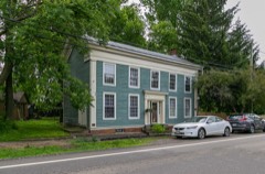 | Jarvis House | under 500 feet | 1979 |
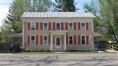 | U.S. Post Office | 0.1 miles | 1979 |
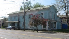 | Old Bartlett and Goble Store | 0.1 miles | 1979 |
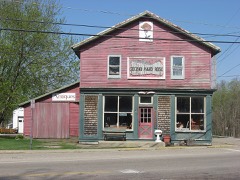 | Wood Commercial Building | 0.1 miles | 1979 |
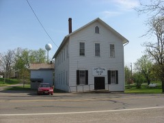 | Chester Town Hall | 0.2 miles | 1979 |
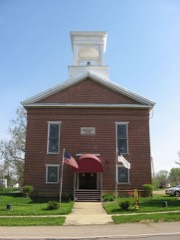 | Chesterville Methodist Church | 0.2 miles | 1979 |
| National Archives record | The nomination case file for reference 79002758 in Record Group 79. |
| Morrow County | All 15 listed properties in this county. |