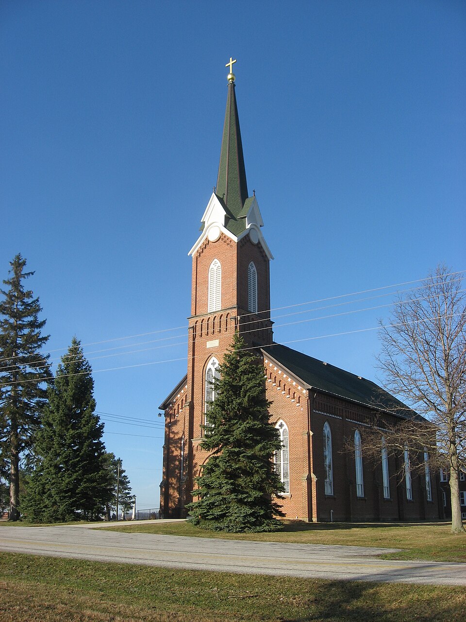
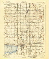
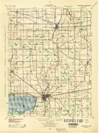
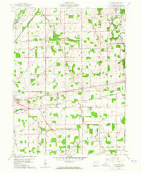
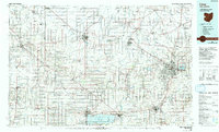
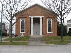
Listed on the National Register of Historic Places in 1979. 6 historic topographic surveys show this location, the earliest from 1911.
From the record
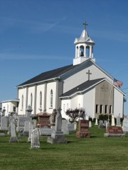
“Patrick's Church is a historic Roman Catholic church in Glynwood, an unincorporated community in Moulton Township, Auglaize County, Ohio, United States. Marys and Wapakoneta, the church was built in 1883 in the Gothic Revival style.”
Wikipedia article St. Patrick's Catholic Church (Glynwood, Ohio), CC BY-SA 4.0.
One of 25 National Register listings published here for Auglaize County · listed in 1979 · category: Building.
National Register reference number.79003454- the number the National Park Service assigned this property when it was listed, and the key its nomination file is catalogued under at the National Archives.
Regional context, not property-specific
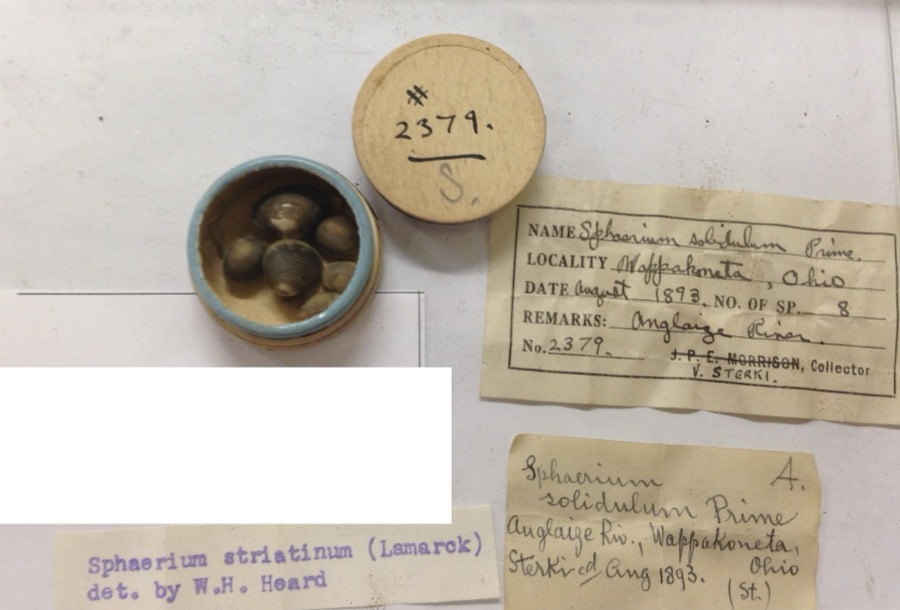
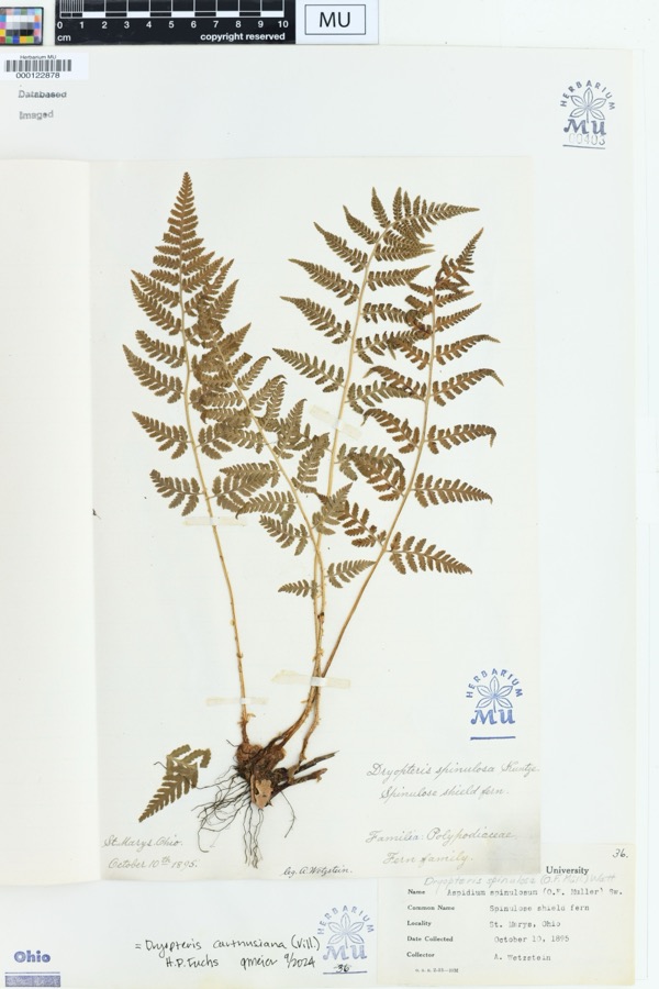
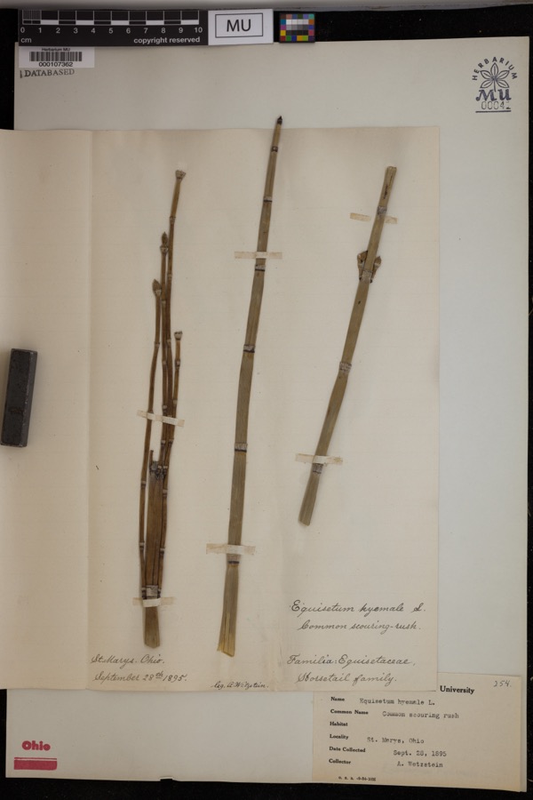
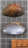
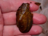
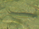
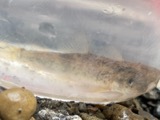
evidence. Museums hold 951 specimens
collected within 10 miles of Glynnwood Catholic Church between 1882 and 1975: 863 Animalia, 87 Plantae, 1 Bacteria.
12 distinct Species records are shown.
Collected by A. Wetzstein, Adler, K. K., Albert Wetzstein and others. Each is a
physical object with a catalogue
number, and each entry opens the museum's record. This is what was
collected and kept, not a survey of what lives here - nothing can be
concluded from a species being absent.
Regional context, not property-specific
evidence. The federal mineral resources record lists
3 workings within 5 miles of Glynnwood Catholic Church: 1 producer, 1 past producer, 1 plant.
2 still produce. What was taken out: Stone, Crushed/Broken, Limestone, General. Distance is straight-line from the
map coordinates, so a quarry counted here may appear on a neighbouring
settlement's page as well.
United States Geological Survey topographic
sheets whose coverage includes this point. Matched by taking the coordinate the National Park Service records for this property, then
testing that coordinate against the published boundary of every sheet.
When this property was proposed for the
National Register, someone wrote the case for it: what the building is,
and why it matters. That document is a federal record in the public domain.
It is reproduced in full on its own page, word for word and never summarised. The text was read off the scanned case file by machine, so the
occasional stray character is the recogniser's and the 1970s
typewriter's.
Quoted from the National Register nomination
for reference 79003454, 6 pages, held by the National Archives in Record
Group 79. See the
catalogue record.
Listed places nearby
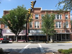
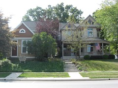
6 within 8 miles
Other National Register properties close
enough to walk or drive between, ordered by distance from this one. Both
positions come from the same geocoding pass that matched these properties
to their map sheets.
Listing record. National Park Service National Register of Historic Places, listed-properties dataset, current to 2026-05-22.
Map join. Address geocoded through the United States Census geocoder, then tested against the published boundary of every sheet in the USGS Historical Topographic Map Collection.
How this page is made. Listing fields come from federal records; map-sheet coverage is a labelled coordinate-to-boundary calculation, not a source-field claim.
Specimens. Global Biodiversity Information Facility (GBIF), https://www.gbif.org/. Only records licensed CC0 or CC BY are used. Records licensed CC BY-NC are excluded because this site carries advertising. Images are checked individually and any whose licence is non-commercial, no-derivatives or unreadable is refused.
Mines and quarries. USGS Mineral Resources Data System (MRDS) https://mrdata.usgs.gov/mrds/ A work of the United States government, no copyright under 17 U.S.C. 105.
 Block