Listed on the National Register of Historic Places in
1979. A historic map-sheet match is not published yet. The record needs a coordinate-quality review before it can be joined to a sheet boundary.
From the record
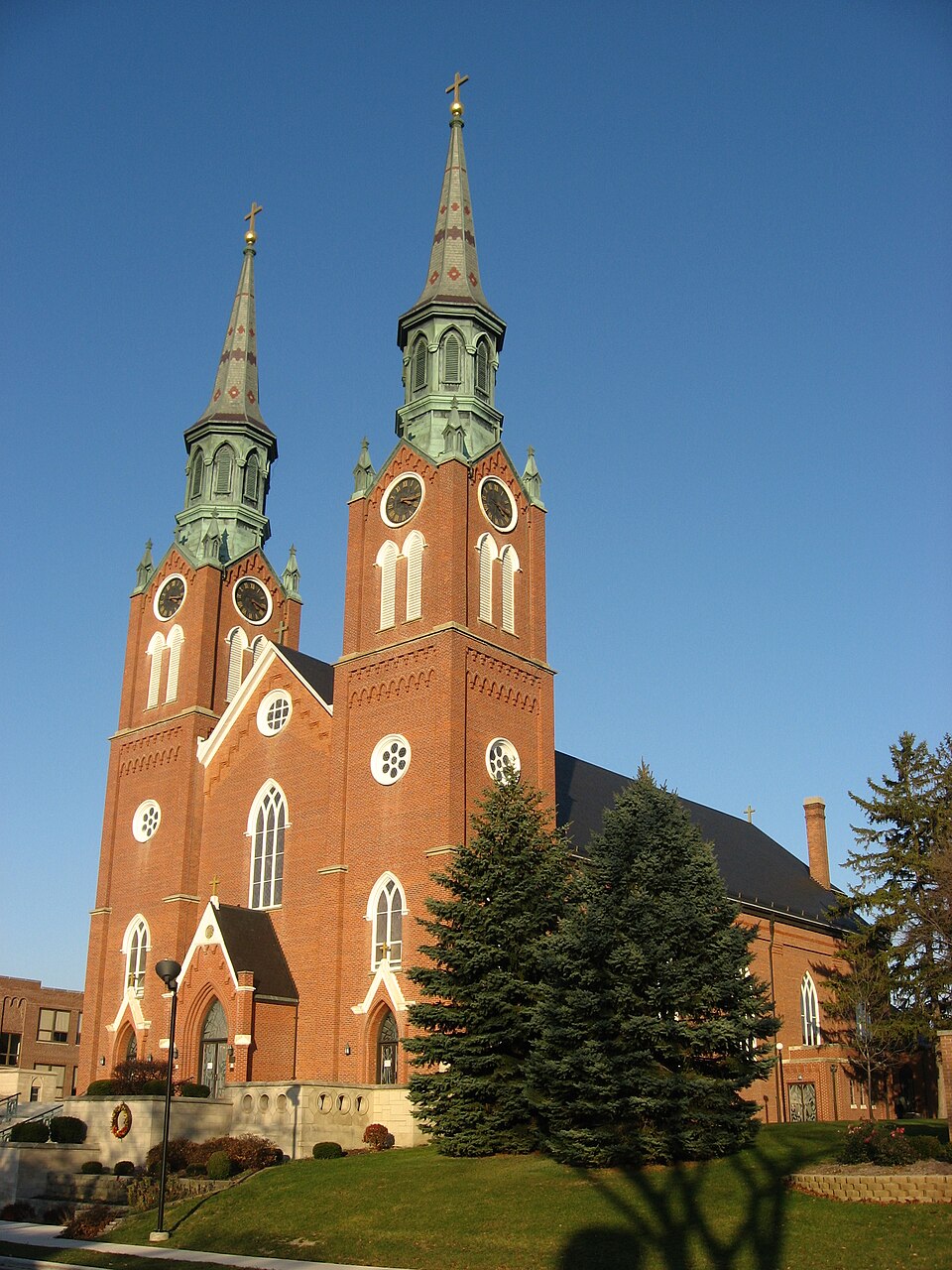
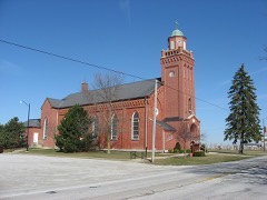
“Augustine's Catholic Church is a historic Gothic Revival-style Roman Catholic church building located on North Hanover Street in Minster, Ohio, United States. Located in the region of western Ohio known as the "Land of the Cross-Tipped Churches," the church was built in 1848.”
Wikipedia article St. Augustine's Catholic Church (Minster, Ohio), CC BY-SA 4.0.
one of 24 National Register listings in Auglaize County · listed in 1979 · category: Building.
National Register reference number.79003457- the number the National Park Service assigned this property when it was listed, and the key its nomination file is catalogued under at the National Archives.
The soil of the township is exceedingly fertile, from which bounteous crops spring with the regularity of the seasons. The Loramie Reservoir extends into the township in sections thirtyfive and thirty-six. The extension of the L. E. & W. R. R. in 1877 and the Western Ohio R. R. to Minster in 1903, created new life and activity in the township. The development, in the last few years of what is known as the Minster oil field has also been a source of benefit.
The town was founded by Germans, and still preserves its nationality. It assumed considerable business importance after the construction of the Miami and Erie canal. The race connecting the northern extremity of the Loramie Reservoir with the canal in Minster was dug in the years 1847-8-9. Francis Sprehe built a frame grist mill near where the race crosses Frankfort street, which did a profitable business for many years. Thus the community flourished until 1849, when the cholera appeared, making such ravages that four hundred settlers of the town and township died of the dread disease. The people died so rapidly that immediate burial could not be given them. Theodore Dickman, then a lad of fourteen years, remembers counting twenty-six coffins sitting around in the hazel bushes in the cemetery south of the town, awaiting interment. Joseph Bussing from three miles west of Minster and a number of assistants, came once a week and buried the accumulation of caskets. They buried them in deep trenches four tiers deep. The epidemic continued three years, but was not so malignant the last two years. A remarkable feature of the epidemic was that its prevalence was confined to the village and township east of the canal. No case was reported west of that waterway. All forms of business were crippled by the great calamity. Several years elapsed before the town resumed anything of its former enterprise and social conditions. There was a slow but steady growth in the volume of business and public improvements of the town until 1877, when the Lake Erie and Western R. R. was extended from St. Mary's to Minster. roads.
Regional context, not property-specific
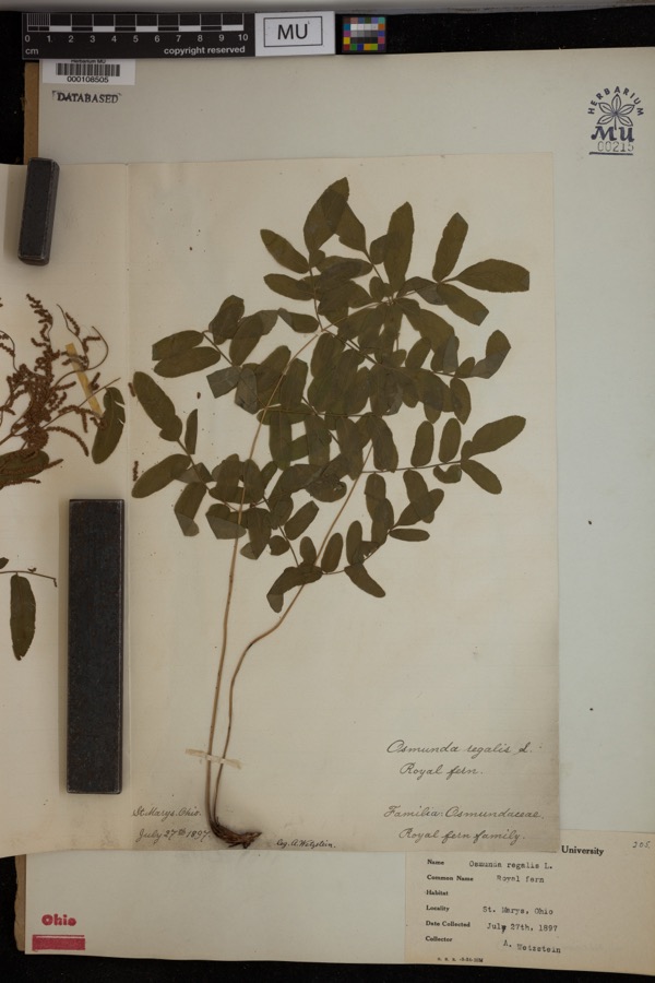
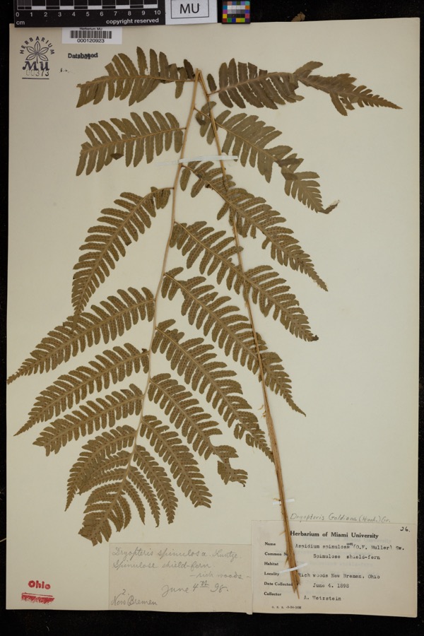
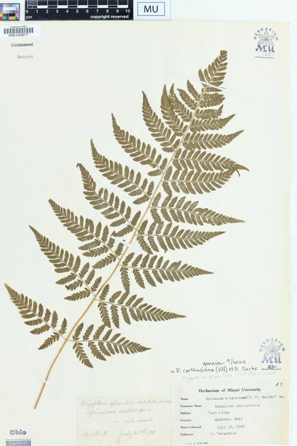
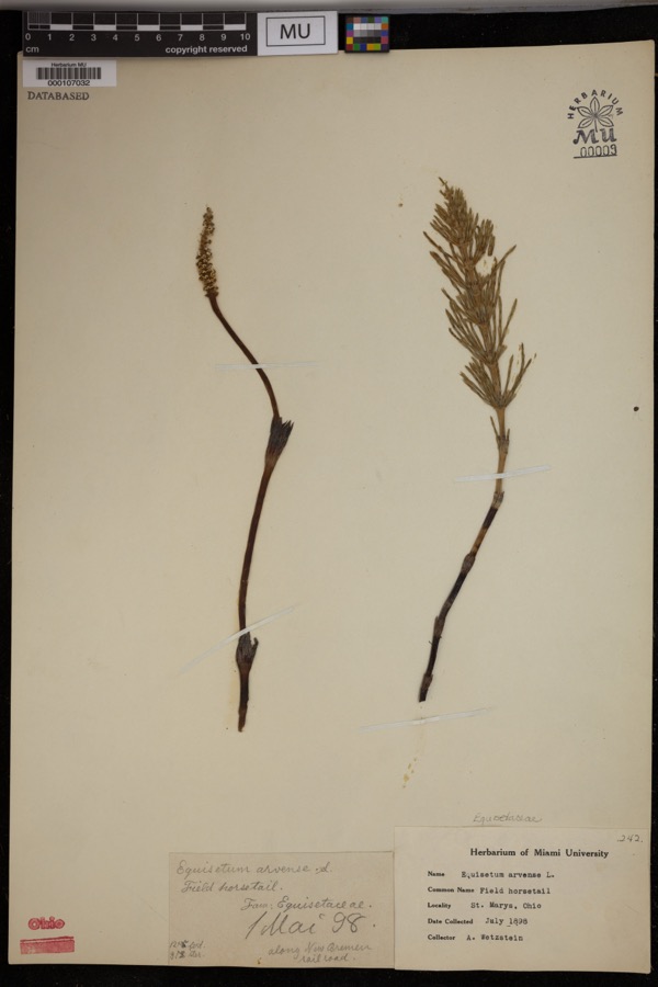
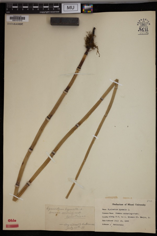
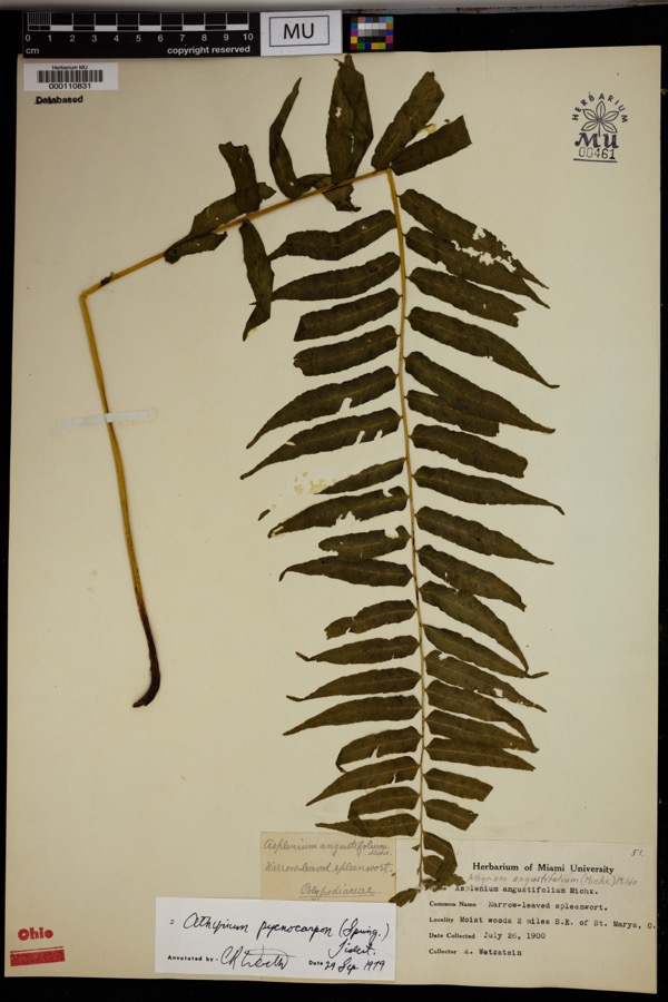
evidence. Museums hold 348 specimens
collected within 10 miles of St. Augustine Catholic Church between 1800 and
1974: 313 Animalia, 34 Plantae, 1 Bacteria. 12 distinct Species records are shown.
Collected by Albert Wetzstein, Ballenstedt, B., Baßmann and others. Each is a
physical object with a catalogue
number, and each entry opens the museum's record. This is what was
collected and kept, not a survey of what lives here - nothing can be
concluded from a species being absent.
Regional context, not property-specific
evidence. The federal mineral resources record lists
3 workings within 5 miles of St. Augustine Catholic Church: 3 past producers.
None of them still produces. What was taken out: Sand and Gravel, Construction. Distance is straight-line from the
map coordinates, so a quarry counted here may appear on a neighbouring
settlement's page as well.
Regional context, not property-specific
evidence. The National Weather Service names
Minster, the town this property stands in, in 10 storm reports between 2002 and 2023: 6 thunderstorm wind, 3 hail, 1 tornado.
No death or injury is recorded in these reports. Each account below is quoted exactly as the forecast office
filed it, from the NOAA Storm Events Database, and each date
opens the federal record of that event.
The tornado initially touched down at 2345EST in Mercer County near the intersection of Indian Trail Road and State Route 716 and crossed into Auglaize County near the intersection of State Route 364 and Minster Egypt Pike at 2348EST. The tornado continued northeast and crossed through the north end of Minster before lifting near Bensman Road. Tree and structural damage was noted with some of the most significant structural damage done to barns near Egypt.
No historic map-sheet match is published
for this property yet. That does not mean no map exists. This record needs
a coordinate-quality review before it can be joined to a sheet boundary.
Browse the county's mapped places while that work is
pending.
Named in the fire insurance atlases
Sanborn surveyors printed an index of the
town's establishments at the front of each atlas. This property is named in
one, read straight off the scanned sheet.
When this property was proposed for the
National Register, someone wrote the case for it: what the building is,
and why it matters. That document is a federal record in the public domain.
It is reproduced in full on its own page, word for word and never summarised. The text was read off the scanned case file by machine, so the
occasional stray character is the recogniser's and the 1970s
typewriter's.
Quoted from the National Register nomination
for reference 79003457, 8 pages, held by the National Archives in Record
Group 79. See the
catalogue record.
Listed places nearby
6 within 8 miles
Other National Register properties close
enough to walk or drive between, ordered by distance from this one. Both
positions come from the same geocoding pass that matched these properties
to their map sheets.
Listing record. National Park Service National Register of Historic Places, listed-properties dataset, current to 2026-05-22.
Map join. Address geocoded through the United States Census geocoder, then tested against the published boundary of every sheet in the USGS Historical Topographic Map Collection.
How this page is made. Listing fields come from federal records; map-sheet coverage is a labelled coordinate-to-boundary calculation, not a source-field claim.
Specimens. Global Biodiversity Information Facility (GBIF), https://www.gbif.org/. Only records licensed CC0 or CC BY are used. Records licensed CC BY-NC are excluded because this site carries advertising. Images are checked individually and any whose licence is non-commercial, no-derivatives or unreadable is refused.
Mines and quarries. USGS Mineral Resources Data System (MRDS) https://mrdata.usgs.gov/mrds/ A work of the United States government, no copyright under 17 U.S.C. 105.
Storms. NOAA National Centers for Environmental Information, Storm Events Database https://www.ncei.noaa.gov/stormevents/ A work of the United States government, no copyright under 17 U.S.C. 105. Narratives are quoted verbatim from the National Weather Service report and are not edited or summarised.
 Block
Block