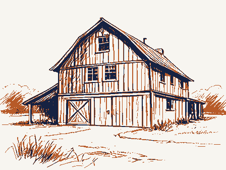
National Register reference number.79003646- the number the National Park Service assigned this property when it was listed, and the key its nomination file is catalogued under at the National Archives.
The ground it stands on
8,248 words
This property stands in Thompson Township. History of Seneca County, Ohio, published 1886 gives that township a chapter of its own.
The chapter covers the township.
Machine-read from a century-old scan, so
expect the errors a machine makes: misspelled names, dropped words,
stray characters.
Regional context, not property-specific
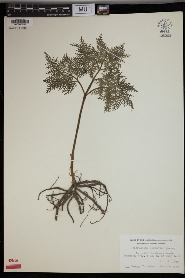
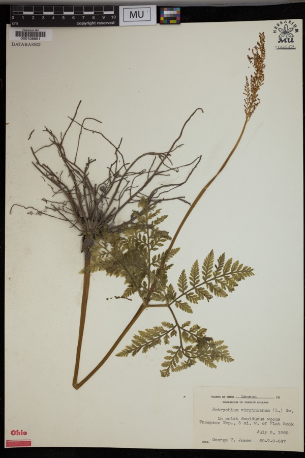
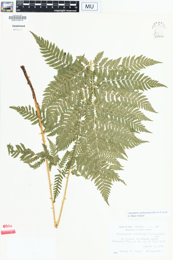
evidence. Museums hold 6 specimens
collected within 10 miles of Henny Barn between 1943 and 1969: 5 Plantae, 1 Animalia.
5 distinct Species records are shown.
Collected by C A Foster, Jones, G.T., R.L. Stuckey. Each is a
physical object with a catalogue
number, and each entry opens the museum's record. This is what was
collected and kept, not a survey of what lives here - nothing can be
concluded from a species being absent.
Regional context, not property-specific
evidence. The federal mineral resources record lists
8 workings within 5 miles of Henny Barn: 5 past producers, 3 producers.
3 still produce. What was taken out: Limestone, General, Sand and Gravel, Construction, Stone, Crushed/Broken, Limestone, Dimension, Stone, Crushed/Broken. Distance is straight-line from the
map coordinates, so a quarry counted here may appear on a neighbouring
settlement's page as well.
Regional context, not property-specific
evidence. The National Weather Service names
Flat Rock, the town this property stands in, in 4 storm reports between 2006 and 2025: 3 hail, 1 thunderstorm wind.
No death or injury is recorded in these reports. Each account below is quoted exactly as the forecast office
filed it, from the NOAA Storm Events Database, and each date
opens the federal record of that event.
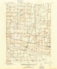
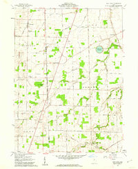
United States Geological Survey topographic
sheets whose coverage includes this point. Matched by taking the coordinate the National Park Service records for this property, then
testing that coordinate against the published boundary of every sheet.
When this property was proposed for the
National Register, someone wrote the case for it: what the building is,
and why it matters. That document is a federal record in the public domain.
It is quoted below word for word, never summarised. The text was read off the scanned case file by machine, so the
occasional stray character is the recogniser's and the 1970s
typewriter's.
Description of the property
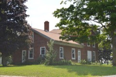
buildings with great facility, a saving of timber, and without requiring skilled help." masonry buildings, they were part of the movement to develop essentially pre-fabricated suitable dimensions, according to the size of the building to be erected." In this case, two planks are used (see photo 3 for identification of posts, girdens, etc.). The the corner of a building, one finds a joint such as that shown in photo 6; here tenoned with a cleat. On the other side of the beam, there are three planks, one running from CONDITION CHECK ONE the clues necessary to find the information below.
Morris and Slanser noted in their patent specifications that their goal was each have tenon ends which are fitted into the mortised planks forming the post.Beneath _DETERIORATED these girders is a single piece of wood with a section notched out that is exactly as Although the patent specifications sometimes contain the same material, the lengths so as to form therewith a compound plank construction that gives strength and the rafters forming the roof (see photo 3). These diagonal brace-pieces are bolted to width of the barn, which run from the sides of the barn to the center and are joined This patent also specifies that the planks making up the beams are of different shows how this girder and post joint is handled at a doorway.
buildings, since this barn would have been constructed of planks sawed at the saw mill girders meet at right angles with the one on the left in the photo slightly below the one with the diagonal brace pieces for the roof attached to the posts.
specitications indicate he lived in Lakue in 1876 and 1877. He became a partner in the and operated it himself until his death on November 15, 1902. A son, Joseph A., took over the business when his father died. Slanser, then, would have been a logical partner in consecutive years, is a prominent member and liberal supporter of the Methodist Episcopal Church, with which he has been officially connected as a minister for many years." Maybe PERIOD THEATER EDUCATION BUILDER/ARCHITECT ARCHEOLOGY-HISTORIC CONSERVATION RELIGION AGRICULTURE SIGNIFICANCE LAW atlas.
POLITICS/GOVERNMENT PREHISTORIC LITERATURE MILITARY INDUSTRY This barn is very important architecturally because it illustrates the use _COMMUNICATIONS _EXPLORATION/SETTLEMENT 1835 in Switzerland and was the son of Andrew and Catherine Slanser.One history says SOCIAL/HUMANITARIAN in the county history gives no clear clue to his involvement in the patents.
Morris was Rev.William Morris is a more interesting figure since the biographical sketch that his mother died in Switzerland and that Joseph and his father came to America in these inventions since he would have had a vested interest in promoting the use of lumber According to the Marion County histories, Joseph Slanser was born October 5, this barn is also in some danger since it is vacant and subject to vandalism.The details these inventions with Slanser, who may have seen this as an opportunity to experiment with turned up only one other barn like it in Seneca County (which is heavily used and He then taught for about four years, married, and fathered seven children. Morris was Morris and Joseph Slanser of LaRue (Marion County),Ohio.
An informal survey has _COMMERCE _PHILOSOPHY X_INVENTION developed on the same building. therefore almost impossible to photograph as well as this one) and none in Marion County; instead of the heavy beams then used in barns.
Quoted from the National Register nomination
for reference 79003646, 28 pages, held by the National Archives in Record
Group 79. See the
catalogue record.
Listed places nearby
1 within 8 miles
Other National Register properties close
enough to walk or drive between, ordered by distance from this one. Both
positions come from the same geocoding pass that matched these properties
to their map sheets.
Listing record. National Park Service National Register of Historic Places, listed-properties dataset, current to 2026-05-22.
Map join. Address geocoded through the United States Census geocoder, then tested against the published boundary of every sheet in the USGS Historical Topographic Map Collection.
How this page is made. Listing fields come from federal records; map-sheet coverage is a labelled coordinate-to-boundary calculation, not a source-field claim.
Specimens. Global Biodiversity Information Facility (GBIF), https://www.gbif.org/. Only records licensed CC0 or CC BY are used. Records licensed CC BY-NC are excluded because this site carries advertising. Images are checked individually and any whose licence is non-commercial, no-derivatives or unreadable is refused.
Mines and quarries. USGS Mineral Resources Data System (MRDS) https://mrdata.usgs.gov/mrds/ A work of the United States government, no copyright under 17 U.S.C. 105.
Storms. NOAA National Centers for Environmental Information, Storm Events Database https://www.ncei.noaa.gov/stormevents/ A work of the United States government, no copyright under 17 U.S.C. 105. Narratives are quoted verbatim from the National Weather Service report and are not edited or summarised.
 Block