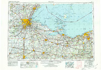
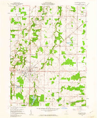
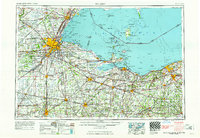
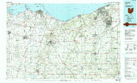
Listed on the National Register of Historic Places in 1979. 6 historic topographic surveys show this location, the earliest from 1904.
From the record
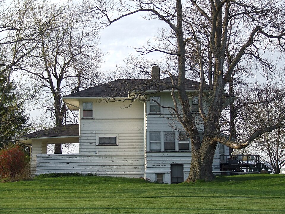
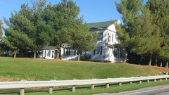
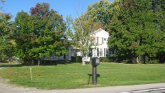
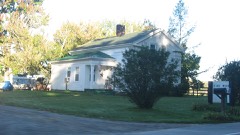
“The Mosher House is a Prairie-style house constructed by John A. The two-story house has an asymmetrical cruciform plan with an open porch at the west side facing the street.”
Wikipedia article Mosher House, CC BY-SA 4.0.
One of 121 National Register listings published here for Lorain County · listed in 1979 · category: Building.
National Register reference number.79003887- the number the National Park Service assigned this property when it was listed, and the key its nomination file is catalogued under at the National Archives.
Then and now
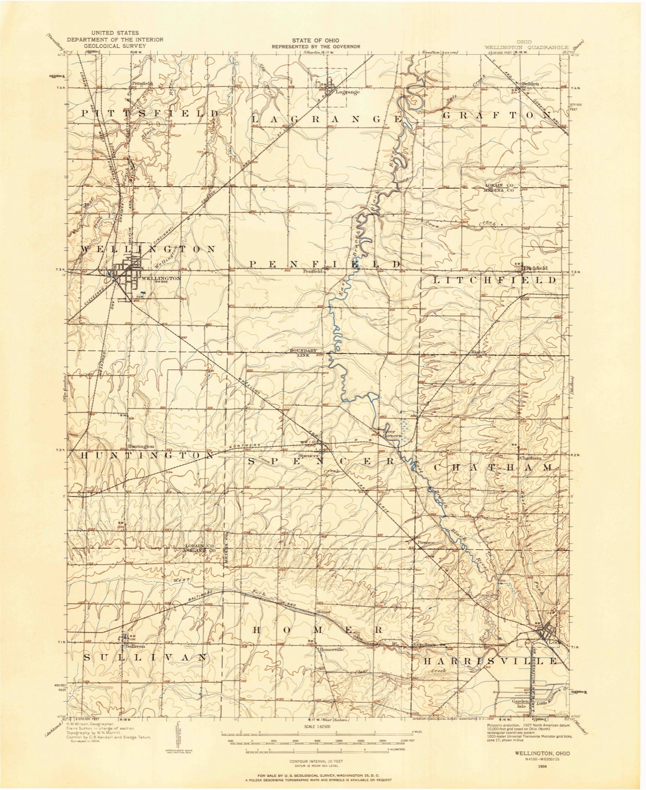
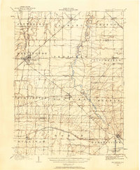
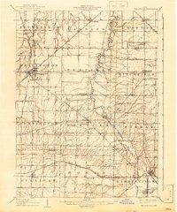
1904 to 1956
The ground this property stands on, surveyed
52 years apart. Drag the handle to wipe between them. Both sheets are
United States Geological Survey originals; neither has been altered.
19041956
The ground it stands on
19,045 words
The chapter on Wellington Township in History of Lorain County, Ohio, published 1879 names Wellington. This is what it says, exactly as the scans read.
The township is traversed by several affluents of Black river, Wellington creek in the eastern, Charlemout creek and the west branch of Black river in the western and northern parts. It is therefore well watered, and has a diversified soil of alluvium and upland. The surface is level, and much of it back from the streams was originally regarded as swale lands, but their adaptation for meadow and grazing purposes is unsurpassed. There is not an acre of waste laud in the township. In the eastern jjart are still seen the remains of an old beaver dam, which in an early day served to Hood an extent of fifty or seventy-five acres, and was known as Wellington swain|i. It ali'orded a secure retreat for wild animals. It was the haunt of the bear and the wolf. Its impenetrable thickets afforded an effectual screen from the hunter's vigilance. The wolf, for miles away, when closely pursued, headed for Wellington swamp, and it was a struggle of skill and endurance on the part of the hunter to cut him off' from that retreat. The east and west center road, when constructed, crossed it in the middle. The road was made by felling the brush upon the surface of the morass, upon which stringers were placed lengthwise upo;i cross i)ieces placed on the brush; over these stringers the corduroy covering was laid. The road was literally a bridge, which, as used, would gradually settle below the surface, when other stringers were jilaced aud more corduroy was laid. It was too narrow for teams to meet and pass thereon. If two met, the lightest loaded was unhitched, load removed, wagon uncoupled and crowded to one side, team backed to terra finiin, while the other jnished on. Such hindrances rarely occurred, however, for the noise of the jolting wagon ujion the rough corduroy gave timely notice that the road was occupied.
The Cleveland, Columbus, Cincinnati and Indianapolis railway traverses the townshi]) diagonally, from the northeast to the southwest corner. It is crossed by five roads running north and south, and by three east and west. It is about midway between Elyria on the north, Ashland on the south, Medina on the east, and Norwalk on the west, and on the most direct road to each. This fact, at an early day, gave Wellington importance as the center of local trade, and rendezvous for land owners and settlers.
Regional context, not property-specific
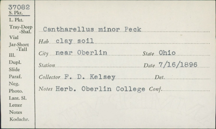
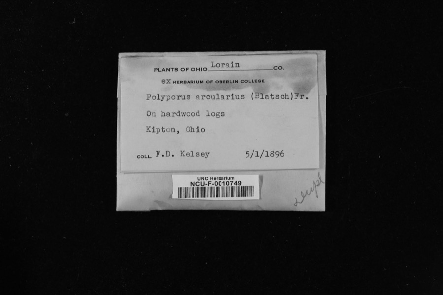
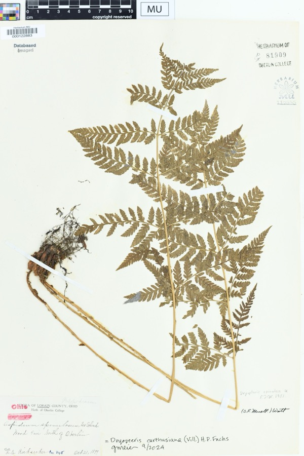
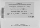
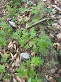
evidence. Museums hold 1,710 specimens
collected within 10 miles of Mosher House between 1852 and 1975: 1,032 Animalia, 486 Fungi, 162 Plantae, 13 Protozoa, 13 Chromista, 4 Unrecorded.
12 distinct Species records are shown.
Collected by A. E. Recksecker, A. E. Ricksecker, A. M. Evans and others. Each is a
physical object with a catalogue
number, and each entry opens the museum's record. This is what was
collected and kept, not a survey of what lives here - nothing can be
concluded from a species being absent.
Regional context, not property-specific
evidence. The National Weather Service names
Wellington, the town this property stands in, in 31 storm reports between 1994 and 2023: 19 thunderstorm wind, 8 hail, 2 tornado, 1 flash flood.
No death or injury is recorded in these reports. Each account below is quoted exactly as the forecast office
filed it, from the NOAA Storm Events Database, and each date
opens the federal record of that event.
A tornado touched down just south of Wellington at the intersection of Pitts and Jones Road. One home suffered significant damage and two barns were destroyed as the tornado moved almost due north. Nine other homes suffered minor damage and trees, utility poles, and power lines were downed. Two dogs in dog boxes that were kept in one of the destroyed barns were found 5 to 15 yards away from the site still in their boxes and unhurt.
A tornado with estimated peak winds of 80 mph impacted Wellington. The tornado began near the intersection of Meadow Lane and Sheila Drive, where tops of trees were broken off and scattered across neighboring streets, residential homes, and vehicles. As the tornado moved southeastward, a large tree was uprooted and fell onto a house along Hale Street. After the tornado crossed OH Route 18, powerlines and several trees were downed, and several large tree limbs were broken off and landed on homes. The tornado ended east of Grand Avenue, south of Dickson Street.
A microburst destroyed a barn, and the debris was blown downwind across a farm field. A neighboring garage and outbuilding also sustained minor damage. Several trees were also downed by the severe winds. There were no injuries reported.
1 paper published in this town,
digitised by the Library of Congress and free to read. Every page is searchable, so a name or a street can be
looked for directly in what the town printed about itself at the time.
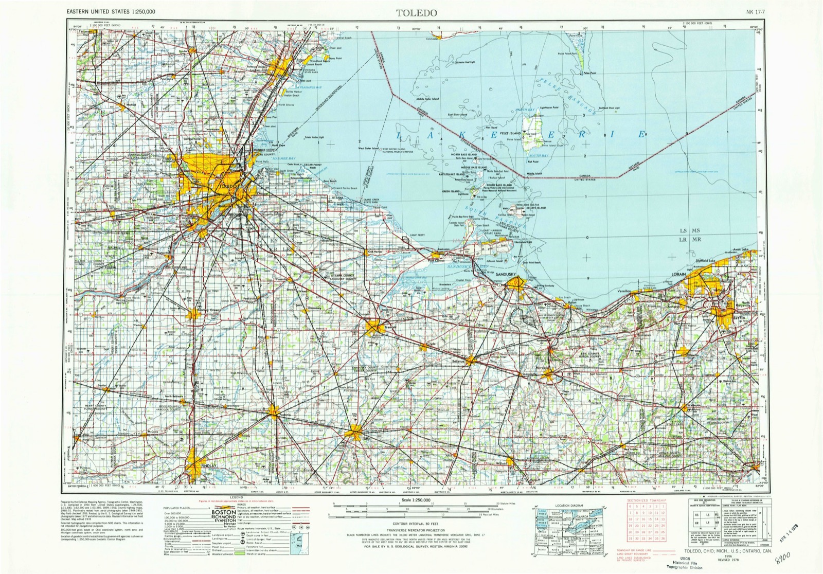
United States Geological Survey topographic
sheets whose coverage includes this point. Matched by taking the coordinate the National Park Service records for this property, then
testing that coordinate against the published boundary of every sheet.
When this property was proposed for the
National Register, someone wrote the case for it: what the building is,
and why it matters. That document is a federal record in the public domain.
It is reproduced in full on its own page, word for word and never summarised. The text was read off the scanned case file by machine, so the
occasional stray character is the recogniser's and the 1970s
typewriter's.
Quoted from the National Register nomination
for reference 79003887, 6 pages, held by the National Archives in Record
Group 79. See the
catalogue record.
Listed places nearby
6 within 8 miles
Other National Register properties close
enough to walk or drive between, ordered by distance from this one. Both
positions come from the same geocoding pass that matched these properties
to their map sheets.
Listing record. National Park Service National Register of Historic Places, listed-properties dataset, current to 2026-05-22.
Map join. Address geocoded through the United States Census geocoder, then tested against the published boundary of every sheet in the USGS Historical Topographic Map Collection.
How this page is made. Listing fields come from federal records; map-sheet coverage is a labelled coordinate-to-boundary calculation, not a source-field claim.
Specimens. Global Biodiversity Information Facility (GBIF), https://www.gbif.org/. Only records licensed CC0 or CC BY are used. Records licensed CC BY-NC are excluded because this site carries advertising. Images are checked individually and any whose licence is non-commercial, no-derivatives or unreadable is refused.
Storms. NOAA National Centers for Environmental Information, Storm Events Database https://www.ncei.noaa.gov/stormevents/ A work of the United States government, no copyright under 17 U.S.C. 105. Narratives are quoted verbatim from the National Weather Service report and are not edited or summarised.
 Block