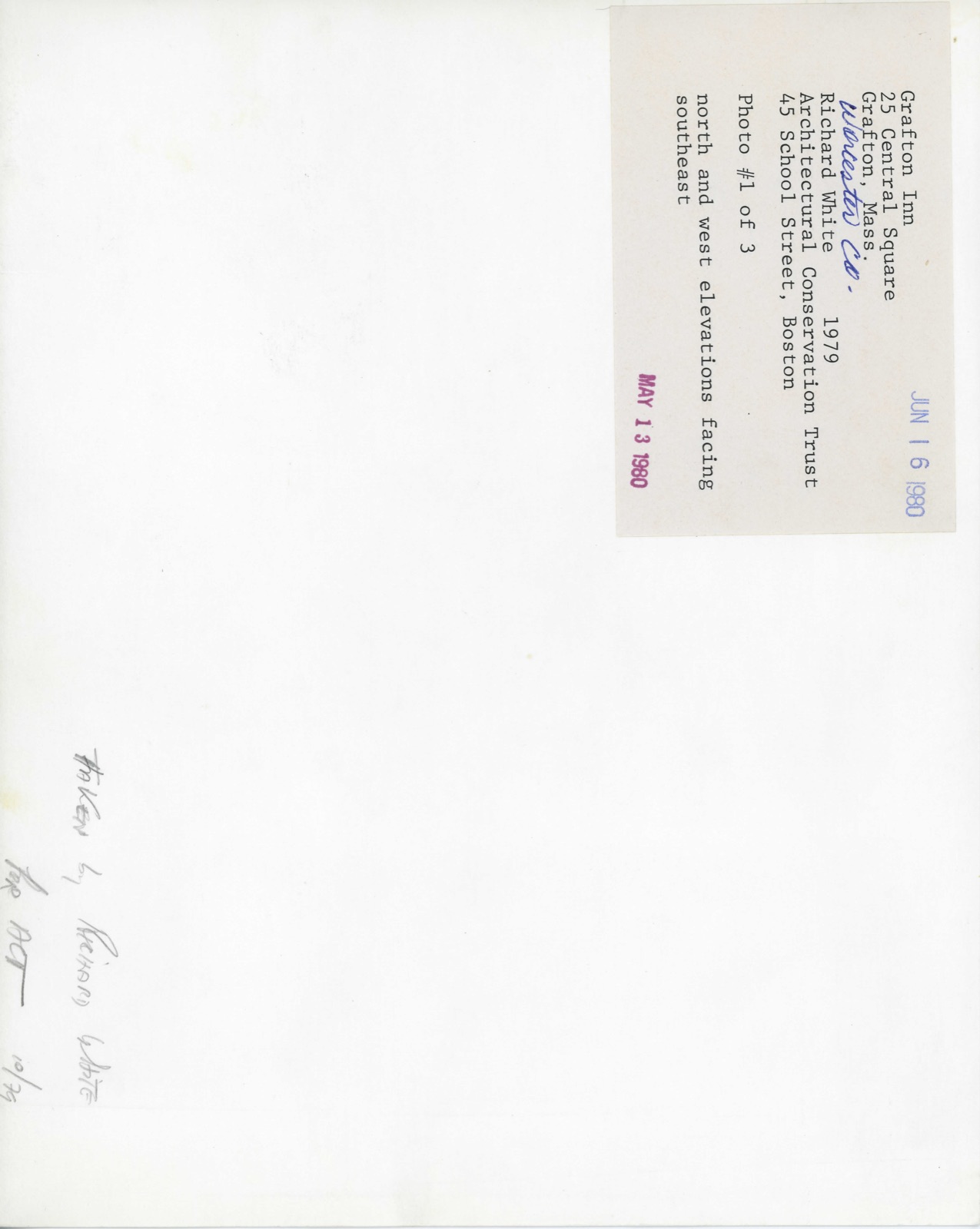
Photographs from the nomination case file, National Park Service records.
Grafton Inn
Listed on the National Register of Historic Places in
1980. A historic map-sheet match is not published yet. The record needs a coordinate-quality review before it can be joined to a sheet boundary.
From the record
one of 500 National Register listings in Worcester County · listed in 1980 · category: Building · one of 1 National Historic Landmarks in Worcester County.
National Register reference number.80001675- the number the National Park Service assigned this property when it was listed, and the key its nomination file is catalogued under at the National Archives.
Fires near this property
79 since 2002
Regional context, not property-specific
evidence. The
federal wildfire occurrence database
lists 79 fires within 5 miles of Grafton Inn between
2002 and 2020, burning about 58 acres in total. None started naturally. 2 were recorded as arson.
Distance is straight-line from the map coordinates, so a fire counted
here may appear on a neighbouring settlement's page as well.
Reported cause
Fires
Debris and open burning
21
Smoking
17
Recreation and ceremony
14
Missing data/not specified/undetermined
10
Power generation/transmission/distribution
6
Railroad operations and maintenance
5
Equipment and vehicle use
2
Misuse of fire by a minor
2
Arson/incendiarism
2
The most recent of
them, most recent first, with the day each was reported and the service
that recorded it.
Regional context, not property-specific
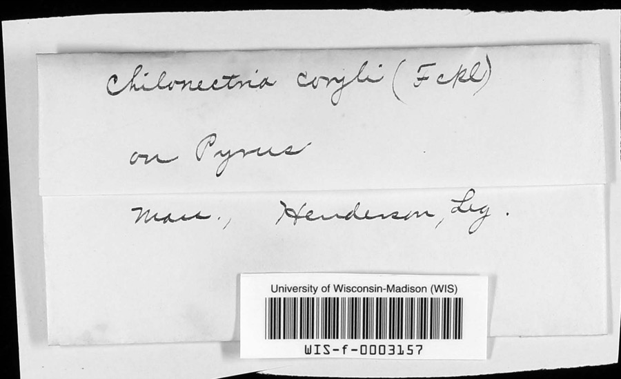
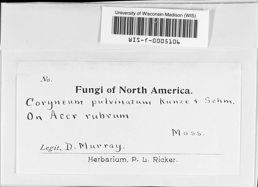
evidence. Museums hold 1,581 specimens
collected within 10 miles of Grafton Inn between 1839 and
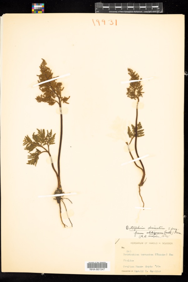
1975: 946 Plantae, 377 Animalia, 226 Fungi, 14 Unrecorded, 14 Protozoa, 4 Chromista. 12 distinct Species records are shown.
Collected by A E WOODHEAD, A. A. Eaton, A. B. Seymour and others. Each is a
physical object with a catalogue
number, and each entry opens the museum's record. This is what was
collected and kept, not a survey of what lives here - nothing can be
concluded from a species being absent.
Regional context, not property-specific
evidence. The federal mineral resources record lists
16 workings within 5 miles of Grafton Inn: 9 past producers, 5 producers, 1 unknown, 1 plant.
6 still produce. What was taken out: Sand and Gravel, Construction, Titanium, Metal. Distance is straight-line from the
map coordinates, so a quarry counted here may appear on a neighbouring
settlement's page as well.
Regional context, not property-specific
evidence. The National Weather Service names
Grafton, the town this property stands in, in 13 storm reports between 1995 and 2017: 7 thunderstorm wind, 5 hail, 1 flood.
No death or injury is recorded in these reports. Each account below is quoted exactly as the forecast office
filed it, from the NOAA Storm Events Database, and each date
opens the federal record of that event.
Two inch diameter hail fell in Grafton damaging screens and vinyl shutters on the west side of one house. On Route 122A, hail covered the ground, making the road slick, and broke car windows.
Lincoln and Cambridge Streets in Worcester were flooded with one to two feet of water. The intersection of Ward Street and Route 122 in Millbury was flooded with one and a half feet of water. In Grafton, Hayes Pond overflowed onto East Road spilling water onto the road up to four inches in depth.
No historic map-sheet match is published
for this property yet. That does not mean no map exists. This record needs
a coordinate-quality review before it can be joined to a sheet boundary.
Browse the county's mapped places while that work is
pending.
From the nomination file
2,608 words on record
When this property was proposed for the
National Register, someone wrote the case for it: what the building is,
and why it matters. That document is a federal record in the public domain.
It is quoted below word for word, never summarised. The text was read off the scanned case file by machine, so the
occasional stray character is the recogniser's and the 1970s
typewriter's.
Description of the property
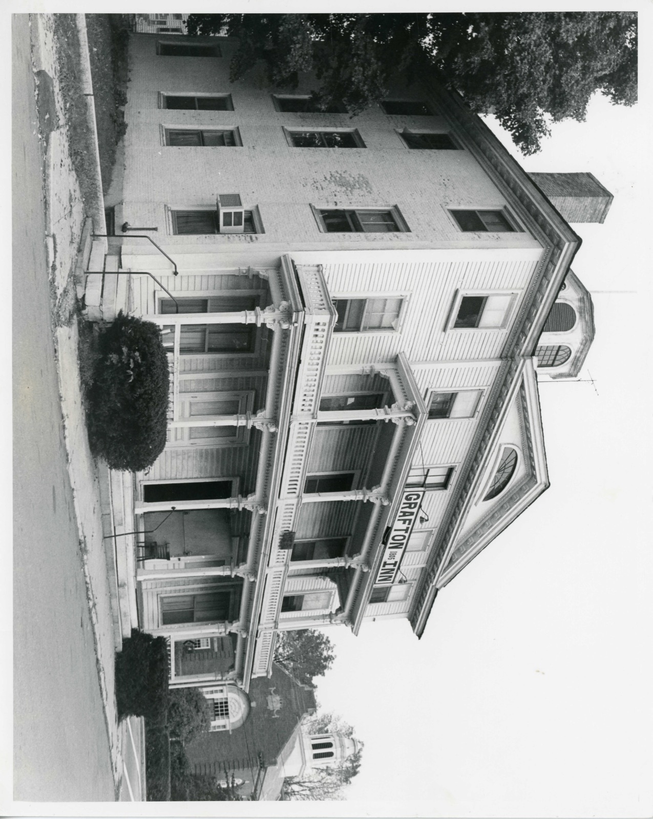
The Grafton Inn (Hassaminisco House) is a rectangular three storey, free standing structure, which dominates the eastern side of the Gratton Common and 15 comprised of two parts. Ihe western section, facing on the common and erected 1805/6 is a Federal structure of considerable design distinction. An ell, equal in size to the original structure completely obliterates the eastern elevation. The major 5 bay facade faces west and, rising above a low granite foundation, is presently augmented by a two storey Italianate style porch, which was added some- time after the fire which in 1863 destroyed the Warren Block and Town Hall and the Baptist Church to the north.
At the first storey the proch extends across the full five bays of the facade, while at the second storey it occupies only the center three. At both levels it is supported by chamfered posts with elaborately carved brackets. The symmetrical and high style western facade is articulated by a projecting central bay, the pediment of which rises above the eaves. This pediment breaks forward from a typically Federal, low hipped roof (now surfaced in asphalt shingle), which rises from all fours sides to a central monitor. Orginally, a parapet, comprised of turned ballusters similar to those (now also missing) which once decorated the central, domed belvedere, originally ornamented the joint of the monitor.
The western facade is surfaced in clapboard, while the north and south elevations, incorporating four symmetrically located, chimneys, are executed in brick. eaves of the inn are decorated with mutules, a rope molding and dentiles and are thus identical to those found on many contemporaneous works by Charles Bulfinch, such as the Ihird Harrison Gray Otis House at 45 Beacon Street in Boston, of the same date.
(in one paragraph) Builder/Architect Samuel Wood (builder) The Grafton Inn possesses integrity of location, design, setting, materials and work- manship and strong associations with the development of Grafton Common. Its primary significance derives from the high quality of its Federal period design. It's cubical for enclosed by a low hipped roof with monitor and octagonal belvedere typify the best of the period. The finest feature is the cornice which incorporates, dentiles, mutules and a rope molding.
The Hassanamisco House (now the Grafton Inn) was named after the Indian tribe which first occupied the area, and today still have a reservation in the Brigham Hill Road area of The Inn, on the Grafton Common, was strategically located at the intersection of Route 122 (Worcester to Providence) and an old Indian trail which had been used by white men as early as the 17th century when, Thomas Hooker led his migration following this trail 160 miles southwest from Cambridge to found Hartford, Connecticut in 1636. This central mail coach stop and cross roads was by-passed only a few years after the Inn was erected in 1805/6 due to the building of the Worcester Turnpike from Boston (Route #9).
Samue 1 Wood, who built the Inn, was from Hopkinton (Woodville) born in 1761 and moved early in life to Grafton, where he joined many other members of the Wood family, including his brother, Dr. Joseph Wood, who first employed him on his farm and store. Known for his energy, Samuel Wood built the Grafton Inn in 1805/6 and was its proprietor and the principle hotel keeper of Grafton until his death in 1813. The high style building, and its obvious relationship to the designs of Charles Bulfinch and Asher Benjamin 1s supported historically by known connections of Samuel Wood to Boston.
Quoted from the National Register nomination
for reference 80001675, 13 pages, held by the National Archives in Record
Group 79. See the
catalogue record.
Listed places nearby
6 within 8 miles
Other National Register properties close
enough to walk or drive between, ordered by distance from this one. Both
positions come from the same geocoding pass that matched these properties
to their map sheets.
Listing record. National Park Service National Register of Historic Places, listed-properties dataset, current to 2026-05-22.
Map join. Address geocoded through the United States Census geocoder, then tested against the published boundary of every sheet in the USGS Historical Topographic Map Collection.
How this page is made. Listing fields come from federal records; map-sheet coverage is a labelled coordinate-to-boundary calculation, not a source-field claim.
Wildfire. Short, Karen C. 2022. Spatial wildfire occurrence data for the United States, 1992-2020 [FPA_FOD_20221014]. 6th Edition. Fort Collins, CO: Forest Service Research Data Archive. https://doi.org/10.2737/RDS-2013-0009.6 Collected with United States Government funding and usable without additional permissions or fees.
Specimens. Global Biodiversity Information Facility (GBIF), https://www.gbif.org/. Only records licensed CC0 or CC BY are used. Records licensed CC BY-NC are excluded because this site carries advertising. Images are checked individually and any whose licence is non-commercial, no-derivatives or unreadable is refused.
Mines and quarries. USGS Mineral Resources Data System (MRDS) https://mrdata.usgs.gov/mrds/ A work of the United States government, no copyright under 17 U.S.C. 105.
Storms. NOAA National Centers for Environmental Information, Storm Events Database https://www.ncei.noaa.gov/stormevents/ A work of the United States government, no copyright under 17 U.S.C. 105. Narratives are quoted verbatim from the National Weather Service report and are not edited or summarised.
 Block
Block