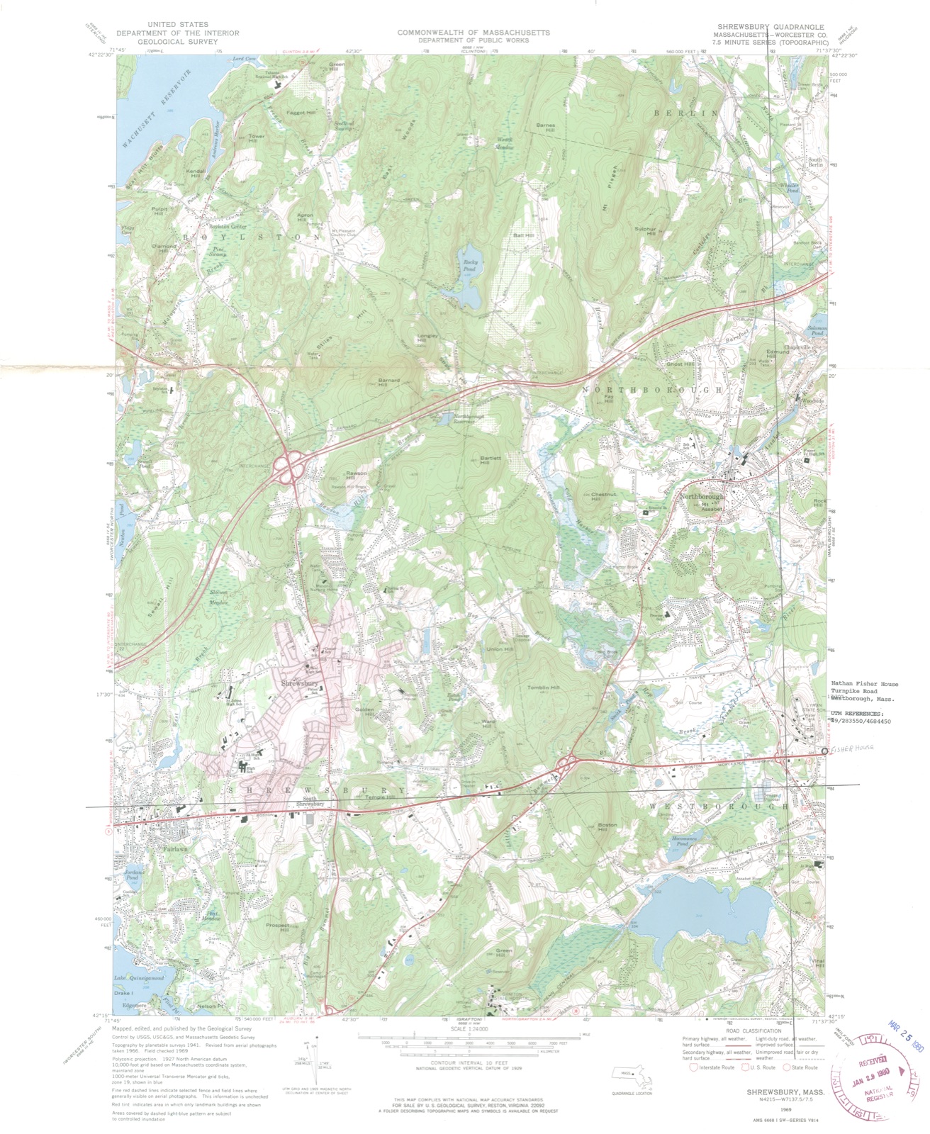
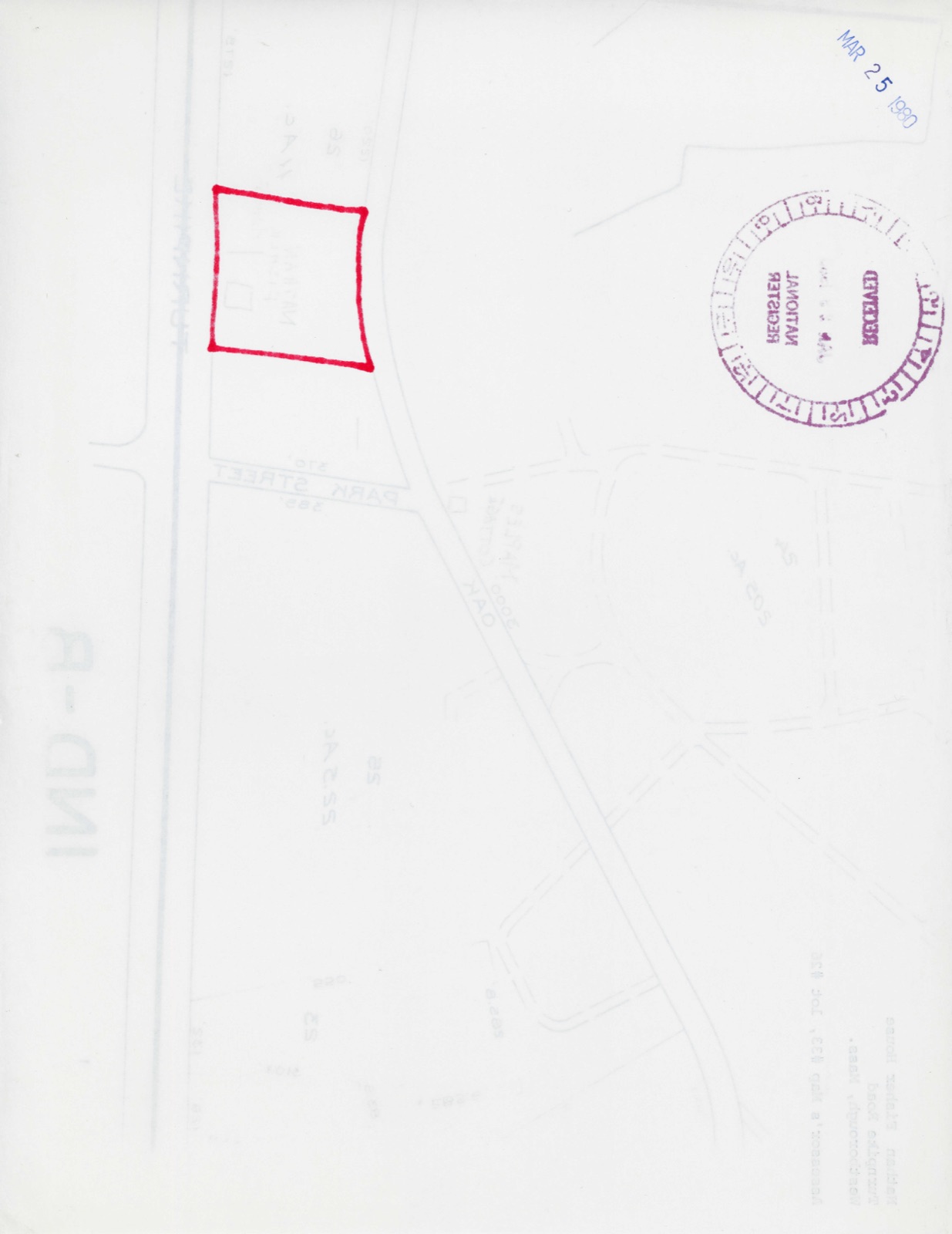
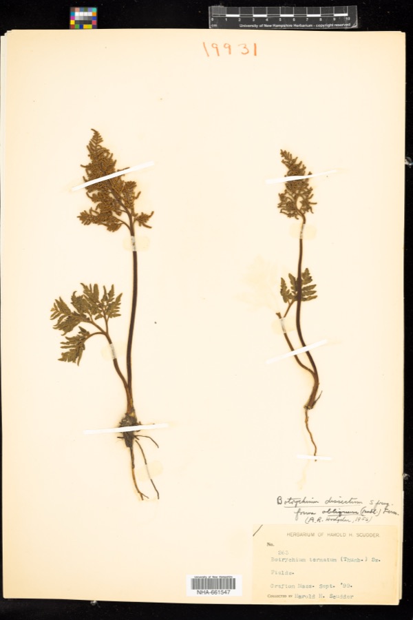
Photographs from the nomination case file, National Park Service records.
Fisher, Nathan, House
Listed on the National Register of Historic Places in
1980. A historic map-sheet match is not published yet. The record needs a coordinate-quality review before it can be joined to a sheet boundary.
From the record
one of 500 National Register listings in Worcester County · listed in 1980 · category: Building · one of 1 National Historic Landmarks in Worcester County.
National Register reference number.80001679- the number the National Park Service assigned this property when it was listed, and the key its nomination file is catalogued under at the National Archives.
Regional context, not property-specific
evidence. The
federal wildfire occurrence database
lists 44 fires within 5 miles of Fisher, Nathan, House between
2015 and 2020, burning about 30 acres in total. None started naturally. 4 were recorded as arson.
Distance is straight-line from the map coordinates, so a fire counted
here may appear on a neighbouring settlement's page as well.
Reported cause
Fires
Missing data/not specified/undetermined
13
Debris and open burning
12
Smoking
8
Recreation and ceremony
6
Arson/incendiarism
4
Equipment and vehicle use
1
The most recent of
them, most recent first, with the day each was reported and the service
that recorded it.
Regional context, not property-specific
evidence. Museums hold 1,164 specimens
collected within 10 miles of Fisher, Nathan, House between 1840 and
1975: 485 Plantae, 478 Animalia, 191 Fungi, 5 Chromista, 3 Protozoa, 2 Unrecorded. 12 distinct Species records are shown.
Collected by A E WOODHEAD, A. B. Seymour, A. H. Chivers and others. Each is a
physical object with a catalogue
number, and each entry opens the museum's record. This is what was
collected and kept, not a survey of what lives here - nothing can be
concluded from a species being absent.
Regional context, not property-specific
evidence. The federal mineral resources record lists
3 workings within 5 miles of Fisher, Nathan, House: 2 producers, 1 unknown.
2 still produce. What was taken out: Sand and Gravel, Construction. Distance is straight-line from the
map coordinates, so a quarry counted here may appear on a neighbouring
settlement's page as well.
Regional context, not property-specific
evidence. The National Weather Service names
Westborough, the town this property stands in, in 27 storm reports between 1998 and 2023: 16 thunderstorm wind, 6 hail, 2 lightning, 2 flood.
The reports record 1 injury. Each account below is quoted exactly as the forecast office
filed it, from the NOAA Storm Events Database, and each date
opens the federal record of that event.
A concentrated area of wind damage in Westborough was found by an NWS storm survey team around Chauncy and Oak Streets and extended ENE to the east shore of Chauncy Pond on the old Westborough State Hospital property and to the ESE along Flanders Street. Numerous hardwood and softwood trees, some very large, were uprooted or snapped off. A few landed on houses and vehicles. Most of the downed trees were lying in an easterly direction except more toward the ENE along the east shore of Chauncy Pond, consistent with what one might expect to be something of a divergent pattern with a microburst. At the southern edge of the damage swath no more than a quarter mile from downtown Westborough, the trees and branches seemed to be lying in a more ESE direction, again suggesting a hint of a divergent pattern. Several signs were blown down along Route 9, including a large restaurant sign and a billboard. A resident along Chauncy Street who took video looking out of his basement window showed an image that showed the storm approaching at 7:55 PM EDT and damage occurring at 8:02 PM EDT. The concentrated part of the microburst began about a half mile west of the Route 9 and Lyman Street intersection and ended about three quarters of a mile east of that point. The westernmost sign of damage observed was a tree down along Otis Street. It is possible that some damage occurred further west but was not part of the survey area. The team encountered one of the largest root balls they had ever seen on the old Westborough State Hospital grounds. Scattered damage was observed to the east into Southborough.
No historic map-sheet match is published
for this property yet. That does not mean no map exists. This record needs
a coordinate-quality review before it can be joined to a sheet boundary.
Browse the county's mapped places while that work is
pending.
From the nomination file
1,838 words on record
When this property was proposed for the
National Register, someone wrote the case for it: what the building is,
and why it matters. That document is a federal record in the public domain.
It is quoted below word for word, never summarised. The text was read off the scanned case file by machine, so the
occasional stray character is the recogniser's and the 1970s
typewriter's.
Description of the property
The Nathan Fisher House stands on the north side of the Boston-Worcester Turnpike (Route 9), east of its junction with Park Street. It is a two-storey Federal style house of timber-frame construction. The building has a rectangular plan with an ell added to its northeast corner during the twentieth century. The structure rests on a foundation of hammered granite (eastern 2/3 of structure) and rock-faced granite (western 1/3 of structure). The building's exterior is covered with clapboarding and trimmed with narrow corner boards and a moulded cornice; the roof is a hip with monitor and is covered with sheet asphalt. Three interior chimneys rise from positions in between front and rear rooms.
With the exception of three-pane lights in the monitor and six windows of original 12/12 sash on the north wall, the house's windows all contain 6/6 sash (an apparent mid-niateenth century alteration) set in moulded frames. A change in foundation immediately east of the facade's west entry, from hammered granite (eastward) to. rock- faced granite (westward) and the apparent splicing of the water table, clapboards and cornice above this change in the foundation suggest that the western third of the house was added, perhaps shortly after the completion of the original structure, or during the 1830's. South Wall: The Fisher House's facade faced south and is visible from Route 9. It is asymmetrically arranged, reflecting the interior's division into two units.
The larger eastern unit possesses the facade's major entry, two evenly spaced windows which flank each side of the entry and five windows above, at the second story. smaller western unit contains a entry, two closely spaced windows west of the EZEEEZA entry and three closely spaced windows immediately above, at the second story.
/Architect Builder unknown Statement of Significance (in one paragraph) In 1820, Fisher purchased the land on which the house stands and is thought to have constructed the major section of the building (east) around 1822 when he married susanne Lothrop. Local histories state that by 1826* Fisher and his brother-in-law, Joseph Lothrop, had opened the town's first store in a section of Fisher's house, which had been added for that purpose, presumably the western one third of the structure. Soon after, Fisher and Lothrop constructed on the property a thread factory in which steam power was used for the first time in Westborough. 1..1 In 1884, the Fisher House and neighboring houses were bought by the Commonwealth of!
Massachusetts 'to be used as part of the Lyman School, a reform school which was being moved from its original location on Lyman Street, Westborough, to a new site several as a staff residence and land in the area was farmed by the school's students. Mid- twentieth century changes in curriculum have eliminated the farming program; the elim- ination of a resident staff andsudent body has left many buildings on the school property vacant. At present, only a portion of the Fisher House is occupied. The Nathan Fisher House possesses integritý of location, design, materials and work- manship as well as historical associations with the early development of Westborough.
Located in the original eighteenth century town center, its fine Federal detail is re- presentative of this area's major period of significance. "Although Westborough was established as a town in 1717, there was little stimulus for growth until the opening of the Boston-Worcester Turnpike (Route 9) in 1810. The installation of the Boston-Albany Railroad in 1834, however, curtailed development in this area and shifted the town center southward.
Quoted from the National Register nomination
for reference 80001679, 10 pages, held by the National Archives in Record
Group 79. See the
catalogue record.
Listed places nearby
6 within 8 miles
Other National Register properties close
enough to walk or drive between, ordered by distance from this one. Both
positions come from the same geocoding pass that matched these properties
to their map sheets.
Listing record. National Park Service National Register of Historic Places, listed-properties dataset, current to 2026-05-22.
Map join. Address geocoded through the United States Census geocoder, then tested against the published boundary of every sheet in the USGS Historical Topographic Map Collection.
How this page is made. Listing fields come from federal records; map-sheet coverage is a labelled coordinate-to-boundary calculation, not a source-field claim.
Wildfire. Short, Karen C. 2022. Spatial wildfire occurrence data for the United States, 1992-2020 [FPA_FOD_20221014]. 6th Edition. Fort Collins, CO: Forest Service Research Data Archive. https://doi.org/10.2737/RDS-2013-0009.6 Collected with United States Government funding and usable without additional permissions or fees.
Specimens. Global Biodiversity Information Facility (GBIF), https://www.gbif.org/. Only records licensed CC0 or CC BY are used. Records licensed CC BY-NC are excluded because this site carries advertising. Images are checked individually and any whose licence is non-commercial, no-derivatives or unreadable is refused.
Mines and quarries. USGS Mineral Resources Data System (MRDS) https://mrdata.usgs.gov/mrds/ A work of the United States government, no copyright under 17 U.S.C. 105.
Storms. NOAA National Centers for Environmental Information, Storm Events Database https://www.ncei.noaa.gov/stormevents/ A work of the United States government, no copyright under 17 U.S.C. 105. Narratives are quoted verbatim from the National Weather Service report and are not edited or summarised.
 Block
Block