Listed on the National Register of Historic Places in
1980. A historic map-sheet match is not published yet. The record needs a coordinate-quality review before it can be joined to a sheet boundary.
From the record
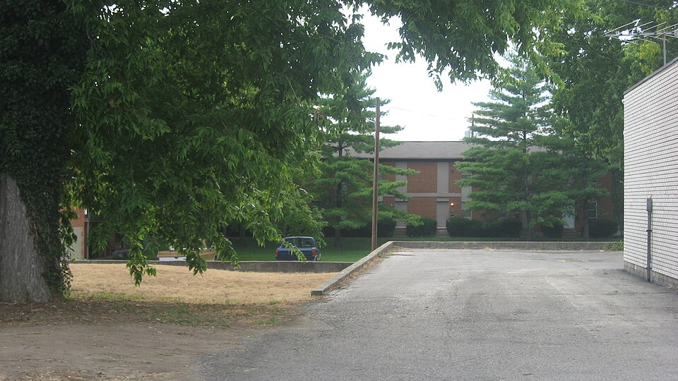
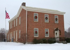
“The Symmes Mission Chapel was a historic church building in the city of Fairfield, Ohio, United States. A simple structure constructed in the 1840s, it was named a historic site in the 1980s, but it is no longer standing.”
Wikipedia article Symmes Mission Chapel, CC BY-SA 4.0.
one of 63 National Register listings in Butler County · listed in 1980 · category: Building · one of 3 National Historic Landmarks in Butler County.
National Register reference number.80002946- the number the National Park Service assigned this property when it was listed, and the key its nomination file is catalogued under at the National Archives.
No creeks of any considerable size flow through Fairfield, yet it is well drained by natural streams, artificial ditches, and tiling. The lack of large creeks prevented any mills in the interior of the township from running regularly by water power, though along the Miami excellent mill sites were found and utilized. Above Pinney's mill, at the mouth of Bank Lick Creek, a stream which takes its rise in Colerain Township, Hamilton County, and which is very rapid in its current, an ''old stone mill" was built as early as 1810. Joel Williams, a Yankee mill-wright from the East, acted as the builder. This stream takes its name from the fact that in the early settlement of the country deer frequented it to drink the peculiar water which in some places flows from its banks. The mill was a stone building about thirty by thirty-five feet, one story high. The grinding machinery was propelled by an undershot or breast wheel; a race carried the water from some distance above. The walls were about twelve feet high and eighteen inches thick; the stone were taken from the bed of the stream. For years this mill called together many of the people in the township. It finally ceased to be a profitable establishment, and for years thereafter stood idle. Some fifteen years ago the building was torn away and now the mill site can hardly be found.
Bigham's mill was built about seventy years ago by some unknown mill-wright, though the father of Thomas McCullough, now of Oxford, was perhaps the original owner. For many years it was the only mill of considerable importance in the north-east corner of Fairfield. Settlers came a distance of ten and fifteen miles frequently to have their cofm ground at this pioneer mill ; and many of them relate how the half bushel of corn was put in one end of a sack and a large stone in the other, to make it balance. Many customers remained over night at McCullough's (or Bigham's) mill in order to be on time in the morning, or to save a ride through the woods of half a dozen or more miles before sunrise. This establishment stood in the north-west corner of Section 26.
Regional context, not property-specific
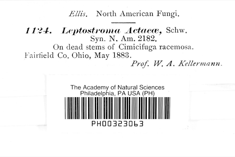
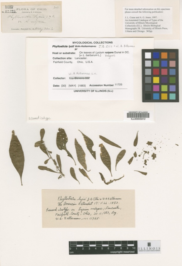
evidence. Museums hold 449 specimens
collected within 10 miles of Symmes Mission Chapel between 1835 and
1975: 392 Animalia, 43 Plantae, 11 Fungi, 2 Protozoa, 1 Unrecorded. 12 distinct Species records are shown.
Collected by A. R. Gaufin, A.R. Gaufin, H.H. Ross, Arden R. Gaufin and others. Each is a
physical object with a catalogue
number, and each entry opens the museum's record. This is what was
collected and kept, not a survey of what lives here - nothing can be
concluded from a species being absent.
Regional context, not property-specific
evidence. The federal mineral resources record lists
16 workings within 5 miles of Symmes Mission Chapel: 6 past producers, 6 producers, 2 plants, 2 unknowns.
8 still produce. What was taken out: Sand and Gravel, Construction, Iron. Distance is straight-line from the
map coordinates, so a quarry counted here may appear on a neighbouring
settlement's page as well.
Regional context, not property-specific
evidence. The National Weather Service names
Fairfield, the town this property stands in, in 25 storm reports between 1993 and 2025: 14 thunderstorm wind, 7 hail, 2 flood, 1 lightning.
No death or injury is recorded in these reports. Each account below is quoted exactly as the forecast office
filed it, from the NOAA Storm Events Database, and each date
opens the federal record of that event.
Numerous trees were uprooted, several chimneys were damaged, several buildings had siding torn and shingles blown off, a carport collapsed, a power pole was snapped, and twenty cars at a car dealership sustained minor damage due to thunderstorm winds. In addition, the roofs of two businesses were damaged due to the winds.
Two large oak trees were knocked down on a house, causing extensive damage. Four vehicles were also damaged. The location was reported as being in Hamilton at the corner of Beech and Pleasant avenues.
No historic map-sheet match is published
for this property yet. That does not mean no map exists. This record needs
a coordinate-quality review before it can be joined to a sheet boundary.
Browse the county's mapped places while that work is
pending.
From the nomination file
1,079 words on record
When this property was proposed for the
National Register, someone wrote the case for it: what the building is,
and why it matters. That document is a federal record in the public domain.
It is quoted below word for word, never summarised. The text was read off the scanned case file by machine, so the
occasional stray character is the recogniser's and the 1970s
typewriter's.
Description of the property
firm of Goetzman and Fullmer reveals that the fenestration on the front elevation was other changes have been made to the interior and consist primarily of new partitions CONDITION UNALTERED EXCELLENT RUINS The chapel retains most of its original integrity.A fabric analysis conducted by the the first floor are taller than those on the second.All bays are covered with paneled CHECK ONE XFAIR use of cornice returns, smooth wooden frieze, and generally symmetrical fenestration. altered.Two small windows on the second floor were replaced by the existing center and a stairway. shutters, although the front entrance, which is quite narrow, exhibits louvered doors.
The plain clapboard wall treatment is enhanced by small rectangular bays, those on Built circa 1843,Symmes Mission Chapel isa rectangular plan two story frame building -UNEXPOSED X ALTERED of mortise and tenon construction. The fenestration, albeit modest in design and DATE _DETERIORATED bay.In Mr.Goetzman's opinion this alteration was done prior to 1900.The only -GOOD AREAS OF
Statement of significance
severe but distinctive design makes it a seldom used example of vernacular church 1500-1599 1700-1799 1400-1499 ART ARCHEOLOGY-HISTORIC X1800-1899 CONSERVATION INVENTION EDUCATION PERIOD PREHISTORIC COMMERCE AGRICULTURE SIGNIFICANCE THEATER SCIENCE TRANSPORTATION POLITICS/GOVERNMENT LITERATURE XARCHITECTURE MILITARY SCULPTURE 1900- INDUSTRY MUSIC religious and educational activities, and recently it was acquired by the Historical integrity, and lack of traditional church design elements contribute to its signifi- vernacular architecture in southwestern Ohio.
Furthermore, it is one of the earliest The Symmes Mission Chapel is significant as a unique embodiment of nineteenth century _COMMUNICATIONS _ECONOMICS Society of Fairfield.Today it is one of the few antebellum buildings remaining in important local settler and land developer.From 1843-1968 the chapel was used for - 1600-1699 this rapidly expanding community of 35,0o0. LAW _COMMUNITY PLANNING physical manifestations of religious activity in Fairfield Township. The chapel's -EXPLORATION/SETTLEMENT -PHILOSOPHY ARCHEOLOGY-PREHISTORIC 9
Quoted from the National Register nomination
for reference 80002946, 11 pages, held by the National Archives in Record
Group 79. See the
catalogue record.
Listed places nearby
6 within 8 miles
Other National Register properties close
enough to walk or drive between, ordered by distance from this one. Both
positions come from the same geocoding pass that matched these properties
to their map sheets.
Listing record. National Park Service National Register of Historic Places, listed-properties dataset, current to 2026-05-22.
Map join. Address geocoded through the United States Census geocoder, then tested against the published boundary of every sheet in the USGS Historical Topographic Map Collection.
How this page is made. Listing fields come from federal records; map-sheet coverage is a labelled coordinate-to-boundary calculation, not a source-field claim.
Specimens. Global Biodiversity Information Facility (GBIF), https://www.gbif.org/. Only records licensed CC0 or CC BY are used. Records licensed CC BY-NC are excluded because this site carries advertising. Images are checked individually and any whose licence is non-commercial, no-derivatives or unreadable is refused.
Mines and quarries. USGS Mineral Resources Data System (MRDS) https://mrdata.usgs.gov/mrds/ A work of the United States government, no copyright under 17 U.S.C. 105.
Storms. NOAA National Centers for Environmental Information, Storm Events Database https://www.ncei.noaa.gov/stormevents/ A work of the United States government, no copyright under 17 U.S.C. 105. Narratives are quoted verbatim from the National Weather Service report and are not edited or summarised.
 Block
Block