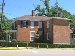
Listed on the National Register of Historic Places in
1980. A historic map-sheet match is not published yet. The record needs a coordinate-quality review before it can be joined to a sheet boundary.
From the record
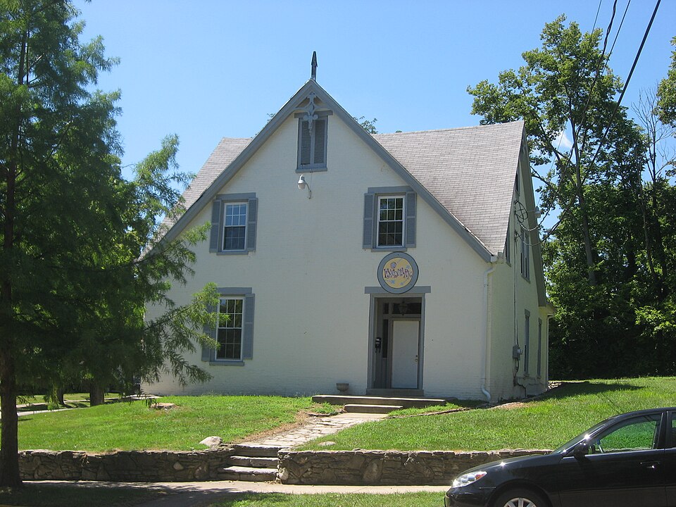
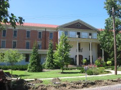
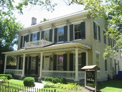
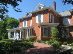
“The Elias Kumler House is a historic residence in Oxford, Ohio, United States. Constructed in the 1850s, it was originally the home of Elias Kumler, who held large influence at multiple educational institutions in Oxford.”
Wikipedia article Elias Kumler House, CC BY-SA 4.0.
one of 63 National Register listings in Butler County · listed in 1980 · category: Building · one of 3 National Historic Landmarks in Butler County.
National Register reference number.80002948- the number the National Park Service assigned this property when it was listed, and the key its nomination file is catalogued under at the National Archives.
August 5, 1811, at a session of the same commissioners, on petition of inhabitants of Milford Township, it was 'ordered, that so much of the township of Milford as lies within the following boundaries, to wit: Beginning at the northwest corner of the county of Butler; thence south with the western boundary line of the said county of Butler to the southwest corner of township numbered five in the first range east of the meridian line drawn from the mouth of the Great Miami River; thence east with the southern boundary line of the same township to the southeast corner thereof; thence north with the eastern boundary line thereof to the north boundary line of the said county of Butler; thence west with the same to the place of beginning, - shall compose a township which shall be called and known by the name of Oxford Township." Election to be held at the house of Sylvester Lyons on the 24th day of August, 1811, for the election of township officers.
Oxford Township presents a variety of soils and surfaces: The land is generally elevated and well. adapted to grazing, the growing of wheat, and produce of all kinds. Farms are small, and the agricultural population large for the territory embraced. With the exception of two or more sections, the land belongs to the Miami University, the trustees of that institution leasing the land for ninety-nine years, renewable forever, subject to the annual payment of a quit-rent of six per cent on the purchase money.
Regional context, not property-specific
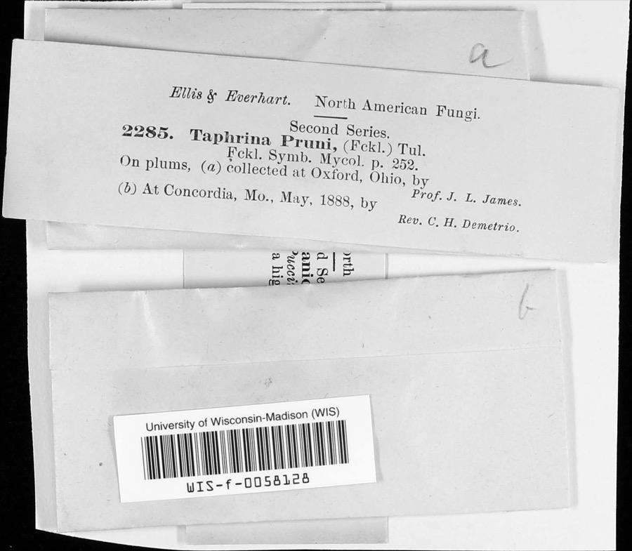
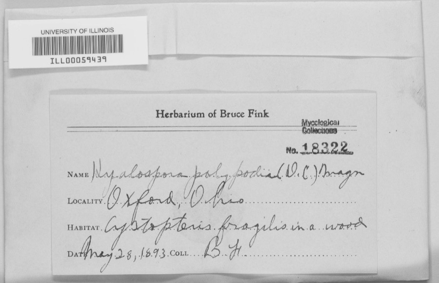
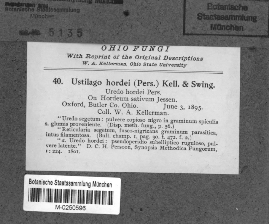
evidence. Museums hold 1,868 specimens
collected within 10 miles of Kumler, Elias, House between 1888 and
1975: 820 Animalia, 770 Fungi, 204 Plantae, 60 Protozoa, 13 Unrecorded, 1 Chromista. 12 distinct Species records are shown.
Collected by ?, A. V. J.; W. G. S., A.L.; Bucholtz, I. and others. Each is a
physical object with a catalogue
number, and each entry opens the museum's record. This is what was
collected and kept, not a survey of what lives here - nothing can be
concluded from a species being absent.
Regional context, not property-specific
evidence. The federal mineral resources record lists
1 working within 5 miles of Kumler, Elias, House: 1 plant.
All of them still produce. What was taken out: Sand and Gravel, Construction. Distance is straight-line from the
map coordinates, so a quarry counted here may appear on a neighbouring
settlement's page as well.
Regional context, not property-specific
evidence. The National Weather Service names
Oxford, the town this property stands in, in 42 storm reports between 1994 and 2024: 25 thunderstorm wind, 15 hail, 1 flash flood, 1 flood.
No death or injury is recorded in these reports. Each account below is quoted exactly as the forecast office
filed it, from the NOAA Storm Events Database, and each date
opens the federal record of that event.
One half mile of power poles were knocked down along State Route 732. Three trees up to 12 in diameter were snapped along Reily-Millville Road. A greenhouse was blown over on US Route 27 in Hanover Township.
No historic map-sheet match is published
for this property yet. That does not mean no map exists. This record needs
a coordinate-quality review before it can be joined to a sheet boundary.
Browse the county's mapped places while that work is
pending.
From the nomination file
1,289 words on record
When this property was proposed for the
National Register, someone wrote the case for it: what the building is,
and why it matters. That document is a federal record in the public domain.
It is quoted below word for word, never summarised. The text was read off the scanned case file by machine, so the
occasional stray character is the recogniser's and the 1970s
typewriter's.
Description of the property
double hung sashes, flat sandstone lintels and projecting sandstone lug sills. history of the Kumler House. However, interior changes include the addition of a room at the rear of the house. CONDITION space. EXCELLENT RUINS DETERIORATED walls. FAIR XUNALTERED A one-story frame later addition attached to the rear provides extra living whose most distinguishing featuresare the steeply inclined gable roofs.Simplified wooden decorative features grace the peaks and eaves of these roof surfaces.Each to the second floor.Low pediments with entablature cornice top door frames.
Interior features include a large foyer with an open stairway rising in two sections Cornice molding edge the ceilings, and massive baseboards frame the interior CHECK ONE A deeply recessed trabeated doorway placed to the right punctuates the flatness Exterior walls and decorative elements have not been altered during the l23 year The Kumler House is a large rectalinear brick building of one and a half stories a fireplace in the living room and moving the kitchen from a central interior to XGOOD - UNEXPOSED of the gable peaks sports a finial and drip pendant. Finials at each of the lower AREAS OF
Statement of significance
Railway, a road from Hamilton, Ohio to Connersville, Indiana.
Seminary in Walnut Hills, Cincinnati, donated his cornfield and gave a generous 1600-1699 ART ARCHEOLOGY-HISTORIC SCIENCE LAW ENGINEERING CONSERVATION EDUCATION PERIOD BUILDER/ARCHITECT AGRICULTURE TRANSPORTATION EXPLORATION/SETTLEMENT XARCHITECTURE X1800-1899 THEATER SCULPTURE LITERATURE ARCHEOLOGY-PREHISTORIC INDUSTRY SIGNIFICANCE MILITARY PREHISTORIC MUSIC _COMMUNICATIONS _POLITICS/GOVERNMENT Ohio community.It is distinguished by bold straight lines articulated in four SOCIAL/HUMANITARIAN liquor business in New Orleans.A great contributor to early area educational In 1868,Ebenezer Lane bought the Kumler House.Lane was connected with the exterior brick walls between the first and second story level.It produces a The Kumler House, constructed in 1856, was built as a residence for Elias Kumler, riverboat trade, the wholesale dry good business in Cincinnati, and the wholesale and is the finest example of Gothic Revival architecture in this small southwestern house elegantly refined in structure and detail although not as elaborate as The house fell upon hard times when used as rental property for college students.
For the most of its long history, the Kumler House has been occupied by notable examples of this style found elsewhere in the state. 1979.Rodbro will use the house for student roomers. _PHILOSOPHY -1500-1599 _RELIGION Frank Cone, an Oxford business man who served for three years in the Civil War, bought Condemned as a health hazard by the City of Oxford in 1975,it was rescued and -1400-1499 - 1700-1799 -1900- Butler County families. Elias Kumler was Oxford's first banker, a merchant and institutions, he gave a large sum of money to establish the endowment for Lane INVENTION demolished 1978),and gave support to Western Female Seminary (Western College). endowment fund to Oxford Female College Hall in National Register, the Kumler House in 1888,and lived there for nearly 40years.
Quoted from the National Register nomination
for reference 80002948, 11 pages, held by the National Archives in Record
Group 79. See the
catalogue record.
Listed places nearby
6 within 8 miles
Other National Register properties close
enough to walk or drive between, ordered by distance from this one. Both
positions come from the same geocoding pass that matched these properties
to their map sheets.
Listing record. National Park Service National Register of Historic Places, listed-properties dataset, current to 2026-05-22.
Map join. Address geocoded through the United States Census geocoder, then tested against the published boundary of every sheet in the USGS Historical Topographic Map Collection.
How this page is made. Listing fields come from federal records; map-sheet coverage is a labelled coordinate-to-boundary calculation, not a source-field claim.
Specimens. Global Biodiversity Information Facility (GBIF), https://www.gbif.org/. Only records licensed CC0 or CC BY are used. Records licensed CC BY-NC are excluded because this site carries advertising. Images are checked individually and any whose licence is non-commercial, no-derivatives or unreadable is refused.
Mines and quarries. USGS Mineral Resources Data System (MRDS) https://mrdata.usgs.gov/mrds/ A work of the United States government, no copyright under 17 U.S.C. 105.
Storms. NOAA National Centers for Environmental Information, Storm Events Database https://www.ncei.noaa.gov/stormevents/ A work of the United States government, no copyright under 17 U.S.C. 105. Narratives are quoted verbatim from the National Weather Service report and are not edited or summarised.
 Block
Block