Listed on the National Register of Historic Places in
1980. A historic map-sheet match is not published yet. The record needs a coordinate-quality review before it can be joined to a sheet boundary.
From the record
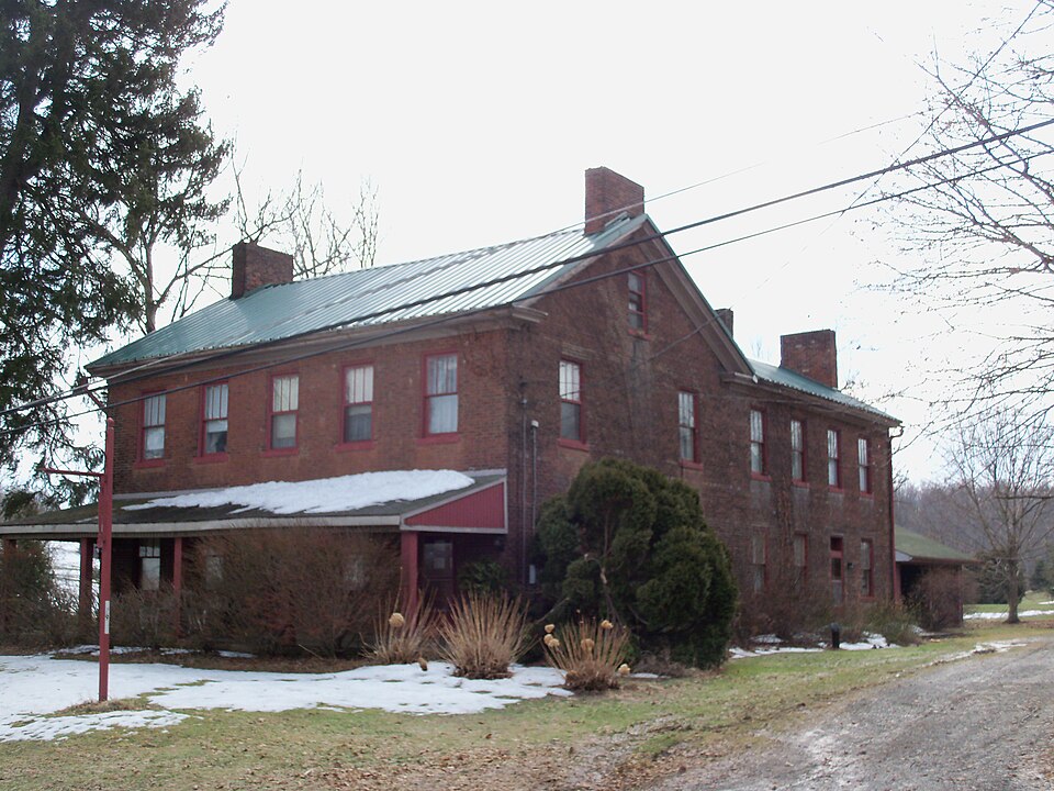
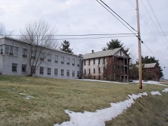
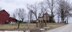
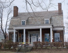
“The Hostetter Inn is a historic lodging facility located outside the village of Lisbon, Ohio, United States. Constructed in the early 1830s, it has been designated a historic site.”
Wikipedia article Hostetter Inn, CC BY-SA 4.0.
one of 35 National Register listings in Columbiana County · listed in 1980 · category: Building · one of 1 National Historic Landmarks in Columbiana County.
National Register reference number.80002965- the number the National Park Service assigned this property when it was listed, and the key its nomination file is catalogued under at the National Archives.
The ground it stands on
613 words
The chapter on Hanover Township in History of Columbiana County, Ohio, published 1879 names Lisbon. This is what it says, exactly as the scans read.
Dr. James Robertson, son of Rev. James Robertson, was born near the estate of the duke of Argyle, Scotland, in the year I860. He studied medicine with Dr. McCan, and began his professional life in Hanover in 1823. Four years later lie married Anna Eliza Scott, of New Lisbon, by whom he had three sons and four daughters, all living.
Regional context, not property-specific
evidence. The
federal wildfire occurrence database
lists 8 fires within 5 miles of Hostetter Inn between
2003 and 2007, burning about 91 acres in total. None started naturally. None was recorded as arson.
Distance is straight-line from the map coordinates, so a fire counted
here may appear on a neighbouring settlement's page as well.
Reported cause
Fires
Debris and open burning
6
Missing data/not specified/undetermined
2
The most recent of
them, most recent first, with the day each was reported and the service
that recorded it.
Regional context, not property-specific
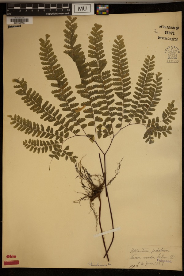
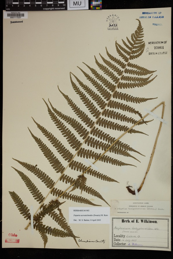
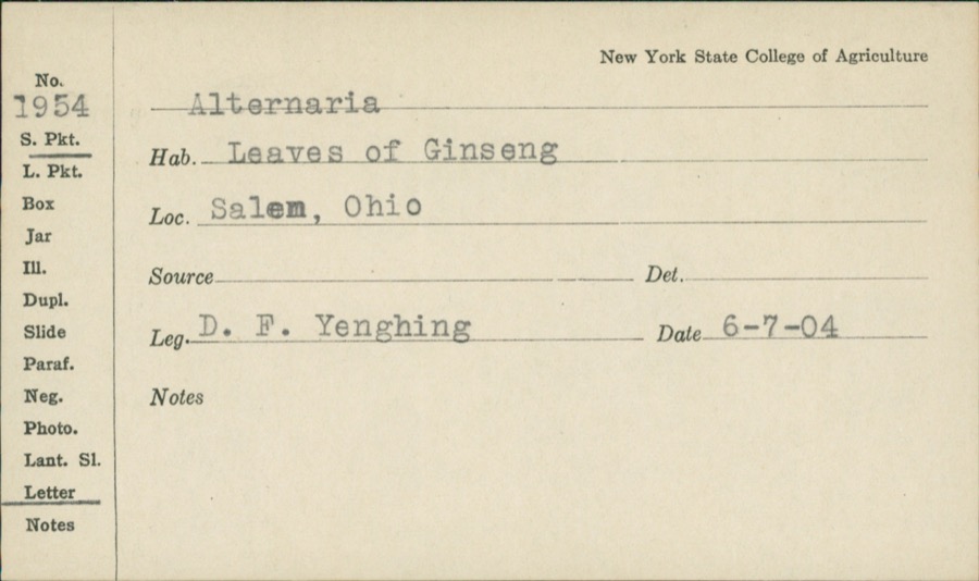
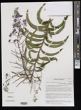
evidence. Museums hold 519 specimens
collected within 10 miles of Hostetter Inn between 1878 and
1975: 252 Animalia, 233 Plantae, 33 Fungi, 1 Unrecorded. 12 distinct Species records are shown.
Collected by ?, Adler, K. K., Andreas, B.; Cusick, A.W. and others. Each is a
physical object with a catalogue
number, and each entry opens the museum's record. This is what was
collected and kept, not a survey of what lives here - nothing can be
concluded from a species being absent.
Regional context, not property-specific
evidence. The National Weather Service names
Lisbon, the town this property stands in, in 61 storm reports between 1993 and 2025: 36 thunderstorm wind, 19 hail, 4 flash flood, 1 tornado.
No death or injury is recorded in these reports. Each account below is quoted exactly as the forecast office
filed it, from the NOAA Storm Events Database, and each date
opens the federal record of that event.
A microburst with winds estimated at around 80 MPH produced damage across the Lisbon area. The microburst produced a path of sporadic wind damage about 1.5 miles in length. The width varied from about 100 feet near the start of the track to nearly 100 yards at the end. The path of the microburst was directed west to east across Ohio SR 30/45 approximately 3.5 miles southeast of Lisbon. One house sustained some structural damage near the roof and second story balcony. A mobile home was lifted from its foundation and several smaller sheds and out-buildings on the property were also damaged or destroyed. In addition, numerous trees and power lines were downed by the microburst winds.
A brief tornado (F0) touched down briefly near the intersection of Routes 45 and 517 on the northwest side of Lisbon. The tornado was approximated 15 yards wide and was on the ground for about a tenth of a mile. The only associated damage was a few downed trees and three pieces of aluminum siding ripped from the side of a nearby home.
No historic map-sheet match is published
for this property yet. That does not mean no map exists. This record needs
a coordinate-quality review before it can be joined to a sheet boundary.
Browse the county's mapped places while that work is
pending.
From the nomination file
1,683 words on record
When this property was proposed for the
National Register, someone wrote the case for it: what the building is,
and why it matters. That document is a federal record in the public domain.
It is quoted below word for word, never summarised. The text was read off the scanned case file by machine, so the
occasional stray character is the recogniser's and the 1970s
typewriter's.
Description of the property
side of State Route 172. It is a 2 story L-shaped brick building constructed on a At the rear of the lower story is the kitchen. The mantel, bake oven door, and crane remain on the fireplace, although the bricks have recently been painted red. The - good attic. Very broad chimneys rise from each end wall and there is a smaller single deteriorated pilasters and central ovoid moldings.Several are also flanked by built-in cupboards.
the original woodwork, including the open balustrade and newel post of the stairs, The Hostetter Inn is immediately south of the Guilford Lake State Reserve on the south A low two car garage was added to the rear in recent years.It is covered with aluminum elevation of the rear wing, facing the interior of the L.It has unadorned square been highlighted by painting the recess of each panel white.This painting scheme symmetrically placed windows have been replaced with 3/1 sash.A small cornice board bays and has a central entrance with multi-light transom.The original sash of the Areas of Significance-Check and justify below _ archeology-prehistoric - community planning _ archeology-historic .
conservation _ science _ economics - sculpture _ social/ .music - exploration/settlement - philosophy - politics/government _transportation _ invention _ other (specify) Specific dates which with the exception of several small exterior changes, remains virtually as (See Lisbon Historic District, NR, 8/24/79). The canal route passed through the land, laid out a town, and sold building lots through an auction in 1835, according west of Gillford also served as an attraction to the community. A number of roadside commerce, and the county history identified the inn built in 1832 for Daniel Hostetter consequence of the depression in 1837 in which all work was actually halted on its in 1854.
(in one paragraph) military literature in 1828 and the initiation of construction in 1834 of the Sandy and Beaver Canal - agriculture .landscape architecture _ religion x architecture competition, droughts, and other administrative problems so that it ceased operation today Guilford, as it is now known, exists as little more than a quiet rural crossroads vision of Daniel's widow, Rachel.
It remained in the Hostetter family into the 20th taverns were constructed in the area to take advantage of the increased travel and 1600-1699 Period art ovoid molding; diminutive wooden moldings around the built-in cupboards and door nearby Guilford and Hanover Township.The organization of a private canal company century.In recent years the area around Guilford has become a resort oriented around the canal,Edward H.Gill.The construction f major reservoir for the canal just it was built in l832.It is therefore important for its interior detailing: the as "the most popular and successful" of these enterprises.
Quoted from the National Register nomination
for reference 80002965, 12 pages, held by the National Archives in Record
Group 79. See the
catalogue record.
Listed places nearby
6 within 8 miles
Other National Register properties close
enough to walk or drive between, ordered by distance from this one. Both
positions come from the same geocoding pass that matched these properties
to their map sheets.
Listing record. National Park Service National Register of Historic Places, listed-properties dataset, current to 2026-05-22.
Map join. Address geocoded through the United States Census geocoder, then tested against the published boundary of every sheet in the USGS Historical Topographic Map Collection.
How this page is made. Listing fields come from federal records; map-sheet coverage is a labelled coordinate-to-boundary calculation, not a source-field claim.
Wildfire. Short, Karen C. 2022. Spatial wildfire occurrence data for the United States, 1992-2020 [FPA_FOD_20221014]. 6th Edition. Fort Collins, CO: Forest Service Research Data Archive. https://doi.org/10.2737/RDS-2013-0009.6 Collected with United States Government funding and usable without additional permissions or fees.
Specimens. Global Biodiversity Information Facility (GBIF), https://www.gbif.org/. Only records licensed CC0 or CC BY are used. Records licensed CC BY-NC are excluded because this site carries advertising. Images are checked individually and any whose licence is non-commercial, no-derivatives or unreadable is refused.
Storms. NOAA National Centers for Environmental Information, Storm Events Database https://www.ncei.noaa.gov/stormevents/ A work of the United States government, no copyright under 17 U.S.C. 105. Narratives are quoted verbatim from the National Weather Service report and are not edited or summarised.
 Block
Block