Listed on the National Register of Historic Places in
1980. A historic map-sheet match is not published yet. The record needs a coordinate-quality review before it can be joined to a sheet boundary.
From the record
one of 13 National Register listings in Holmes County · listed in 1980 · category: Building.
National Register reference number.80003104- the number the National Park Service assigned this property when it was listed, and the key its nomination file is catalogued under at the National Archives.
Fires near this property
10 since 2005
Regional context, not property-specific
evidence. The
federal wildfire occurrence database
lists 10 fires within 5 miles of Wise, Peter, House between
2005 and 2020, burning about 5 acres in total. None started naturally. None was recorded as arson.
Distance is straight-line from the map coordinates, so a fire counted
here may appear on a neighbouring settlement's page as well.
Reported cause
Fires
Debris and open burning
7
Power generation/transmission/distribution
1
Smoking
1
Equipment and vehicle use
1
The most recent of
them, most recent first, with the day each was reported and the service
that recorded it.
Regional context, not property-specific
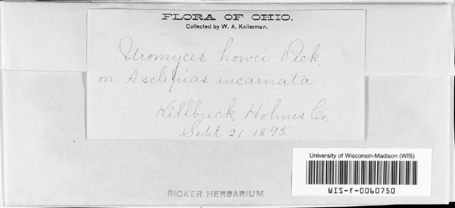
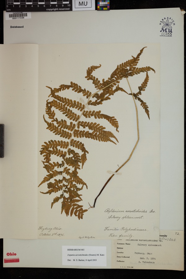
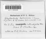
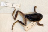
evidence. Museums hold 207 specimens
collected within 10 miles of Wise, Peter, House between 1890 and
1974: 165 Animalia, 36 Plantae, 6 Fungi. 12 distinct Species records are shown.
Collected by A. D. Selby, A. P. Morgan, Alleshonse? O. C. and others. Each is a
physical object with a catalogue
number, and each entry opens the museum's record. This is what was
collected and kept, not a survey of what lives here - nothing can be
concluded from a species being absent.
Regional context, not property-specific
evidence. The federal mineral resources record lists
4 workings within 5 miles of Wise, Peter, House: 4 past producers.
None of them still produces. What was taken out: Clay, Sand and Gravel, Construction. Distance is straight-line from the
map coordinates, so a quarry counted here may appear on a neighbouring
settlement's page as well.
Regional context, not property-specific
evidence. The National Weather Service names
Berlin, the town this property stands in, in 17 storm reports between 1998 and 2026: 9 thunderstorm wind, 4 hail, 3 flash flood, 1 tornado.
No death or injury is recorded in these reports. Each account below is quoted exactly as the forecast office
filed it, from the NOAA Storm Events Database, and each date
opens the federal record of that event.
An EF1 tornado touched down two miles northwest of Berlin around 2:40 pm EDT. The tornado then moved southeast to Walnut Creek and eventually moved into Tuscarawas County near Sugar Creek. This tornado did not appear to be in contact with the ground the entire length of the damage path. The damage path in Holmes County was nearly nine miles in length and up to 100 yards in width. Damage occurred to around a dozen homes and buildings along the damage path. Most of the damage was from lost roofing or siding. A camper trailer was blown over and a garage was also knocked off of it's foundation. Some large signs were torn off of the roof of a business located east of Berlin. The signs landed in a nearby parking lot and damaged at least eight cars. Dozens of trees and at least two utility poles were knocked down along the damage path.
Heavy rainfall moved into Holmes County between 700 and 800 pm on the evening of the 26th. A line of thunderstorms over Wayne County moved south into Holmes County where there was a cell merger. This cause a brief period of storm back building and training over north central Holmes County. During this period the rainfall rates were estimated around 5 inches per hour. The storm motions were from north to south, paralleling the extent of the Killbuck Creek river basin starting in the headwaters. This confined the majority of the runoff to that single basin. The result was flash flooding in several areas across Holmes County. One home in Monroe and Prairie Township was flooded on County Road 320 from Paint Creek. Prairie Township Fire Department rescued people from a car in high water. One unofficial rainfall report of 3.00 came from Berlin in eastern Holmes County. An official reading in Holmesville of 2.72 was measured between 7 pm and 8 pm.
A line of thunderstorms oriented north to south from Wayne through Coshocton County Ohio brought heavy rainfall to Holmes County between 345 pm and 530 pm. The heaviest rain fell between 400 pm and 445 pm with rates measured over 3 per hour. Doughty Creek located near Mechanic Township in eastern Holmes County saw flash flooding. The creek, normally a dry bed, caused damage to a truck parked in the area. Also impacted were two campgrounds located along the creek off of township road 154.
Law enforcement reported water was across SR-39 near Berlin with about 3 feet of water in the parking lot of the Amish country flea market. Public reported high water along SR 241 near the Holmes-Wayne county line. At 1030 PM Doughty Creek out of its banks at TR-356 and TR-375 south of Berlin. Measured rainfall observations of 3.96 near Berlin between 7:50 PM and 10:00 PM, mostly between 7:55 PM and 9:20 PM.
No historic map-sheet match is published
for this property yet. That does not mean no map exists. This record needs
a coordinate-quality review before it can be joined to a sheet boundary.
Browse the county's mapped places while that work is
pending.
From the nomination file
1,359 words on record
When this property was proposed for the
National Register, someone wrote the case for it: what the building is,
and why it matters. That document is a federal record in the public domain.
It is quoted below word for word, never summarised. The text was read off the scanned case file by machine, so the
occasional stray character is the recogniser's and the 1970s
typewriter's.
Description of the property
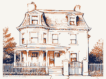
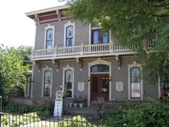
upon a sandstone foundation and is rectangular in shape with front and rear porches. by four round tapered Tuscan columns, with bases and capitals. A baluster railing en- secured by massive wood beams directly into the house structure. The exterior is detailed entablature which extends around all four sides of the house. On either side with nine over six glazing. Of special interest is the main entrance, which has side and top lites, plus intricate Greek Revival detailing. The main entrance leads into a central hallway nine feet wide which contains cooking fireplace and an outside entrance, reflecting its original use as a summer in one of the bedrooms where bright contrasting colors can be found. This house was originally part of a complex of buildings owned by Peter Wise.
A variety of outbuildings once surrounded the house, but today only a springhouse, the exception of the small springhouse, no other structures are nearby. About five Presently the Wise House is vacant. Its exterior has been stabilized and restor- the front porch has been extensively restored. Plans are for this house to become a Condition museum. large barn.
ruins dating from the early twentieth century, remains.Across the street was a mill complex, are large triangular pediments covered with flush siding.The windows are rectangular Check one kitchen.Of special interest is the presence of the original interior color scheme - unexposed large room was planned for use during religious services.The basement has a large .deteriorated _unaltered The rear porch is small, located in the center of the facade and is a later nineteenth closes the front porch. The front porch is an original feature of the house as it is covered by clapboard siding and is accented by four corner pilasters and a massive fully open stairway.
(in one paragraph) members of the Brethern church used houses as places of worship. The good condition of the house, which has sustained few alterations, makes it one of Holmes! County's finest by the inclusion of the Peter Wise House in a national publication on early American Peter Wise was one of Berlin Township's earliest settlers, arriving here from was later established across the road from this house which Peter Wise and his family operated until his death in 1901. Only the foundation stones and the dam abutments survive from this complex.
Peter Wise hadnine children and was one of the co-founders of the Wise School, 1500-1599 transportation conservation 1700-1799 communications 1600-1699 economics 1400-1499 education theater Builder/Architect humanitarian Period engineering architecture science invention agriculture prehistoric literature Specific dates 1900- Presidency in 1928. other (specify) - commerce _music -art _ landscape architecture . religion - philosophy _ industry Wise House is a fine example of Greek Revival architecture. It has unusually fine The presence of the large meeting room on the second floor is a unique feature. Originally, located just north of this house. His daughter, Lizzie Wise, married Dr. Peter Pomerene. Their son, Atlee Pomerene became a U.S. Senator and was a major contender for the U.S.
detailing and the presence of an original front porch is quite rare in this region. 1841 farmhouses. archeology-prehistoric exploration/settlement The significance of this house stems primarily from its architecture.The Peter --communityplanning 9.
Quoted from the National Register nomination
for reference 80003104, 8 pages, held by the National Archives in Record
Group 79. See the
catalogue record.
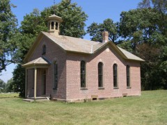
Listed places nearby
6 within 8 miles
Other National Register properties close
enough to walk or drive between, ordered by distance from this one. Both
positions come from the same geocoding pass that matched these properties
to their map sheets.
Listing record. National Park Service National Register of Historic Places, listed-properties dataset, current to 2026-05-22.
Map join. Address geocoded through the United States Census geocoder, then tested against the published boundary of every sheet in the USGS Historical Topographic Map Collection.
How this page is made. Listing fields come from federal records; map-sheet coverage is a labelled coordinate-to-boundary calculation, not a source-field claim.
Wildfire. Short, Karen C. 2022. Spatial wildfire occurrence data for the United States, 1992-2020 [FPA_FOD_20221014]. 6th Edition. Fort Collins, CO: Forest Service Research Data Archive. https://doi.org/10.2737/RDS-2013-0009.6 Collected with United States Government funding and usable without additional permissions or fees.
Specimens. Global Biodiversity Information Facility (GBIF), https://www.gbif.org/. Only records licensed CC0 or CC BY are used. Records licensed CC BY-NC are excluded because this site carries advertising. Images are checked individually and any whose licence is non-commercial, no-derivatives or unreadable is refused.
Mines and quarries. USGS Mineral Resources Data System (MRDS) https://mrdata.usgs.gov/mrds/ A work of the United States government, no copyright under 17 U.S.C. 105.
Storms. NOAA National Centers for Environmental Information, Storm Events Database https://www.ncei.noaa.gov/stormevents/ A work of the United States government, no copyright under 17 U.S.C. 105. Narratives are quoted verbatim from the National Weather Service report and are not edited or summarised.
 Block
Block