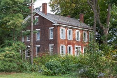
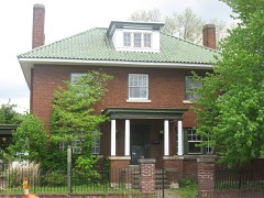
Listed on the National Register of Historic Places in
1980. A historic map-sheet match is not published yet. The record needs a coordinate-quality review before it can be joined to a sheet boundary.
From the record
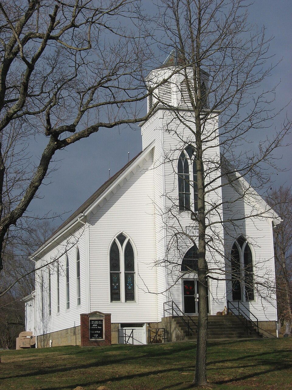
“John's Evangelical Lutheran Church is a historic church in Stovertown, Ohio.”
Wikipedia article St. John's Evangelical Lutheran Church (Stovertown, Ohio), CC BY-SA 4.0.
one of 70 National Register listings in Muskingum County · listed in 1980 · category: Building.
National Register reference number.80003189- the number the National Park Service assigned this property when it was listed, and the key its nomination file is catalogued under at the National Archives.
The first sawmill was built by Samuel Stover, who built a dam across Brush creek, and thus found water power to propel his mill, in 1813. He added a gristmill, in 1819. In 1827 and 1829, new mills were built, on the old foundations, on the site afterwards occupied b}' John E. McCoy's tannery, in Stovertown.
Lutheran Church. - The Rev. William Foster, an Evangelical Lutheran clergyman, visited from house to house in Brush Creek township, from 1812 to 1818, holding rehgious services. . These visitations and services were conducted during 1818 by Rev. Andrew Hinkle and his brother, Charles. In 1819, Rev. Andrew Hinkle, assisted by Rev. Lewis Shite, organized a circuit, consisting of four or more congregations ; one near Deavertown, in Morgan county, known as the Jerusalem Church ; one in Brush Creek township, denominated St. John's Evangelical Church ; one in Roseville, and one in Fultonham, the latter three being in Muskingum county. In 1819, the Church of St. John erected a church, two miles ;south of the village of Stovertown. The spot where this primitive log church stood is now marked by a graveyard, where many of the pioneers have been laid. The first person buried there was Miss Phebe J. Swingle, daughter of -George Swingle, who died early in the year 181 2. She was identified with the church while jet in Chambersburg, Pennsylvania, and died triumphant in the faith. There was no Lutheran minister in this region at that time, and Rev. John Goshen, of Putnam, Muskingum county, a minister of the Metlu)dist Episcopal Church, conducted the funeral services. The next pastor was Rev. Samuel Kammerer, who began his ministerial work in 1820. and continued to serve them for sixteen years.
Regional context, not property-specific
evidence. The
federal wildfire occurrence database
lists 21 fires within 5 miles of St. John's Evangelical Lutheran Church between
2013 and 2020, burning about 39 acres in total. None started naturally. 2 were recorded as arson.
Distance is straight-line from the map coordinates, so a fire counted
here may appear on a neighbouring settlement's page as well.
Reported cause
Fires
Debris and open burning
14
Missing data/not specified/undetermined
3
Arson/incendiarism
2
Recreation and ceremony
1
Smoking
1
The most recent of
them, most recent first, with the day each was reported and the service
that recorded it.
Regional context, not property-specific
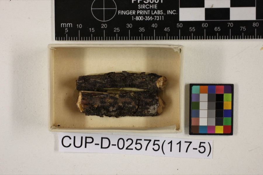
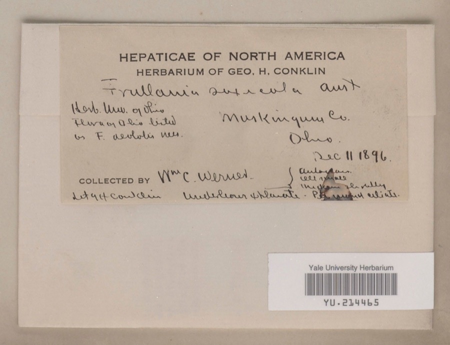
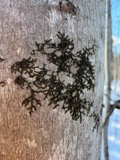
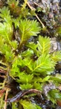
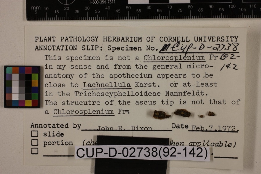
evidence. Museums hold 676 specimens
collected within 10 miles of St. John's Evangelical Lutheran Church between 1873 and
1973: 617 Animalia, 37 Plantae, 12 Fungi, 5 Protozoa, 4 Unrecorded, 1 Chromista. 12 distinct Species records are shown.
Collected by A.E. Miller, Adams, W. M., Adams, William and others. Each is a
physical object with a catalogue
number, and each entry opens the museum's record. This is what was
collected and kept, not a survey of what lives here - nothing can be
concluded from a species being absent.
Regional context, not property-specific
evidence. The federal mineral resources record lists
2 workings within 5 miles of St. John's Evangelical Lutheran Church: 2 producers.
All of them still produce. What was taken out: Sand and Gravel, Construction, Iron. Distance is straight-line from the
map coordinates, so a quarry counted here may appear on a neighbouring
settlement's page as well.
Regional context, not property-specific
evidence. The National Weather Service names
Stovertown, the town this property stands in, in 3 storm reports between 2012 and 2023: 1 hail, 1 flood, 1 thunderstorm wind.
No death or injury is recorded in these reports. Each account below is quoted exactly as the forecast office
filed it, from the NOAA Storm Events Database, and each date
opens the federal record of that event.
Multiple reports of flooding across Muskingum and Coshocton County. Near Zanesville, Joes Run stream was out of its banks and a car was stuck along Adams Circle. A few roads were closed near creeks/streams. Flooding was reported in yards in southern Coshocton County. A trained spotter near the city of Coshocton reported 3.31 inches of rain in less than 24 hours.
No historic map-sheet match is published
for this property yet. That does not mean no map exists. This record needs
a coordinate-quality review before it can be joined to a sheet boundary.
Browse the county's mapped places while that work is
pending.
From the nomination file
2,314 words on record
When this property was proposed for the
National Register, someone wrote the case for it: what the building is,
and why it matters. That document is a federal record in the public domain.
It is quoted below word for word, never summarised. The text was read off the scanned case file by machine, so the
occasional stray character is the recogniser's and the 1970s
typewriter's.
Statement of significance
of Brush Creek Township, Muskingum County, for more than a century--a role undiminished St. John's congregation dates its existence from the arrival of the first settlers in the township in 1810.
Most of these early families were German Lutherans, bearing names such as Swingle (descendents of the reformer Zwilgli), Baughman, Stover, and Pletche were conducted by William Foster, a circuit-riding preacher, but it was not until 1819 that a church building, a hewn log structure, was erected on the farm of John George church was built jointly by the Presbyterians and the Lutherans near the site of the present edifice, and was used until 1851 when the Lutherans alone purchased a lot beside completion of the present church, the older church was dismantled and moved to Philo, a community located about two miles to the east along the Muskingum River. Rev. Mr. Franklin Richards (1840-1904).
Richards was a native of northeastern Ohio who entered Connoquenessing Academy in Zelienople, Pennsylvania at the age of 18 and the new Lutheran seminary in Philadelphia and was a member of that institution's first graduating class in 1867. Between his ordination and his service at St. John's he served as pastor of Chicago's Trinity Church and was assistant editor of the Lutheran and Missionary, published in Philadelphia. He came to the Brush Creek-Zanesville churches In the spring of 1878, under the leadership of Frank Richards, an acre of ground ing of the pastor, Henry G. Swingle, Soloman Baughman, and G. W. Baughman. On May 26, years. 1700-1799 today.
ARCHEOLOGY-HISTORIC BUILDER/ARCHITECT SCULPTURE COMMERCE 1900- PERIOD ART THEATER EXPLORATION/SETTLEMENT AGRICULTURE SIGNIFICANCE MILITARY XARCHITECTURE MUSIC PHILOSOPHY.
Quoted from the National Register nomination
for reference 80003189, 16 pages, held by the National Archives in Record
Group 79. See the
catalogue record.
Listed places nearby
6 within 8 miles
Other National Register properties close
enough to walk or drive between, ordered by distance from this one. Both
positions come from the same geocoding pass that matched these properties
to their map sheets.
Listing record. National Park Service National Register of Historic Places, listed-properties dataset, current to 2026-05-22.
Map join. Address geocoded through the United States Census geocoder, then tested against the published boundary of every sheet in the USGS Historical Topographic Map Collection.
How this page is made. Listing fields come from federal records; map-sheet coverage is a labelled coordinate-to-boundary calculation, not a source-field claim.
Wildfire. Short, Karen C. 2022. Spatial wildfire occurrence data for the United States, 1992-2020 [FPA_FOD_20221014]. 6th Edition. Fort Collins, CO: Forest Service Research Data Archive. https://doi.org/10.2737/RDS-2013-0009.6 Collected with United States Government funding and usable without additional permissions or fees.
Specimens. Global Biodiversity Information Facility (GBIF), https://www.gbif.org/. Only records licensed CC0 or CC BY are used. Records licensed CC BY-NC are excluded because this site carries advertising. Images are checked individually and any whose licence is non-commercial, no-derivatives or unreadable is refused.
Mines and quarries. USGS Mineral Resources Data System (MRDS) https://mrdata.usgs.gov/mrds/ A work of the United States government, no copyright under 17 U.S.C. 105.
Storms. NOAA National Centers for Environmental Information, Storm Events Database https://www.ncei.noaa.gov/stormevents/ A work of the United States government, no copyright under 17 U.S.C. 105. Narratives are quoted verbatim from the National Weather Service report and are not edited or summarised.
 Block
Block