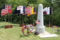
Listed on the National Register of Historic Places in
1980. A historic map-sheet match is not published yet. The record needs a coordinate-quality review before it can be joined to a sheet boundary.
From the record
“- The surface of the township is level and the soil remarkably fertile. The increase of population has been gradual.”
Past and Present of Wyandot County Ohio (1913). Machine-read text.
one of 8 National Register listings in Wyandot County · listed in 1980 · category: Building.
National Register reference number.80003249- the number the National Park Service assigned this property when it was listed, and the key its nomination file is catalogued under at the National Archives.
The ground it stands on
218 words
The chapter on Crane Township in Past and Present of Wyandot County Ohio, published 1913 names Upper Sandusky. This is what it says, exactly as the scans read.
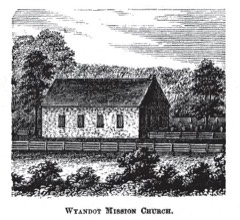
- The surface of the township is level and the soil remarkably fertile. The increase of population has been gradual. Among its points of interest which are shown to strangers are the Old Mission church, the Nine Oaks, Crawford's battle ground, on Section 17, just north of Upper Sandusky,
Regional context, not property-specific
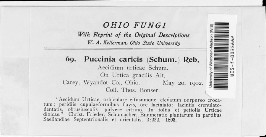
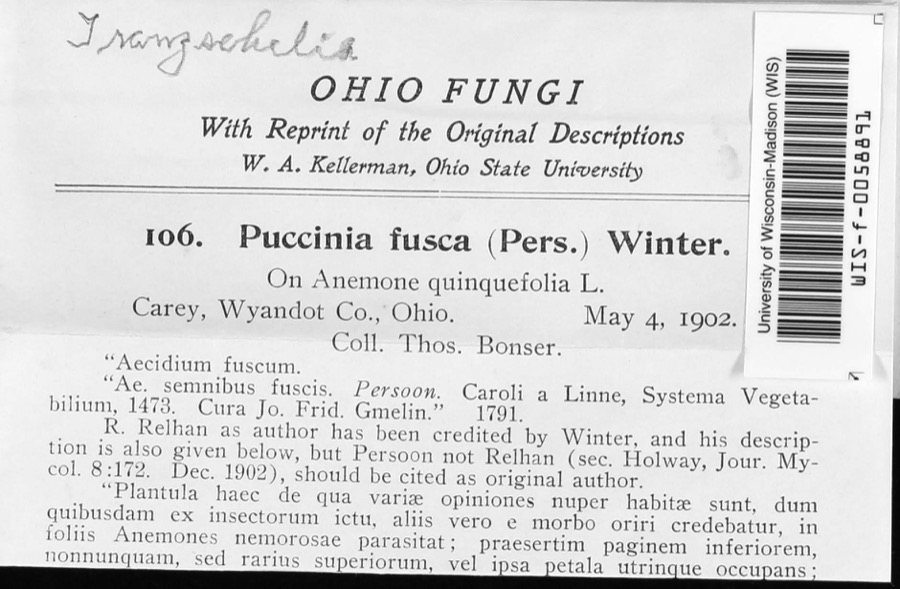
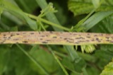
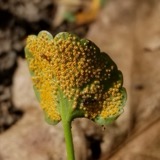
evidence. Museums hold 261 specimens
collected within 10 miles of Walker, William, Jr., House between 1885 and
1975: 243 Animalia, 15 Fungi, 3 Plantae. 12 distinct Species records are shown.
Collected by Acker, G., Allen, J. M., Blyth & Katz and others. Each is a
physical object with a catalogue
number, and each entry opens the museum's record. This is what was
collected and kept, not a survey of what lives here - nothing can be
concluded from a species being absent.
Regional context, not property-specific
evidence. The federal mineral resources record lists
6 workings within 5 miles of Walker, William, Jr., House: 3 producers, 3 past producers.
3 still produce. What was taken out: Sand and Gravel, Construction, Stone, Crushed/Broken, Clay. Distance is straight-line from the
map coordinates, so a quarry counted here may appear on a neighbouring
settlement's page as well.
Regional context, not property-specific
evidence. The National Weather Service names
Upper Sandusky, the town this property stands in, in 61 storm reports between 1993 and 2026: 39 thunderstorm wind, 17 hail, 3 flash flood, 1 funnel cloud.
The reports record 1 death. Each account below is quoted exactly as the forecast office
filed it, from the NOAA Storm Events Database, and each date
opens the federal record of that event.
Heavy rains on July 12th through the 14th caused Tymochtee Creek to go into flood in western Wyandot County. State Route 53 was flooded by up to 6 feet of water approximately four miles west of Upper Sandusky near the intersection of Township Road 103. A 46 male apparently drove his truck into the flood waters around 2 am on July 14th. The man was later found deceased about 200 feet north of the highway. His truck was found completely submerged in the flood waters.
Thunderstorms produced a swath of large hail across the Upper Sandusky area. Some of the hail was as large as baseballs. Hundreds of vehicles and dozens of homes were damaged by this hail.
Severe thunderstorms moved across Wyandot County during the afternoon hours of June 22nd and produced wind gusts estimated to be around 70 mph. Many trees and large limbs were downed across the county. Utility poles and lines were also reported down at several locations. Many reports came from the Upper Sandusky area where several buildings sustained roof and siding damage. Three semi trucks were blown over on U.S. 23 in Upper Sandusky.
Thunderstorm downburst winds damaged a farm nine miles west of Upper Sandusky. Two barn buildings were heavily damaged. A house nearby sustained roof damage. A large tree on the property was also toppled.
Thunderstorm winds downed two trees and several large tree limbs. One of the trees landed on a house and caused minor structural damage. Fallen tree limbs also damaged two cars.
Heavy rain fell causing several feet of water to cover roadways throughout the area. State Route 53 west of Upper Sandusky was reported as being washed out during the early morning hours of the 6th.
Law enforcement officials spotted a funnel cloud two miles northwest of Upper Sandusky moving southeast at approximately 15 mph. The funnel persisted for several minutes but did not ever come in contact with the ground.
3 papers published in this town,
digitised by the Library of Congress and free to read: 0 issues,
0 pages. Every page is searchable, so a name or a street can be
looked for directly in what the town printed about itself at the time.
No historic map-sheet match is published
for this property yet. That does not mean no map exists. This record needs
a coordinate-quality review before it can be joined to a sheet boundary.
Browse the county's mapped places while that work is
pending.
From the nomination file
1,899 words on record
When this property was proposed for the
National Register, someone wrote the case for it: what the building is,
and why it matters. That document is a federal record in the public domain.
It is quoted below word for word, never summarised. The text was read off the scanned case file by machine, so the
occasional stray character is the recogniser's and the 1970s
typewriter's.
Description of the property
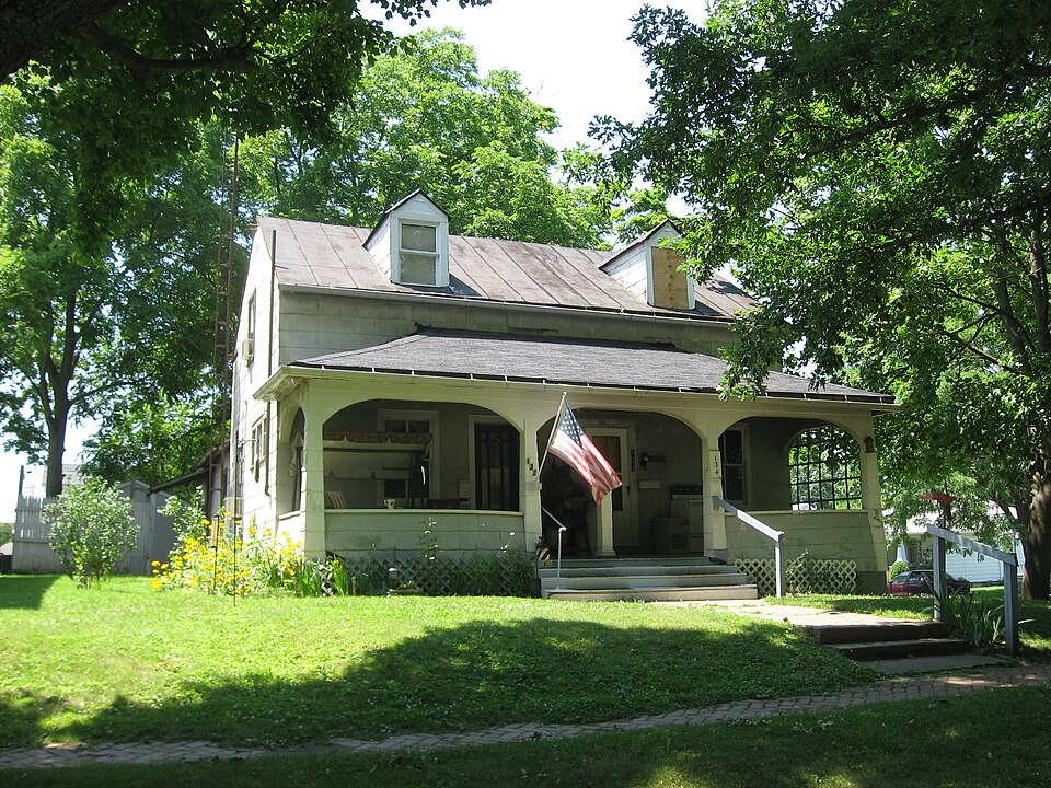
has been divided into two sections because the house is now a duplex. and shed roof. The only outbuilding is a small square wood frame garage with a hipped roof and a shed east side has.2/2 windows on the:first:floor,and the south.side has 1/1 windows on the It has 1/1 windows on the 1st floor west side,6/6 on the 2nd floor west side and 6/6 on the _ ruins This is a Is-story wood brace frame construction building with asbestos shingle siding side has 4/4 windows on the second floor and 2/2 on the first floor on the east side. The The I-story porch across the east side has the shingle siding and a hipped roof. It date Walker House: foundation.Its roof extends down over a spacious front porch, with dormer windows above.
There is a separate 2-story gable-roofed section on the rear that may be an addition. The soft brick foundation has been covered for protection.T valuable today.Its historic connection makes it an exceptionally interesting relic. The windows are primarily double-hung much as it was.Being the home of one of the best known and most highly respected men of monument to the memory of a historic Indian village... that is an alteration.T is a gable metal roof with a brick chimney at the north end.There is a full basement. says that"Walker's house was built in 1823-1830;l stories 8.
Statement of significance
(in one paragraph) left Ohio on July 12,1843,the last tribe to leave the state.After arriving in Kansas, the part of Kansas where the Wyandotts had settled. X_1800-1899 sons became prominent in the Wyandott tribe in Ohio and Kansas. helped opened the northwest to settlement.Walker left Upper Sandusky in 1843 with the Areas of Significance-Check and justify below -agriculture Built between 1825 and 1830,this house is significant for its connection to - architecture telling of the plight of the"poor Indians"led scores of missionaries to come west and - archeology-prehistoric - community planning landscape architecture X religion - archeology-historic X exploration/settlement. became postmaster of Upper Sandusky.
Walker was a Wyandott chief, recorded tribal history & wa may be the oldest house in the city, since Upper Sandusky, itself, was not platted until Johnson. Walker died in 1824, leaving three sons, Matthew, Joel, and William, Jr. All the Connelley. As governor, Walker gave many records of tribal history to his friend C.L. William Walker, Jr., a quadroon Wyandott Indian. Walker taught at the Wyandott Mission and director of the Wyandott Mission School in Upper Sandusky, operated the first store in Upper Sandusky was platted; the original plat includes Walker Street and makes reference was also private secretary for General Lewis Cass from the end of the War of 1812 to the 1400-1499 philosophy art Draper; these are preserved in the Draper Collection at the University of Wisconsin.
Walker the village, and was Upper Sandusky's first postmaster.He built this house sometime between helping open the old northwest for settlement.Walker's diary has been published by William Wyandotts, the last tribe to leave Ohio.He later became first governor of the Nebraska Territory in 1853.This house was also the first frame.residence in Upper 9.
Quoted from the National Register nomination
for reference 80003249, 10 pages, held by the National Archives in Record
Group 79. See the
catalogue record.
Listed places nearby
6 within 8 miles
Other National Register properties close
enough to walk or drive between, ordered by distance from this one. Both
positions come from the same geocoding pass that matched these properties
to their map sheets.
Listing record. National Park Service National Register of Historic Places, listed-properties dataset, current to 2026-05-22.
Map join. Address geocoded through the United States Census geocoder, then tested against the published boundary of every sheet in the USGS Historical Topographic Map Collection.
How this page is made. Listing fields come from federal records; map-sheet coverage is a labelled coordinate-to-boundary calculation, not a source-field claim.
Specimens. Global Biodiversity Information Facility (GBIF), https://www.gbif.org/. Only records licensed CC0 or CC BY are used. Records licensed CC BY-NC are excluded because this site carries advertising. Images are checked individually and any whose licence is non-commercial, no-derivatives or unreadable is refused.
Mines and quarries. USGS Mineral Resources Data System (MRDS) https://mrdata.usgs.gov/mrds/ A work of the United States government, no copyright under 17 U.S.C. 105.
Storms. NOAA National Centers for Environmental Information, Storm Events Database https://www.ncei.noaa.gov/stormevents/ A work of the United States government, no copyright under 17 U.S.C. 105. Narratives are quoted verbatim from the National Weather Service report and are not edited or summarised.
 Block
Block