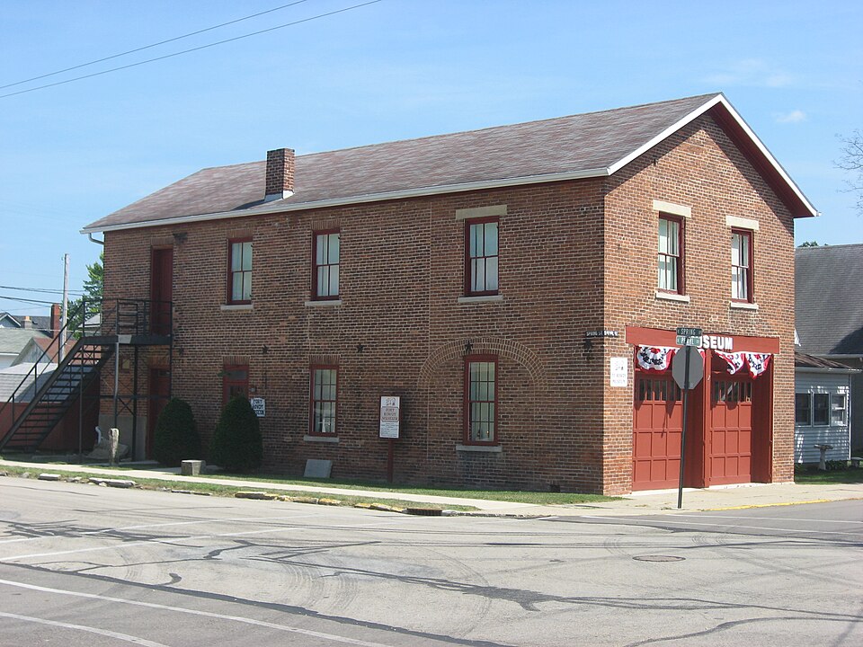
Listed on the National Register of Historic Places in
1981. A historic map-sheet match is not published yet. The record needs a coordinate-quality review before it can be joined to a sheet boundary.
From the record
one of 36 National Register listings in Miami County · listed in 1981 · category: Building.
National Register reference number.81000447- the number the National Park Service assigned this property when it was listed, and the key its nomination file is catalogued under at the National Archives.
T. S. MoGINNIS, liveryman, Covington. Mr. McGinnis was a native of Ohio, bom in Champaign Co. in 1845 ; his parents removed to Shelby Co. the year of his birth, and he there grew to manhood ; was married to Miss Bell Woodard and resided there, being occupied in fuming ; reoently he moved to Covington, where he is now engaged in the livery business in connection with Mr. J . B. Hamilton, whose biography also appears in thiw work ; Mr. McGinnis comes of pioneer stock, his ancestors on both sides being Virginians and early emigrants to Kentucky ; his great-grandfather was scalped by the Indians in his own dooryard, near Maysville, Ky. ; his grandfather removed from Kentucky to Champaign Co., Ohio, m 1812, and served in the army during the war ; Mr. McGinnis is now. in the pn®6 of life, and is an active, energetic man, just embarking in a new business venture, in which there seems to be a good prospect of succ""°
Stillwater River enters Miami County near the northwest corner of this township, and, after pursuing a southeast direction, it suddenly turns northeast, then, forming a curve, it runs nearly south, past Covington, and passes out of the township about two miles west of the southeast corner. Near the center of the township, it cuts a channel through the limestone, at the southern terminus of which were, in early days (called) the Falls of Stillwater, descending about twelve feet in a mile. The banks of the river are bold and high. Limestone bluffs, skirting either bank afford excellent quarries of stone, which also makes good lime.
Regional context, not property-specific
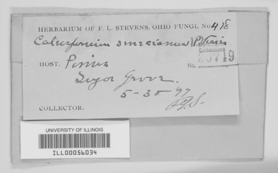
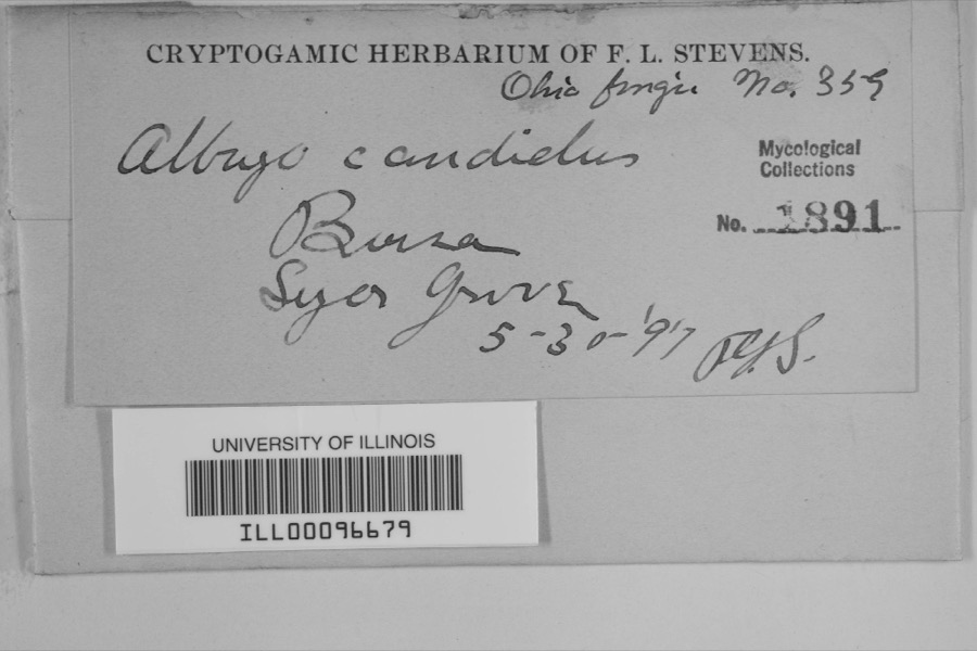
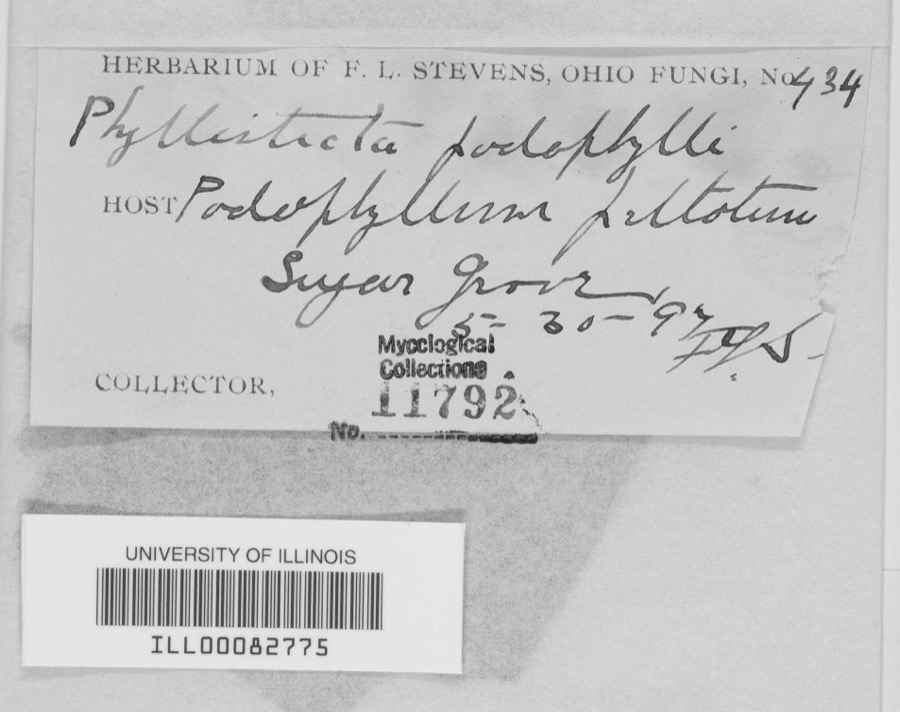
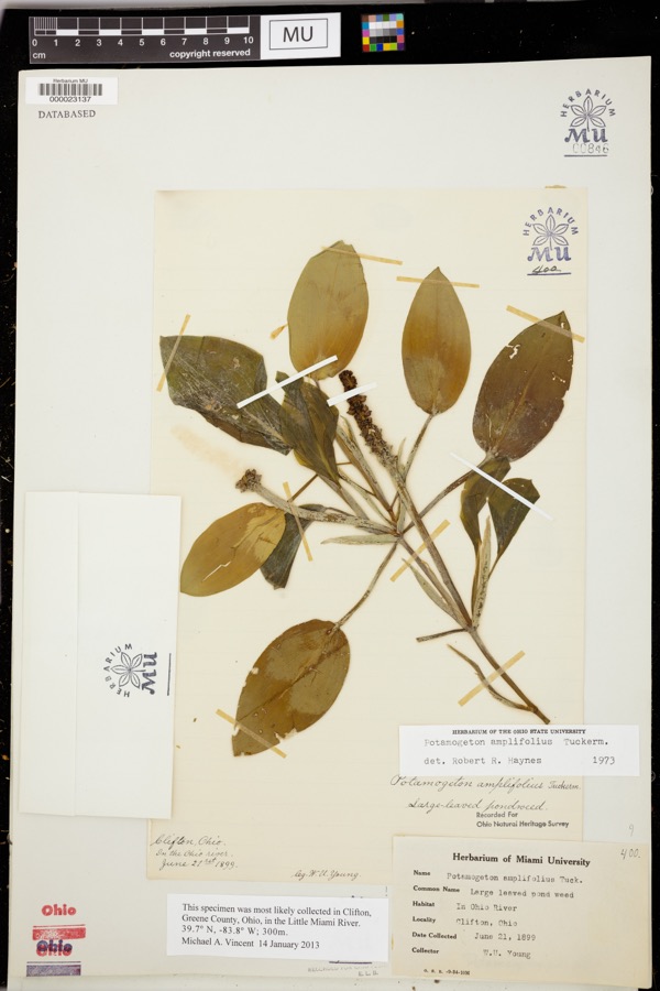
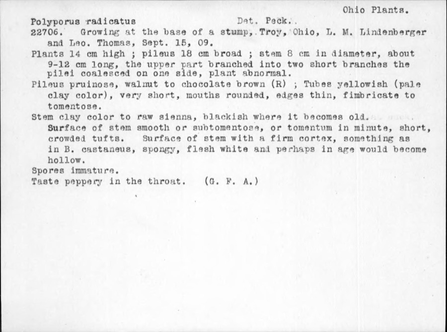
evidence. Museums hold 343 specimens
collected within 10 miles of Covington Historic Government Building between 1835 and
1973: 312 Animalia, 16 Plantae, 13 Fungi, 1 Unrecorded, 1 Chromista. 12 distinct Species records are shown.
Collected by A V DEL, A. Gaufin, A. R. Gaufin and others. Each is a
physical object with a catalogue
number, and each entry opens the museum's record. This is what was
collected and kept, not a survey of what lives here - nothing can be
concluded from a species being absent.
Regional context, not property-specific
evidence. The federal mineral resources record lists
3 workings within 5 miles of Covington Historic Government Building: 2 producers, 1 past producer.
2 still produce. What was taken out: Sand and Gravel, Construction, Stone, Crushed/Broken, Sand and Gravel, Construction. Distance is straight-line from the
map coordinates, so a quarry counted here may appear on a neighbouring
settlement's page as well.
Regional context, not property-specific
evidence. The National Weather Service names
Covington, the town this property stands in, in 26 storm reports between 1996 and 2025: 11 thunderstorm wind, 8 hail, 5 flood, 1 lightning.
No death or injury is recorded in these reports. Each account below is quoted exactly as the forecast office
filed it, from the NOAA Storm Events Database, and each date
opens the federal record of that event.
No historic map-sheet match is published
for this property yet. That does not mean no map exists. This record needs
a coordinate-quality review before it can be joined to a sheet boundary.
Browse the county's mapped places while that work is
pending.
From the nomination file
2,788 words on record
When this property was proposed for the
National Register, someone wrote the case for it: what the building is,
and why it matters. That document is a federal record in the public domain.
It is quoted below word for word, never summarised. The text was read off the scanned case file by machine, so the
occasional stray character is the recogniser's and the 1970s
typewriter's.
Description of the property
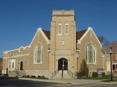
lintels for the original swinging doors are still in the frame. the ground floor 6/6. The town center is one block removed. 7. Description Condition date unexposed moved excellent ruins deteriorated station. fair unaltered stone lintels and sills on the second range. door and window. shaped tie rod ends. afifteen foot addition of 1880,with two lifting garage-type door Convington's Historic Government Building, commonly called the "old street corner. the first fire wagon. in the old part. on the west (Pearl Street) into the long axis. The sec Areas of Significance-Check and justify below community planning landscape architecture 1800-1899 exploration settlement - philosophy X politics government other (specity) Statement of
Statement of significance
(in one paragraph) as a town museum. The Village Council is awaiting the decision or the National Register to decide the building's fate. 1600-1699 commerce economics communications 1400-1499 conservation 1500-1599 education architecture industry engineering archeology-prehistoric 8. Significance science religion invention archeology-historic art transportation agriculture Period prehistoric literature humanitarian social music 1700-1799 sculpture The Specific dates fire department facility. Builder Architect military law 1900- significant reminder of The Town Council aquired the building in government services to the conmunity 9.
Quoted from the National Register nomination
for reference 81000447, 23 pages, held by the National Archives in Record
Group 79. See the
catalogue record.
Listed places nearby
6 within 8 miles
Other National Register properties close
enough to walk or drive between, ordered by distance from this one. Both
positions come from the same geocoding pass that matched these properties
to their map sheets.
Listing record. National Park Service National Register of Historic Places, listed-properties dataset, current to 2026-05-22.
Map join. Address geocoded through the United States Census geocoder, then tested against the published boundary of every sheet in the USGS Historical Topographic Map Collection.
How this page is made. Listing fields come from federal records; map-sheet coverage is a labelled coordinate-to-boundary calculation, not a source-field claim.
Specimens. Global Biodiversity Information Facility (GBIF), https://www.gbif.org/. Only records licensed CC0 or CC BY are used. Records licensed CC BY-NC are excluded because this site carries advertising. Images are checked individually and any whose licence is non-commercial, no-derivatives or unreadable is refused.
Mines and quarries. USGS Mineral Resources Data System (MRDS) https://mrdata.usgs.gov/mrds/ A work of the United States government, no copyright under 17 U.S.C. 105.
Storms. NOAA National Centers for Environmental Information, Storm Events Database https://www.ncei.noaa.gov/stormevents/ A work of the United States government, no copyright under 17 U.S.C. 105. Narratives are quoted verbatim from the National Weather Service report and are not edited or summarised.
 Block
Block