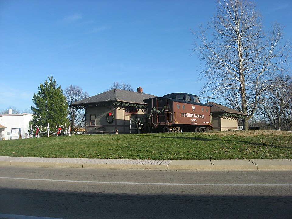
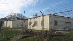
Listed on the National Register of Historic Places in
1981. A historic map-sheet match is not published yet. The record needs a coordinate-quality review before it can be joined to a sheet boundary.
From the record
one of 117 National Register listings in Montgomery County · listed in 1981 · category: Building · one of 4 National Historic Landmarks in Montgomery County.
National Register reference number.81000448- the number the National Park Service assigned this property when it was listed, and the key its nomination file is catalogued under at the National Archives.
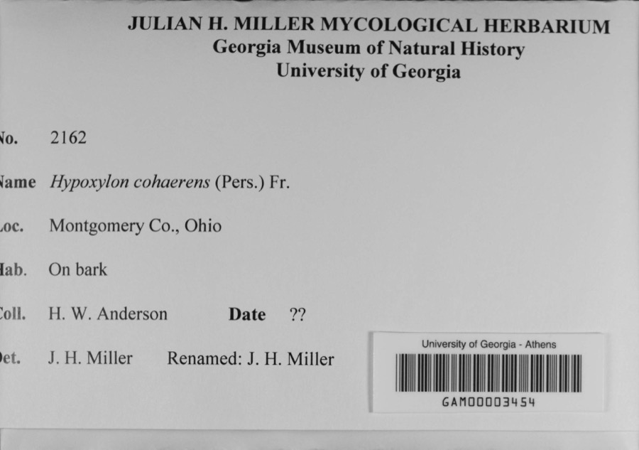
Specimens collected near this property
12 of 1,039 shown
Regional context, not property-specific
evidence. Museums hold 1,039 specimens
collected within 10 miles of Trotwood Railroad Station and Depot between 1835 and
1975: 889 Animalia, 83 Plantae, 59 Fungi, 4 Unrecorded, 3 Protozoa, 1 Chromista. 12 distinct Species records are shown.
Collected by A. E. Foeerste, A. E. Foerste, A. F. Foerste and others. Each is a
physical object with a catalogue
number, and each entry opens the museum's record. This is what was
collected and kept, not a survey of what lives here - nothing can be
concluded from a species being absent.
Regional context, not property-specific
evidence. The federal mineral resources record lists
4 workings within 5 miles of Trotwood Railroad Station and Depot: 2 past producers, 1 plant, 1 producer.
2 still produce. What was taken out: Sand and Gravel, Construction, Limestone, General, Stone, Crushed/Broken. Distance is straight-line from the
map coordinates, so a quarry counted here may appear on a neighbouring
settlement's page as well.
Regional context, not property-specific
evidence. The National Weather Service names
Trotwood, the town this property stands in, in 17 storm reports between 1994 and 2025: 11 thunderstorm wind, 5 hail, 1 flash flood.
The reports record 2 injuries. Each account below is quoted exactly as the forecast office
filed it, from the NOAA Storm Events Database, and each date
opens the federal record of that event.
No historic map-sheet match is published
for this property yet. That does not mean no map exists. This record needs
a coordinate-quality review before it can be joined to a sheet boundary.
Browse the county's mapped places while that work is
pending.
From the nomination file
2,685 words on record
When this property was proposed for the
National Register, someone wrote the case for it: what the building is,
and why it matters. That document is a federal record in the public domain.
It is quoted below word for word, never summarised. The text was read off the scanned case file by machine, so the
occasional stray character is the recogniser's and the 1970s
typewriter's.
Description of the property
three elongated 2/2 double hung sash windows grouped from the center of Each door is trimmed and divided in half by a wide board and sided with colored slate roof low central brick Areas of SignificanceCheck and justify below - science .economics - sculpture - social/ .theater X 1900- - other (specify) Statement of
Statement of significance
(in one paragraph) The TROTWOOD RAILROAD STATION/DEPOT is historically significant as the last vestige of the importance and impact of the railroad on the community of Trotwood. The advent of the railroad through Madison Township in 1854, the existence of an old Indian trail, which roughly followed Wolf bank are believed to be the major factors for the formation of ever, it has been acquired by the city of Trotwood with 1700-1799 1800-1899 commerce 1500-1599 architecture archeology-historic education industry Builder/Architect engineering 1600-1699 humanitarian Period conservation literature music 1400-1499 law invention military 8.
Significance After operating as a station up until the mid-twentieth century, The TROTWOOD RAILROAD STATION/DEPOT represents very well the local triangular plot of land at the southwest corner of the intersection. - - communications The first railroad station was in abox car on a siding in the the building is now boarded up and used as a storage shed.How- - - agriculture until the TROTWOOD RAILROAD STATION was built in 1913. - prehistoric - archeology-prehistoric community planning landscape architecture - religion .exploration/settlement X transportation c. 1913 of activity for the surrounding countryside. Then Higging Station was built just west of the railroad. was a point where the train stopped for the engines to take on philosophy politics/government art Society.
Specific dates water from a pond that filled the spot.This station was used historical role that the railroad played in the creation of Trotwood. plans for it becoming the center of the Trotwood Historical Creek to Brookville, and the grist mill situated on the creek 9.
Quoted from the National Register nomination
for reference 81000448, 22 pages, held by the National Archives in Record
Group 79. See the
catalogue record.
Listed places nearby
6 within 8 miles
Other National Register properties close
enough to walk or drive between, ordered by distance from this one. Both
positions come from the same geocoding pass that matched these properties
to their map sheets.
Listing record. National Park Service National Register of Historic Places, listed-properties dataset, current to 2026-05-22.
Map join. Address geocoded through the United States Census geocoder, then tested against the published boundary of every sheet in the USGS Historical Topographic Map Collection.
How this page is made. Listing fields come from federal records; map-sheet coverage is a labelled coordinate-to-boundary calculation, not a source-field claim.
Specimens. Global Biodiversity Information Facility (GBIF), https://www.gbif.org/. Only records licensed CC0 or CC BY are used. Records licensed CC BY-NC are excluded because this site carries advertising. Images are checked individually and any whose licence is non-commercial, no-derivatives or unreadable is refused.
Mines and quarries. USGS Mineral Resources Data System (MRDS) https://mrdata.usgs.gov/mrds/ A work of the United States government, no copyright under 17 U.S.C. 105.
Storms. NOAA National Centers for Environmental Information, Storm Events Database https://www.ncei.noaa.gov/stormevents/ A work of the United States government, no copyright under 17 U.S.C. 105. Narratives are quoted verbatim from the National Weather Service report and are not edited or summarised.
 Block
Block