 Block
BlockFrom the record
one of 117 National Register listings in Montgomery County · listed in 2023 · category: Building · one of 4 National Historic Landmarks in Montgomery County.
Sources: the National Register database, National Park Service

Listed on the National Register of Historic Places in 2023. A historic map-sheet match is not published yet. The record needs a coordinate-quality review before it can be joined to a sheet boundary.
one of 117 National Register listings in Montgomery County · listed in 2023 · category: Building · one of 4 National Historic Landmarks in Montgomery County.
Sources: the National Register database, National Park Service
Regional context, not property-specific evidence. Museums hold 957 specimens collected within 10 miles of Sears, Roebuck and Company between 1835 and 1975: 803 Animalia, 87 Plantae, 59 Fungi, 4 Unrecorded, 3 Protozoa, 1 Chromista. 12 distinct Species records are shown. Collected by A. E. Foeerste, A. E. Foerste, A. F. Foerste and others. Each is a physical object with a catalogue number, and each entry opens the museum's record. This is what was collected and kept, not a survey of what lives here - nothing can be concluded from a species being absent.
| Image | Species | Year | Collected by | Where, as recorded |
|---|---|---|---|---|
 | Ambrosia artemisiifolia L. | 1881 | Foerste AF | |
 | Geaster limbatus Fr. | 1883 | A. E. Foeerste | Dayton |
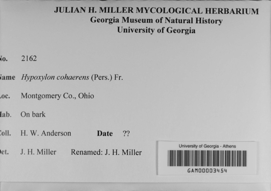 | Hypoxylon cohaerens (Pers.) Fr. | 1897 | H. W. Anderson | |
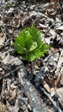 | Botrypus virginianus (L.) Michx. | 1835 | Joseph C. Frank | Ohio, Miami [County] |
 | Platanthera leucophaea (Nutt.) Lindl. | 1836 | C. W. Short | Dayton |
 | Erythronium americanum Ker Gawl. | 1837 | van Cleve, John W. | 3 mi. north of Dayton |
 | Hydrophyllum macrophyllum Nutt. | 1838 | J. W. Van Cleve | Dayton |
 | Allium canadense L. | 1839 | not recorded | Dayton. 1 mi. northeast. |
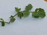 | Cardamine L. | 1839 | Sanders, Alfred; J.J. Nagel, J.G. Haupt. | Dayton. 1 mile east. |
 | Cassia marilandica L. | 1839 | Sanders, Alfred | Dayton |
 | Cynoglossum officinale L. | 1839 | not recorded | Dayton. Suburbs E. |
 | Iris versicolor L. | 1839 | not recorded | Dayton. 2 mi. south |
All 957 specimens within 10 miles, at the Global Biodiversity Information Facility.
Regional context, not property-specific evidence. The federal mineral resources record lists 5 workings within 5 miles of Sears, Roebuck and Company: 2 past producers, 2 plants, 1 producer. 3 still produce. What was taken out: Sand and Gravel, Construction, Limestone, General, Stone, Crushed/Broken. Distance is straight-line from the map coordinates, so a quarry counted here may appear on a neighbouring settlement's page as well.
| Where | Site | Commodity | Status | Recorded |
|---|---|---|---|---|
| Olive Road Limestone Plant | Stone, Crushed/Broken | Plant | ||
| Olive Road Quarry | Limestone, General | Past Producer | Sedimentary | |
| Haas Sand and Gravel Pit | Sand and Gravel, Construction | Past Producer | ||
| Tipp Stone Pit | Sand and Gravel, Construction | Producer | ||
| Tipp Stone Plant No 2 & Pit | Sand and Gravel, Construction | Plant |
Regional context, not property-specific evidence. The National Weather Service names Trotwood, the town this property stands in, in 17 storm reports between 1994 and 2025: 11 thunderstorm wind, 5 hail, 1 flash flood. The reports record 2 injuries. Each account below is quoted exactly as the forecast office filed it, from the NOAA Storm Events Database, and each date opens the federal record of that event.
| When | Event | Place named | Harm | What the report says |
|---|---|---|---|---|
| June 2015 | Thunderstorm Wind | Trotwood | 2 hurt, $7,500 | A large tree was knocked down into a house. |
| June 2022 | Thunderstorm Wind | Trotwood | $40,000 | Numerous large trees were downed. Several cars were damaged by the trees. |
| June 2005 | Thunderstorm Wind | Trotwood | $8,000 | Several six- to eight-inch diameter trees were downed. |
| March 2020 | Flash Flood | Trotwood | $5,000 | Several rescues were made in waist high water on North Snyder Road. |
| May 2008 | Thunderstorm Wind | Trotwood | $5,000 | Trees and powerlines were downed. |
| June 1994 | Thunderstorm Wind | Trotwood | $5,000 | Trees were downed, some on power lines. |
| July 2025 | Thunderstorm Wind | Trotwood | $4,000 | Multiple trees were downed along Wolf Creek. |
| May 2006 | Thunderstorm Wind | Trotwood | $3,000 | Trees and power lines were downed. |
| July 2003 | Thunderstorm Wind | Trotwood | $3,000 | A few trees and limbs were knocked down. |
| July 2011 | Thunderstorm Wind | Trotwood | $1,000 | Large tree limbs were reported down due to damaging thunderstorm winds. |
| June 2000 | Thunderstorm Wind | Trotwood | $1,000 | Trees were split and knocked down in Butler Township. |
| June 2008 | Thunderstorm Wind | Trotwood | $1,000 | no account filed |
| June 2021 | Hail | Trotwood | - | no account filed |
| June 2011 | Hail | Trotwood | - | no account filed |
| January 2006 | Hail | Trotwood | - | no account filed |
| May 2006 | Hail | Trotwood | - | no account filed |
| June 1996 | Hail | Trotwood | - | no account filed |
No historic map-sheet match is published for this property yet. That does not mean no map exists. This record needs a coordinate-quality review before it can be joined to a sheet boundary. Browse the county's mapped places while that work is pending.
Other National Register properties close enough to walk or drive between, ordered by distance from this one. Both positions come from the same geocoding pass that matched these properties to their map sheets.
| Photograph | Property | Distance | Listed |
|---|---|---|---|
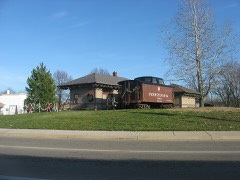 | Trotwood Railroad Station and Depot | 2.4 miles | 1981 |
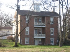 | Mumma, Jacob H. W., House | 2.8 miles | 1980 |
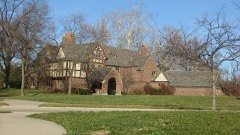 | Red Oak--Sherman, William C., House | 3.0 miles | 2000 |
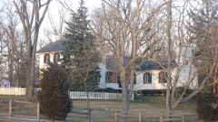 | Deerwood Farm | 3.4 miles | 1975 |
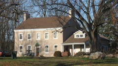 | Miller, Daniel, House | 4.1 miles | 1975 |
| Traxler Mansion | 4.8 miles | 1979 |
| National Archives record | The nomination case file for reference 100009303 in Record Group 79. |
| Montgomery County | All 117 listed properties in this county. |