Listed on the National Register of Historic Places in
1981. A historic map-sheet match is not published yet. The record needs a coordinate-quality review before it can be joined to a sheet boundary.
From the record
“Walpole Town Hall is a historic town hall building at 972 Main Street in Walpole, Massachusetts, USA. The two-story brick building was designed by J.”
Wikipedia article Walpole Town Hall, CC BY-SA 4.0.
one of 249 National Register listings in Norfolk County · listed in 1981 · category: Building · one of 2 National Historic Landmarks in Norfolk County.
National Register reference number.81000619- the number the National Park Service assigned this property when it was listed, and the key its nomination file is catalogued under at the National Archives.
Fires near this property
144 since 2007
Regional context, not property-specific
evidence. The
federal wildfire occurrence database
lists 144 fires within 5 miles of Walpole Town Hall between
2007 and 2020, burning about 51 acres in total. 1 started naturally. 2 were recorded as arson.
Distance is straight-line from the map coordinates, so a fire counted
here may appear on a neighbouring settlement's page as well.
Reported cause
Fires
Recreation and ceremony
50
Missing data/not specified/undetermined
42
Smoking
30
Debris and open burning
13
Equipment and vehicle use
3
Arson/incendiarism
2
Railroad operations and maintenance
2
Natural
1
Power generation/transmission/distribution
1
The most recent of
them, most recent first, with the day each was reported and the service
that recorded it.
Regional context, not property-specific
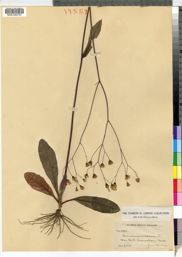
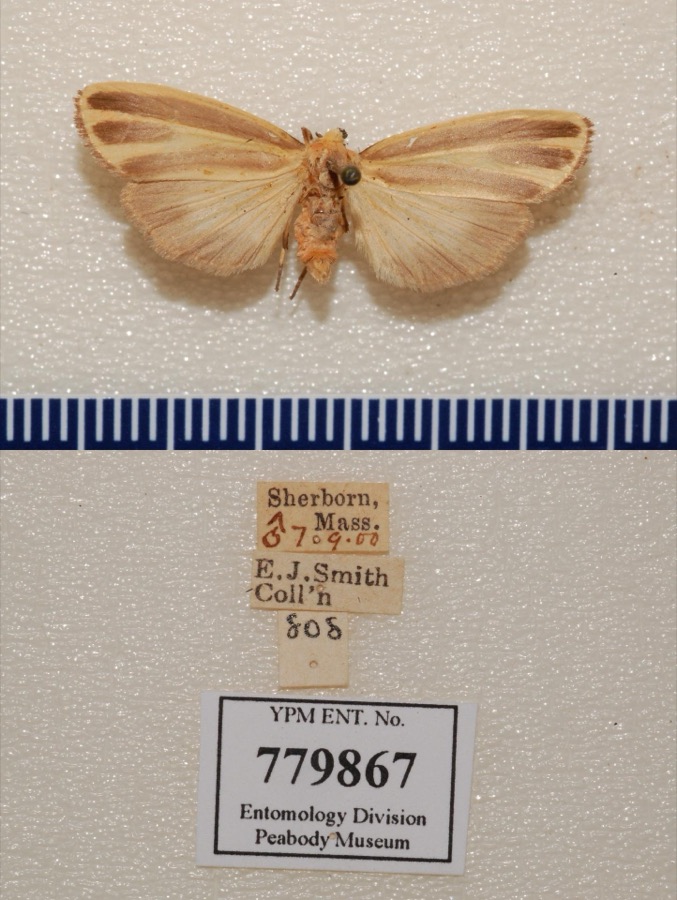
evidence. Museums hold 5,673 specimens
collected within 10 miles of Walpole Town Hall between 1846 and
1975: 2,618 Animalia, 1,542 Plantae, 1,330 Fungi, 132 Protozoa, 24 Chromista, 22 Unrecorded, 5 Bacteria. 12 distinct Species records are shown.
Collected by ?, A. A. Eaton, A. B. Seymour and others. Each is a
physical object with a catalogue
number, and each entry opens the museum's record. This is what was
collected and kept, not a survey of what lives here - nothing can be
concluded from a species being absent.
Regional context, not property-specific
evidence. The federal mineral resources record lists
21 workings within 5 miles of Walpole Town Hall: 12 past producers, 7 producers, 1 unknown, 1 occurrence.
7 still produce. What was taken out: Sand and Gravel, Construction, Granite, Iron, Stone. Distance is straight-line from the
map coordinates, so a quarry counted here may appear on a neighbouring
settlement's page as well.
Regional context, not property-specific
evidence. The National Weather Service names
Walpole, the town this property stands in, in 31 storm reports between 1997 and 2025: 15 thunderstorm wind, 6 flash flood, 4 hail, 3 flood.
No death or injury is recorded in these reports. Each account below is quoted exactly as the forecast office
filed it, from the NOAA Storm Events Database, and each date
opens the federal record of that event.
Lightning struck an eight unit condominium building setting fire to the attic. The fire engulfed the entire building, destroying the condos. One firefighter suffered from heat exhaustion while trying to extinguish the fire.
Numerous trees down throughout Walpole, including on School, Mason, Maple, Kendall, Alton, Rockwood, and Washington Streets. A tree fell on a house on Park Lane.
One to two feet of water closed the West Street Bridge in Walpole. Elm and East Streets also were closed due to flooding. In Norfolk, Valley Street and Route 1A were closed with 18 inches of water flowing over the roads. Five and a half inches of rain fell in Wrentham in less than three hours. The power plant was flooded forcing some evacuations. Common Street, Route 1A and Route 140 (North of Thurston Street) were all closed due to flooding. The park was under one foot of water.
No historic map-sheet match is published
for this property yet. That does not mean no map exists. This record needs
a coordinate-quality review before it can be joined to a sheet boundary.
Browse the county's mapped places while that work is
pending.
From the nomination file
2,337 words on record
When this property was proposed for the
National Register, someone wrote the case for it: what the building is,
and why it matters. That document is a federal record in the public domain.
It is quoted below word for word, never summarised. The text was read off the scanned case file by machine, so the
occasional stray character is the recogniser's and the 1970s
typewriter's.
Description of the property
Walpole Town Hall is a composite Victorian-style, brick structure sited on a slight rise at the intersection of Main and Stone Streets. The property contains approximately one-third acre of land in the midst of Walpole's cormercial district, just east of the original conmon. The ground plan of the building is a modified cruciform, with the largest wing at the rear, a perpendicular facade wing, and a 5-story tower centered on the front. The building rises from a granite base through two tall brick stories (three at the rear) to high hip roofs tiled with slate. The rectangular windows are typically paired, with square, glazed transoms and brownstone sills and lintels. A pattemed brick entablature ornaments the entire building, while decorative brick stringcourses articulate the front wing.
The symmetrical facade of the Town Hall is three bays across, with a 3-story frontispiece acting as the base for its center tower (rising to 70' above ground). Entrance is made through a one-story portico having paired Corinthian pilasters at the corners and a great brownstone arched opening leading to paired entry doors. This portico is crowned by a simple balustrade of vaguely classical design. The second and third floors of the tower -- separated by panelled brick spandrels -- each have a tripartite window with brownstone trim and glazed transoms. Rising above the main roofline are a fourth level with brick- enframed clock faces on three sides; a stylized cornice with patterned brickwork and bands of terracottarosettes; an open, wooden belfry; and a flaring steeple roof.
/Architect J. Williams Beal, Architect Statement of Significance (in one paragraph) J.W. Coburn, Builder Walpole Town Hall is a fine example of a late nineteenth century municipal building, and possesses integrity of location, design, materials, and setting. Town Hall is significant as the seat of town government and as the work of a regionally prominent architect, and thus meets criteria A and C of the National Register of Historic Places. Town Hall, constructed in 1880-81, was Walpole's first mmicipal structure-evidence of the civic pride generated by the steady prosperity of the town's paper and textile-support fact- ories. The building has served as the seat of town government since its construction, and until 1949 housed the District Court for Western Norfolk County.
Until the construction of a new Fire and Police Station in 1952, the Police Station and Lock-up were located in the base- ment of the Town Hall. The lot of land on which Town Hall was built was purchased from E.D. Clapp for $1800. The property may have potential as an archaeological site, as the Clapp Tavern stood on this site from about 1732 until it was demolished for construction of the Town Hall. The Building Conmittee for Town Hall included George Craig, a prominent local citizen of the day, and F.W. Bird, a local industrialist. J.
Williams Beal, an architect well known in the Boston area, was selected to design the building: Beal was a graduate of MIT Schoo1 of Architecture and had been employed in the offices of Richard Morris Hunt and McKim, Mead & White before establishing his own firm in Boston. J.
Quoted from the National Register nomination
for reference 81000619, 11 pages, held by the National Archives in Record
Group 79. See the
catalogue record.
Listed places nearby
6 within 8 miles
Other National Register properties close
enough to walk or drive between, ordered by distance from this one. Both
positions come from the same geocoding pass that matched these properties
to their map sheets.
Listing record. National Park Service National Register of Historic Places, listed-properties dataset, current to 2026-05-22.
Map join. Address geocoded through the United States Census geocoder, then tested against the published boundary of every sheet in the USGS Historical Topographic Map Collection.
How this page is made. Listing fields come from federal records; map-sheet coverage is a labelled coordinate-to-boundary calculation, not a source-field claim.
Wildfire. Short, Karen C. 2022. Spatial wildfire occurrence data for the United States, 1992-2020 [FPA_FOD_20221014]. 6th Edition. Fort Collins, CO: Forest Service Research Data Archive. https://doi.org/10.2737/RDS-2013-0009.6 Collected with United States Government funding and usable without additional permissions or fees.
Specimens. Global Biodiversity Information Facility (GBIF), https://www.gbif.org/. Only records licensed CC0 or CC BY are used. Records licensed CC BY-NC are excluded because this site carries advertising. Images are checked individually and any whose licence is non-commercial, no-derivatives or unreadable is refused.
Mines and quarries. USGS Mineral Resources Data System (MRDS) https://mrdata.usgs.gov/mrds/ A work of the United States government, no copyright under 17 U.S.C. 105.
Storms. NOAA National Centers for Environmental Information, Storm Events Database https://www.ncei.noaa.gov/stormevents/ A work of the United States government, no copyright under 17 U.S.C. 105. Narratives are quoted verbatim from the National Weather Service report and are not edited or summarised.
 Block
Block