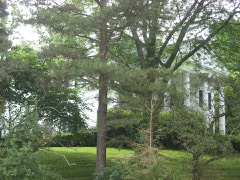
Listed on the National Register of Historic Places in
1982. A historic map-sheet match is not published yet. The record needs a coordinate-quality review before it can be joined to a sheet boundary.
From the record
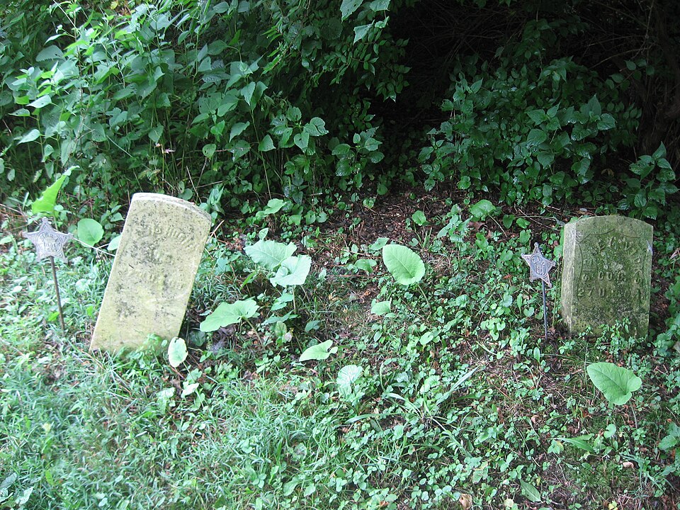
“The African Jackson Cemetery is a historic cemetery in the western part of the U.S. state of Ohio. Formed by a colony of more than 300 freedmen from Virginia, who were freed in the will of John Randolph of Roanoke, it has been the resting place for many.”
Wikipedia article African Jackson Cemetery, CC BY-SA 4.0.
one of 36 National Register listings in Miami County · listed in 1982 · category: Site.
National Register reference number.82001475- the number the National Park Service assigned this property when it was listed, and the key its nomination file is catalogued under at the National Archives.
Regional context, not property-specific
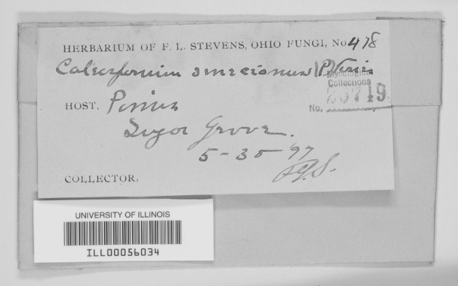
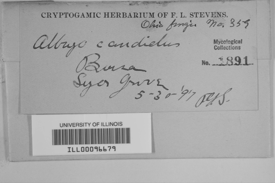
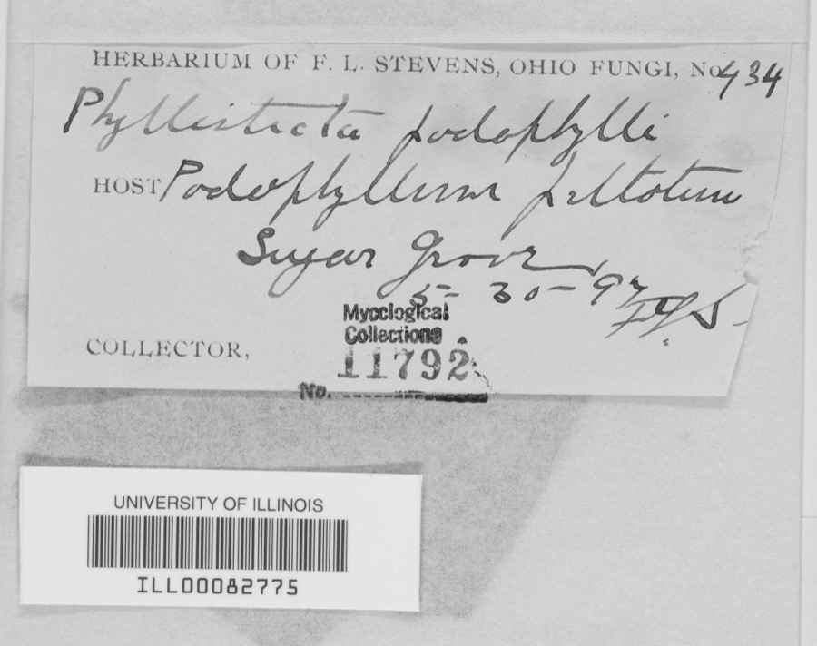
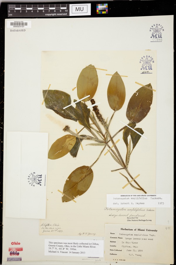
evidence. Museums hold 316 specimens
collected within 10 miles of African Jackson Cemetery between 1835 and
1973: 285 Animalia, 16 Plantae, 13 Fungi, 1 Unrecorded, 1 Chromista. 12 distinct Species records are shown.
Collected by A. Gaufin, A. R. Gaufin, A.R. Gaufin and others. Each is a
physical object with a catalogue
number, and each entry opens the museum's record. This is what was
collected and kept, not a survey of what lives here - nothing can be
concluded from a species being absent.
Regional context, not property-specific
evidence. The federal mineral resources record lists
4 workings within 5 miles of African Jackson Cemetery: 2 past producers, 2 producers.
2 still produce. What was taken out: Sand and Gravel, Construction, Limestone, General, Stone, Crushed/Broken. Distance is straight-line from the
map coordinates, so a quarry counted here may appear on a neighbouring
settlement's page as well.
Regional context, not property-specific
evidence. The National Weather Service names
Piqua, the town this property stands in, in 46 storm reports between 1995 and 2024: 27 thunderstorm wind, 12 hail, 2 tornado, 2 flash flood.
The reports record 1 death and 1 injury. Each account below is quoted exactly as the forecast office
filed it, from the NOAA Storm Events Database, and each date
opens the federal record of that event.
Many trees and power lines were blown down across the county. In Piqua alone, at least 130 trees were knocked down, 12 homes damaged severely, and 3 vehicles were nearly destroyed.
Two 24 inch diameter trees were downed at the intersection of US Route 36 and Casstown Road. A few large tree limbs were downed along Miami-Shelby County Road.
No historic map-sheet match is published
for this property yet. That does not mean no map exists. This record needs
a coordinate-quality review before it can be joined to a sheet boundary.
Browse the county's mapped places while that work is
pending.
From the nomination file
3,460 words on record
When this property was proposed for the
National Register, someone wrote the case for it: what the building is,
and why it matters. That document is a federal record in the public domain.
It is quoted below word for word, never summarised. The text was read off the scanned case file by machine, so the
occasional stray character is the recogniser's and the 1970s
typewriter's.
Description of the property
Areas of SignificanceCheck and justify below _ archeology-prehistoric _ community planning - prehistoric . conservation . economics - sculpture . social/ .music .theater - politics/government _transportation _ invention other (specify) Specific dates ca. 1847 to 1934 Builder/Architect N/A Statement of
Statement of significance
/Architect N/A Statement of Significance (in one paragraph) During the antebellum period, Ohio had a substantial free black population in rural including white hostility and economic opportunities in urban centers, most of these small farming communities have disappeared. Today only a handful of these isolated important not only for the notoriety of their eccentric Virginia statesman owner whose contested will resulted in their freedom; but for the difficult circumstances among the settlements which remain since it is still an active black community whose difficulties in accurately documenting the history and structural integrity of many associated with the initial freed slave occupation. John Randolph "of Roanoke" (1773-1833) was a Virginia statesman renowned for his the 19th century.
He wrote several wills during the 1820's and 1830's which included contrary provisions for the treatment of his slaves upon his death. A long litigation over his wills was not concluded until 1845 when it was determined that his slaves, County near the black community of Carthegena, numbering at that time over 500 Connecticut educator in 1835 specifically to teach freed blacks. It is estimated that approximately 383 slaves emigrated to Ohio in 1846, coming via wagon train, riverboat, and finally canal boat on the Miami and Erie Canal. When they disembarked at New Bremen, the nearest point on the canal to their land, a group of Mercer County settlers had organized to oppose the landing and forced the ex-slaves to return south but was again thwarted by hostile whites.
Ultimately, some black families were woods which became known as Knowles Addition of the Village of Rossville. 1600-1699 1700-1799 communications 1500-1599 1400-1499 commerce engineering industry humanitarian 8.
Quoted from the National Register nomination
for reference 82001475, 24 pages, held by the National Archives in Record
Group 79. See the
catalogue record.
Listed places nearby
6 within 8 miles
Other National Register properties close
enough to walk or drive between, ordered by distance from this one. Both
positions come from the same geocoding pass that matched these properties
to their map sheets.
Listing record. National Park Service National Register of Historic Places, listed-properties dataset, current to 2026-05-22.
Map join. Address geocoded through the United States Census geocoder, then tested against the published boundary of every sheet in the USGS Historical Topographic Map Collection.
How this page is made. Listing fields come from federal records; map-sheet coverage is a labelled coordinate-to-boundary calculation, not a source-field claim.
Specimens. Global Biodiversity Information Facility (GBIF), https://www.gbif.org/. Only records licensed CC0 or CC BY are used. Records licensed CC BY-NC are excluded because this site carries advertising. Images are checked individually and any whose licence is non-commercial, no-derivatives or unreadable is refused.
Mines and quarries. USGS Mineral Resources Data System (MRDS) https://mrdata.usgs.gov/mrds/ A work of the United States government, no copyright under 17 U.S.C. 105.
Storms. NOAA National Centers for Environmental Information, Storm Events Database https://www.ncei.noaa.gov/stormevents/ A work of the United States government, no copyright under 17 U.S.C. 105. Narratives are quoted verbatim from the National Weather Service report and are not edited or summarised.
 Block
Block