Listed on the National Register of Historic Places in
1986. A historic map-sheet match is not published yet. The record needs a coordinate-quality review before it can be joined to a sheet boundary.
From the record
one of 36 National Register listings in Miami County · listed in 1986 · category: Building.
National Register reference number.86002620- the number the National Park Service assigned this property when it was listed, and the key its nomination file is catalogued under at the National Archives.
Regional context, not property-specific
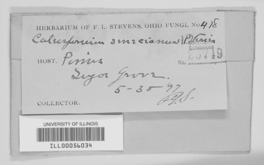
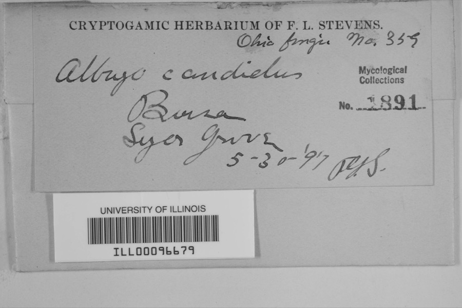
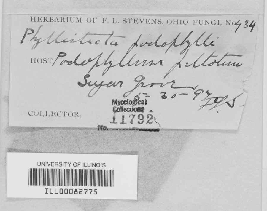
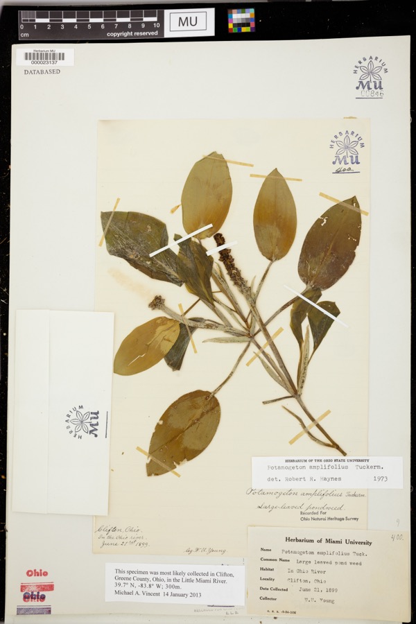
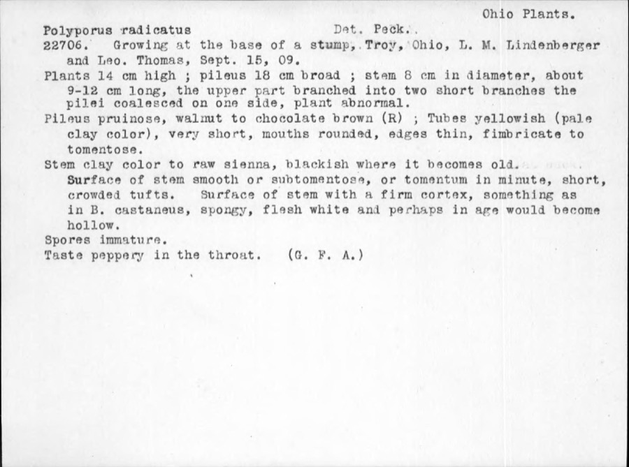
evidence. Museums hold 323 specimens
collected within 10 miles of Rial, York, House between 1835 and
1973: 292 Animalia, 16 Plantae, 13 Fungi, 1 Unrecorded, 1 Chromista. 12 distinct Species records are shown.
Collected by A. Gaufin, A. R. Gaufin, A.R. Gaufin and others. Each is a
physical object with a catalogue
number, and each entry opens the museum's record. This is what was
collected and kept, not a survey of what lives here - nothing can be
concluded from a species being absent.
Regional context, not property-specific
evidence. The federal mineral resources record lists
4 workings within 5 miles of Rial, York, House: 2 past producers, 2 producers.
2 still produce. What was taken out: Sand and Gravel, Construction, Limestone, General, Stone, Crushed/Broken. Distance is straight-line from the
map coordinates, so a quarry counted here may appear on a neighbouring
settlement's page as well.
Regional context, not property-specific
evidence. The National Weather Service names
Piqua, the town this property stands in, in 46 storm reports between 1995 and 2024: 27 thunderstorm wind, 12 hail, 2 tornado, 2 flash flood.
The reports record 1 death and 1 injury. Each account below is quoted exactly as the forecast office
filed it, from the NOAA Storm Events Database, and each date
opens the federal record of that event.
Many trees and power lines were blown down across the county. In Piqua alone, at least 130 trees were knocked down, 12 homes damaged severely, and 3 vehicles were nearly destroyed.
Two 24 inch diameter trees were downed at the intersection of US Route 36 and Casstown Road. A few large tree limbs were downed along Miami-Shelby County Road.
No historic map-sheet match is published
for this property yet. That does not mean no map exists. This record needs
a coordinate-quality review before it can be joined to a sheet boundary.
Browse the county's mapped places while that work is
pending.
From the nomination file
10,408 words on record
When this property was proposed for the
National Register, someone wrote the case for it: what the building is,
and why it matters. That document is a federal record in the public domain.
It is quoted below word for word, never summarised. The text was read off the scanned case file by machine, so the
occasional stray character is the recogniser's and the 1970s
typewriter's.
Description of the property
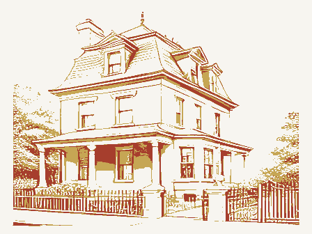
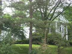
re-arranged when rooms were added, this house is remarkable because it has not rooms on both levels are of equal size with nineteenth century woodwork at the The 1890 house is a frame one and one-half story gabled structure which frame or cement block and a half of a brick house are found in the black of the river. Great Miami River. It has never been annexed by the City of Piqua, but is community. The Rial house sits alone, without any outbuildings or barn, on is divided into two rooms up and two rooms down. (See sketch of house) The doorways, windows and stairs. The downstairs east room has a steep stairway simulate brick, show near the eaves of the structure.
Underthe porch is Because so many of these small modest frame houses have had the interiors date The York Rial House is located near Piqua in Springcreek Township of Miami risers and steps are unfinished wood and have not been covered.An old mantle the original portion of the house,but runs parallel to the long side.The from the 1950s allows. for a bathroom and family room.The earlier wood siding residents at the turn of the century.The interior of the original 1890 house Since 1846,the area has been the home of a small group of freed blacks, was noted in a 1901 article from the Piqua Daily Call as "our useful and -- community planning - archeology-historic _ science - agriculture _ economics _ literature - sculpture X architecture -education X social/ - music X 1800-1899 .
(in one paragraph) Areas of Significance-Check and justify below .communications incomplete.Like most other former slaves the Randolph people were not military -conservation assign an unusually small appraisal value to a house or if thought to be worth before the Civil War.Finally, the Rossville community, where Randolph Slave which devastated much of southwest Ohio, washed away many of the other small houses in the Randolph Slave community at Rossville. is found repeatedly in rural black settlements that were established in Ohio or changed hands were not considered tobe important.Finally,the 1913 flood which can be definitely documented as.being built for one.of the Randolph landscape architecture.___.
religion freed slave who built this house in 1890 at Rossville, gained national attention between 1907 and 1917 when he represented the Randolph Slave descendants in a court case. They sought to reclaim the 3200 acres of land in Mercer County that had been purchased for them through Randolph's will. The of any one dwell.ing difficult to document through courthouse records.
Because many of the houses were fairly insubstantial construction and had no heavy buildings were sometimes on parcels of land that changed hands frequently and art accustomed to owning land and dwellings, and record-keeping of property was Rossville an 1871 atlas map shows as many as three houses sitting on one small The York Rial House is significant because of its association with one of the Builder/Architect unknown Ohio before the Civil War are difficult to trace through primary sources.In 9.
Quoted from the National Register nomination
for reference 86002620, 48 pages, held by the National Archives in Record
Group 79. See the
catalogue record.
Listed places nearby
6 within 8 miles
Other National Register properties close
enough to walk or drive between, ordered by distance from this one. Both
positions come from the same geocoding pass that matched these properties
to their map sheets.
Listing record. National Park Service National Register of Historic Places, listed-properties dataset, current to 2026-05-22.
Map join. Address geocoded through the United States Census geocoder, then tested against the published boundary of every sheet in the USGS Historical Topographic Map Collection.
How this page is made. Listing fields come from federal records; map-sheet coverage is a labelled coordinate-to-boundary calculation, not a source-field claim.
Specimens. Global Biodiversity Information Facility (GBIF), https://www.gbif.org/. Only records licensed CC0 or CC BY are used. Records licensed CC BY-NC are excluded because this site carries advertising. Images are checked individually and any whose licence is non-commercial, no-derivatives or unreadable is refused.
Mines and quarries. USGS Mineral Resources Data System (MRDS) https://mrdata.usgs.gov/mrds/ A work of the United States government, no copyright under 17 U.S.C. 105.
Storms. NOAA National Centers for Environmental Information, Storm Events Database https://www.ncei.noaa.gov/stormevents/ A work of the United States government, no copyright under 17 U.S.C. 105. Narratives are quoted verbatim from the National Weather Service report and are not edited or summarised.
 Block
Block