Listed on the National Register of Historic Places in
1982. A historic map-sheet match is not published yet. The record needs a coordinate-quality review before it can be joined to a sheet boundary.
From the record
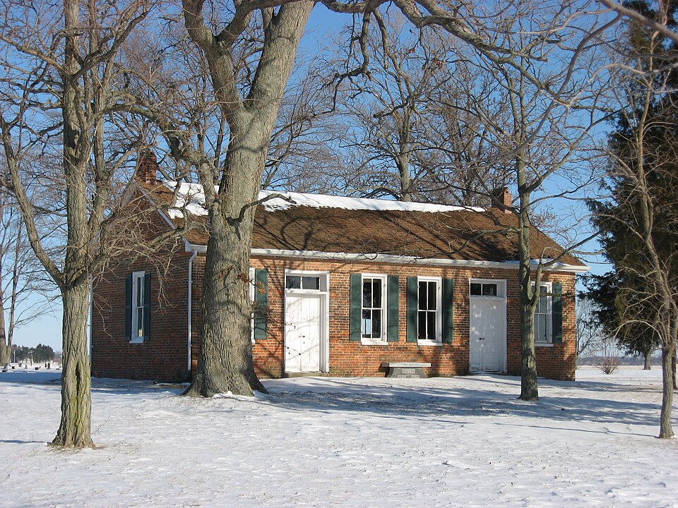
“The Green Plain Monthly Meetinghouse is a historic former Quaker house of worship near South Charleston in Clark County, Ohio, United States. Built in 1843, it was used by a part of a monthly meeting that was established in the area in 1822.”
Wikipedia article Green Plain Monthly Meetinghouse, CC BY-SA 4.0.
one of 32 National Register listings in Clark County · listed in 1982 · category: Building.
National Register reference number.82003551- the number the National Park Service assigned this property when it was listed, and the key its nomination file is catalogued under at the National Archives.
What happened here
An account from the chapter on Madison township, The inset identifies its exact
source book and publication year.
Madison Township soldiers have a record of which her people may well lie proud. From that memorable day in April, 1861, when hostile traitor hands struck tlio old flag, and hostile batteries converged their murderous fires on Sumter, until the day of proud and lasting victory at Appomattox, the sons of Madison Township, with their lives and all they held dear, were at the service of the country and on the side of the Union.
The West Jefferson, South Charleston A Xenia Turnpike was built by a stock company about the year 1844. The Springfield A South Charleston Pike was finished in I860. The Charleston, West Jefferson A Washington Pike was f - ' ' ;.=! iv. 1868. The average cost of these improved roads is put down at $2,000 per mile. *
Christopher Lightfoot was a man of fine education, and a Scotchman. He settled where William Watson now lives, south of the Little Miami depot, some years before South Charleston was laid out, and was one of the prejectors of that village. He was a school-teacher and surveyor.
Regional context, not property-specific
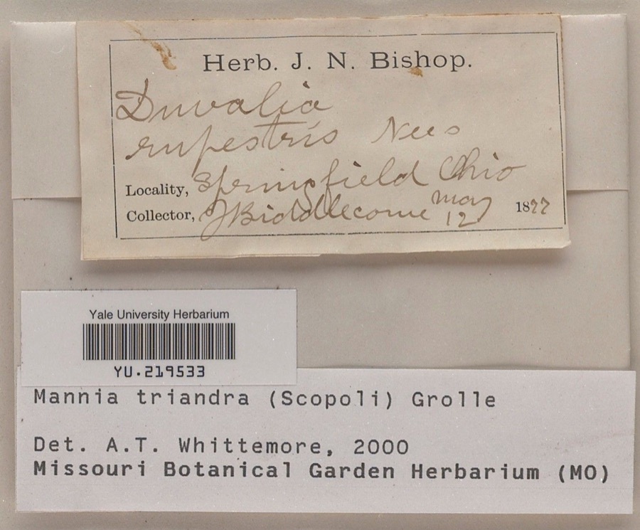
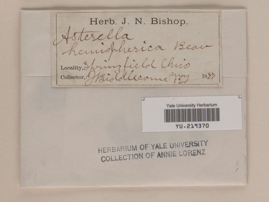
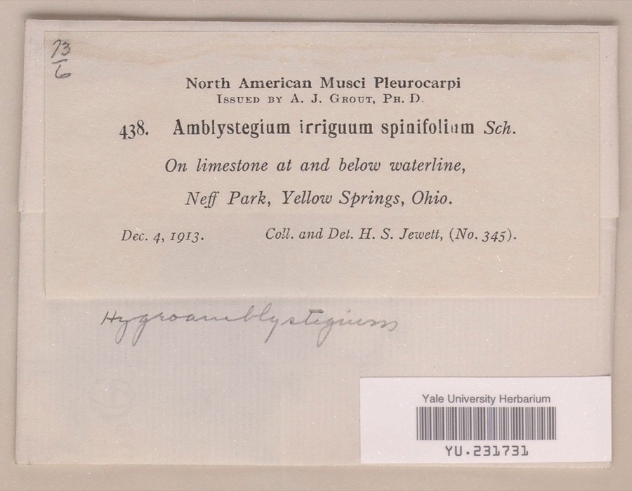
evidence. Museums hold 884 specimens
collected within 10 miles of Green Plain Monthly Meetinghouse between 1870 and
1975: 660 Animalia, 161 Plantae, 61 Fungi, 2 Unrecorded. 12 distinct Species records are shown.
Collected by ?, A. M. Evans, A. N. Leeds and others. Each is a
physical object with a catalogue
number, and each entry opens the museum's record. This is what was
collected and kept, not a survey of what lives here - nothing can be
concluded from a species being absent.
Regional context, not property-specific
evidence. The National Weather Service names
South Charleston, the town this property stands in, in 22 storm reports between 2000 and 2023: 9 hail, 7 thunderstorm wind, 4 flood, 2 flash flood.
No death or injury is recorded in these reports. Each account below is quoted exactly as the forecast office
filed it, from the NOAA Storm Events Database, and each date
opens the federal record of that event.
Water was flowing over multiple bridges in southeastern portions of the county. High water was also reported on several roadways throughout the county.
No historic map-sheet match is published
for this property yet. That does not mean no map exists. This record needs
a coordinate-quality review before it can be joined to a sheet boundary.
Browse the county's mapped places while that work is
pending.
From the nomination file
1,454 words on record
When this property was proposed for the
National Register, someone wrote the case for it: what the building is,
and why it matters. That document is a federal record in the public domain.
It is quoted below word for word, never summarised. The text was read off the scanned case file by machine, so the
occasional stray character is the recogniser's and the 1970s
typewriter's.
Description of the property
long walls when communication between the men and women was necessary. half contains a cemetery.which is still in use and well maintained. - Period - prehistoric _ landscape architecture X. religion _ archeology-historic . conservation _ science - agriculture . literature - sculpture X architecture - military . social/ _ art - music X 1800-1899 . industry & politics/government - transportation least two areas, religion and architecture. Founded in 1822, this branch of the conservative group moved to the present 'site and erècted the existing brick meeting house. The liberal branch is no w extinct and the orthodox continues in Selma. The meeting house at Green Plain, in keeping with the Friends tradition is a relatively stark Greek Revival Building.
However, being almost completely unchanged from the day of its construction, one-hundred and twenty Friends, especially the Conservative wing which retained the seperation of men and women. The structure is also a visible proof of the deep-seated feelings
Statement of significance
(in one paragraph) near-pristine condition also offers a view into an important aspect of the lives 1843,this Hicksite branch split again over the slavery-abolition question.The _economics other (specify) with the orthodox moving to the nearby town of Selma.Seventeen years later 8. Significance The significance of the Green Plain Meeting House can be found inat To all of this may be added the fact that Quakers were instrumental in settling Areas of Significance-Check and justify below - archeology-prehistoric - community planning . exploration/settlement - philosophy seven years ago, it is a highly singular example of the thought of the Society of Society of Friends split into two groups in 182 6 -- orthodox and Hicksites, the several decades immediately preceding the Civil War.
Quoted from the National Register nomination
for reference 82003551, 11 pages, held by the National Archives in Record
Group 79. See the
catalogue record.
Listed places nearby
1 within 8 miles
Other National Register properties close
enough to walk or drive between, ordered by distance from this one. Both
positions come from the same geocoding pass that matched these properties
to their map sheets.
Listing record. National Park Service National Register of Historic Places, listed-properties dataset, current to 2026-05-22.
Map join. Address geocoded through the United States Census geocoder, then tested against the published boundary of every sheet in the USGS Historical Topographic Map Collection.
How this page is made. Listing fields come from federal records; map-sheet coverage is a labelled coordinate-to-boundary calculation, not a source-field claim.
Specimens. Global Biodiversity Information Facility (GBIF), https://www.gbif.org/. Only records licensed CC0 or CC BY are used. Records licensed CC BY-NC are excluded because this site carries advertising. Images are checked individually and any whose licence is non-commercial, no-derivatives or unreadable is refused.
Storms. NOAA National Centers for Environmental Information, Storm Events Database https://www.ncei.noaa.gov/stormevents/ A work of the United States government, no copyright under 17 U.S.C. 105. Narratives are quoted verbatim from the National Weather Service report and are not edited or summarised.
 Block
Block